The best walks and hikes around the Rhone-Rharound thee Canal
4.5
(90084)
430,942
hikers
19,998
hikes
Hiking around the Rhone-Rhine Canal offers diverse landscapes, connecting the Rhône and Rhine Rivers across 237 kilometers. The region features canal-side paths, river valleys, and historical towns like Dole and Besançon. Hikers can explore the sub-alpine Jura Mountains, vineyard-covered slopes in wine regions, and extensive forested areas. This waterway provides access to a variety of environments suitable for outdoor activities.
Best hiking trails around the Rhone-Rhine Canal
- The most popular hiking route is Siebengebirge Loop via Löwenburg and Drachenfels,…
Last updated: July 13, 2026
4.7
(1185)
3,721
hikers
11.7km
03:36
390m
390m
Hike the moderate 7.3-mile Round Seven trail in Siebengebirge Nature Park, offering panoramic views and diverse volcanic scenery.
4.7
(920)
3,047
hikers
12.8km
03:36
280m
280m
Moderate hike. Good fitness required. Easily-accessible paths. Suitable for all skill levels.

Sign up for free
4.7
(837)
2,908
hikers
10.3km
02:39
50m
50m
Moderate hike. Good fitness required. Easily-accessible paths. Suitable for all skill levels.
4.7
(700)
2,423
hikers
11.0km
03:24
360m
360m
Moderate hike. Good fitness required. Mostly accessible paths. Sure-footedness required.
4.6
(607)
2,356
hikers
7.02km
02:31
220m
220m
Moderate hike. Good fitness required. Easily-accessible paths. Suitable for all skill levels.
4.8
(738)
2,295
hikers
25.1km
07:32
720m
720m
Tackle the difficult 15.6-mile "7 in one go" hike in Siebengebirge Nature Park, gaining 2353 feet with panoramic Rhine views.
4.7
(492)
1,678
hikers
16.8km
05:09
600m
600m
Hard hike. Very good fitness required. Mostly accessible paths. Sure-footedness required.
4.8
(221)
1,324
hikers
10.8km
05:13
740m
740m
Hard hike. Very good fitness required. Sure-footedness, sturdy shoes and alpine experience required.
4.6
(447)
1,561
hikers
11.2km
03:14
280m
290m
Moderate hike. Good fitness required. Easily-accessible paths. Suitable for all skill levels.
4.6
(428)
1,560
hikers
6.68km
02:00
130m
130m
Easy hike. Great for any fitness level. Easily-accessible paths. Suitable for all skill levels.
Get access to more routes and recommendations from other explorers.
Sign up for free
Already have an account?
Our route recommendations are based on thousands of hikes, rides, and runs completed by other people on komoot.
Start today with a free account
Your next adventure awaits.
Login or Signup
Popular around Rhone-Rhine Canal
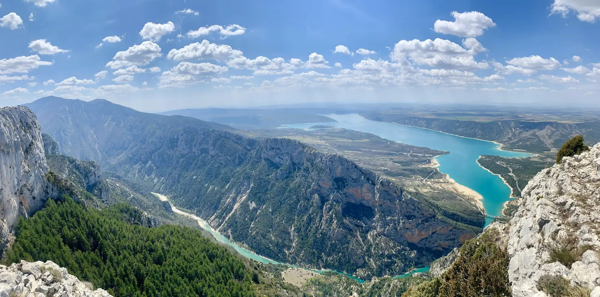
GR 4 – Crossing the south of France from Atlantic Coast to Provence

Alpine Passes Trail – hiking 700km across Switzerland

Hexatrek – The Cévennes to the Pyrenees between gorges and limestone plateau

11 Hessen trails – criss-cross through the countryside
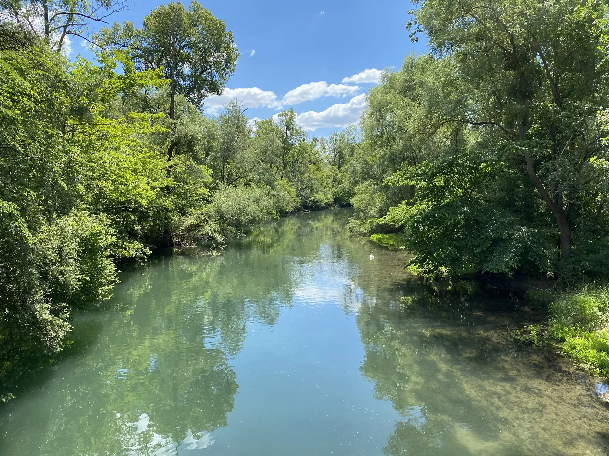
Rheinauenweg hiking path – Jungle tour for water rats
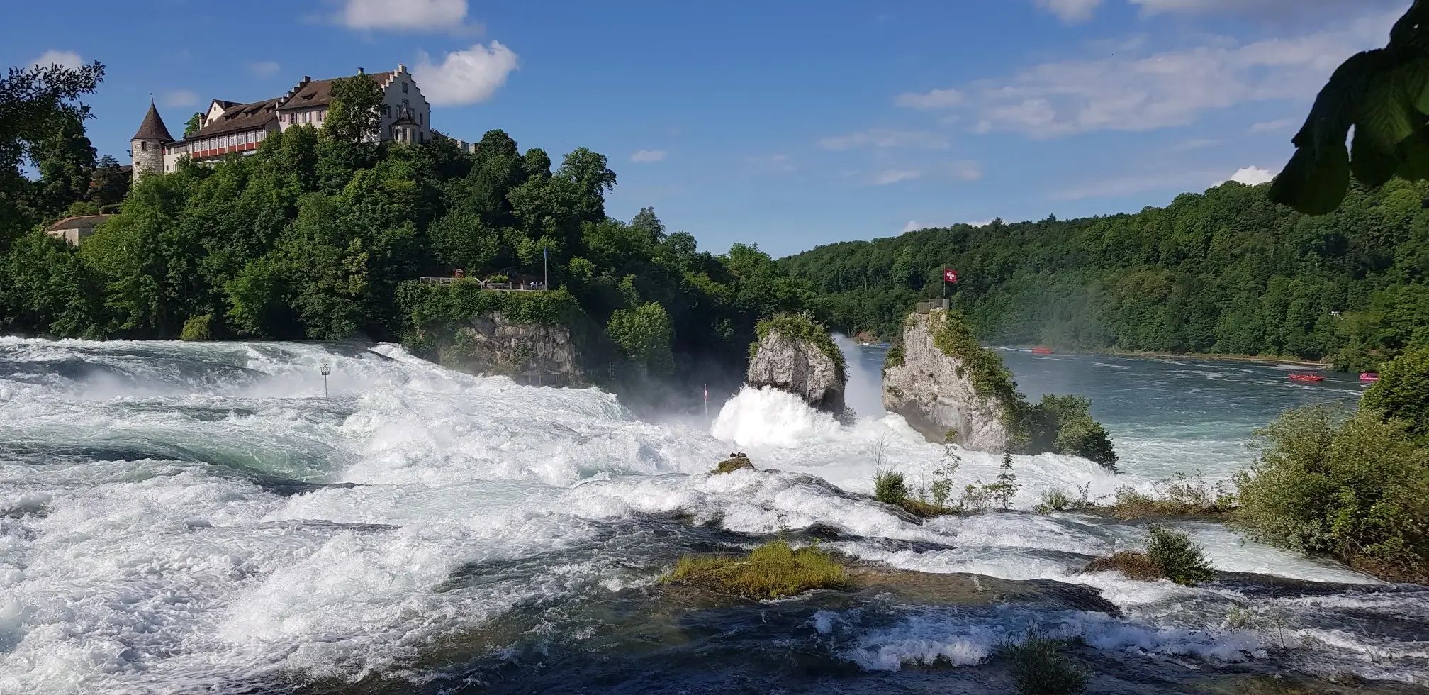
Hochrhein-Höhenweg – Forests and rivers from Germany to Switzerland
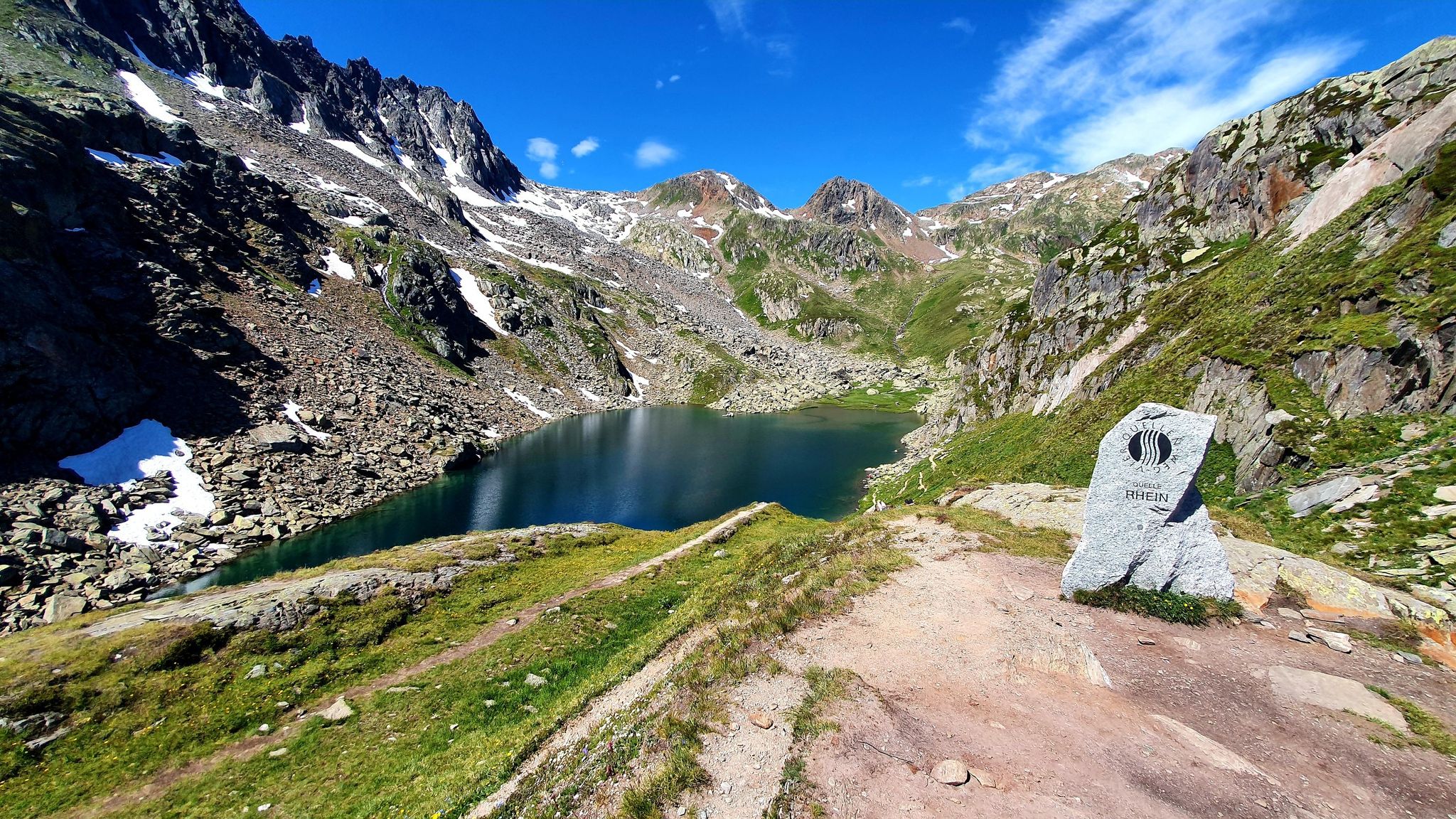
Four Springs Trail — Find flow in Switzerland's Gotthard Massif
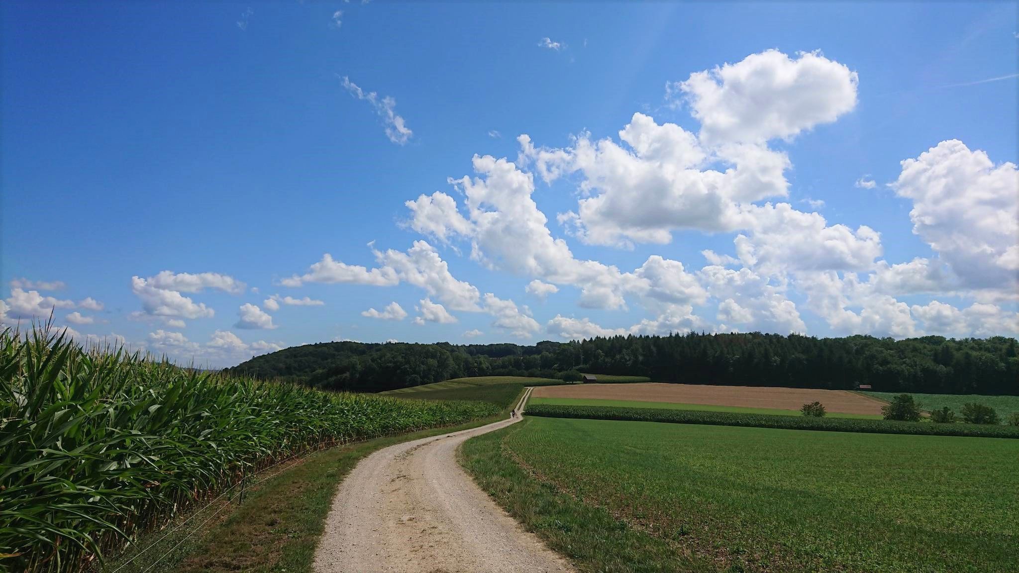
Fricktaler High Trail – Switzerland's green Frick Valley
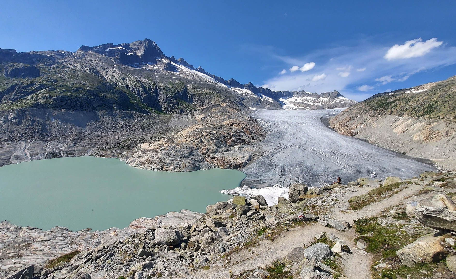
Switzerland's Furka High Trail – Two days of history and nature
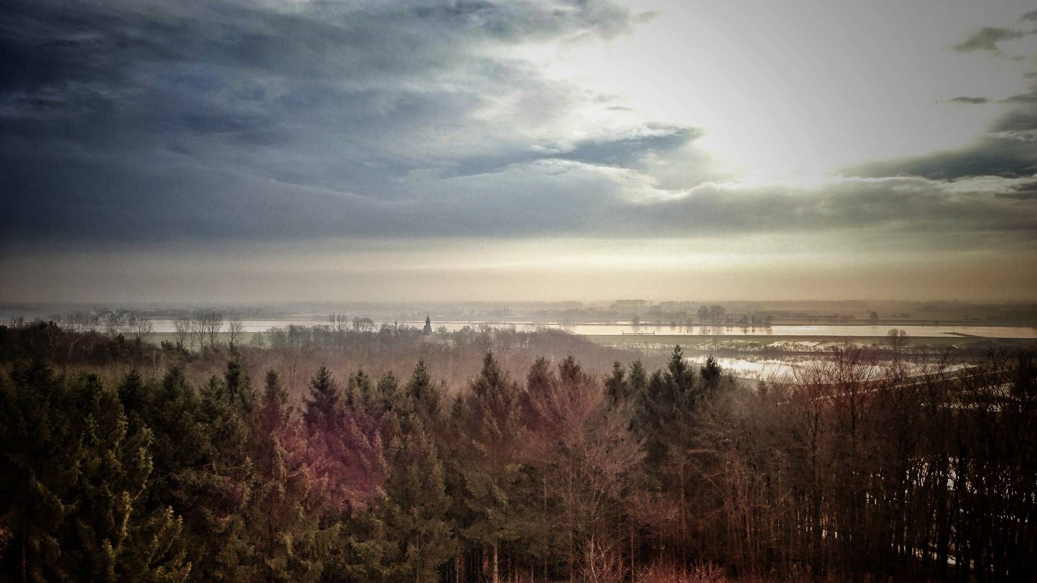
Maarten van Rossumpad – hiking from 's-Hertogenbosch to Steenwijk
Other adventures around the Rhone-Rharound thee Canal


Tips from the Community

On the shore path, you can circle the entire island and reach many attractions. At the same time, you can better let nature affect you and get away from the tourist hustle (tourism is one of the island's main sources of income).
0
0

The path definitely runs through many private properties, so you should also pay attention to the prohibition signs that demarcate private areas. Sometimes the path is also quite narrow and bordered on both sides by trimmed hedges or opaque fences. Nevertheless, it has charm and repeatedly offers great views of the lake shore, the Untersee and as far as Hegau. Incidentally, it provides insights into private garden design ;-)
0
0

Franz Schultz was, alongside Oberberghauptmann Heinrich von Dechen, one of the great promoters of the Siebengebirge. The preservation of the Löwenburg ruin, in particular, is thanks to him. The bronze relief on a viewing terrace on the circular path around the Löwenburg commemorates Franz Schultz. A stone is set into the front wall of the terrace with a metal relief showing Schultz's head in profile. Below it, in raised letters, it reads SCHULTZ * 1831 † 1926. The inscription on a bronze plaque attached below reads: Franz Schultz - born 15.2.1831 Zerbst/Anhalt - died 4.3.1926 Cologne - Dedicated preserver of the Löwenburg ruin. Schultz was born on February 15, 1831, the only child of Ludwig Ferdinand and Wilhelmine Schultz, on the princely domain of Zerbst (Saxony/Anhalt), where his father was a tenant farmer. In addition to his schooling with a private tutor, he already worked in a locksmith's shop and then studied mechanical engineering in Berlin. As an engineer, he worked for several years at the Berlin-Hamburger Eisenbahn before moving to Cologne in 1856, where he led, among other things, the construction of the iron roof structure of Cologne Cathedral. At the time, this was a sensation because only wooden structures were known until then. In 1863, Schultz joined the "Charlier & Van der Zypen" wagon factory, of which he became a partner. In 1896, he sold his shares and, as a wealthy privateer, undertook numerous world travels. The company was absorbed in 1959 by the Cologne-based engine, commercial vehicle, and locomotive manufacturer Klöckner-Humboldt-Deutz AG (see Wikipedia article via link 3). In 1898, Schultz founded a committee with friends of Bismarck that promoted the construction of the Bismarck Tower, which, inaugurated in 1903, still stands today at the mouth of the Cologne Bayenthalgürtel into Rheinuferstraße. Franz Schultz died on March 4, 1926, at the age of 96, in his house in Cologne, which later fell victim to bombs. Until his death, his love was dedicated to the preservation of nature in his home region of Siebengebirge near Bonn, where a square was named in his honor. Source text: Zerbster Heimatkalender 1999
2
0

Look at the noticeboard to take a photo of a train.
0
0

After a short climb there is a great resting place with a view of the greenery.
2
0

During the "opening hours" (in summer on the first Sunday of the month from 10 a.m. to 1 p.m.) you can get an informative talk and go down into the shafts to follow the tunnel for a good 20 meters. It is not known where the water comes from or where it ultimately comes out. There are speculations, but all experiments with colored water have been unsuccessful.
7
1

I can only underline that, it is a really beautiful path. However, parts of the path are currently not accessible because the path is under water.
1
0

Super beautiful view of the Rhine Valley, in the middle of the lush green forests. A beautiful hike for those with a little hiking appetite, rewarded with a great view.
2
1
Frequently Asked Questions
How many hiking trails are available around the Rhone-Rhine Canal?
There are over 19,800 hiking trails available around the Rhone-Rhine Canal. This extensive network offers options for various ability levels, from gentle canal-side strolls to more challenging mountain trails.
What types of landscapes can I expect to see while hiking here?
The Rhone-Rhine Canal region offers a diverse range of landscapes. You'll find picturesque canal-side paths, river valleys like the Doubs, and extensive forested areas. The eastern part of the Jura Mountains, vineyard-covered slopes in wine regions, and dramatic gorges are also accessible, providing varied scenery for hikers.
Are there easy hiking routes suitable for beginners or casual walkers?
Yes, the region has plenty of easy routes. Over 12,000 of the trails are classified as easy, making them perfect for beginners or those looking for a relaxed walk. These often include flat canal-side paths and gentle river valley trails.
What are some notable historical towns or attractions to explore near the hiking trails?
The region is rich in history. You can explore towns like Dole, known for Louis Pasteur's birthplace, or Besançon, home to the UNESCO World Heritage Site 'The Citadel' with its amazing views and Roman ruins. Towards the Rhine, Mulhouse offers a vibrant old downtown. Additionally, you can visit attractions like Drachenfels Castle Ruins or the Niederwald monument, which offer historical insights and scenic viewpoints.
Are there any family-friendly hiking options?
Yes, there are several routes suitable for families. For example, the Drachenfelsrunde – Familienwanderung im Siebengebirge is a moderate 4.4-mile (7 km) trail designed for family enjoyment, exploring the Siebengebirge hills. Many canal-side paths also offer gentle, accessible terrain for all ages.
Can I find circular hiking routes in this area?
Absolutely. Many trails are designed as loops, allowing you to start and finish in the same location. A popular example is the Siebengebirge Loop via Löwenburg and Drachenfels, a 7.3-mile (11.7 km) moderate route offering historical sites and elevated views. Another option is the Caumasee and Rhine Gorge loop, which provides stunning natural scenery.
What do other hikers enjoy most about hiking around the Rhone-Rhine Canal?
The area is highly rated by the komoot community, with an average score of 4.5 stars from over 78,000 reviews. Hikers often praise the diverse scenery, from tranquil canal paths to challenging mountain ascents, and the opportunity to explore historical towns and natural wonders like the Jura Mountains or the Rhine Gorge.
Are there any specific natural features or viewpoints worth seeking out?
Beyond the canal itself, the region offers several natural highlights. The Jura Mountains provide significant hiking opportunities with natural wonders like the Creux du Van and the Chasseral lookout peak. You can also find dramatic gorges, such as the Rhine Gorge, a UNESCO World Heritage Site known for its cliffs and castles. For stunning views, consider the View of Drachenburg Castle.
Are there any trails that pass through wine regions or offer vineyard views?
Yes, particularly in areas connected to the Rhine. Hikers can traverse volcanic, vineyard-covered slopes in regions like the Kaiserstuhl hills and the Rheingau wine region. These trails often offer sweeping panoramic views of the Rhine Valley and the Black Forest, combining natural beauty with cultural landscapes.
What are some longer or more challenging hikes available?
For those seeking a challenge, the region offers difficult routes like the Siebengebirge Seven Summits Trail, a 15.6-mile (25.1 km) route with significant elevation gain. Another demanding option is the 676 Pazolastock – source of the Rhine, a 6.7-mile (10.8 km) difficult trail that takes you to the source of the Rhine.
Can I find trails that lead to lakes or other water bodies?
Yes, the region features several beautiful lakes and water bodies. You can explore areas like the Xanten North Sea or the Xantener Nordsee. The Caumasee and Rhine Gorge loop also includes stunning lake views as part of its scenic journey.
Are there any trails that explore natural reserves or protected areas?
Yes, the region includes several natural reserves. You can hike through areas like the Walsum Rhine Meadows Nature Reserve or the Bislicher Insel Nature Reserve, which offer opportunities to observe local flora and fauna in protected environments.
Most popular routes around the Rhone-Rharound thee Canal
Most popular attractions around the Rhone-Rharound thee Canal

Get inspired with the komoot mobile app


Explore more
Browse the best Hikes in other regions.
