The best walks and hikes around Castelnuovo Di Ceva
4.3
(185)
781
hikers
106
hikes
Hiking around Castelnuovo Di Ceva, located in Italy's Province of Cuneo, offers diverse landscapes for outdoor enthusiasts. The region is characterized by rolling hills and extensive, dense forests primarily composed of chestnut and beech trees. Situated on a vast plateau at approximately 800 meters of altitude, the area provides panoramic views and features numerous waterways, including the source of the Belbo River.
Best hiking trails around Castelnuovo Di Ceva
- The most popular hiking route is From Priero to Castelnuovo di…
Last updated: July 9, 2026
1
hikers
7.48km
02:03
110m
110m
Moderate hike. Good fitness required. Easily-accessible paths. Suitable for all skill levels.
15.9km
04:48
540m
540m
Moderate hike. Good fitness required. Easily-accessible paths. Suitable for all skill levels.

Sign up for free
1
hikers
17.2km
05:04
490m
490m
Hard hike. Very good fitness required. Easily-accessible paths. Suitable for all skill levels.
6.72km
01:55
160m
160m
Easy hike. Great for any fitness level. Easily-accessible paths. Suitable for all skill levels.
4.3
(7)
16
hikers
14.3km
04:00
290m
290m
Moderate hike. Good fitness required. Easily-accessible paths. Suitable for all skill levels.
Get access to more routes and recommendations from other explorers.
Sign up for free
Already have an account?
Our route recommendations are based on thousands of hikes, rides, and runs completed by other people on komoot.
Start today with a free account
Your next adventure awaits.
Login or Signup

Tips from the Community

thanks to komoot if I'm not lost there are no directions
0
0

Small square in the small village, but well cared for
0
0

Located in the center of Sale San Giovanni, it was built to defend the city in the distant 900 to oppose the offensives of the Saracens. Today a part of the castle is used as a venue for exhibitions, concerts, events and receptions.
2
0

There are two main paths: the one which from the entrance to the reserve follows the Belbo stream quite faithfully and ends up in the equipped area, and the "Menhir path" which starts from the Pilone del Foresto and then continues uphill towards Montezemolo . Both can be covered quite easily both downhill and uphill, be careful because it is possible to meet people on horseback.
1
0
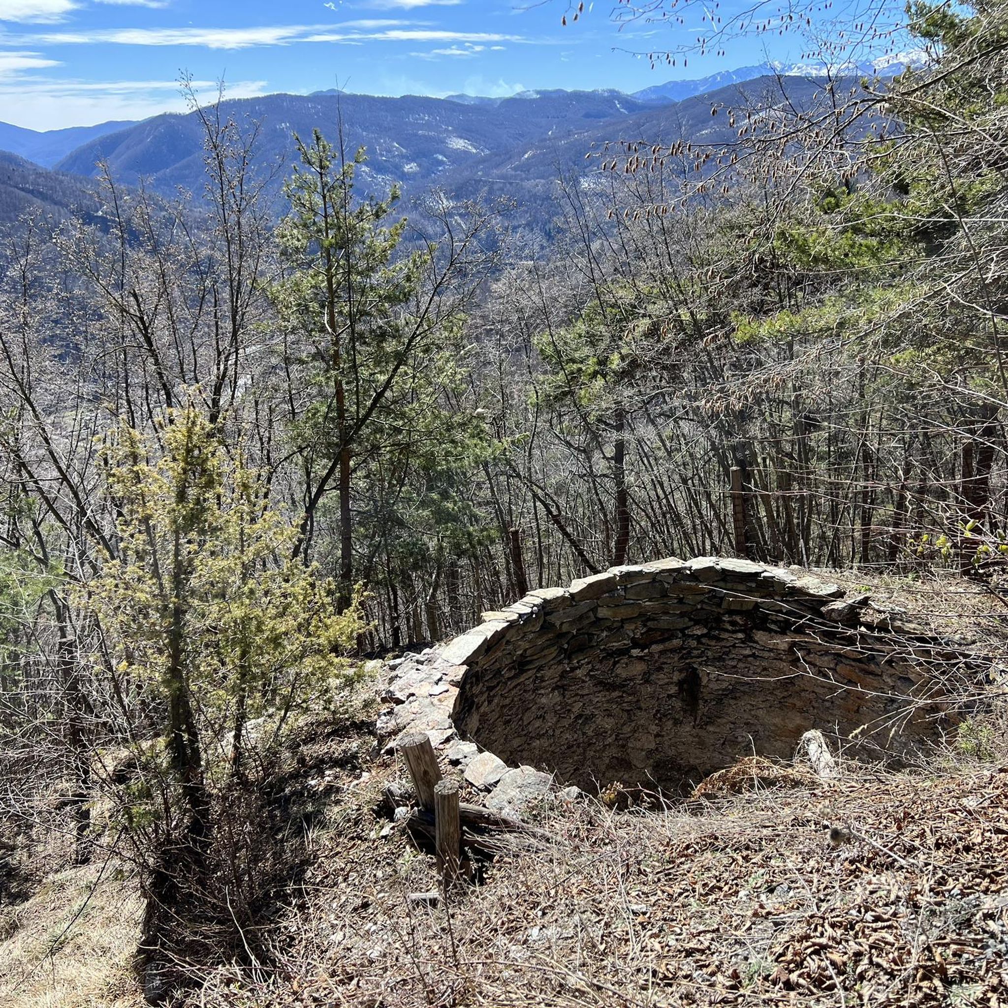
I have been able to find out very little about this church: it is known that it was placed to watch over an ancient crossroads of paths, used in ancient times to trade salt (on the other hand, salt is mentioned in many local toponyms, just mention the town of Sale Langhe). Until a few years ago, however, it was a ruin, overgrown with climbing plants, recently a group of willing people rearranged it, redoing the roof, cleaning up the walls and also highlighting the apse which, in addition to the altar, also kept a fresco of which unfortunately few traces remain. Transit point of the cart track which from the entrance to the reserve continues towards Camerana (slight uphill then downhill, the ancient salt road), and arrival point of the "Sentiero del Menhir" which instead crosses the reserve, another beautiful trail for MTB . Recommended for a lunch stop, unfortunately there is no water.
2
0

Privately owned castle not open to visitors
2
0
Frequently Asked Questions
What kind of terrain can I expect on hiking trails around Castelnuovo Di Ceva?
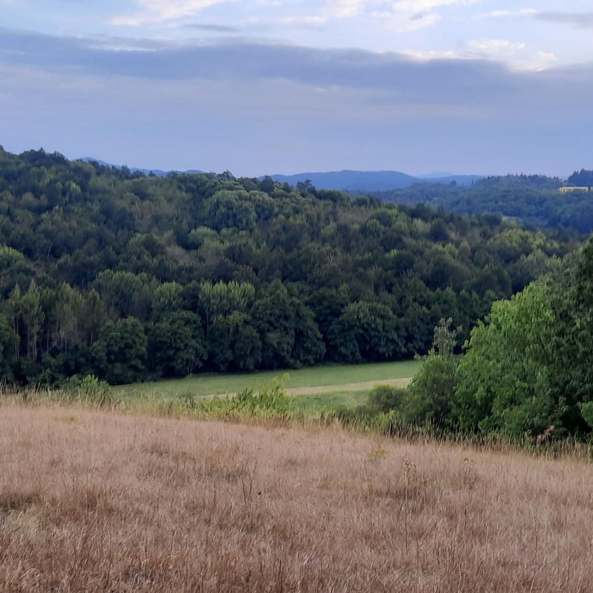
The region around Castelnuovo Di Ceva is characterized by rolling hills and extensive, dense forests primarily composed of chestnut and beech trees. Situated on a vast plateau at approximately 800 meters of altitude, the area provides impressive panoramic views. You'll find trails that wind through these woodlands, often leading to picturesque spots with various waterways and even waterfalls.
Are there any easy hiking trails suitable for beginners or families in Castelnuovo Di Ceva?
Yes, Castelnuovo Di Ceva offers a good selection of easy trails. For instance, the Ceva countryside loop (via Route B18) is an easy 6.7 km path that takes less than two hours to complete, making it ideal for a relaxed outing. Overall, there are 35 easy routes available in the area.
What natural features or landmarks can I see while hiking in the area?
Hikers can discover natural beauties such as waterfalls, various waterways, and lakes. A significant natural highlight is the source of the Belbo River, which can be explored via the Belbo River Source Loop (Trail B20). You can also find highlights like Lago dei Panchi and the Sorgenti del Belbo Trails CN.
Are there any historical sites or cultural attractions accessible from the hiking trails?
Beyond the natural beauty, the area is rich in history. You can find medieval villages and historic ruins. Notable attractions include a towering 24-meter medieval tower and a Romanesque chapel adorned with 1459 frescoes depicting the martyrdom of San Maurizio. You might also encounter artistic 'Big Benches' in the vicinity, such as Big Bench #28 in Ceva, offering unique viewpoints.
What do other hikers say about the trails in Castelnuovo Di Ceva?
The routes in Castelnuovo Di Ceva are highly rated by the komoot community, with an average score of 4.3 stars from over 170 reviews. Hikers often praise the diverse landscapes, the tranquility of the forests, and the panoramic views from the plateau. Over 780 hikers have used komoot to explore the varied terrain here.
Are there any circular hiking routes available?
Yes, there are several circular routes. A popular option is the Priero Loop, a moderate 15.9 km trail. Another is the Belbo River Source Loop (Trail B20), which is a moderate 7.5 km path exploring the tranquil countryside. For a shorter, easy option, consider the Ceva countryside loop (via Route B18).
What is the best time of year to go hiking in Castelnuovo Di Ceva?
The region's lush forests and varied terrain make it enjoyable across multiple seasons. Spring and autumn are particularly pleasant, with mild temperatures and vibrant foliage. The extensive woodlands provide shade in summer, while the area's altitude offers cooler air. Always check local weather conditions before heading out.
Are there any challenging hikes for experienced trekkers?
For those seeking a more strenuous adventure, there are challenging options. The route From Priero to Castelnuovo di Ceva (via Route B17) is a difficult 17.2 km trail that takes over 5 hours to complete, connecting historical points and requiring good fitness.
Can I find accommodation or places to eat near the hiking trails?
Castelnuovo Di Ceva and its surrounding villages offer various amenities for hikers. While specific cafes or pubs directly on every trail might be limited, you can find accommodation and dining options in the main towns and villages, providing a comfortable base for your hiking adventures.
Are there any specific points of interest related to castles in the area?
Yes, the region has a rich history of castles. You can explore sites like Castello dei Marchesi Incisa di Camerana, Murialdo Castle, and Nucetto Castle, which offer glimpses into the area's medieval past.
How many hiking trails are available in Castelnuovo Di Ceva?
There are nearly 100 hiking trails available around Castelnuovo Di Ceva, offering a wide range of options for all fitness levels. This includes 35 easy routes, 59 moderate routes, and 4 difficult routes.
Are there any trails that pass through lavender fields?
Yes, nearby areas like Sale San Giovanni are known for their fragrant lavender fields. One notable historic trail connects Priero to Sale San Giovanni, allowing hikers to explore medieval history and these beautiful fields, adding another layer of scenic beauty to the hiking experience.
Most popular attractions around Castelnuovo Di Ceva

Get inspired with the komoot mobile app


Explore more
Browse the best Hikes in other regions.
