The best running trails around Altare
4.4
(85)
3,245
runners
75
runs
Jogging routes Altare are characterized by the region's unique geographical position at the Cadibona Pass, where the Ligurian Alps meet the Ligurian Apennines. This area offers a diverse landscape of rugged mountains, lush valleys, and dense woodlands. Runners can expect varied gradients and natural paths, providing options for both casual jogs and more strenuous trail running.
Best jogging routes around Altare
- The most popular jogging route is Bocchetta di Altare loop from Altare, a 7.3 miles (11.8 km) trail…
Last updated: October 11, 2026
5.0
(2)
53
runners
11.8km
01:34
460m
460m
Hard run. Very good fitness required. Sure-footedness, sturdy shoes and alpine experience required.
4.5
(2)
44
runners
11.3km
01:24
330m
330m
Hard run. Very good fitness required. Mostly paved surfaces. Suitable for all skill levels.

22
runners
9.44km
01:08
320m
320m
Hard run. Very good fitness required. Mostly paved surfaces. Suitable for all skill levels.
5.0
(2)
21
runners
13.8km
01:40
370m
370m
Hard run. Very good fitness required. Mostly accessible paths. Some sure footedness required.
6
runners
12.9km
01:32
390m
390m
Hard run. Very good fitness required. Mostly paved surfaces. Suitable for all skill levels.
Get access to more routes and recommendations from other explorers.
Already have an account?
Our route recommendations are based on thousands of hikes, rides, and runs completed by other people on komoot.
Start today with a free account
Your next adventure awaits.

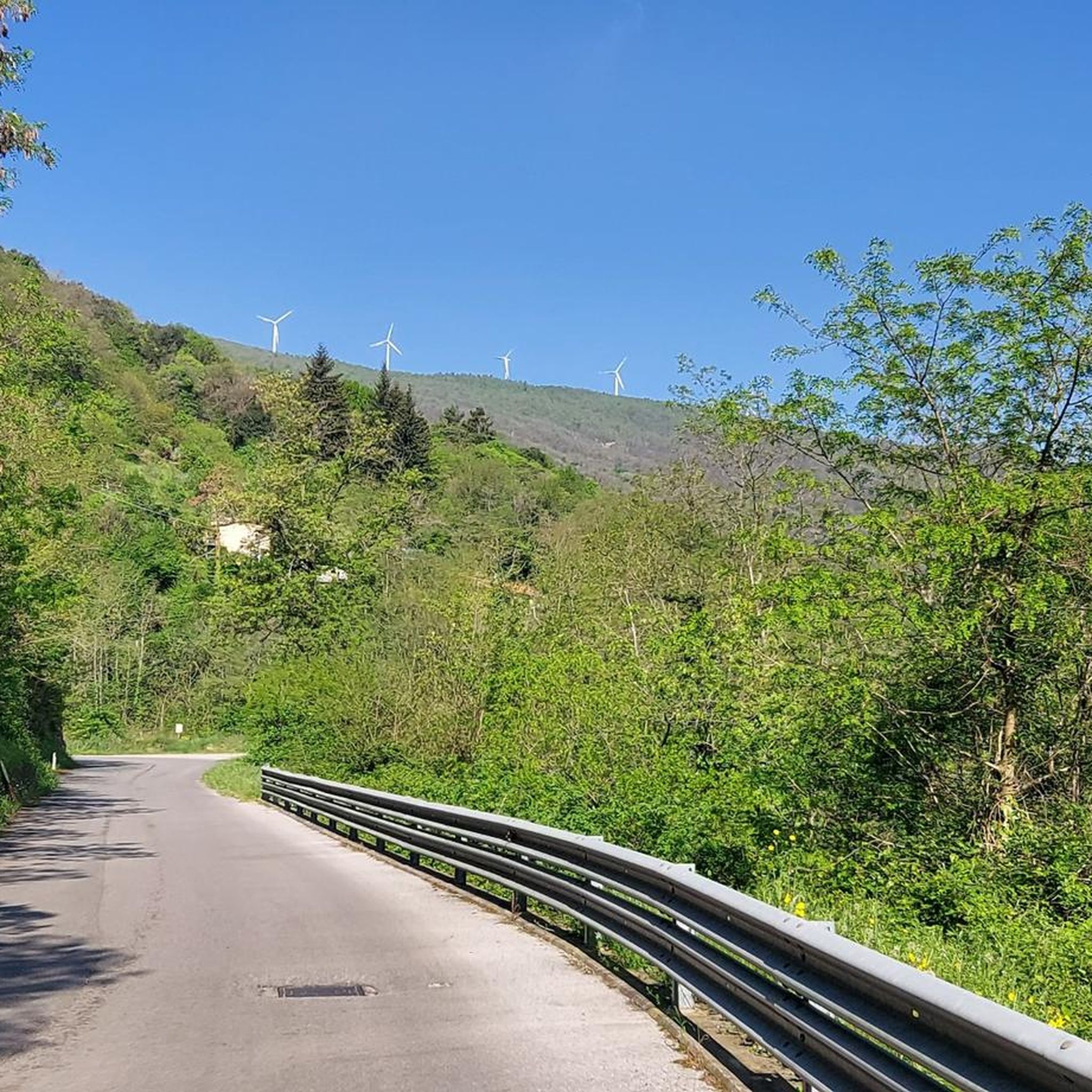
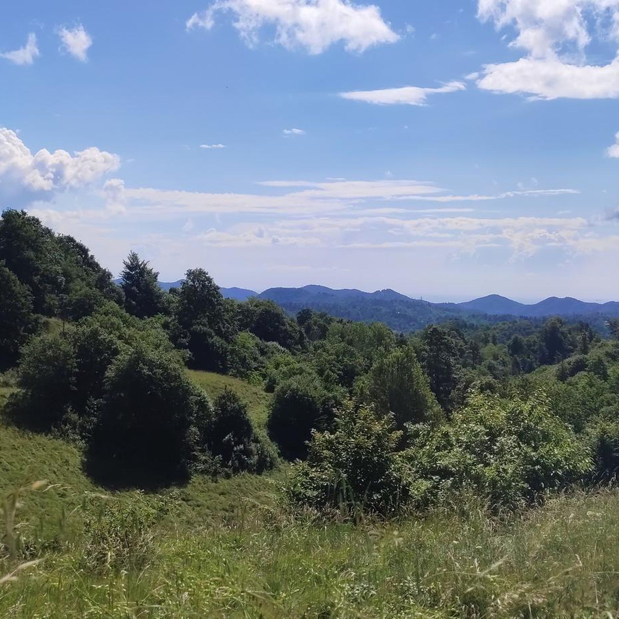
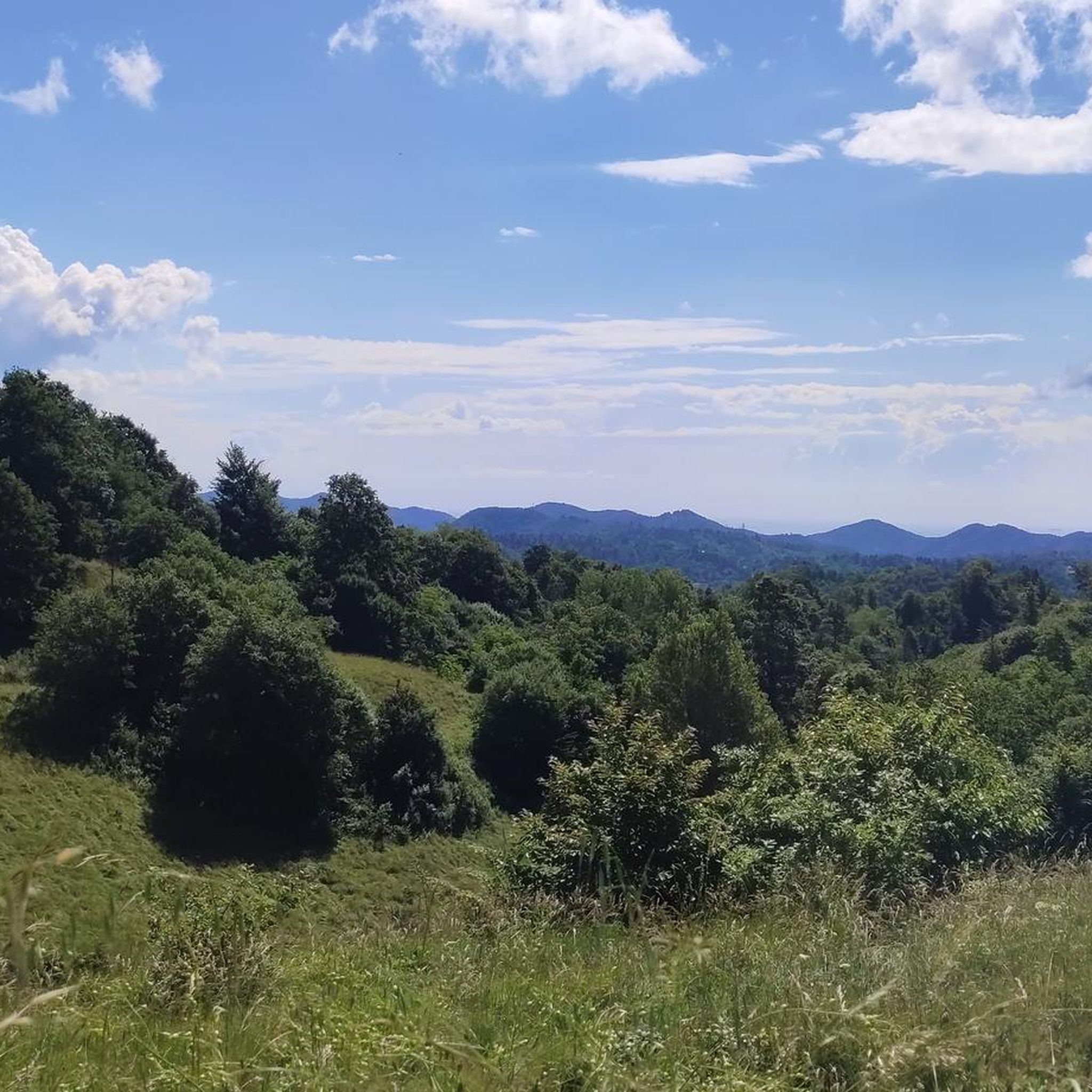
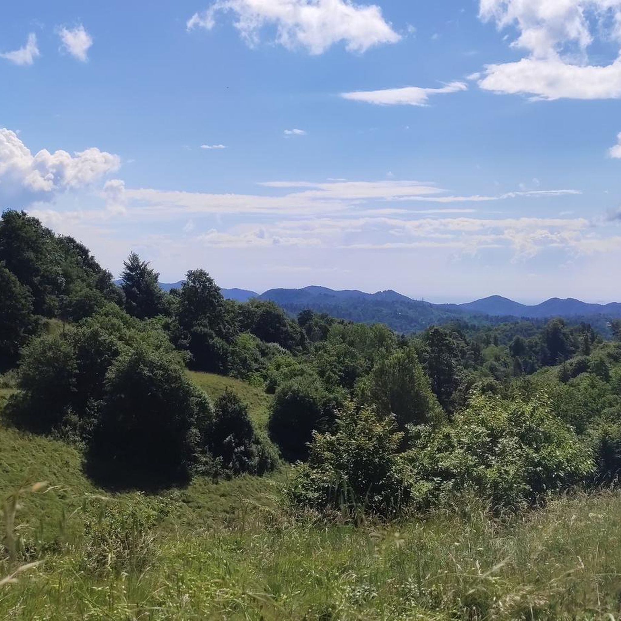

Other adventures around Altare

Tips from the Community

Common location in the upper Bermuda Valley.
17
0
Great place to top up your water bottles.
14
0

A fairly large crossroads where forest highways and trails meet.
0
0

Every time I'm here I'm happy about the two clear signposts ⬅️➡️ to Orco Feglino 😂
0
0

fundamental joint for mallare and/or super groppo and the manias
0
0

Nice destination with lots of seating options
1
0

eMTB video by GIOCAL: https://youtu.be/v8pqqBGMruE?si=x9Q30IZlhbB20HmR
0
0

Free refill, pump and tools for repairing faults. Free charging and self-repair station for bicycles and e-bikes.
0
0
Frequently Asked Questions
How many running routes are available around Altare?
There are over 70 running routes around Altare, offering a wide range of options for different skill levels and preferences. The area's unique geography at the Cadibona Pass provides diverse terrain for exploration.
What kind of terrain can I expect on jogging trails in Altare?
Jogging routes in Altare feature a diverse landscape, from rugged mountains and lush valleys to dense woodlands. You'll encounter varied gradients, natural paths, and some dirt/gravel roads, suitable for both casual jogs and more strenuous trail running. The region sits at the juncture of the Ligurian Alps and Apennines, ensuring a varied and scenic experience.
Are there any easy running routes for beginners or families in Altare?
While many routes in Altare offer a challenge, there are a few easier options available. For example, the Running loop from Carcare is a moderate 6.1 km trail with less elevation gain, making it suitable for those looking for a less strenuous run or a family outing. Always check the route details for specific difficulty and terrain.
What do other runners say about the trails in Altare?
The running routes around Altare are highly regarded by the komoot community, boasting an average rating of 4.3 stars from over 65 reviews. Runners frequently praise the varied terrain, the beautiful natural environment, and the challenging yet rewarding experiences offered by the trails in this unique region.
Are there any scenic viewpoints or natural landmarks along the running routes?
Yes, Altare's location at the Cadibona Pass offers numerous scenic spots. You can find breathtaking views from highlights like the Panoramic Viewpoint - Rocca dell'Adelasia or the View of Spotorno and Bergeggi Island from Bric dei Monti. The St. James Pass also provides a historical and scenic destination during your run.
Can I find circular running routes in Altare?
Many of the running routes around Altare are designed as loops, allowing you to start and finish at the same point. A popular example is the Bocchetta di Altare loop from Altare, which explores the significant Cadibona Pass. This design is convenient for runners who prefer not to retrace their steps.
Are the running trails in Altare suitable for dogs?
Generally, many natural trails in the Altare region are suitable for running with dogs, especially those in the Ligurian Alps and Apennines. However, it's always advisable to keep your dog on a leash, especially in areas with wildlife or near roads, and to check for any specific local regulations or protected areas before heading out.
Are there options for long-distance running or trail running in Altare?
Absolutely. Altare's position at the Cadibona Pass, connecting the Ligurian Alps and Apennines, provides access to extensive networks of trails. While not directly part of it, the proximity to the 'Alta Via dei Monti Liguri' suggests that longer, more challenging trail running experiences are available, often following well-marked dirt paths. Routes like the Bric Ramà – Bric del Cornato loop from C. Fornace offer significant distances and elevation for experienced trail runners.
Is there parking available near the trailheads in Altare?
While specific parking information for every trailhead isn't always listed, Altare is a small town, and parking is generally available in or near the village centers, which often serve as starting points for many routes. For routes starting further afield, look for designated parking areas or check local maps for suitable spots near the trail access points.
What is the best time of year to go running in Altare?
Altare offers a beautiful natural environment that can be enjoyed for running throughout much of the year. Spring and autumn generally provide the most pleasant temperatures and vibrant scenery. Summer can be warm, so early morning or late afternoon runs are recommended. Winter running is possible, but higher elevation trails might be affected by snow or colder conditions, so checking local weather and trail conditions is advised.
Are there any interesting historical sites or attractions to see while running?
Yes, the region around Altare is rich in history. The Cadibona Pass itself is historically significant. You might also encounter remnants of the Ex NATO Base, which now serves as a starting point for trails and features unique street art. The St. James Pass, with its church, is another historical crossing point that makes for an interesting stop on a run.
How challenging are the running routes around Altare?
The running routes in Altare cater to a range of abilities. While there are 3 easy routes and 34 moderate routes, a significant portion, 37 routes, are classified as difficult. This means runners can find everything from gentle jogs through valleys to demanding trail runs with considerable elevation changes in the Ligurian Alps and Apennines.
Most popular attractions around Altare

Get inspired with the komoot mobile app


Explore more
Browse the best Running Trails & Routes in other regions.
