The best cycling routes around Castiglione Di Garfagnana
4.5
(584)
3,134
riders
16
rides
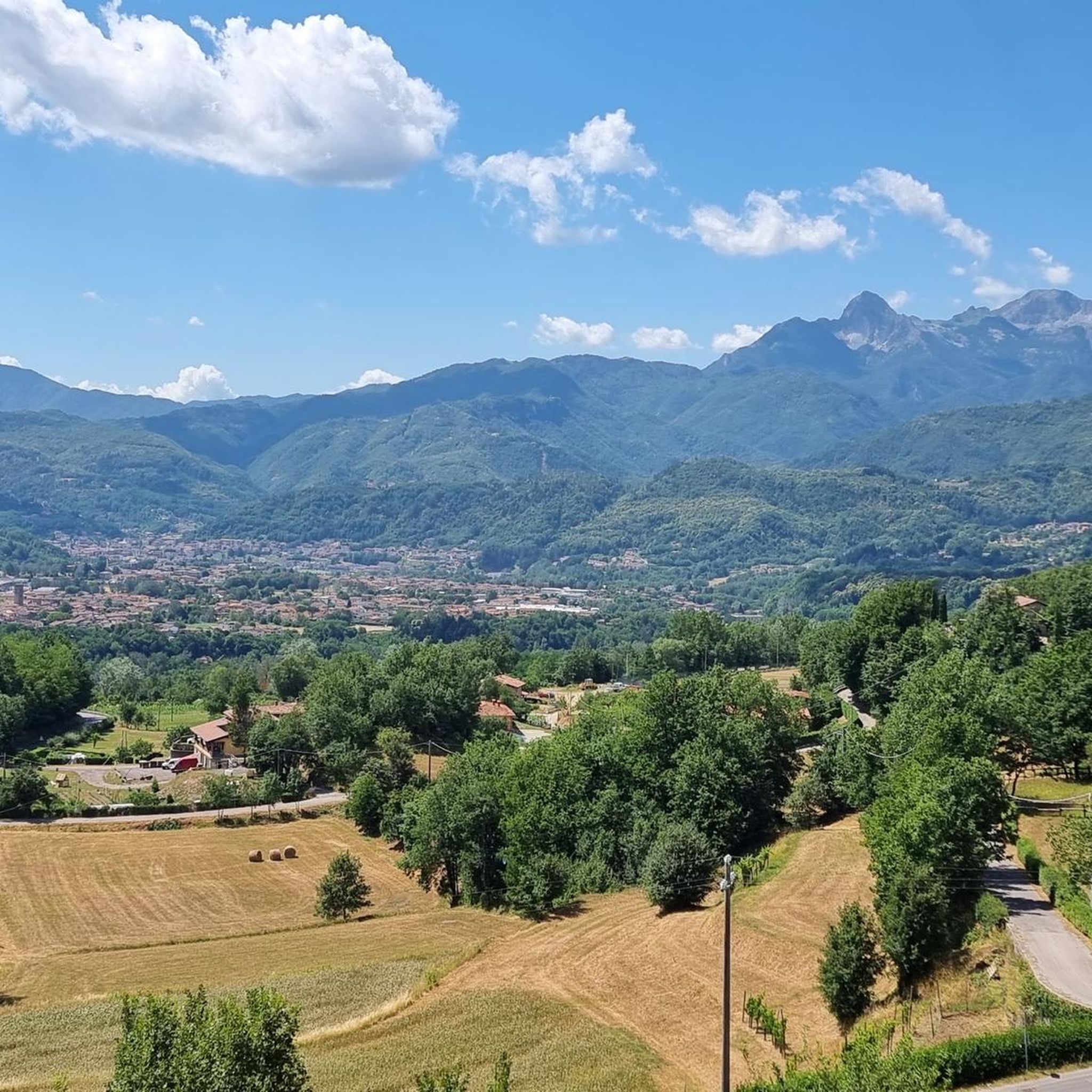
Touring cycling routes around Castiglione Di Garfagnana are situated within the Garfagnana region, characterized by its rugged landscapes and diverse natural features. The area lies between the Apuan Alps and the Tuscan-Emilian Apennines, offering varied terrain for cyclists. Routes often follow the Serchio River and its tributaries through green valleys, featuring both paved and unpaved surfaces. Significant elevation changes are common, providing challenging climbs and descents.
Best touring cycling routes around Castiglione Di Garfagnana
- The most popular touring cycling route…
Last updated: July 11, 2026
5.0
(1)
41
riders
Hard bike ride. Very good fitness required. You may need to push your bike for some segments of this route.
5.0
(3)
62
riders
57.9km
05:28
1,550m
1,550m
Hard bike ride. Very good fitness required. Mostly paved surfaces. Suitable for all skill levels.

Sign up for free
3.0
(5)
53
riders
Hard bike ride. Very good fitness required. You may need to push your bike for some segments of this route.
27
riders
50.6km
04:06
1,150m
1,150m
Hard bike ride. Very good fitness required. Mostly paved surfaces. Suitable for all skill levels.
20
riders
30.7km
02:52
1,290m
1,300m
Hard bike ride. Very good fitness required. You may need to push your bike for some segments of this route.
Get access to more routes and recommendations from other explorers.
Sign up for free
Already have an account?
Our route recommendations are based on thousands of hikes, rides, and runs completed by other people on komoot.
Start today with a free account
Your next adventure awaits.
Login or Signup
Popular around Castiglione Di Garfagnana

Berceto to Abetone – Alta Via dei Parchi (part 1)
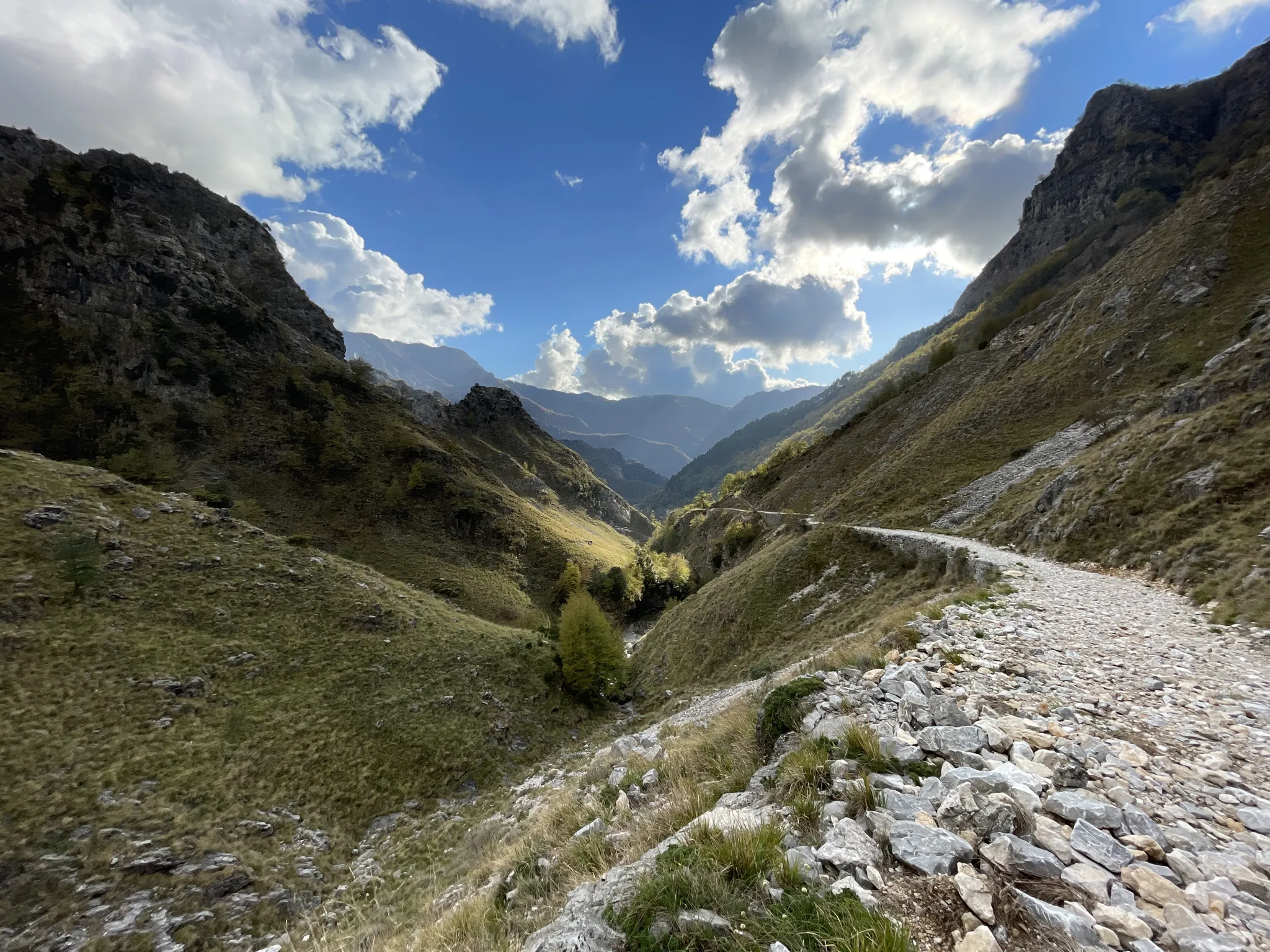
18th-century route from Modena to Massa – Via Vandelli
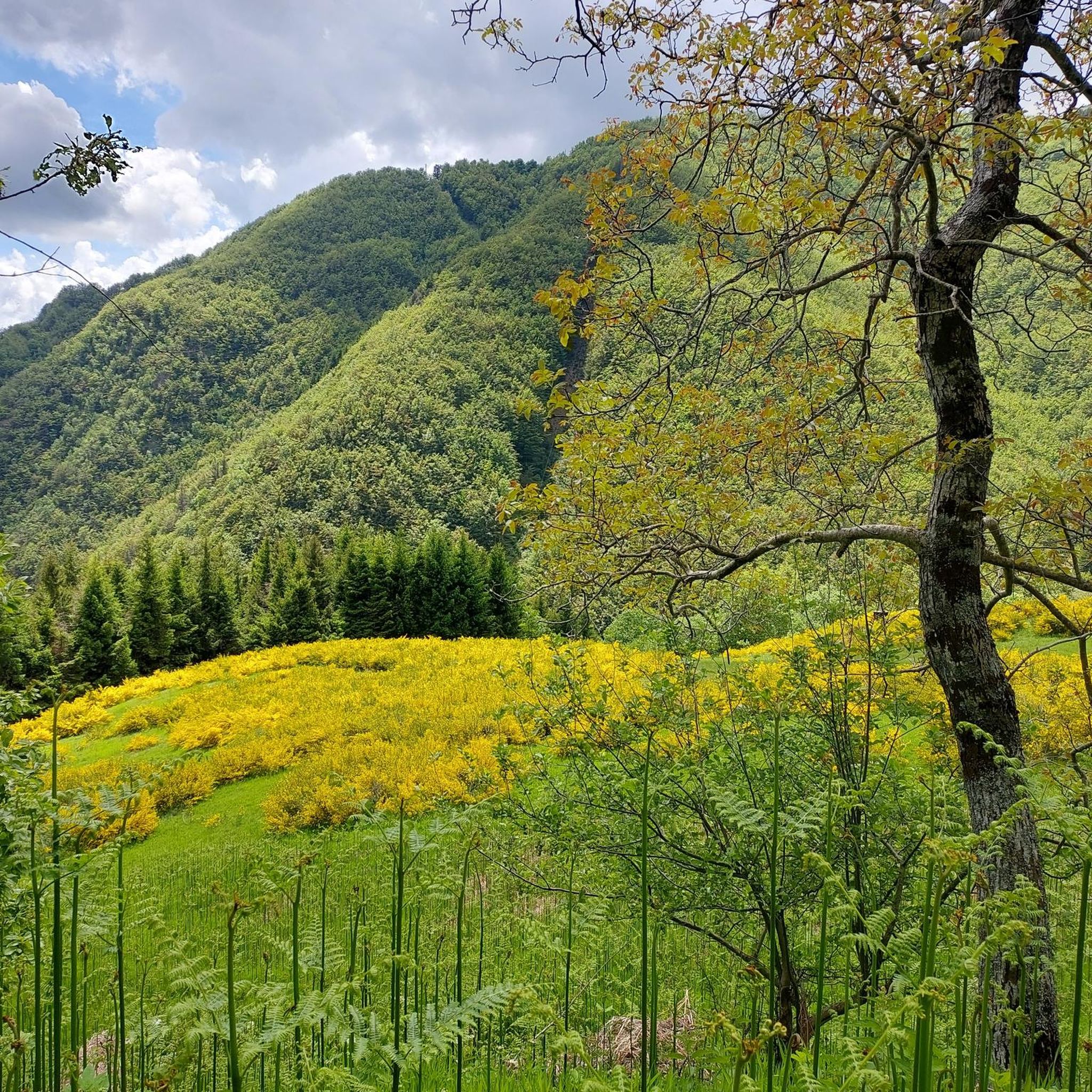
Hiking around Castiglione Di Garfagnana
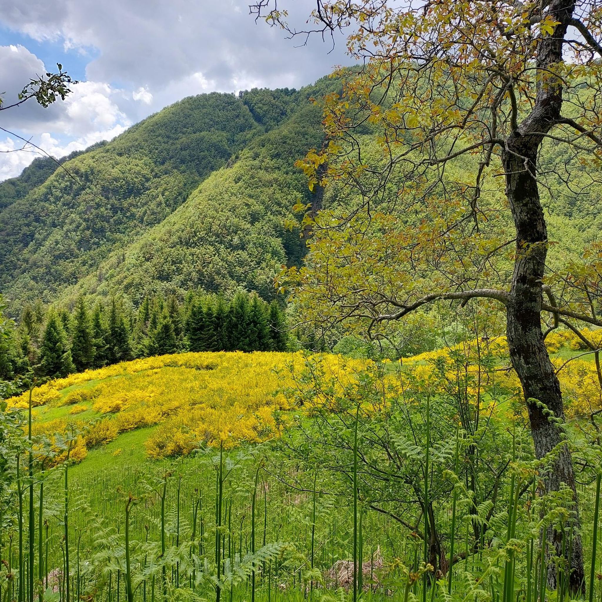
Road Cycling Routes around Castiglione Di Garfagnana
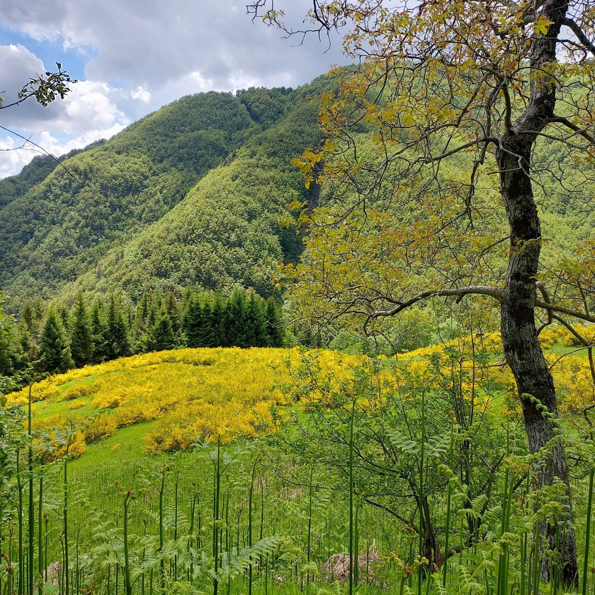
MTB Trails around Castiglione Di Garfagnana
Running Trails around Castiglione Di Garfagnana

Gravel biking around Castiglione Di Garfagnana

Mountain Hikes around Castiglione Di Garfagnana
Other adventures around Castiglione Di Garfagnana


Tips from the Community

In this period the lake is at maximum capacity and offers stunning panoramas in the sunlight
0
0

The Passo di Lama Lite is a very important mountain pass located at an altitude of 1,749 meters in the Alto Appennino Reggiano, on the border between Emilia-Romagna and Tuscany. It is located in the heart of the Tuscan-Emilian Apennine National Park. This pass serves as a fundamental watershed between the valley of the Dolo stream and the valley of the Ozola stream, positioned at the foot of the Monte Prado massif and offering a splendid view of Monte Cusna.
0
0

From whichever side, a very beautiful, lonely ascent or descent. However, it is quite neglected due to the abandoned hotel ruin, at least as of May 2026.
1
0

sieve dam
0
0

A fountain on the road leading to Radici is very useful for cyclists and hikers (especially in summer). The view is spectacular.
0
0

These reservoirs, created to extract hydroelectric energy, have their own charm, even as industrial architecture. This lake conceals the old town beneath its waters. Attractions such as the suspension bridge and zip line, as well as a family pool, have been built around it. During bike rides, I find refreshments here, taking advantage of the opportunity to take a break.
0
0

Frequently Asked Questions
How many touring cycling routes are available around Castiglione Di Garfagnana?
There are over 140 touring cycling routes around Castiglione Di Garfagnana. These routes are highly rated by the komoot community, with an average score of 4.7 stars from over 500 reviews.
What kind of terrain can I expect when cycling around Castiglione Di Garfagnana?
The region offers diverse terrain, situated between the imposing Apuan Alps and the Tuscan-Emilian Apennines. You'll find routes with significant elevation changes, including steep climbs and descents, on both paved and unpaved surfaces. The Serchio River carves green valleys, providing varied landscapes from mountainous to riverside paths.
What is the typical difficulty level of touring cycling routes in this region?
Most touring cycling routes around Castiglione Di Garfagnana are considered difficult, with 129 out of 147 routes falling into this category. There are 18 moderate routes, but no easy routes are listed, indicating that many rides feature considerable climbs and require good to very good fitness.
Are there any circular touring cycling routes in the area?
Yes, many routes are designed as loops. For example, you can explore the All the slopes of Monte Cusna around Monte Prado – gravel loop tour from Casone di Profecchia, or the San Romano in Garfagnana – Castelnuovo di Garfagnana loop from Villa Collemandina which connects charming villages.
What natural attractions can I see while touring cycling in Garfagnana?
The region is rich in natural beauty. You can cycle past picturesque spots like Lake Vagli, famous for its submerged 'ghost town,' or the peaceful Lake Gramolazzo. The area also boasts protected areas such as the Orecchiella Nature Park and the Apuan Alps Regional Park. For impressive geological features, consider visiting the Grotta del Vento (Wind Cave) or Monte Forato, a striking natural arch.
Are there historical sites or charming villages to visit along the cycling routes?
Absolutely. Castiglione di Garfagnana itself is a well-preserved medieval walled town with a fortress and cobbled streets. Other historical sites include the Fortress of Verrucole and the ancient village of San Pellegrino in Alpe. You can also visit highlights like Castelnuovo di Garfagnana, the Ariostesca Fortress, or the Fortezza di Mont'Alfonso.
What is the best time of year for touring cycling in Castiglione Di Garfagnana?
The region experiences a cool climate, making spring and autumn ideal for cycling when temperatures are milder. Summer can also be pleasant, especially at higher elevations, but be prepared for potentially warmer conditions in the valleys. The dramatic landscapes and varied terrain are enjoyable across these seasons.
Are there any routes that offer panoramic views of the mountains?
Many routes provide spectacular mountain vistas. The All the slopes of Monte Cusna around Monte Prado route offers extensive mountain views. The region is nestled between the Apuan Alps and the Tuscan-Emilian Apennines, so panoramic views of peaks like Mount Prado and Pania della Croce are common.
Can I find routes that connect different villages in the Garfagnana region?
Yes, several routes are designed to connect the charming villages of Garfagnana. An example is the San Romano in Garfagnana – Castelnuovo di Garfagnana loop from Villa Collemandina, which takes you through scenic valleys between these historic settlements.
Are there any specific passes or challenging climbs for experienced touring cyclists?
Experienced touring cyclists will find plenty of challenges. The region is known for significant elevation changes. A notable route is the Lama Lite Pass – Radici Pass loop from Casone di Profecchia, which leads through mountain passes and features substantial climbing.
What is the average length and duration of touring cycling routes in this area?
The routes vary in length, but many are substantial. For instance, the All the slopes of Monte Cusna around Monte Prado is 33.9 miles (54.6 km) and takes nearly 6 hours, while the Lama Lite Pass – Radici Pass loop is 36.0 miles (57.9 km) and typically takes over 5 hours.
Is there public transport available to reach Castiglione Di Garfagnana for cycling?
While specific public transport details for cyclists are not provided, Castiglione di Garfagnana is a recognized village within Tuscany. For detailed information on reaching the area by public transport, it is advisable to consult local transport authorities or the official Visit Tuscany website for the Garfagnana region.
Most popular routes around Castiglione Di Garfagnana
Most popular attractions around Castiglione Di Garfagnana

Get inspired with the komoot mobile app


Explore more
Browse the best Cycling routes in other regions.
