The best road cycling routes around Remptendorf
4.7
(145)
1,352
riders
163
rides
Road cycling around Remptendorf offers routes through the hilly terrain and extensive forests of the Naturpark Thüringer Schiefergebirge/Obere Saale. The region is characterized by its slate mountains, providing a unique geological backdrop for rides. Cyclists will encounter the Saale River, which carves through valleys and features idyllic reservoirs, often referred to as the "Thüringer Meer." These diverse landscapes ensure varied and scenic road cycling experiences.
Best road cycling routes around Remptendorf
- The most popular road cycling route is Hohenwarte Dam…
Last updated: October 14, 2026
5.0
(2)
19
riders
71.2km
03:48
1,360m
1,360m
Hard road ride. Very good fitness required. Mostly well-paved surfaces and easy to ride.
31
riders
89.7km
04:40
1,540m
1,540m
Hard road ride. Very good fitness required. Mostly well-paved surfaces and easy to ride.

5.0
(1)
22
riders
54.4km
02:39
810m
810m
Moderate road ride. Good fitness required. Mostly well-paved surfaces and easy to ride.
5.0
(1)
17
riders
74.3km
03:24
820m
820m
Moderate road ride. Good fitness required. Mostly well-paved surfaces and easy to ride.
5.0
(1)
18
riders
77.8km
03:59
1,100m
1,100m
Hard road ride. Very good fitness required. Some segments of this route may be unpaved and difficult to ride.
Get access to more routes and recommendations from other explorers.
Already have an account?
Our route recommendations are based on thousands of hikes, rides, and runs completed by other people on komoot.
Start today with a free account
Your next adventure awaits.
Tips from the Community

Eating a big, delicious Thuringian yeast cake with plums today as a boost before the ascent to the Altvaterturm.😊
0
0

At the Nature Park Information Center „Kalte Küche“ on the Rennsteig, not only three nature parks meet, but also the three districts of Sonneberg, Kronach and Saalfeld/Rudolstadt. Here you will find information about the landscape, crafts and German-German history, as well as numerous free hiking maps. If you need a break, you can refresh yourself at the Rennsteig snack bar with small meals, drinks, coffee and cake. Opening hours: April to October: Tuesday to Friday 10 am - 4 pm, Saturday and Sunday 11 am - 4 pm. November to March: Tuesday to Friday 10 am - 3:30 pm. Monday is a rest day.
9
0

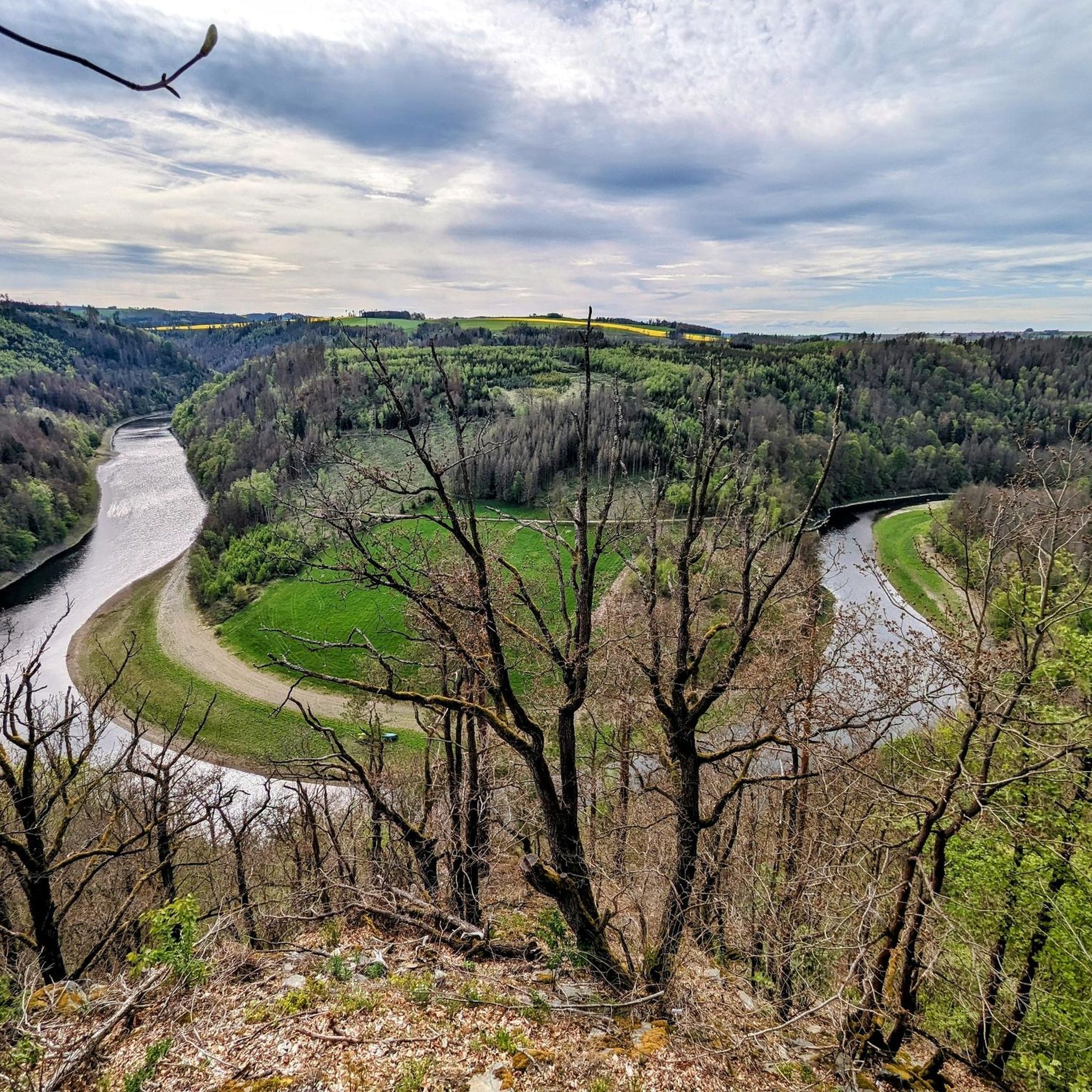
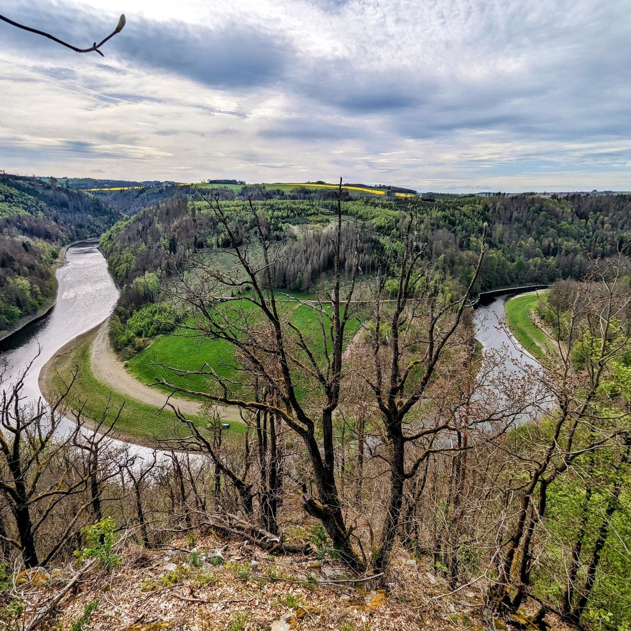
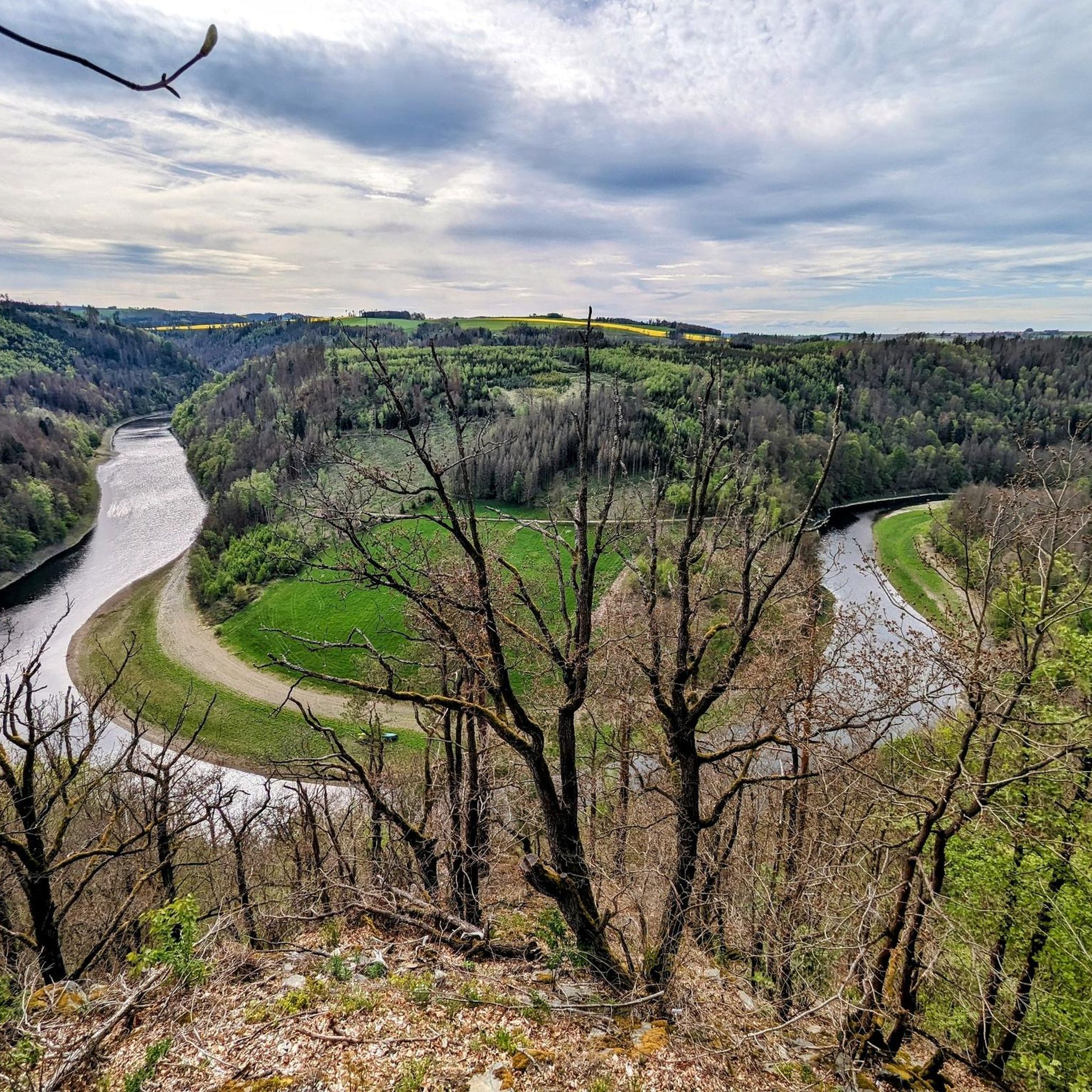
Definitely pedal up from Ziegenrück, even if it's steep. And then head for the view of the Saaleschleife at the top.
0
0

Crisp climb on great asphalt and hardly any traffic, especially in the after-work hours.
0
0

looks quite impressive.
0
0
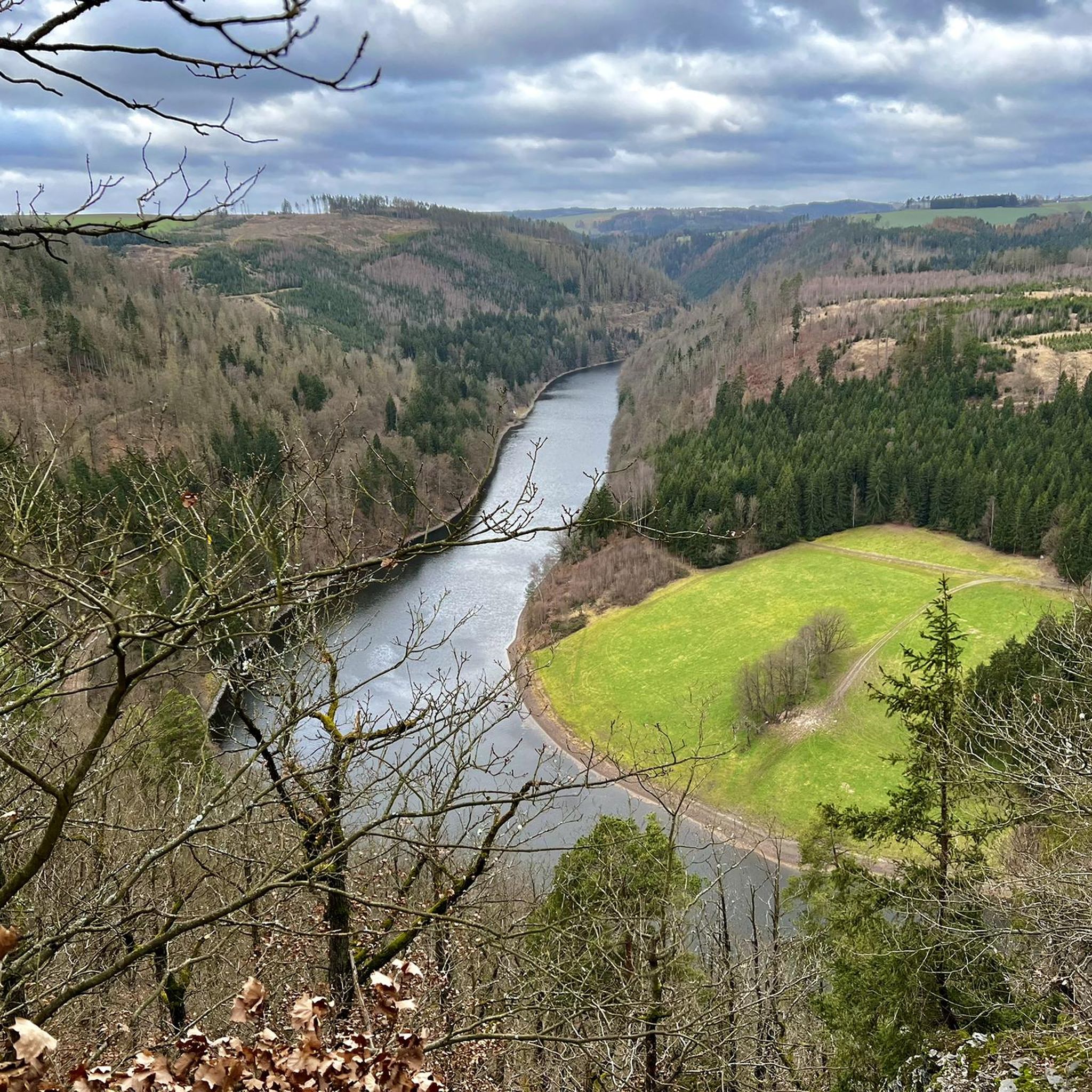
interesting view from the very quiet cycle path.
0
0

This is worth watching.
3
0
This bike path is fine.
4
0
Frequently Asked Questions
How many road cycling routes are available around Remptendorf?
The Remptendorf area offers a wide variety of road cycling routes, with over 170 tours available. These routes cater to different preferences, including easy, moderate, and difficult options.
What kind of terrain can I expect when road cycling around Remptendorf?
Road cycling around Remptendorf features diverse terrain, characterized by hilly landscapes and extensive forests within the Naturpark Thüringer Schiefergebirge/Obere Saale. You'll encounter the picturesque Saale River, which carves through valleys and forms idyllic reservoirs, often referred to as the "Thüringer Meer." The region's unique slate mountains provide a distinct geological backdrop for your rides.
What is the best time of year for road cycling in Remptendorf?
Spring and summer are generally the best seasons for road cycling in Remptendorf. During these months, the weather is pleasant, and conditions are optimal for exploring the region's varied terrain and scenic beauty.
Are there options for different skill levels, including challenging routes?
Yes, Remptendorf offers road cycling routes for all skill levels. There are 9 easy routes for beginners, 97 moderate routes for intermediate cyclists, and 68 difficult routes for experienced riders seeking a challenge. For instance, the Fuchbachmühle – Jagdshofer Ramp loop from Lichtentanne (Thür) is a difficult 55.9-mile path with challenging climbs.
What do other cyclists say about road cycling in Remptendorf?
The road cycling routes around Remptendorf are highly regarded by the komoot community, holding an average rating of 4.7 stars from over 100 reviews. More than 1,200 road cyclists have already explored the area using komoot, praising its varied terrain and scenic beauty.
Are there family-friendly road cycling routes in Remptendorf?
While the region is known for its hilly terrain, sections of the Saale Cycle Path, particularly downstream from Saalfeld, become flatter and are well-suited for families. Additionally, there are 9 easy road cycling routes available in the Remptendorf area that could be suitable for a more relaxed family outing.
Can I find circular road cycling routes in the Remptendorf area?
Yes, many road cycling routes in the Remptendorf area are designed as loops, allowing you to start and end at the same point. An example is the Hohenwarte Dam – Hohenwarte Dam loop from Lückenmühle, a moderate 33.8-mile trail that takes you through the scenic area around the dam.
Are there any historical landmarks or attractions to see along the road cycling routes?
Absolutely. The region is rich in history and culture. You can encounter medieval castles and historical cities along the Saale River. Notable attractions include Burgk Castle and Wysburg Castle Ruins, which offer cultural points of interest during your rides.
Can I combine road cycling with exploring natural caves in the region?
Yes, the Remptendorf area is home to several interesting caves that you could explore. While cycling, you might pass near highlights such as Ilsen Cave or the Rentschenbruch Slate Quarry, offering a unique natural experience.
Are e-bikes suitable for the routes around Remptendorf?
Yes, the Naturpark Thüringer Schiefergebirge/Obere Saale actively promotes cycling with e-bikes. E-bikes are an excellent option for navigating the hilly terrain and covering more challenging routes with greater ease, allowing you to enjoy the scenic landscapes without excessive strain.
What are the parking options for cyclists in Remptendorf?
While specific parking locations for cyclists are not detailed, Remptendorf, as a base for exploring the nature park, generally offers parking facilities suitable for visitors. It's advisable to check local signage or municipal websites for designated parking areas upon arrival.
Are there places to eat or stay along the road cycling routes?
Yes, the region around Remptendorf offers opportunities to visit cultural events or sample regional specialties in nearby towns like Pößneck or Schleiz. Many routes will pass through or near villages and towns where you can find cafes, pubs, and accommodation options to refuel and rest.
Most popular routes around Remptendorf
Most popular attractions around Remptendorf

Get inspired with the komoot mobile app


Explore more
Browse the best Road cycling routes in other regions.
