The best road cycling routes around Lajatico
4.7
(256)
6,089
riders
149
rides
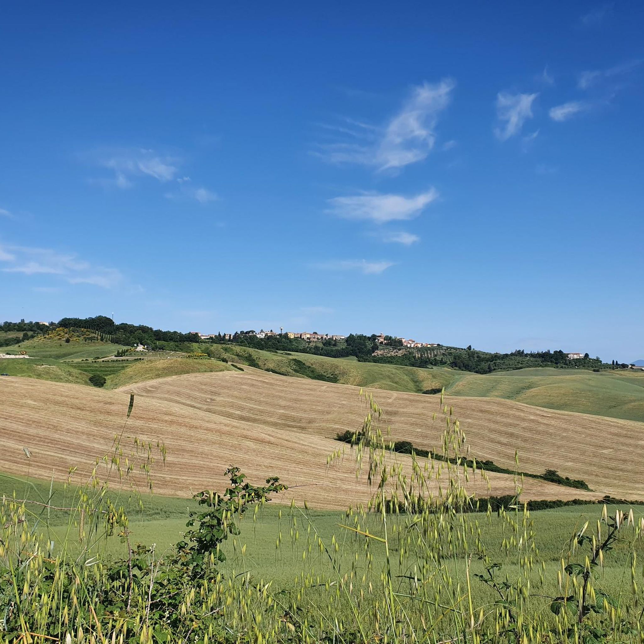
Road cycling routes around Lajatico traverse the rolling hills and agricultural landscapes typical of Tuscany. The region is characterized by its undulating terrain, dotted with historic towns and vineyards, offering varied elevation changes suitable for road cyclists. Routes often connect picturesque villages and provide panoramic views of the surrounding countryside. The area's network of paved roads is well-suited for exploring the heart of rural Italy by bike.
Best road cycling routes around Lajatico
- The most popular road cycling route is…
Last updated: July 8, 2026
4.5
(4)
150
riders
47.6km
02:26
720m
720m
Moderate road ride. Good fitness required. Some segments of this route may be unpaved and difficult to ride.
4.7
(7)
123
riders
54.6km
02:39
710m
710m
Moderate road ride. Good fitness required. Mostly well-paved surfaces and easy to ride.

Sign up for free
49
riders
124km
06:26
2,160m
2,160m
Hard road ride. Very good fitness required. Mostly well-paved surfaces and easy to ride.
5.0
(6)
24
riders
42.1km
02:09
710m
710m
Moderate road ride. Good fitness required. Mostly well-paved surfaces and easy to ride.
27
riders
97.4km
04:41
1,240m
1,240m
Hard road ride. Very good fitness required. Mostly well-paved surfaces and easy to ride.
Get access to more routes and recommendations from other explorers.
Sign up for free
Already have an account?
Our route recommendations are based on thousands of hikes, rides, and runs completed by other people on komoot.
Start today with a free account
Your next adventure awaits.
Login or Signup
Other adventures around Lajatico

Tips from the Community

A jewel nestled among the hills of Val di Cecina, Castello di Querceto dominates the landscape with its discreet and timeless elegance. 🚴♂️✨ 🌾 Surrounded by vineyards and white roads, it represents one of the most evocative points of passage in the area of Montecatini Val di Cecina. 📸 The contrast between the historic architecture of the castle and the Tuscan rural landscape makes it a perfect spot for a photo stop.
0
0

Castrum Montis Leonis, as the village of Montecatini Val di Cecina was called in ancient times, and its center is indeed characterized by imposing buildings and thick black-and-white striped walls, a castle that must have served as a residence for knights from the North. For a long time it was a territory of contention between Pisa and Volterra, and that war was part of the life of this village can be understood, for example, from the two openings made transversely to the Torre dei Belforti, which allow control of the Mastio of Volterra and the Rocca Sillana, a "telescope"... of yesteryear. This territory, dotted with small villages immersed in nature, is then intimately linked to an element - "precious" in many ways - since the time of the Etruscans: copper. In the 19th century, the copper mines in this area were the largest in Europe and - although they have not been in operation since 1907 - today the tunnel, the mining site of Camporciano, the Mining Museum are still visitable, and one can also admire the various stages of the ancient processing of this element.
0
0

Bar with ice cream, pastries, good coffee, snacks and very friendly service.
0
0
Recommended as a refreshment point 😉 From here you can go up to the old center of Montecatini V.C
0
0

Climb towards Montecatini Val di Cecina. 10 km long, cyclable, but in some parts you need to have legs. It is taken from the road that goes from Saline di Volterra to Cecina. The asphalt is not perfect, better to do it uphill, but you can also do it downhill, perhaps with a little attention. Once you get to the top, where there is the wall, if you turn left, you go another 500 meters and you arrive at the Copper mine. It can be visited, and was the largest Copper mine in Europe.
0
0

The majestic and powerful fortress was built on the highest point of the city. Today it is used as a state prison.
0
0

The small, medieval hamlet of Querceto, dating back to 1082, is located on Monte Aneo at an altitude of 260 m above the Cecina River. Querceto means "oak forest" and can only be reached via a narrow, winding path. The ascent and descent are challenging and are a great destination for racing cyclists who love altitude.
0
0
Frequently Asked Questions
How many road cycling routes are available around Lajatico?
There are over 120 road cycling routes in the Lajatico area, offering a wide range of options for different skill levels. You'll find routes varying in distance and elevation, catering to both casual riders and experienced cyclists.
Are there road cycling routes suitable for beginners in Lajatico?
Yes, Lajatico offers several routes suitable for beginners. There are 11 easy road cycling routes that feature gentler gradients and shorter distances, perfect for those new to road cycling or looking for a relaxed ride through the Tuscan countryside.
What kind of challenges can advanced road cyclists expect in Lajatico?
Advanced road cyclists will find plenty of challenging routes in Lajatico, with 47 difficult tours available. These often feature significant elevation gains and longer distances. For instance, the View of Gello – Riparbella Town Center loop from Parcheggio per la Rocca di Pietracassia is a demanding 66.9-mile route with over 1,800 meters of climbing.
What is the best time of year for road biking in Lajatico?
The spring and autumn months are generally ideal for road biking in Lajatico. The weather is typically mild, and the landscapes are vibrant. Summer can be quite hot, especially in July and August, so early morning rides are recommended if cycling during these months. Winters are usually mild but can be damp.
Are there any circular road cycling routes in Lajatico?
Many of the road cycling routes around Lajatico are designed as loops, allowing you to start and finish in the same location. An example is The Balze of Volterra – From Saline to Volterra loop from Lajatico, which offers a scenic circular tour through the Volterra area.
What scenic viewpoints or attractions can I find along the road cycling routes?
Lajatico's routes often pass through picturesque landscapes with numerous viewpoints. You can expect panoramic vistas of rolling hills, vineyards, and historic towns. Notable attractions include the unique geological formations of Le Balze near Volterra, and the historic center of Volterra itself. The Theatre of Silence is also a significant landmark in the area.
Are there any routes that pass by waterfalls?
Yes, if you're interested in natural water features, some routes in the broader Lajatico area might bring you close to waterfalls. For example, the Strolla Stream Waterfalls and Cascata del Ghiaccione are natural highlights in the region that could be incorporated into a ride or visited nearby.
What do other road cyclists enjoy most about road cycling in Lajatico?
The road cycling routes in Lajatico are highly rated by the komoot community, with an average score of 4.7 stars from over 180 reviews. Cyclists frequently praise the region's diverse terrain, from challenging climbs to scenic descents, and the opportunity to explore historic villages and stunning Tuscan landscapes.
Are there any road cycling routes that visit historic towns or cultural sites?
Absolutely. Many routes are designed to connect charming Tuscan towns and cultural sites. For example, the Peccioli Historic Center – Climb to Chianni loop from Montecchio includes a climb to the historic center of Peccioli, offering cultural sights and elevated views. You can also visit Piazza dei Priori in Volterra.
What is the typical elevation gain for road cycling routes in Lajatico?
The elevation gain varies significantly across routes due to Lajatico's rolling hills. Moderate routes typically feature 700-900 meters of climbing, while more difficult routes can involve over 1,000 meters of ascent. For instance, the Start in Guardistallo – Scenic Road Near Casaglia loop from Lajatico has over 1,100 meters of elevation gain.
Are there longer road cycling routes for endurance training?
Yes, Lajatico offers several longer routes suitable for endurance training. The View of Gello – Riparbella Town Center loop from Parcheggio per la Rocca di Pietracassia is a substantial 66.9-mile (107.8 km) route, often taking nearly six hours to complete, providing an excellent challenge for long-distance riders.
Most popular attractions around Lajatico

Get inspired with the komoot mobile app


Explore more
Browse the best Road cycling routes in other regions.
