The best walks and hikes around Sant'Anatolia Di Narco
4.2
(783)
3,684
hikers
142
hikes
Hiking around Sant'Anatolia Di Narco offers diverse trails through a landscape characterized by historic villages, river valleys, and elevated viewpoints. The region features a mix of natural and historical elements, including old railway lines converted into trails and significant architectural structures like viaducts and tunnels. Hikers can explore varied terrain, from gentle paths along waterways to more challenging ascents towards hills like Monte Coscerno.
Best hiking trails around Sant'Anatolia Di Narco
- The most popular hiking route is Eremo di Sant'Antonio…
Last updated: October 11, 2026
3.8
(17)
64
hikers
Moderate hike. Good fitness required. Easily-accessible paths. Suitable for all skill levels.
4.3
(15)
51
hikers
11.3km
03:49
540m
550m
Moderate hike. Good fitness required. Mostly accessible paths. Sure-footedness required.

4.0
(4)
30
hikers
Moderate hike. Good fitness required. Easily-accessible paths. Suitable for all skill levels.
4.4
(9)
29
hikers
24.8km
07:09
580m
580m
Hard hike. Very good fitness required. Easily-accessible paths. Suitable for all skill levels.
4.6
(5)
23
hikers
Moderate hike. Good fitness required. Easily-accessible paths. Suitable for all skill levels.
Get access to more routes and recommendations from other explorers.
Already have an account?
Our route recommendations are based on thousands of hikes, rides, and runs completed by other people on komoot.
Start today with a free account
Your next adventure awaits.
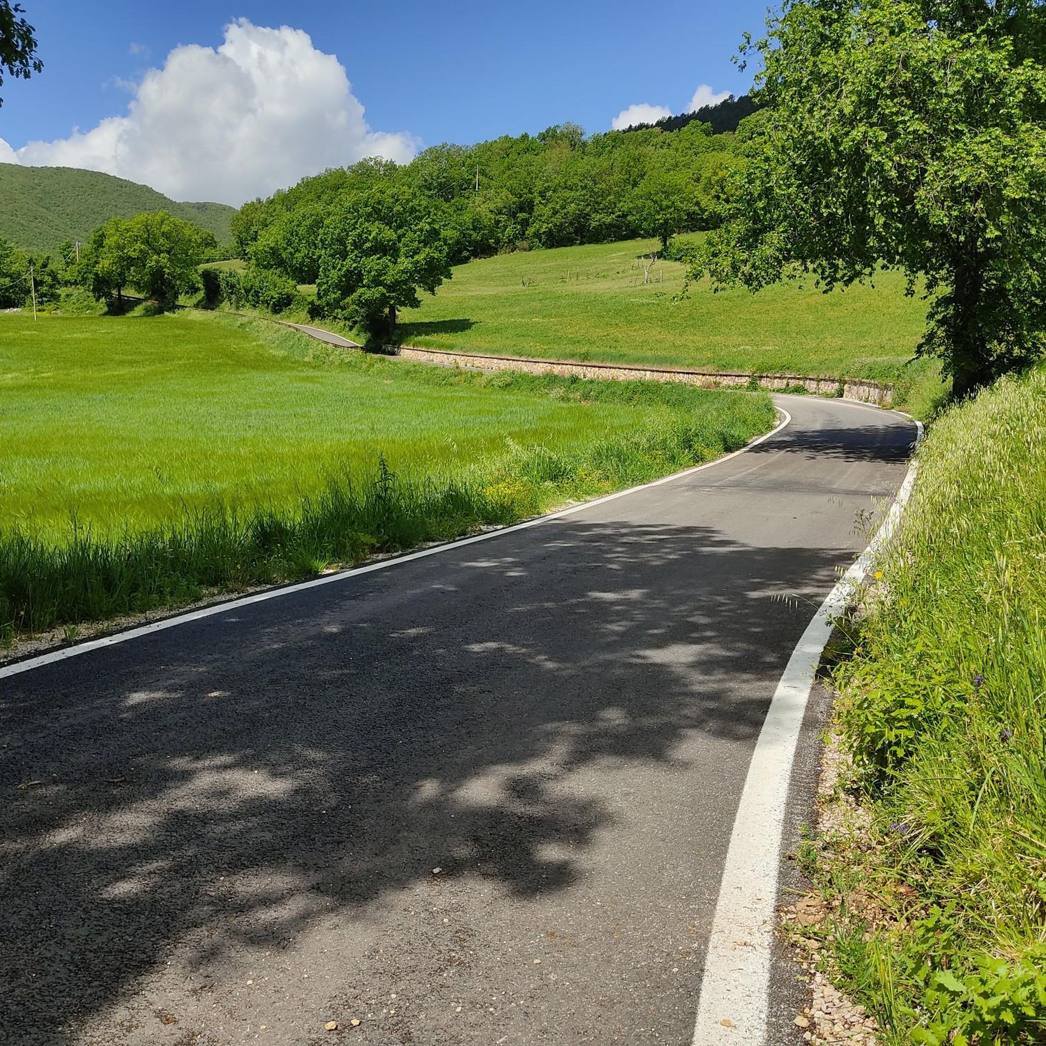
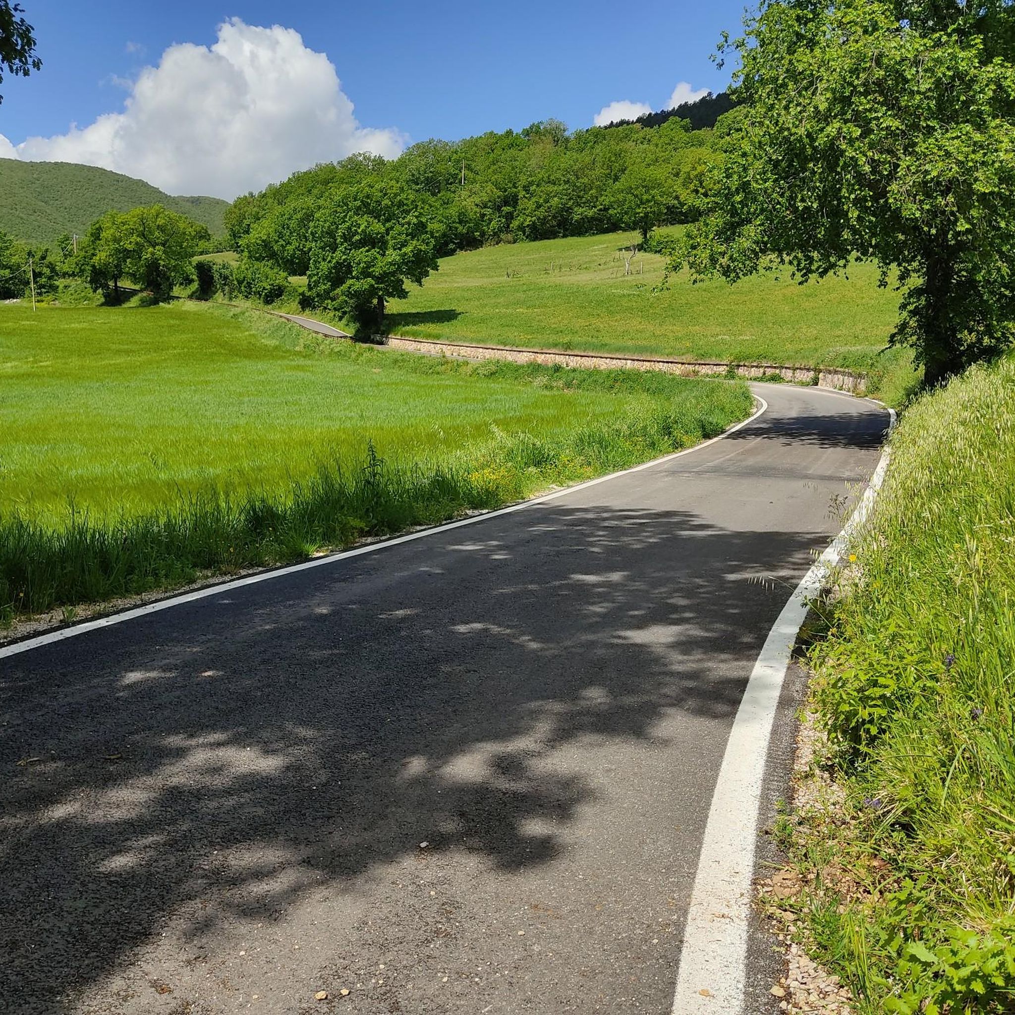
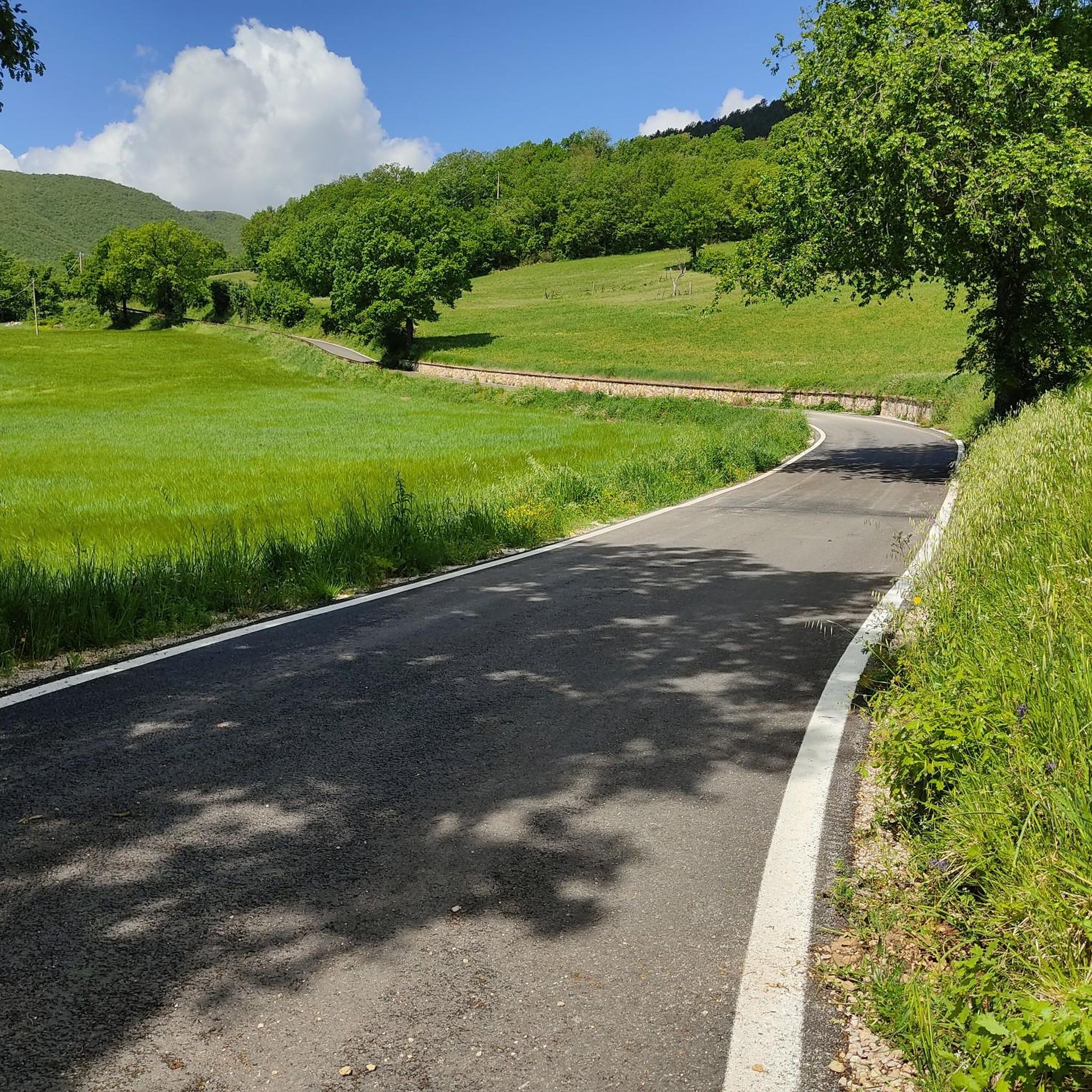
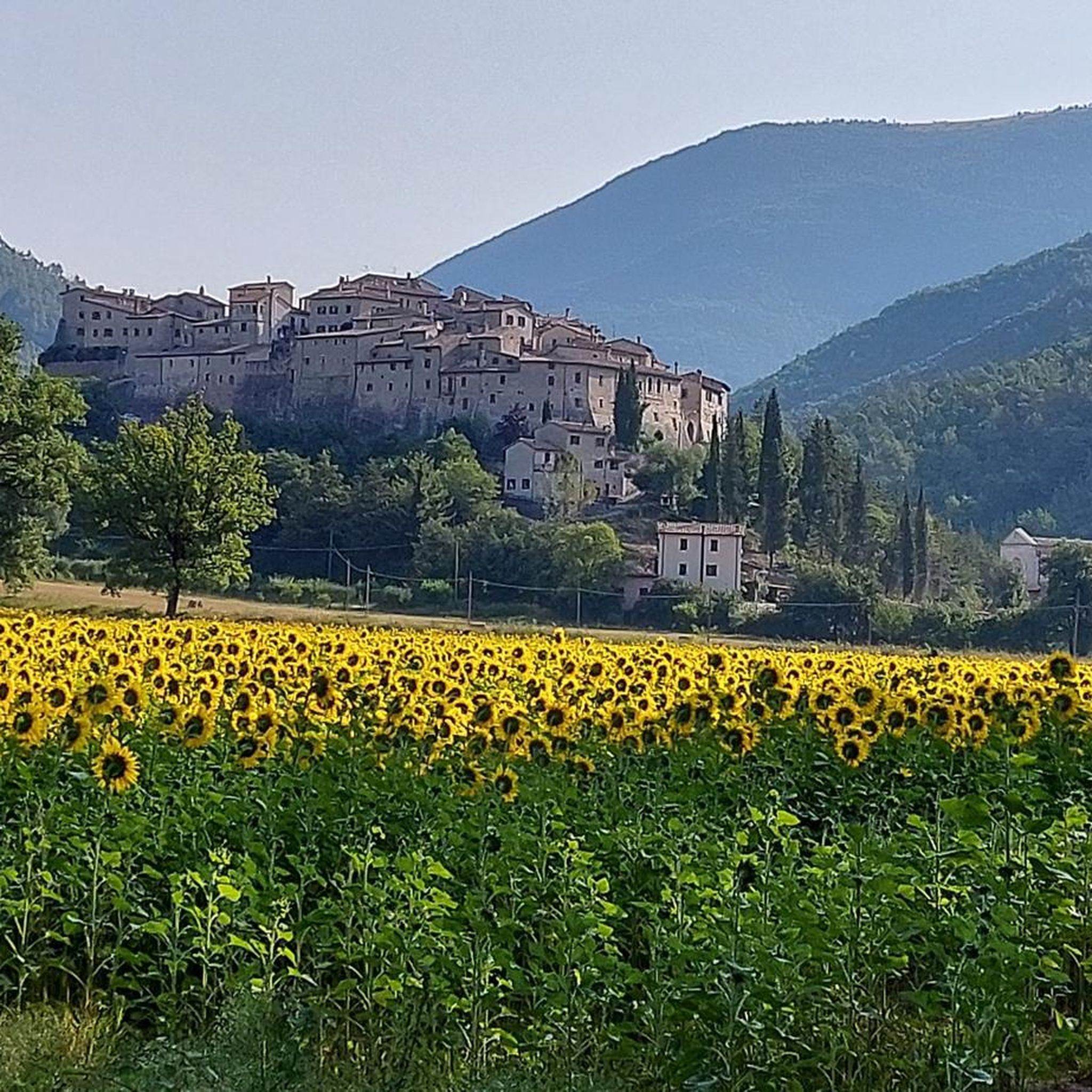

Tips from the Community

Abbey of Saints Felix and Maurus
0
0

They call it the Gotthard of Umbria; and rightly so!
0
0

Here the train went through a series of hairpin bends and tunnels downhill... pleasant to travel on gravel.
0
0
Fascinating at least up to Borgo Cerreto towards Norcia.
0
3
The highest viaduct overlooking the Umbrian Valley.
0
0
From here it is possible to bypass the tunnel of the same name by taking the SR 595
0
0
Frequently Asked Questions
How many hiking trails are available in Sant'Anatolia Di Narco?
There are over 115 hiking routes around Sant'Anatolia Di Narco, offering a wide range of options for different skill levels and preferences. The komoot community has rated these trails highly, with an average score of 4.38 stars.
Are there easy hiking trails suitable for beginners or casual walkers?
Yes, Sant'Anatolia Di Narco offers a good selection of easy trails. You can find over 30 routes classified as easy, perfect for a relaxed stroll through the scenic landscape. These often follow gentler paths along river valleys or through historic villages.
What kind of terrain can I expect on hikes around Sant'Anatolia Di Narco?
The terrain around Sant'Anatolia Di Narco is quite varied. You'll encounter paths along river valleys, sections of old railway lines converted into trails, and ascents towards hills like Monte Coscerno. The landscape features a mix of natural beauty and historical elements, including viaducts and tunnels.
Are there any challenging hikes for experienced trekkers?
Absolutely. For those seeking a more strenuous adventure, there are over 20 difficult routes available. An example is the Cortaccione Viaduct and Tunnel – View of the Caprareccia Bridge loop from Ex casello Matrignano, which covers 28.2 km and involves significant elevation changes.
Can I find trails with historical landmarks or interesting sights?
Yes, the region is rich in historical and architectural points of interest. Many trails incorporate elements like old railway lines, viaducts, and tunnels. You might also encounter highlights such as the Caprareccia Station or sections of the historic Spoleto-Norcia Railway. The Eremo di Sant'Antonio – Vallo di Nera Historic Village loop from Sant'Anatolia di Narco is a great option for cultural insights.
Are there any circular hiking routes?
Yes, many of the trails around Sant'Anatolia Di Narco are circular, allowing you to start and end at the same point. For instance, the View of Monte Coscerno loop from Gavelli is a popular moderate circular route offering expansive views.
What is the typical duration of hikes in this area?
Hikes vary greatly in duration. Shorter, easy walks might take a couple of hours, while longer, more challenging routes can extend to a full day. For example, the Capareccia Tunnel – Spoleto–Norcia Railway Trail loop from Sant'Anatolia di Narco is a moderate 11.8 km trail that typically takes around 3 hours 30 minutes.
Are the trails around Sant'Anatolia Di Narco suitable for families with children?
Many of the easier trails are suitable for families. Look for routes with lower elevation gain and shorter distances, often found along the river valleys or converted railway paths, which provide a safe and enjoyable experience for all ages.
When is the best time of year to go hiking in Sant'Anatolia Di Narco?
The best seasons for hiking in Sant'Anatolia Di Narco are generally spring (April-June) and autumn (September-October). During these months, the weather is typically mild and pleasant, and the landscape is particularly beautiful with blooming flowers or vibrant fall foliage. Summer can be hot, especially in July and August, while winter can bring colder temperatures and occasional snow at higher elevations.
Are there trails that offer panoramic viewpoints?
Yes, several routes provide stunning panoramic views of the surrounding valleys and hills. The View of Monte Coscerno loop from Gavelli is specifically known for its expansive vistas of Monte Coscerno and the Umbrian landscape.
What do other hikers say about the trails in Sant'Anatolia Di Narco?
The komoot community highly rates the trails in Sant'Anatolia Di Narco, with an average score of 4.38 stars from over 500 reviews. Hikers often praise the diverse landscape, the well-preserved historical elements like old railway tunnels, and the peaceful atmosphere of the Umbrian countryside.
Most popular routes around Sant'Anatolia Di Narco
Most popular attractions around Sant'Anatolia Di Narco

Get inspired with the komoot mobile app


Explore more
Browse the best Hikes in other regions.
