The best road cycling routes around Amatrice
4.4
(60)
1,309
riders
33
rides
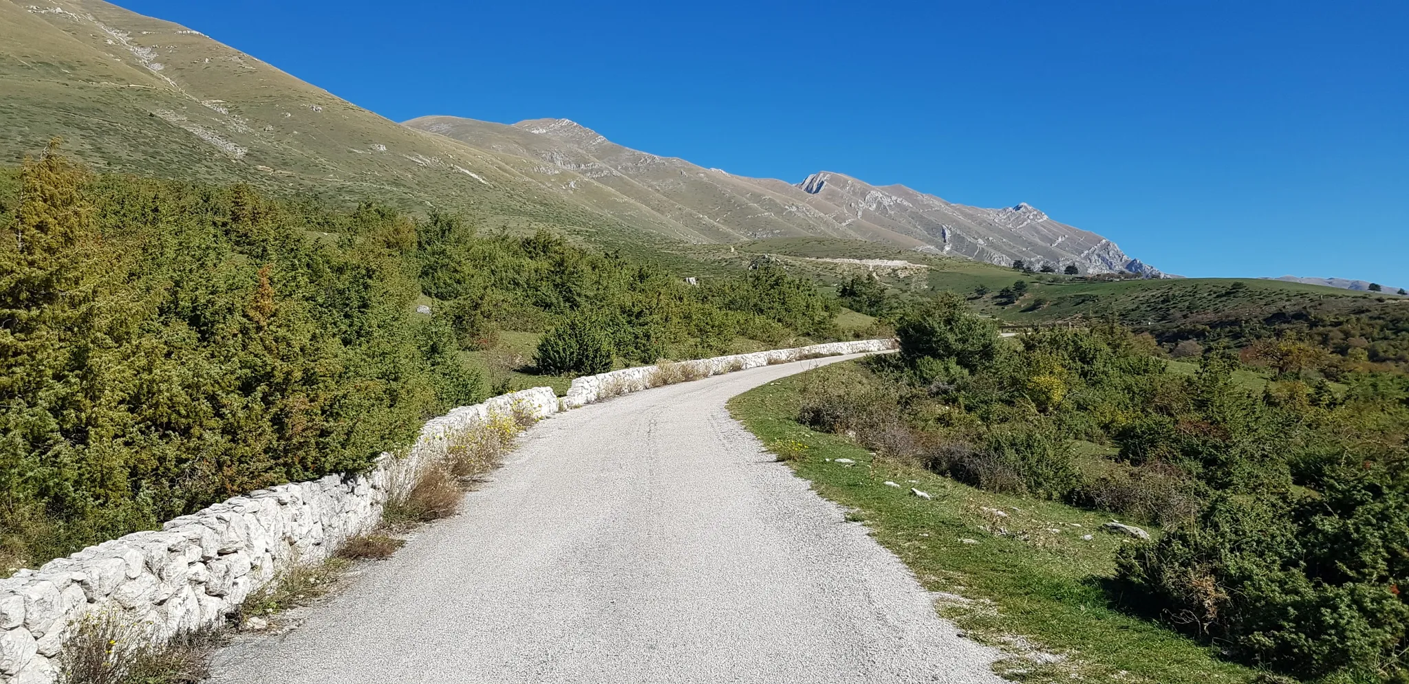
Road cycling routes around Amatrice traverse a diverse natural landscape within the Laga Mountains. The region features elevations ranging from 900 to over 2,000 meters, providing varied terrain for cyclists. This mountainous environment is characterized by verdant forests and offers a network of paths suitable for road cycling. The area's topography includes challenging climbs and routes through natural settings.
Best road cycling routes around Amatrice
- The most popular road cycling route is Ascent to Campotosto from Amatrice, a 30.8…
Last updated: October 14, 2026
12
riders
49.5km
02:35
880m
880m
Moderate road ride. Good fitness required. Mostly well-paved surfaces and easy to ride.
4.7
(7)
171
riders
97.2km
04:38
1,350m
1,350m
Hard road ride. Very good fitness required. Mostly well-paved surfaces and easy to ride.

3.5
(2)
60
riders
109km
05:14
1,490m
1,490m
Hard road ride. Very good fitness required. Mostly well-paved surfaces and easy to ride.
4.0
(2)
58
riders
140km
06:58
2,270m
2,270m
Hard road ride. Very good fitness required. Mostly well-paved surfaces and easy to ride.
24
riders
108km
05:50
2,210m
2,210m
Hard road ride. Very good fitness required. Mostly well-paved surfaces and easy to ride.
Get access to more routes and recommendations from other explorers.
Already have an account?
Our route recommendations are based on thousands of hikes, rides, and runs completed by other people on komoot.
Start today with a free account
Your next adventure awaits.
Popular around Amatrice
The Apennine Cycleway (Part 2) - From Umbria to Calabria
Natural Park Walk – part 4 from Accumoli to L'Aquila
The Sibillini Mountains to Gran Sasso – the Great Apennine Crossing
A journey through changed lands – Cammino nelle Terre Mutate
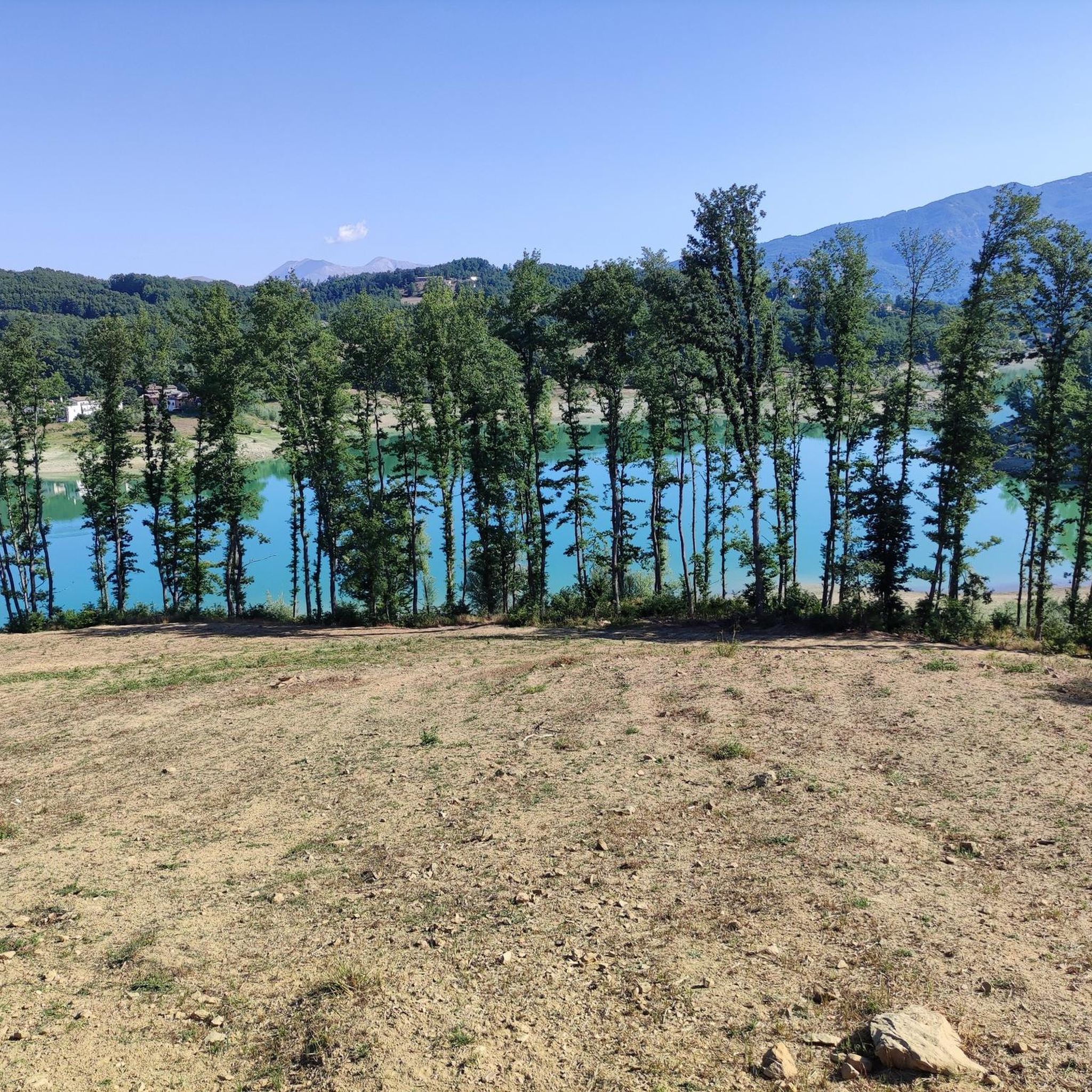
Running Trails around Amatrice
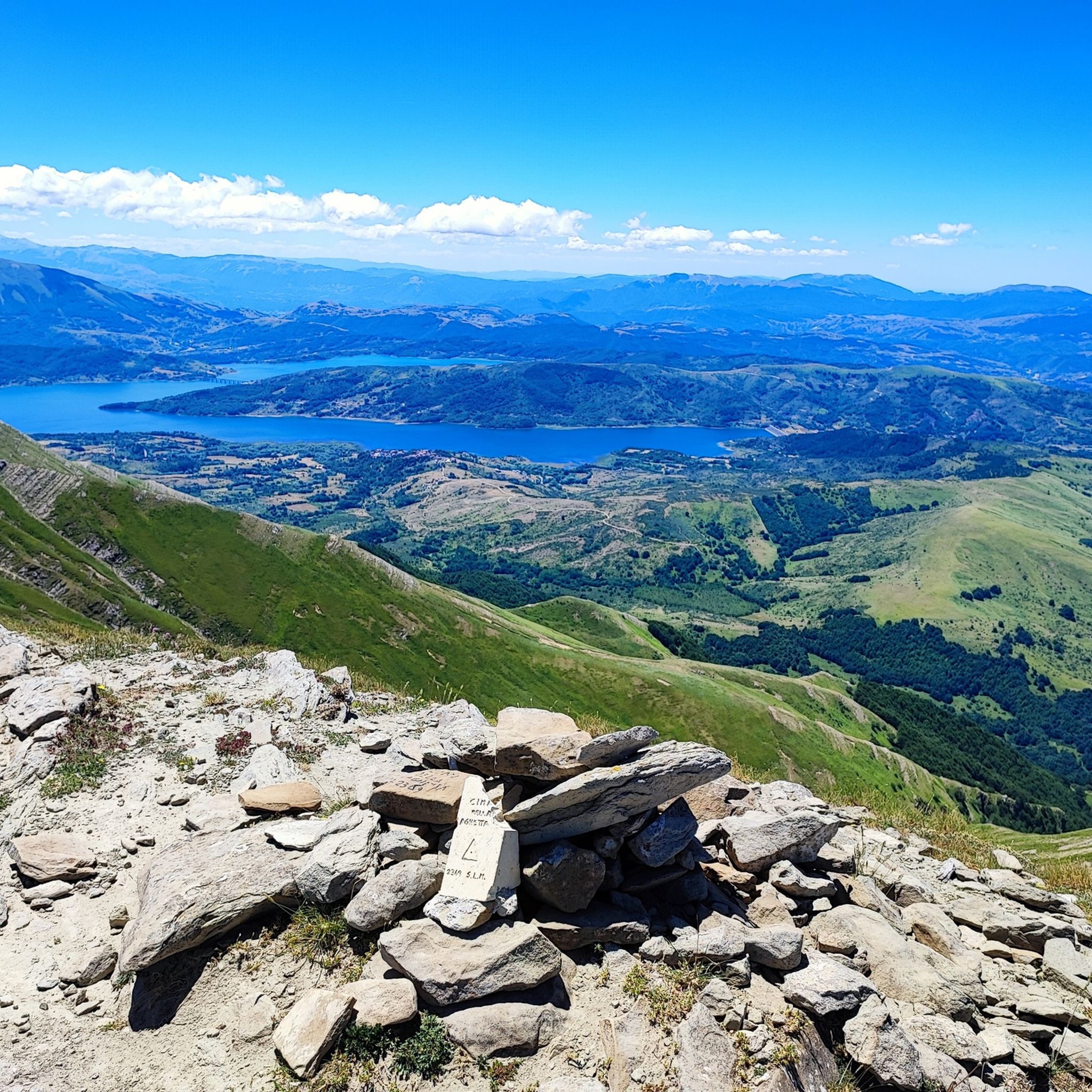
Hiking around Amatrice
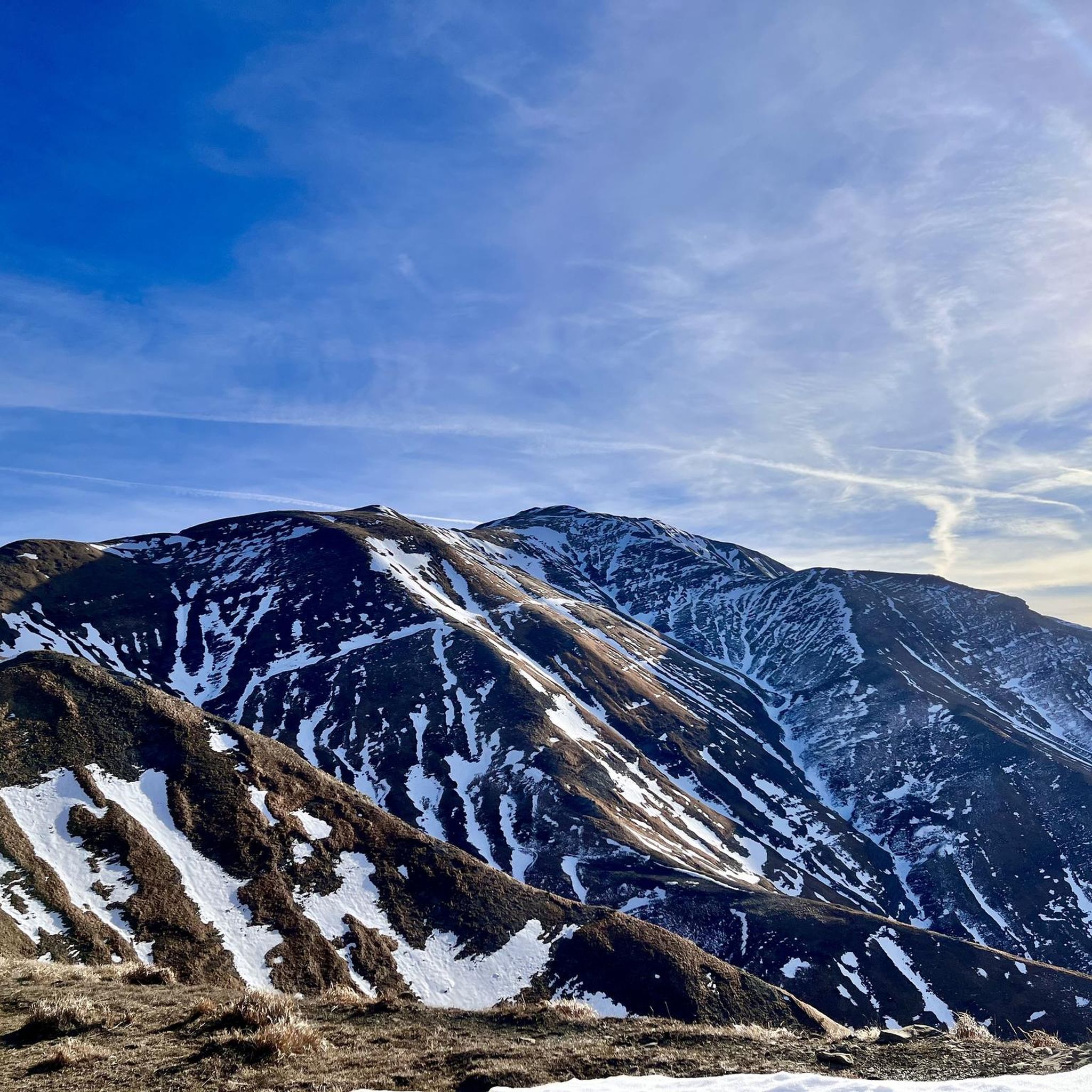
MTB Trails around Amatrice
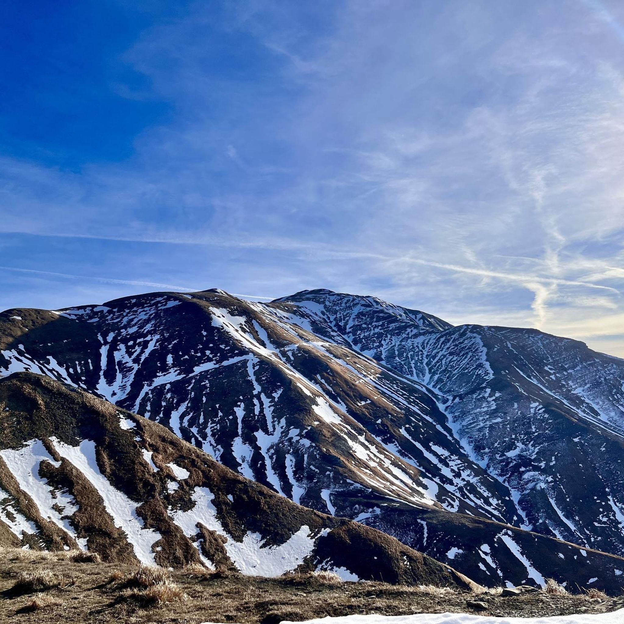
Cycling around Amatrice
Other adventures around Amatrice


Tips from the Community

Ascending from the Pian Grande along the road toward the Forca Canapine pass, you're captivated by the wonder of the surroundings. The atmosphere is heavenly. Perhaps the time of year chosen for this tour was fortunate, as the melting snow on the plain has formed small lakes that contribute to making everything even more beautiful.
0
0
Climbing from the Pian Grande towards Forche Camapine, our gaze is captured by what appears around 360° in this plateau with a unique morphology, it seems to be in an earthly paradise. In this period I found natural lakes formed by the melting snow on the plain that create new landscapes... How lucky to have been there right at the end of February
0
0

sustained 10% climbing but lovely quite roads with little traffic
0
0

A border crossing in the province of L'Aquila located 1,300 meters above sea level to cross the Gran Sasso mountain range via state road 80, which connects the provinces of Teramo and L'Aquila.
0
0

cuz b or ii b ii on ii or on k jo or on b or ird ii on iii or ok ok ii in ii
0
0

Very fast descent, excellent bottom
0
0

silence, something we sometimes need
0
0
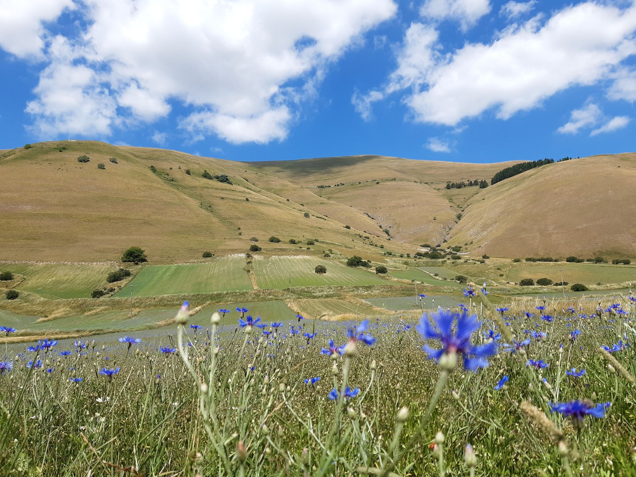
Umbrian-Marche show, among lentils and wheat
0
0
Frequently Asked Questions
What kind of terrain can I expect on road cycling routes around Amatrice?
Road cycling around Amatrice offers a diverse and challenging terrain, primarily defined by the Laga Mountains. You'll encounter significant elevation changes, with routes ranging from 900 to over 2,000 meters. This mountainous environment features verdant forests and a network of paths suitable for various skill levels, from moderate climbs to more demanding ascents.
Are there road cycling routes suitable for beginners in Amatrice?
While many routes in Amatrice feature challenging climbs, there are options for varying ability levels. The region offers routes categorized as easy, moderate, and difficult. For specific beginner-friendly recommendations, it's best to check individual route details on komoot, as the overall terrain is mountainous.
What are some notable natural features or landmarks I can see while cycling in Amatrice?
The Amatrice region is rich in natural beauty. Many routes offer views of the Laga Mountains and pass through lush forests. A prominent feature is Lake Campotosto, which several routes circle or ascend towards. You can also find highlights like the Stecca Bridge on Lake Campotosto, the Lake Campotosto itself, and the Forest of Twisted Beeches. For panoramic views, consider the Belvedere Hut and Panoramic Platform.
Are there any loop road cycling routes around Amatrice?
Yes, Amatrice offers several excellent loop routes. A popular choice is the Lake Campotosto – Lake Campotosto loop from Amatrice, a challenging 60.2-mile (96.8 km) path. Another option is the Lake Campotosto – Lake Campotosto loop from Retrosi, which is 36.1 miles (58.1 km) long.
What do other road cyclists say about the routes in Amatrice?
The road cycling routes in Amatrice are highly regarded by the komoot community, with an average rating of 4.7 stars from over 30 reviews. Cyclists often praise the varied terrain, the challenging climbs, and the extensive views of the surrounding landscape, particularly around Lake Campotosto.
What is the best time of year for road cycling in Amatrice?
Given the mountainous terrain and elevations up to 2,000 meters, the best time for road cycling in Amatrice is generally during the warmer months, from late spring through early autumn. This period offers more stable weather conditions and avoids the challenges of winter snow or ice at higher altitudes.
Are there any long-distance or challenging road cycling routes in the Amatrice area?
Absolutely. For experienced cyclists seeking a challenge, routes like the Forca di Presta – View of the Castelluccio Plain loop from Cittareale cover over 100 km with significant elevation gain. The Amiternum Roman Amphitheater – Amiternum Amphitheatre loop from Collemoresco is another difficult route of similar length and elevation.
Can I find cafes or places to stop for refreshments along the road cycling routes?
While specific cafes directly on every route are not detailed, the region's natural beauty and smaller towns suggest opportunities for stops. It's advisable to plan your route and check for amenities in towns like Amatrice or near Lake Campotosto, especially for longer rides, to ensure you have refreshment points.
Is there public transport available for cyclists in Amatrice?
Information on specific public transport options for cyclists in Amatrice is limited. Given the rural and mountainous nature of the region, public transport might be less frequent or not always equipped to carry bicycles. It's recommended to check local transport schedules and policies if you plan to combine cycling with public transport.
Where can I find parking for road cycling routes near Amatrice?
Parking availability will vary depending on your chosen starting point. For routes beginning directly in Amatrice or other towns like Retrosi or Cittareale, you can typically find parking in or near the village centers. For routes starting at specific trailheads, look for designated parking areas, though these may be less common in more remote mountainous regions.
Are there any specific attractions or points of interest near the road cycling routes?
Beyond the natural landscapes, you can explore cultural and historical points of interest. The Amatrice Historic Center offers a glimpse into the town's past. Other nearby attractions include the Alpine Chapel of Capitignano. These can be integrated into your cycling itinerary for a richer experience.
Most popular routes around Amatrice
Most popular attractions around Amatrice

Get inspired with the komoot mobile app


Explore more
Browse the best Road cycling routes in other regions.
