The best road cycling routes around Campotosto
4.4
(31)
1,058
riders
23
rides
Road cycling around Campotosto is characterized by its vast artificial lake, Lago di Campotosto, situated at 1,313 meters above sea level, and the surrounding Gran Sasso and Monti della Laga National Park. The region features expansive meadows, dense woods, and views of the Gran Sasso massif and Laga peaks. Road cycling routes include circular paths around the lake with gentle slopes, as well as challenging mountain climbs like the ascent to Campo Imperatore and the Capannelle Pass. The terrain offers…
Last updated: July 8, 2026
15
riders
50.7km
02:48
1,020m
1,020m
Hard road ride. Very good fitness required. Some segments of this route may be unpaved and difficult to ride.
7
riders
51.6km
03:27
1,660m
1,660m
Hard road ride. Very good fitness required. Some segments of this route may be unpaved and difficult to ride.

Sign up for free
4.8
(4)
164
riders
97.2km
04:38
1,350m
1,350m
Hard road ride. Very good fitness required. Mostly well-paved surfaces and easy to ride.
4.8
(9)
143
riders
57.8km
02:42
730m
730m
Moderate road ride. Good fitness required. Mostly well-paved surfaces and easy to ride.
4.0
(1)
43
riders
28.4km
01:15
280m
280m
Easy road ride. Great for any fitness level. Mostly well-paved surfaces and easy to ride.
Get access to more routes and recommendations from other explorers.
Sign up for free
Already have an account?
Our route recommendations are based on thousands of hikes, rides, and runs completed by other people on komoot.
Start today with a free account
Your next adventure awaits.
Login or Signup
Popular around Campotosto
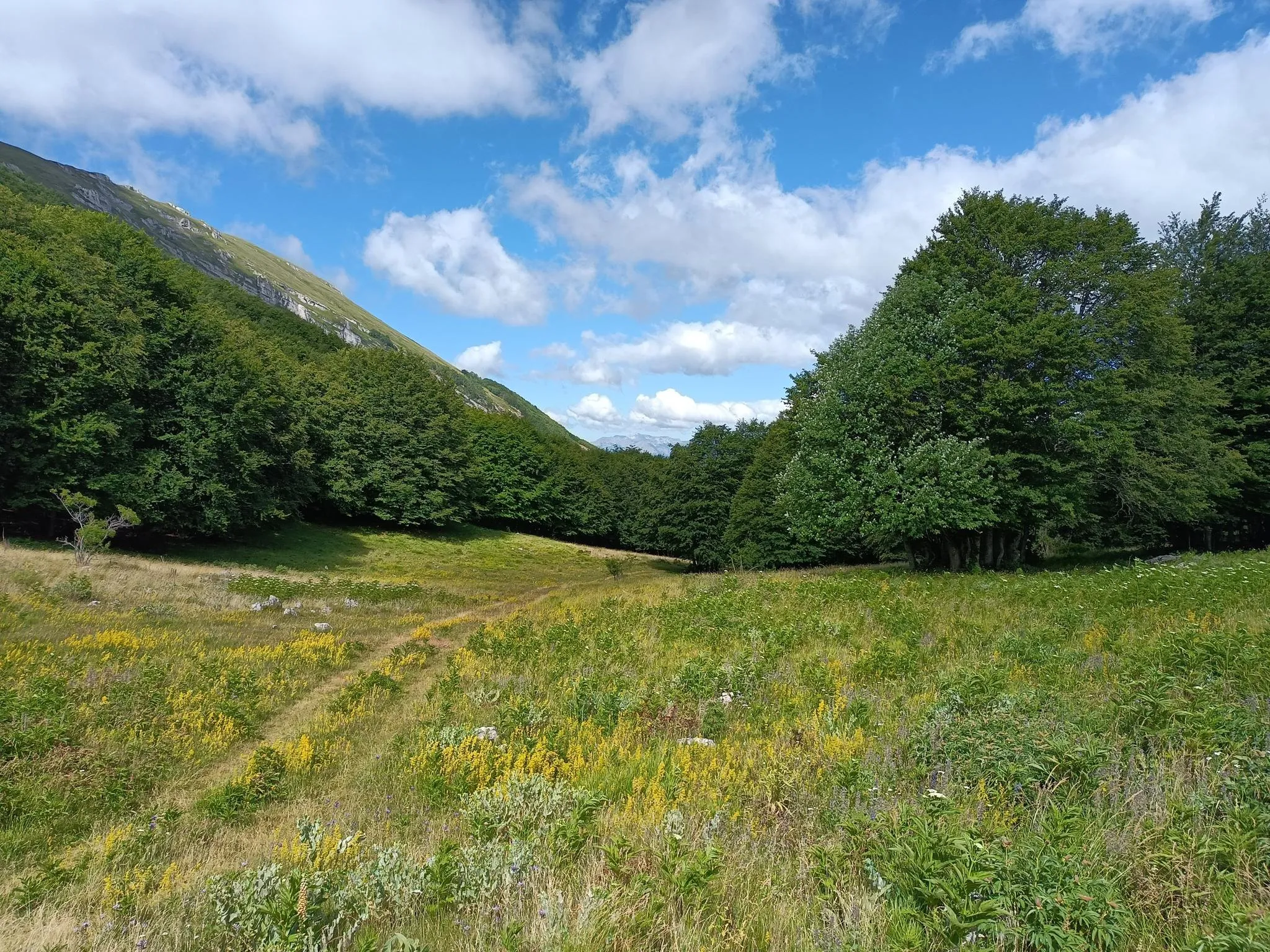
Natural Park Walk – part 4 from Accumoli to L'Aquila
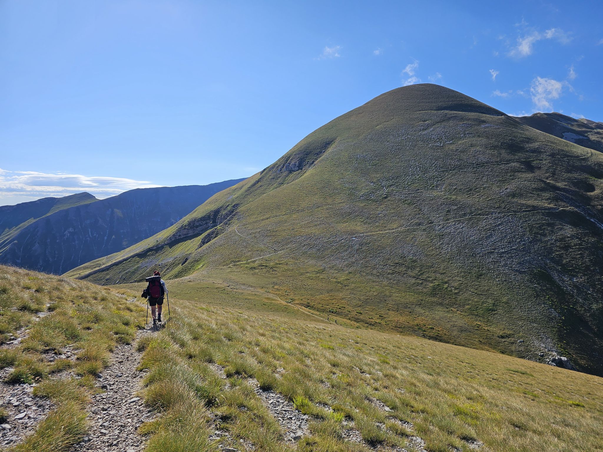
The Sibillini Mountains to Gran Sasso – the Great Apennine Crossing
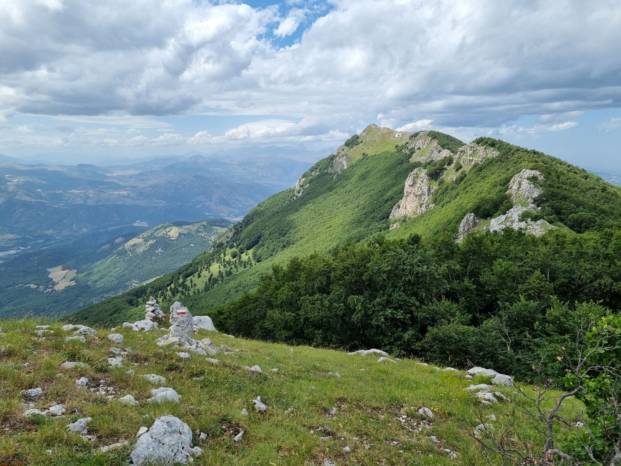
Through the green lungs of Abruzzo – Sentiero Italia
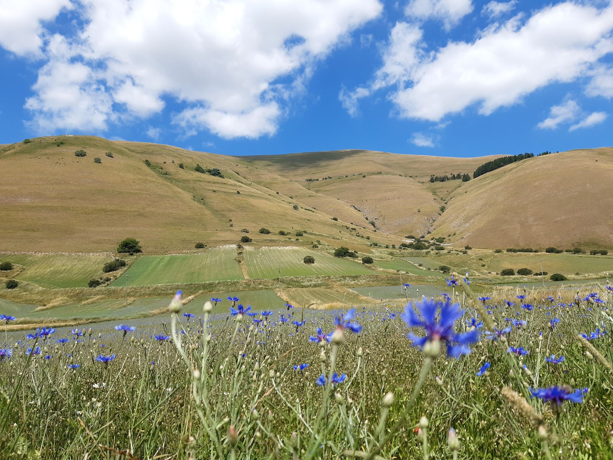
A journey through changed lands – Cammino nelle Terre Mutate
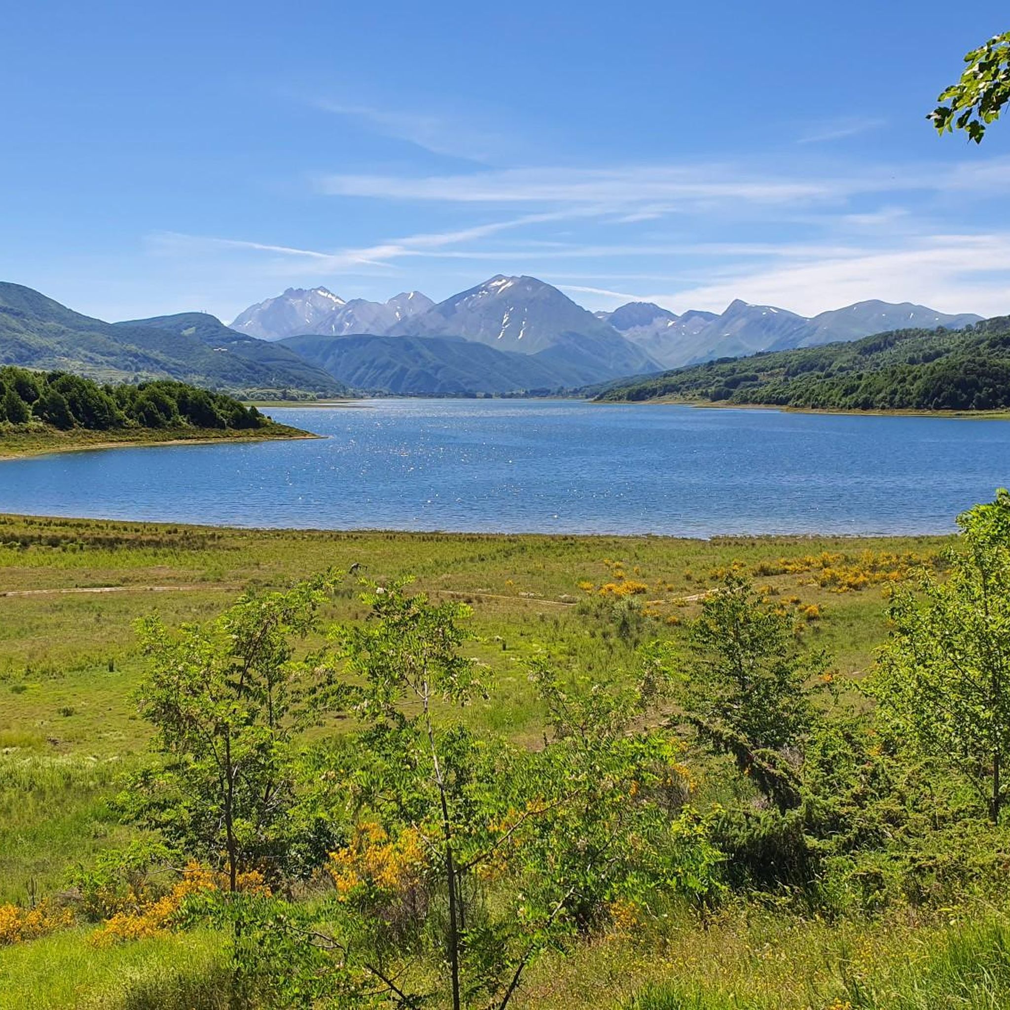
MTB Trails around Campotosto
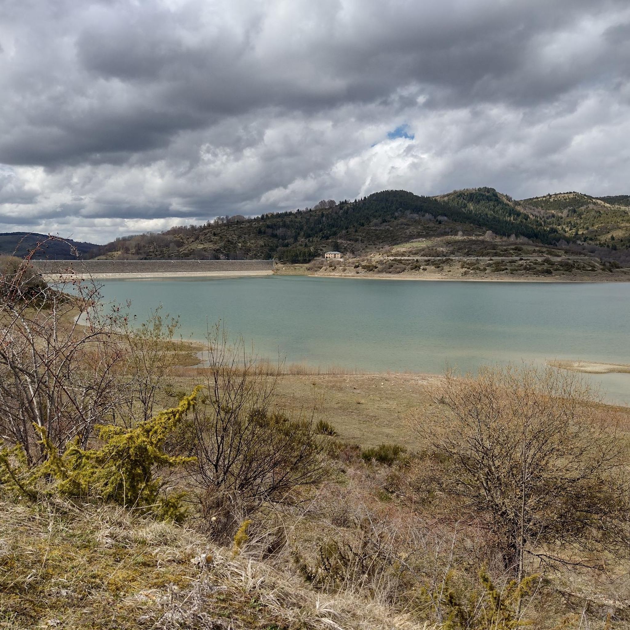
Hiking around Campotosto
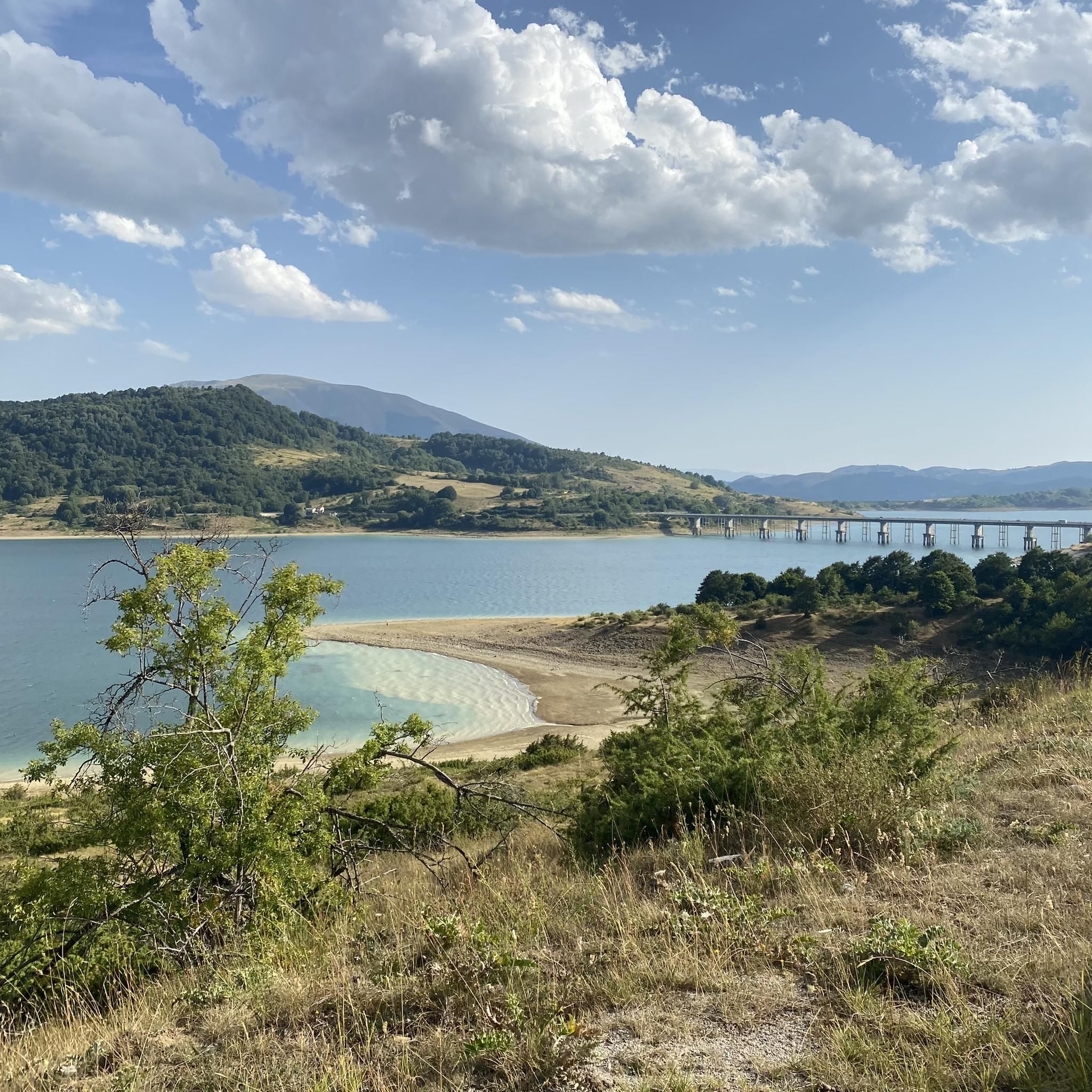
Running Trails around Campotosto
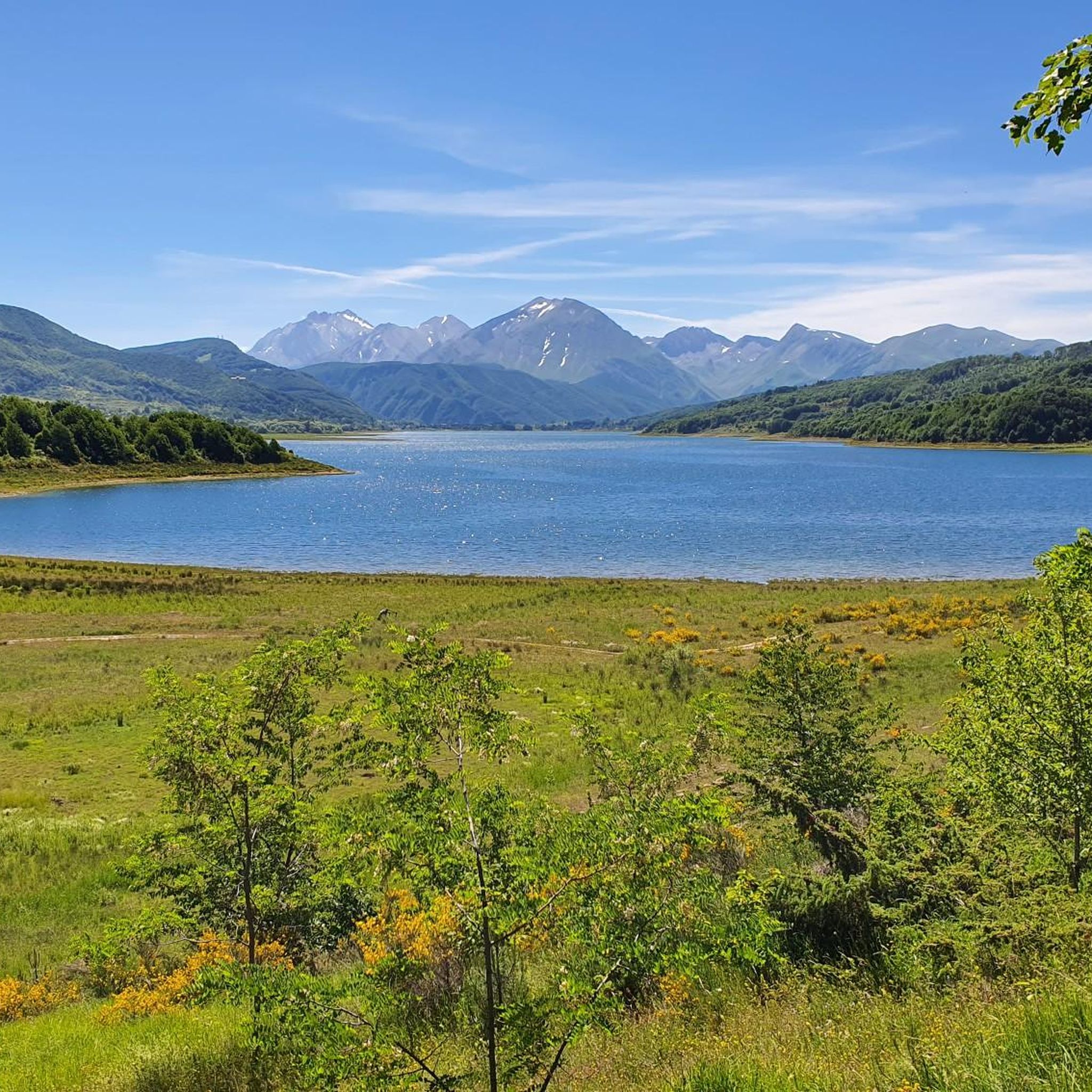
Cycling around Campotosto
Other adventures around Campotosto


Tips from the Community

A border crossing in the province of L'Aquila located 1,300 meters above sea level to cross the Gran Sasso mountain range via state road 80, which connects the provinces of Teramo and L'Aquila.
0
0


You can walk around the lake completely
9
0
A fountain for thirsty cyclists
7
0
Frequently Asked Questions
How many road cycling routes are available in Campotosto?
There are over 25 road cycling routes around Campotosto, catering to various skill levels. You'll find a mix of easy, moderate, and difficult options to explore the region's diverse landscapes.
What kind of terrain can I expect on road cycling routes around Campotosto?
The terrain around Campotosto offers a mix of experiences. Many routes feature predominantly paved roads with gentle slopes, especially around the lake. For those seeking more challenge, the region includes significant mountain climbs like the ascent to Campo Imperatore and the Capannelle Pass, providing considerable elevation changes and demanding sections.
Are there any easy road cycling routes suitable for beginners or families?
Yes, Campotosto offers several easy road cycling routes. For instance, the Lake Campotosto – Lake Campotosto loop from Campotosto is a 17.6-mile (28.4 km) trail that is relatively flat or features gentle slopes, making it suitable for a more relaxed ride.
Where can I find challenging road cycling routes in the Campotosto area?
For experienced cyclists seeking a challenge, routes like the Tour of Lake Campotosto and the Devil's Pass – Ring Tour offer significant elevation gain over 31.5 miles (50.7 km). Other demanding options include ascents to Campo Imperatore and the Capannelle Pass, known for their strenuous climbs and spectacular views.
What are the best times of year for road cycling in Campotosto?
The best time for road cycling in Campotosto is generally during the warmer months, from late spring to early autumn. This period offers pleasant temperatures and allows for full enjoyment of the lake and mountain views. The region's rich vegetation displays a spectrum of colors, making for scenic rides.
Are there circular road cycling routes around Lake Campotosto?
Yes, a major highlight for road cyclists is the circular route around Lake Campotosto. These loops, such as the Lake Campotosto – Lake Campotosto loop from Diga di Sella Pedicate, span approximately 24 miles (38.5 km) and offer stunning views of the lake and surrounding mountains.
What natural features or landmarks can I see while cycling around Campotosto?
While cycling, you'll be treated to breathtaking panoramic views of the Gran Sasso massif, including Corno Grande, and the picturesque Laga peaks. The vast Lago di Campotosto itself is a central feature, embraced by rich vegetation, expansive meadows, and dense woods. You can also spot various mountain peaks like Monte Gorzano summit or Monte di Mezzo summit in the distance.
Are there good parking options for cyclists near the routes?
While specific parking areas for cyclists are not detailed, Campotosto is a popular destination, and parking is generally available in and around the main villages like Campotosto and near the lake's access points, which serve as common starting points for cycling routes.
Can I access road cycling routes in Campotosto using public transport?
Public transport options directly to the trailheads around Campotosto can be limited, especially for carrying bicycles. It's advisable to check local bus schedules or consider driving to the starting points, particularly if you're bringing your own bike.
What do other cyclists say about road cycling in Campotosto?
The road cycling routes in Campotosto are highly rated by the komoot community, with an average score of 4.5 stars from over 30 reviews. Cyclists often praise the stunning views of the lake and mountains, the quiet roads, and the variety of routes suitable for different skill levels.
Are there any specific permits required for cycling in the Gran Sasso and Monti della Laga National Park?
Generally, no specific permits are required for road cycling on public roads within the Gran Sasso and Monti della Laga National Park. However, always respect park regulations, stay on designated routes, and be mindful of wildlife and protected areas. For detailed information on park rules, you may consult the official park website.
Are there places to stop for refreshments or food along the road cycling routes?
Yes, the villages around Lake Campotosto, such as Campotosto itself, offer cafes and restaurants where you can stop for refreshments and local cuisine. These spots are ideal for a break during your ride, allowing you to taste traditional dishes and products like the distinctive Campotosto "mortadella".
Are dogs allowed on the cycling routes around Campotosto?
While the region is part of a national park, specific regulations regarding dogs on cycling routes are not explicitly detailed. Generally, dogs are allowed in many outdoor areas on a leash. However, it's always best to check with local authorities or park information centers for the most current rules, especially within protected natural reserves.
Most popular attractions around Campotosto

Get inspired with the komoot mobile app


Explore more
Browse the best Road cycling routes in other regions.
