The best road cycling routes around Colledara
4.7
(61)
1,706
riders
81
rides
Road cycling routes around Colledara are characterized by mountainous terrain with significant elevation changes, offering challenging climbs and descents. The region features a mix of villages, high-altitude plains like Campo Imperatore, and natural features such as fountains and passes. Road cyclists can expect routes that navigate through varied landscapes, from valley floors to higher elevations. The area provides a diverse environment for road cycling, with routes suitable for experienced riders.
Best road cycling routes around Colledara
- The most popular road…
Last updated: October 11, 2026
4.1
(8)
128
riders
97.1km
04:20
950m
950m
Hard road ride. Very good fitness required. Mostly well-paved surfaces and easy to ride.
60
riders
139km
07:38
2,980m
2,980m
Hard road ride. Very good fitness required. Mostly well-paved surfaces and easy to ride.

2.5
(2)
53
riders
84.5km
04:51
1,930m
1,930m
Hard road ride. Very good fitness required. Mostly well-paved surfaces and easy to ride.
5.0
(2)
31
riders
Hard road ride. Very good fitness required. Mostly well-paved surfaces and easy to ride.
16
riders
96.9km
04:40
1,330m
1,330m
Hard road ride. Very good fitness required. Mostly well-paved surfaces and easy to ride.
Get access to more routes and recommendations from other explorers.
Already have an account?
Our route recommendations are based on thousands of hikes, rides, and runs completed by other people on komoot.
Start today with a free account
Your next adventure awaits.
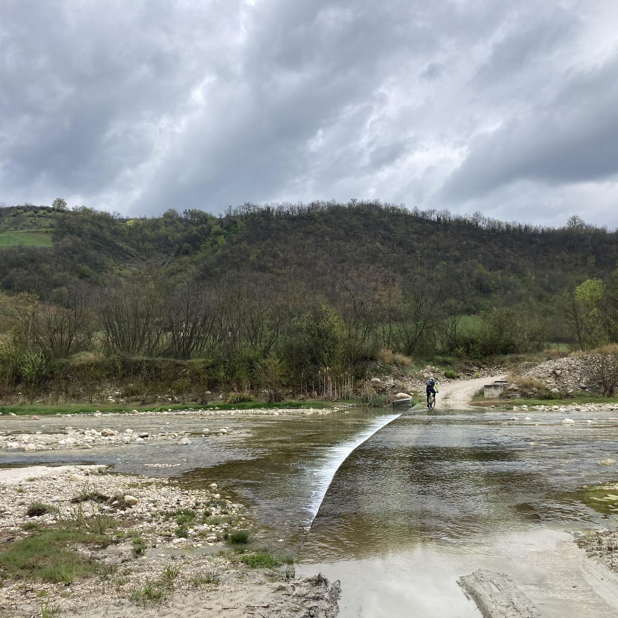
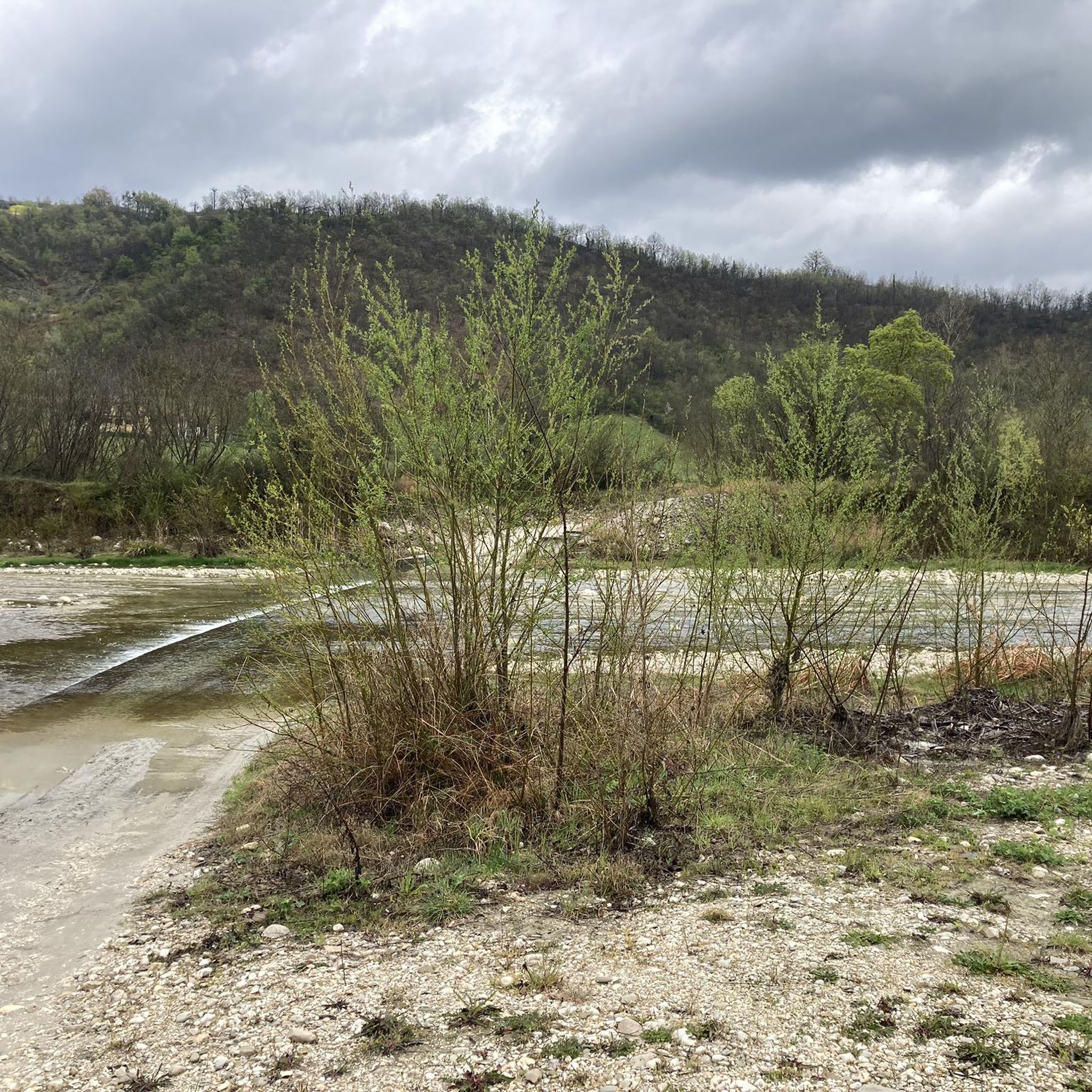
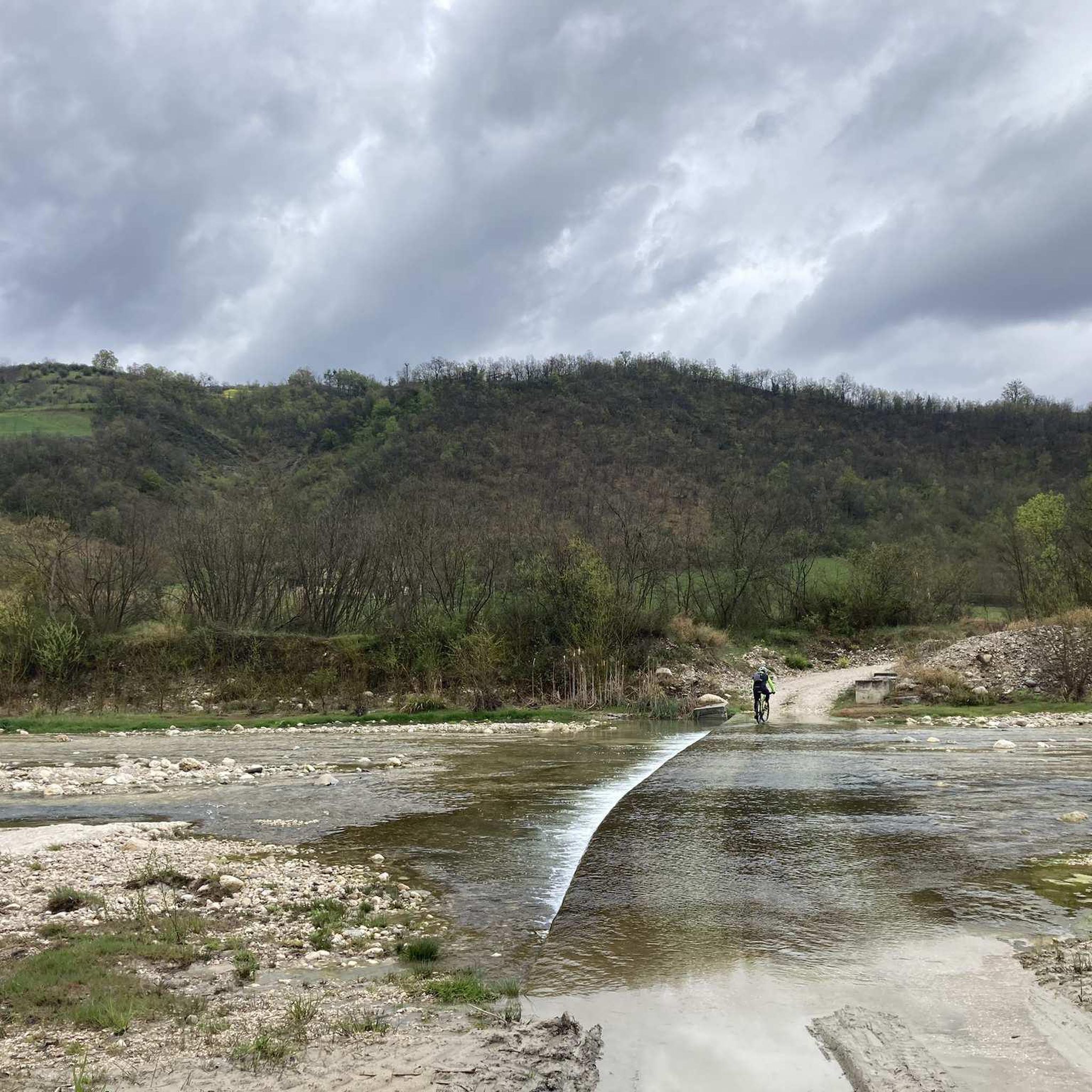
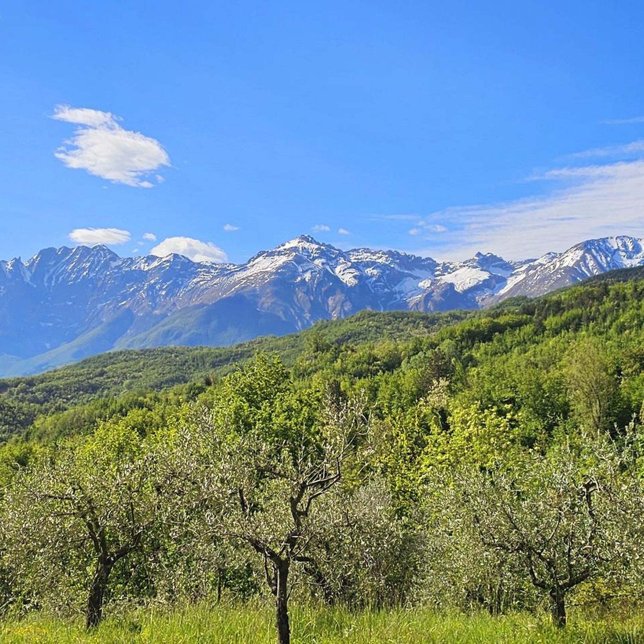
Tips from the Community

Panoramic view at the end of the climb!
0
0

The Apennines of central Italy are fabulous.
16
0

The artificial lake can be observed along the Gran Sasso state road 80 in the L'Aquila area.
0
0
A border crossing in the province of L'Aquila located 1,300 meters above sea level to cross the Gran Sasso mountain range via state road 80, which connects the provinces of Teramo and L'Aquila.
0
0

Last climb towards Campo Imperatore. The beauty of the view far outweighs the effort of the climb.
0
0

crossroads towards Campo Imperatore
0
0

Frequently Asked Questions
How many road cycling routes are available around Colledara?
There are over 80 road cycling routes around Colledara, offering a wide range of options for different skill levels, though the region is known for its challenging terrain.
What kind of terrain can I expect on road cycling routes in Colledara?
Road cycling routes in Colledara are characterized by mountainous terrain with significant elevation changes, including challenging climbs and descents. You'll navigate through charming villages, high-altitude plains like Campo Imperatore, and natural features such as fountains and mountain passes.
Are there road cycling routes suitable for beginners in Colledara?
While Colledara is known for its challenging routes, there are a few easier options available. For example, the Tossicia Village – Water Fountain in Tossicia loop from Isola del Gran Sasso d'Italia is a moderate route, covering about 42.6 km with around 713 meters of elevation gain, making it a good choice for those looking for a less demanding ride.
What are some challenging road cycling routes in the Colledara area?
Colledara offers numerous challenging routes. The View of Campo Imperatore – Maccione Pass loop from Tossicia is a difficult 139.2 km path with nearly 3,000 meters of elevation gain, offering extensive views across the Campo Imperatore plateau. Another demanding option is the Pietracamela Village – Prati di Tivo Fountain loop from Tossicia, which spans 117.3 km with over 3,190 meters of climbing.
What is the best time of year to go road cycling in Colledara?
Given the mountainous terrain and high-altitude plains like Campo Imperatore, the best time for road cycling in Colledara is typically from late spring through early autumn (May to October). During these months, the weather is generally more stable, and mountain passes are clear of snow, offering optimal conditions for challenging rides.
Are there any scenic viewpoints or landmarks along the road cycling routes?
Yes, the region offers stunning views. Many routes provide extensive views across the Campo Imperatore plateau. You might also encounter highlights such as the The Madonnina (Gran Sasso) viewpoint or pass by the Ruined hotel of Arapietra. The routes often lead through mountain villages and towards alpine fountains, providing picturesque scenery.
What do other road cyclists say about the routes in Colledara?
The road cycling routes in Colledara are highly rated by the komoot community, with an average score of 4.6 stars from over 75 reviews. Cyclists often praise the challenging climbs, the diverse landscapes ranging from valley floors to high elevations, and the scenic beauty of the mountain passes and villages.
Are there any loop trails for road cycling around Colledara?
Yes, many of the road cycling routes in Colledara are designed as loops. Examples include the popular Water Fountain in Tossicia – Tossicia Village loop from Tossicia, a 97 km route, and the Pietracamela Village – Prati di Tivo Fountain loop from Isola del Gran Sasso d'Italia, which is 91.4 km long.
What are the typical elevation gains on road cycling routes in Colledara?
Road cycling in Colledara is characterized by significant elevation gains due to the mountainous terrain. Even moderate routes can have over 700 meters of climbing, while difficult routes frequently feature 2,000 to 3,000 meters or more of elevation gain, such as the View of Campo Imperatore – Maccione Pass loop from Tossicia with nearly 3,000 meters of ascent.
Are there any cafes or places to stop for refreshments along the road cycling routes?
While specific cafes are not listed, many routes pass through charming villages. These villages often provide opportunities to stop for refreshments, water, or a meal, especially in areas like Tossicia or Isola del Gran Sasso d'Italia, which serve as starting points or pass-through locations for several routes.
What are some less crowded road cycling routes in the Colledara area?
While specific 'less crowded' routes are not explicitly identified, exploring routes that venture further into the Gran Sasso e Monti della Laga National Park, away from the most popular starting points, might offer a quieter experience. The region's extensive network of mountain roads means you can often find serene stretches, especially on weekdays or outside peak tourist season.
Is public transport available to access road cycling routes in Colledara?
Information on specific public transport links directly to route starting points is limited. Generally, in mountainous regions like Colledara, public transport options might be less frequent. It's advisable to check local bus schedules for connections to main towns like Tossicia or Isola del Gran Sasso d'Italia, from where many routes begin.
Where can I find parking for road cycling in Colledara?
Many road cycling routes start from or pass through towns and villages such as Tossicia or Isola del Gran Sasso d'Italia. These locations typically offer public parking areas suitable for cyclists. It's recommended to check local maps or use navigation apps to identify specific parking facilities near your chosen route's starting point.
Most popular attractions around Colledara

Get inspired with the komoot mobile app


Explore more
Browse the best Road cycling routes in other regions.
