The best road cycling routes around Posta
4.5
(27)
907
riders
33
rides
Road cycling around Posta features routes through the Apennine Mountains, offering challenging climbs and descents. The region is characterized by high mountain passes, deep valleys, and views of peaks like Terminillo. Lake Campotosto provides a scenic backdrop for some routes, while others traverse historic areas near Rieti. The terrain is predominantly hilly to mountainous, suitable for experienced road cyclists.
Best road cycling routes around Posta
- The most popular road cycling route is Pian de' Valli, Terminillo – City Walls of…
Last updated: October 11, 2026
4.0
(1)
120
riders
49.6km
03:09
1,440m
1,440m
Hard road ride. Very good fitness required. Mostly well-paved surfaces and easy to ride.
4.5
(4)
103
riders
61.4km
03:09
1,070m
1,070m
Hard road ride. Very good fitness required. Mostly well-paved surfaces and easy to ride.

4.0
(2)
27
riders
47.6km
03:04
1,420m
1,420m
Hard road ride. Very good fitness required. Mostly well-paved surfaces and easy to ride.
13
riders
57.8km
03:02
1,060m
1,060m
Hard road ride. Very good fitness required. Mostly well-paved surfaces and easy to ride.
16
riders
202km
10:07
3,250m
3,250m
Hard road ride. Very good fitness required. Mostly well-paved surfaces and easy to ride.
Get access to more routes and recommendations from other explorers.
Already have an account?
Our route recommendations are based on thousands of hikes, rides, and runs completed by other people on komoot.
Start today with a free account
Your next adventure awaits.
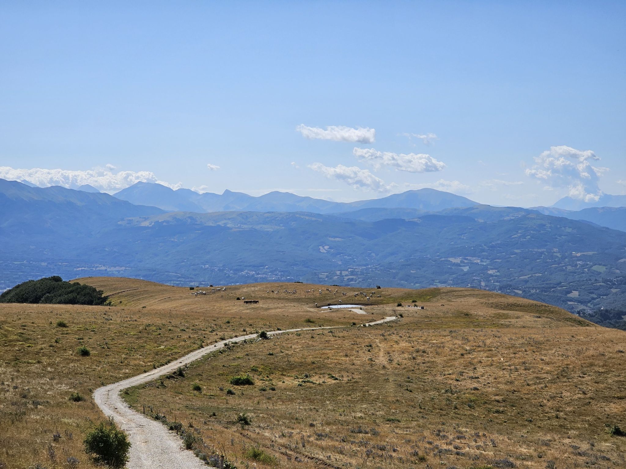
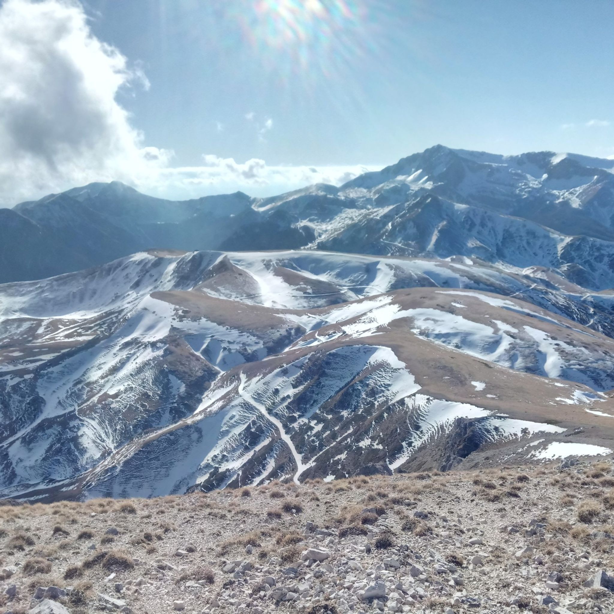
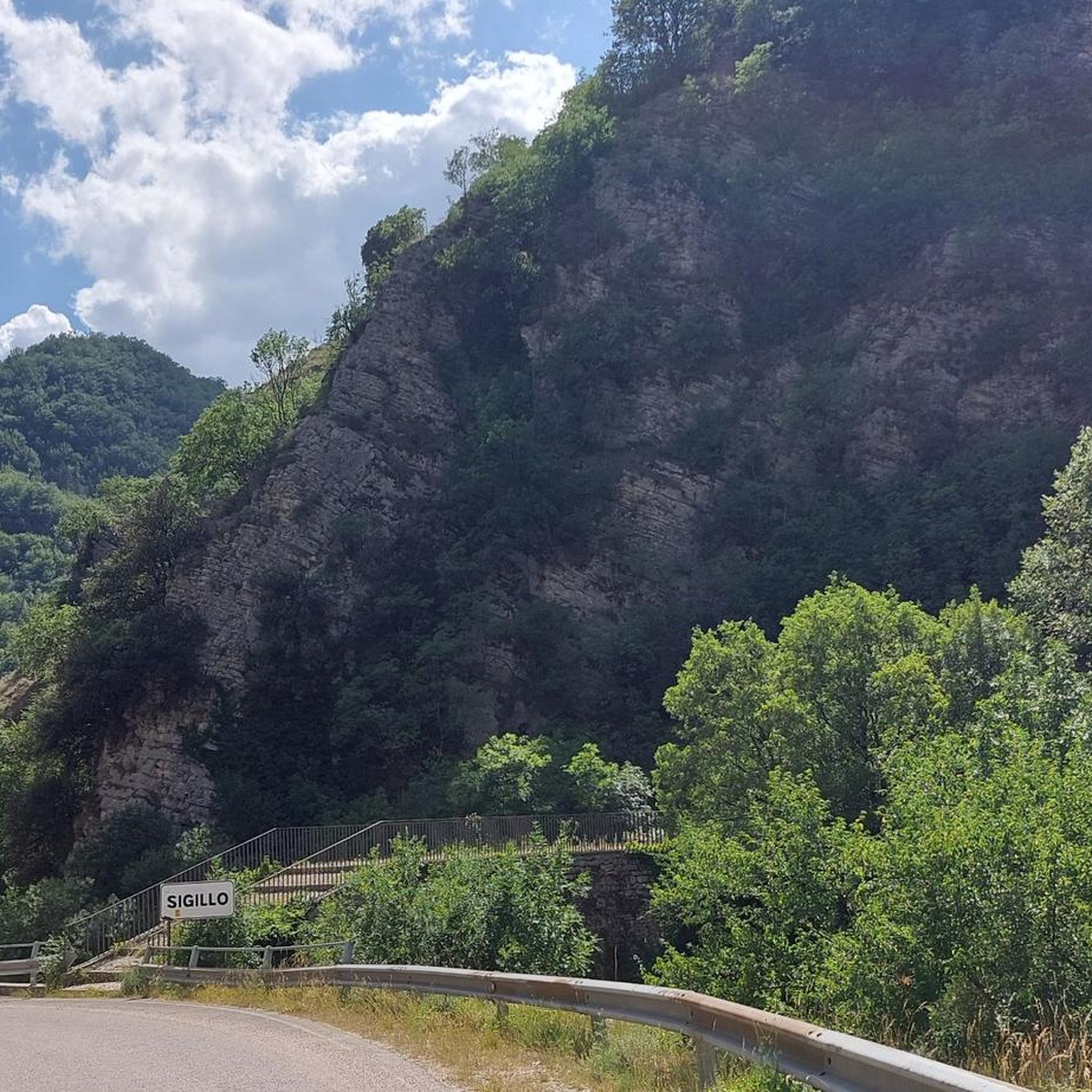
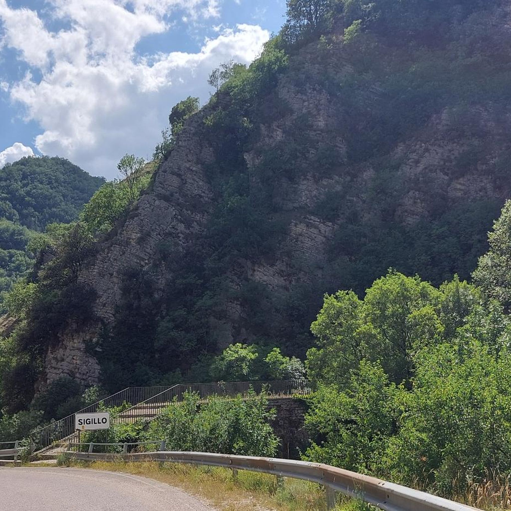
Other adventures around Posta

Tips from the Community

It is the main square where all (or almost all) roads lead
0
0

A climb that has little to envy of the Alpine passes. The Terminillo is majestic, tackled from the Leonessa side the ascent is at times harsh, the landscape changes several times during the climb, up to the last part that reveals the most mountainous landscapes. The descent towards Vezia is very long and quite challenging, but leaves the feeling of having done something truly beautiful for a cyclist. To be tried, if well trained
0
0

sustained 10% climbing but lovely quite roads with little traffic
0
0

A border crossing in the province of L'Aquila located 1,300 meters above sea level to cross the Gran Sasso mountain range via state road 80, which connects the provinces of Teramo and L'Aquila.
0
0

cuz b or ii b ii on ii or on k jo or on b or ird ii on iii or ok ok ii in ii
0
0
Small hamlet of the municipality of Rieti, located at 600 m above sea level on the slopes of the Terminillo mountain massif, along the Terminillese road that leads from Rieti to Terminillo. It is divided into two parts, the oldest, Lisciano Alto built around the parish church of Santa Maria del Soccorso dating back to the medieval period and the most recent located downstream from the old town
2
0
Church dating back to the first half of the 15th century, the façade stands out on the outside, framed by red L’Aquila stone and embellished by a rich late Gothic portal. The interior houses works of considerable value as well as a superb nativity scene in polychrome terracotta from the early 16th century.
2
0
Location on the access that from Leonessa leads to the top of Terminillo, useful for a restorative stop
3
0
Frequently Asked Questions
How many road cycling routes are available around Posta?
There are over 35 road cycling routes around Posta, offering a wide range of options for different skill levels. The majority, about two-thirds, are considered difficult, while others are moderate or easy.
What kind of terrain can I expect on road cycling routes near Posta?
Road cycling around Posta is characterized by routes through the Apennine Mountains. You can expect challenging climbs and descents, high mountain passes, and deep valleys. The terrain is predominantly hilly to mountainous, often providing views of peaks like Terminillo.
Are there road cycling routes suitable for beginners in Posta?
While Posta is known for its challenging mountain terrain, there are a few easier road cycling routes available. These routes typically feature less elevation gain, making them more accessible for those new to road cycling or looking for a more relaxed ride.
Where can I find challenging road bike climbs around Posta?
Posta is ideal for cyclists seeking challenging climbs. Many routes feature significant elevation gain through mountainous terrain. For instance, the Pian de' Valli, Terminillo – City Walls of Rieti loop from Pian de' Valli includes substantial climbing, as does the Sella di Leonessa – Spoletina Gate (Leonessa) loop from Posta, which traverses the Sella di Leonessa pass.
Are there any scenic loop road cycling routes in Posta?
Yes, many routes around Posta are designed as loops, allowing you to experience diverse scenery. The Lake Campotosto – Lake Campotosto loop from Ville di Fano offers beautiful lakeside views, while the View of the Apennine Mountains loop from Ville di Fano provides panoramic vistas of the surrounding peaks.
What are some of the longest road cycling routes in the Posta area?
For longer rides, consider routes like the Sella di Leonessa – Spoletina Gate (Leonessa) loop from Posta, which is nearly 58 miles (93 km) long. Another substantial option is the View of the Apennine Mountains loop from Ville di Fano, covering almost 49 miles (79 km).
What are the best seasons for road cycling in Posta?
The best seasons for road cycling in Posta are typically spring and autumn when temperatures are milder and the mountain scenery is vibrant. Summer can also be excellent, especially at higher elevations, though some lower sections might be warm. Winter often brings snow to the higher passes, making many routes inaccessible or requiring specialized gear.
Are there road cycling routes that pass by notable landmarks or viewpoints?
Absolutely. Many routes offer stunning views and pass by significant landmarks. You can find routes with views of Mount Terminillo, pass through the historic Sella di Leonessa, or offer a Scenic Viewpoint Over the Valley. The region also features routes near historic areas like the Spoletina Gate (Leonessa).
Can I find road cycling routes that include cafe stops or places to rest?
While many routes traverse remote mountain areas, some pass through or near small towns and villages where you can find opportunities for cafe stops or to replenish supplies. Planning your route to include stops in places like Pian de' Valli, Terminillo or St. John's Square, Leonessa can enhance your cycling experience.
What do other cyclists say about road cycling in Posta?
The road cycling routes in Posta are highly rated by the komoot community, with an average score of 4.6 stars from over 20 reviews. Cyclists often praise the challenging climbs, the breathtaking mountain scenery, and the sense of accomplishment after tackling the region's demanding terrain.
Is public transport an option for accessing road cycling routes in Posta?
Accessing road cycling routes directly by public transport in the mountainous Posta region can be limited. While some local bus services might connect larger towns, it's generally more convenient to arrive by car, especially if you're bringing your own bike. Always check local transport schedules for specific routes and bike carriage policies.
Are there specific parking areas for road cyclists in Posta?
Parking availability varies depending on your starting point. Many routes begin from small towns or villages where street parking or designated public parking areas may be available. For routes starting from more remote locations, roadside parking might be an option, but it's always advisable to check the specific starting point of your chosen route for parking details.
Most popular attractions around Posta

Get inspired with the komoot mobile app


Explore more
Browse the best Road cycling routes in other regions.
