The best walks and hikes around Pietracamela
4.5
(383)
2,487
hikers
45
hikes
Hiking around Pietracamela offers access to the dramatic mountain landscapes of Italy's Gran Sasso and Monti della Laga National Park. The region is characterized by towering mountains, sharp peaks, and deep valleys, including the Gran Sasso Massif and Corno Piccolo. Hikers can traverse diverse terrain, from dense beech forests and expansive alpine meadows to rugged cliffs and the narrow Valle Maone. This area provides direct access to a diverse array of landscapes and natural features.
Best hiking trails around Pietracamela
…Last updated: October 12, 2026
4.7
(15)
123
hikers
8.75km
04:50
950m
950m
Hard hike. Very good fitness required. Sure-footedness, sturdy shoes and alpine experience required.
4.7
(23)
129
hikers
15.3km
06:05
910m
910m
Hard hike. Very good fitness required. Mostly accessible paths. Sure-footedness required.

4.8
(17)
98
hikers
10.7km
04:14
590m
590m
Moderate hike. Good fitness required. Mostly accessible paths. Sure-footedness required.
4.9
(21)
135
hikers
19.4km
07:48
1,120m
1,120m
Hard hike. Very good fitness required. Sure-footedness, sturdy shoes and alpine experience required.
4.8
(25)
81
hikers
12.6km
04:13
600m
600m
Moderate hike. Good fitness required. Mostly accessible paths. Sure-footedness required.
Get access to more routes and recommendations from other explorers.
Already have an account?
Our route recommendations are based on thousands of hikes, rides, and runs completed by other people on komoot.
Start today with a free account
Your next adventure awaits.
Popular around Pietracamela


Tips from the Community

OPENING HOURS, always useful to know before you go up! Rifugio Duca degli Abruzzi is open daily for the summer season. The opening hours and seasons are arranged as follows: summer season (continuously open) Period: From June 15 to the end of September, the mountain hut is open non-stop every day. Daytime (kitchen/bar): You can usually go there from approx. 08:30 to 17:00 for drinks, snacks, and lunch. Overnight stay: If you have booked an overnight stay in advance, you can join for dinner in the evening. Autumn, Winter & Spring (limited opening) Period: from October to May. Days: The hut is then in principle only open on weekends (Friday evening to Sunday afternoon), provided the weather and snow conditions allow it safely. Closure: the hut often closes completely in the month of November due to the start of the heavy winter snowfall. Important to know: because the mountain hut is located at an altitude of almost 2400 meters, the opening hours are always dependent on the weather. In case of heavy storms, dense fog, or sudden snowfall, the hut may remain unexpectedly closed. Do you want to be sure whether the manager is present or do you want to book a place to sleep? Check the current status via the official CAI Booking Platform or contact the managers directly via +39 388 186 7703.
7
0
Rifugio Duca degli Abruzzi is located at an altitude of 2,388 meters on Monte Portella and is one of the most beautiful viewpoints in the Gran Sasso massif. The mountain hut, built in 1908 by the Italian Alpine Club (CAI), is named after the famous explorer and mountaineer Luigi Amedeo of Savoy. From the terrace, you can enjoy a spectacular 360° panorama over the Campo Imperatore plateau, the imposing Corno Grande – the highest peak in the Apennines at 2,912 meters – and the rugged Val Maone. The relatively short hike to the hut immediately offers a real high-mountain feeling and is an ideal stopover for lunch or an espresso, but also serves as a starting point for more challenging climbs. Historical fact: just below the mountain hut lies the Hotel Campo Imperatore, where Benito Mussolini was held captive in 1943. From this area, he looked out over the endless peaks of the Apennines until he was freed by a glider during the spectacular German rescue operation, Operation Oak. This combination of impressive nature, mountaineering history, and a remarkable chapter from World War II makes a visit to Rifugio Duca degli Abruzzi extra memorable.
8
0

A summer and winter tourist resort in the province of Teramo. Located above the village of Pietracamela. From the Prati di Tivo square, at an altitude of 1,450 meters, a four-seater chairlift and a two-seater chairlift ascend to Arapietra, 2,000 meters above sea level.
0
0

For the Portella, don't go straight on as soon as you reach the Capanne. Turn left for 15 minutes and then take the fork for the Portella marked by the CAI.
0
0

Rifugio Garibaldi is located in Campo Pericoli, in the heart of Gran Sasso. It is a historic refuge, currently undergoing renovation. A room for emergency bivouac is always available. The reopening should be scheduled for the summer season of 2025, but I recommend contacting CAI l'Aquila for updated information: https://cailaquila.it/rifugi-e-bivacchi-cai-laquila/rifugio-giuseppe-garibaldi-loc-campo-pericoli/
3
0

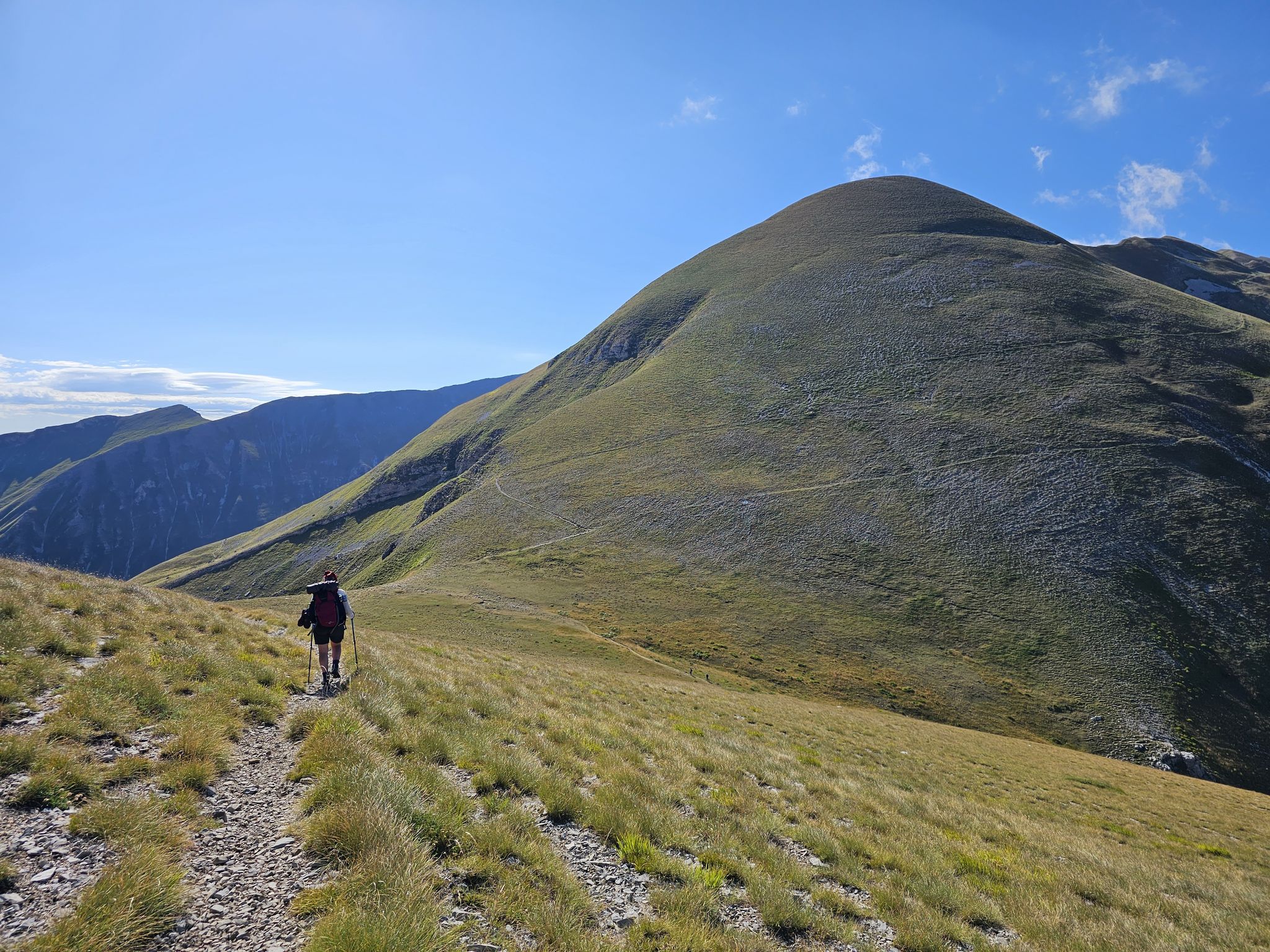
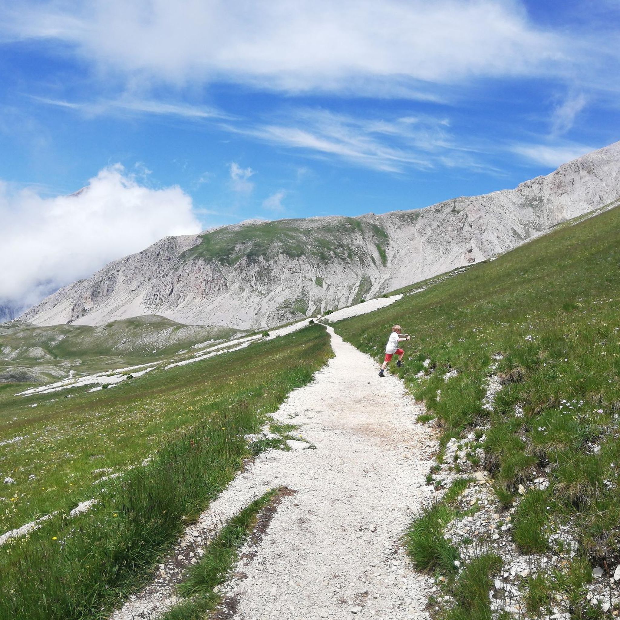
A modest sum along the crest of the same name, Monte Portella is 2,385 meters high and is clearly visible from this path around the Gran Sasso. Its shape and its sharp end recall the shape of a cone. Not far away, to the left, the Duca degli Abruzzi refuge appears.
0
0

Well marked and clear indication point
0
0

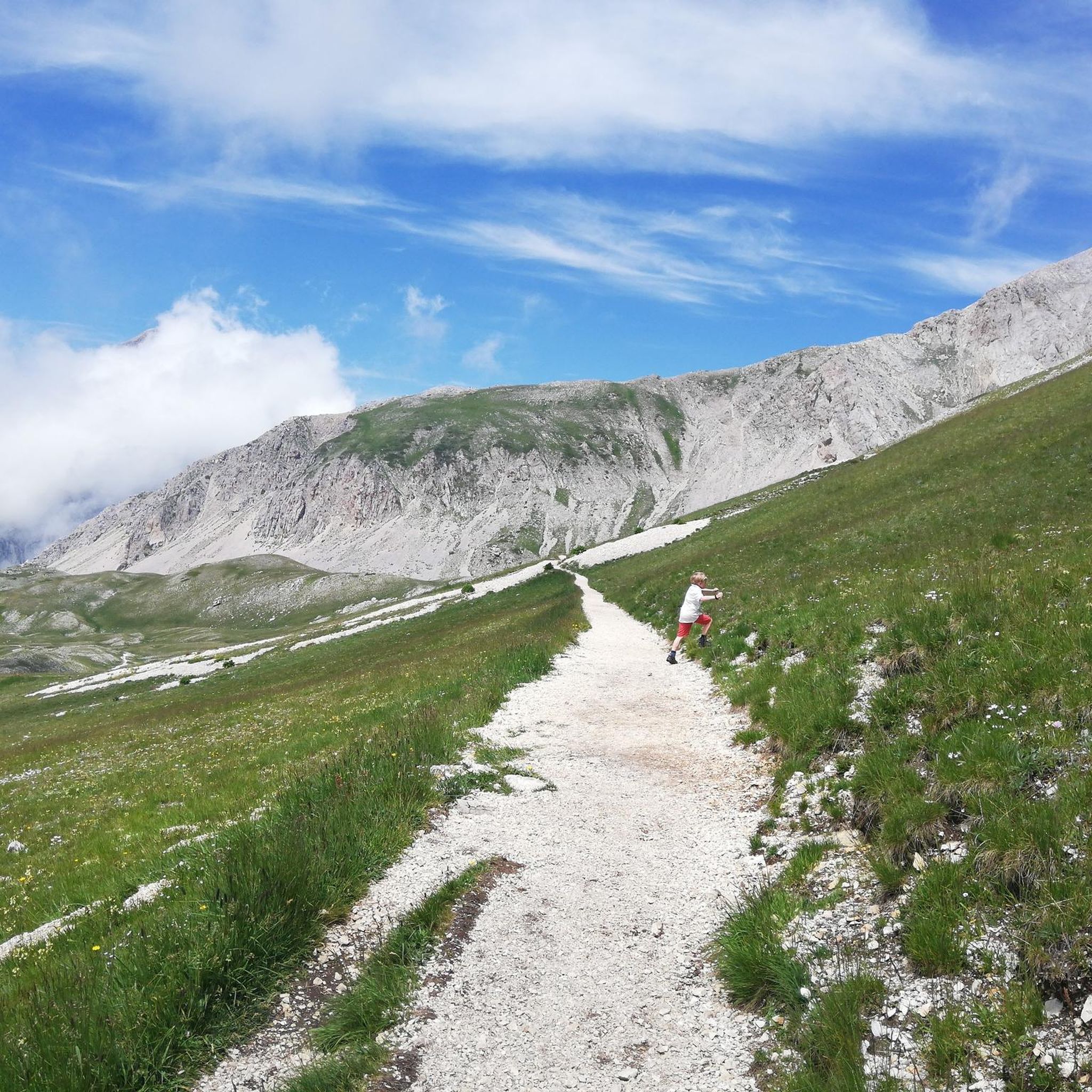
very beautiful route, touristic and suitable for families
0
0
Frequently Asked Questions
How many hiking trails are available around Pietracamela?
There are over 35 hiking trails around Pietracamela, offering a wide range of options from easy walks to challenging mountain ascents within the Gran Sasso and Monti della Laga National Park.
Are there easy hiking options suitable for families?
Yes, Pietracamela offers several easy trails perfect for families. A popular choice is the Rio Arno Waterfalls – Rio Arno Waterfalls loop from Prati di Tivo, an easy 2.9-mile path featuring impressive waterfalls. There are 9 easy routes in total.
What kind of terrain can I expect on hikes around Pietracamela?
The terrain around Pietracamela is incredibly diverse, ranging from lush beech forests and expansive alpine meadows to rugged cliffs and the dramatic Valle Maone. You'll encounter sharp peaks, vertical walls, and even glacial features within the Gran Sasso Massif.
Are there any waterfalls I can visit on a hike?
Yes, the area is known for its beautiful waterfalls. The headwaters of the Rio Arno feature impressive cascades, and a popular easy loop, the Rio Arno Waterfalls – Rio Arno Waterfalls loop from Prati di Tivo, allows you to experience them up close. You can also find the Cascata delle Ciancole for a refreshing natural wonder.
Can I bring my dog on the hiking trails?
While the Gran Sasso and Monti della Laga National Park generally welcomes dogs, specific regulations may apply to certain areas or during particular seasons. It's always best to check the park's official guidelines regarding dog access before heading out, especially concerning protected wildlife zones.
What are some notable landmarks or points of interest along the trails?
Hikers can explore several significant landmarks. You can reach mountain refuges like the Duca degli Abruzzi Hut or the Carlo Franchetti Hut. The area also boasts stunning peaks such as the Corno Grande Western Summit and Monte Aquila Summit, offering breathtaking views.
Are there any circular hiking routes available?
Yes, there are several excellent circular routes. A notable one is the Garibaldi Hut – Duca degli Abruzzi Hut loop from Prati di Tivo, a challenging 12-mile trail through high mountain terrain. The Rio Arno Waterfalls loop is another popular circular option.
What is the best time of year to go hiking in Pietracamela?
The best time for hiking around Pietracamela is generally from late spring to early autumn (May to October). During these months, the weather is more stable, and trails are typically free of snow, offering access to the high-altitude meadows and peaks. Winter offers opportunities for snowshoeing and ski mountaineering, but requires specialized equipment and experience.
How can I reach the trailheads around Pietracamela, especially if I don't have a car?
Pietracamela itself is a charming base, and many trails, particularly those starting from Prati di Tivo, are accessible. Prati di Tivo is a well-known hub just above Pietracamela. While a car offers the most flexibility, local bus services might connect Pietracamela to Prati di Tivo and other nearby towns. It's advisable to check local transport schedules in advance.
What do other hikers enjoy most about hiking in Pietracamela?
The area is highly rated by the komoot community, with an average score of 4.4 stars from over 300 reviews. Hikers frequently praise the dramatic mountain landscapes, the diversity of trails from forests to high alpine, and the stunning views of the Gran Sasso Massif. Many appreciate the well-maintained paths and the sense of wilderness.
Are there any mountain huts or refuges where I can stop during my hike?
Yes, the region features several mountain huts that serve as excellent waypoints or destinations. Popular options include the Duca degli Abruzzi Hut, the Carlo Franchetti Hut, and the Garibaldi Hut. These huts often provide shelter, refreshments, and sometimes overnight accommodation.
What are the most challenging hikes in the area?
Pietracamela offers 19 difficult routes for experienced hikers. One of the most challenging is the Carlo Franchetti Hut – Corno Grande Western Summit loop from Prati di Tivo, which involves significant elevation gain and leads to the highest peak in the Apennines. The From Prati di Tivo to Rifugio Carlo Franchetti is also a demanding ascent.
Most popular attractions around Pietracamela

Get inspired with the komoot mobile app


Explore more
Browse the best Hikes in other regions.
