The best mountain hikes around Poggio Bustone
5.0
(3)
27
hikers
4
hikes
Mountaineering around Poggio Bustone offers routes primarily focused on the Monte Terminillo massif, characterized by its prominent summit and challenging winter conditions. The terrain includes steep ascents, rocky sections, and open mountain environments. These routes provide opportunities for technical mountaineering, particularly during colder months.
Best mountaineering routes around Poggio Bustone
- The most popular mountaineering route is Central Gully (Winter) – Monte Terminillo Summit loop from Monte Terminillo, a 4.3 miles (7.0 km) trail that takes 3 hours 15 minutes…
Last updated: July 5, 2026
10
hikers
6.97km
03:16
400m
400m
Hard mountaineering route. Good fitness required. Sure-footedness, sturdy shoes and alpine experience required.
5.0
(2)
6
hikers
Hard mountaineering route. Very good fitness required. Sure-footedness, sturdy shoes and alpine experience required.

Sign up for free
5
hikers
Moderate mountaineering route. Good fitness required. Mostly accessible paths. Sure-footedness required.
5.0
(1)
6
hikers
3.42km
02:06
380m
370m
Moderate mountaineering route. Good fitness required. Mostly accessible paths. Sure-footedness required.
Our route recommendations are based on thousands of hikes, rides, and runs completed by other people on komoot.
Start today with a free account
Your next adventure awaits.
Login or Signup
Other adventures around Poggio Bustone

Tips from the Community

Breathtaking view and interesting passage on rocks to get there, coming from Terminillo.
0
0


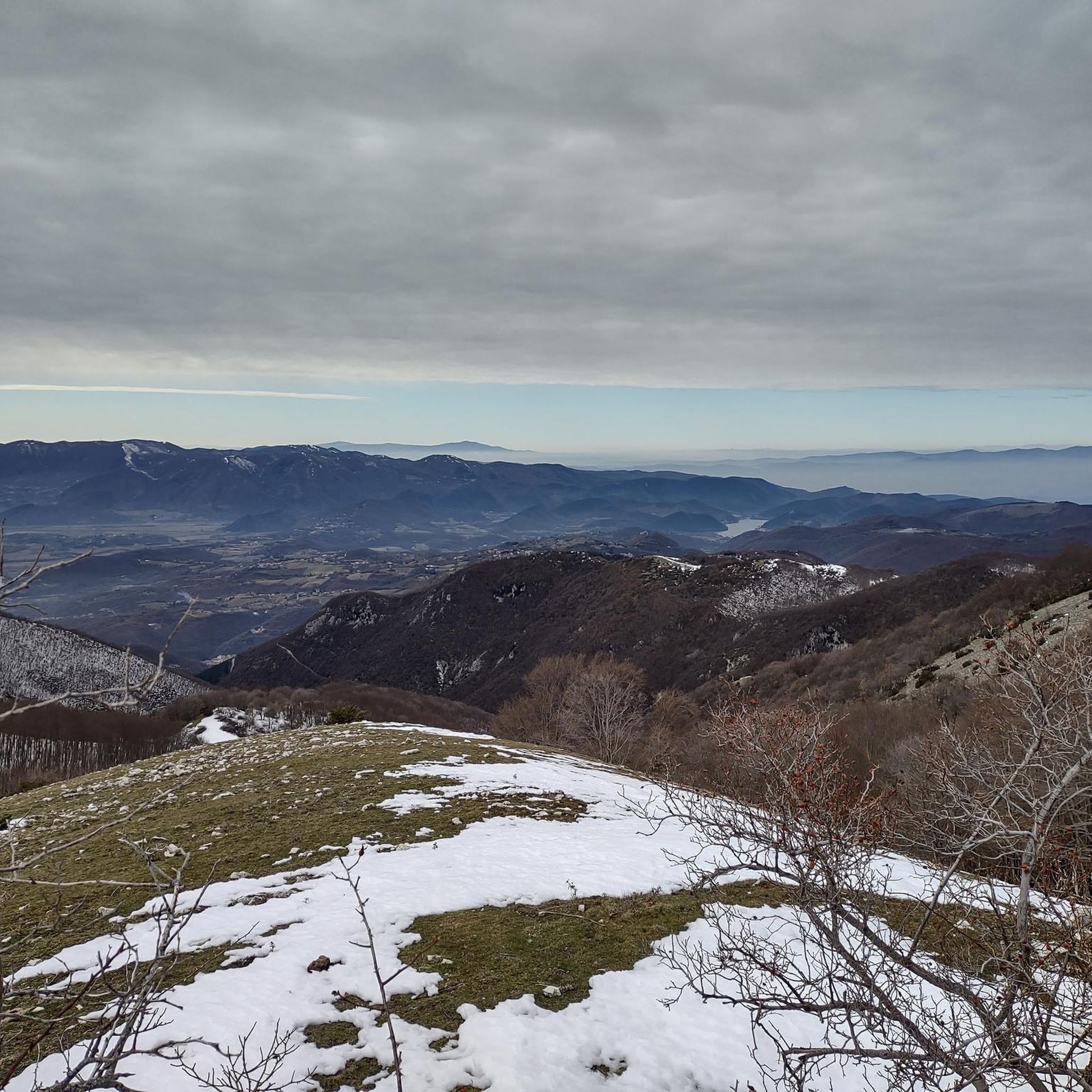
From the summit of Mount Terminillo, 2,216 meters, you can enjoy a breathtaking 360-degree panorama. You can admire the crests of Mount Elefante, Mount Brecciaro, Mount Valloni, Corno Grande, the Laga mountains, the Velino/Sirente massif, and on clear days even Mount Vettore and Gran Sasso. The view of the valleys below is fantastic, and from the highest point, it offers a unique panorama of the Sassetelli ridge, Mount Terminelletto, and the narrow saddle connecting the two peaks. On clear days, the view allows you to glimpse the magnificent mountains of the Central Apennines and the Gran Sasso.
0
0
From the summit of Mount Terminillo, at 2,216 meters, you can enjoy a breathtaking 360-degree panorama. You can admire the crests of Mount Elefante, Mount Brecciaro, Mount Valloni, Corno Grande, the Laga mountains, the Velino/Sirente massif, and on clear days even Mount Vettore and Gran Sasso. The view of the valleys below is spectacular; from the summit, you can admire the spectacular Sassetelli ridge and the ridge leading to Mount Terminelletto, as well as the magnificent mountains of the Central Apennines and the Sibillini Mountains.
1
0

The bar looks good with the two tarts. Last stop before reaching the top
0
0

The town of Pian de’ Valli, is located in the municipality of Rieti, stands at the foot of Terminillo, at an altitude of 1620 meters, hosts many accommodation and commercial activities, and the departure station of the ski lifts is located a few steps from the center. The famous Terminillo cable car is still in operation today both in the winter and summer seasons and is the historical symbol of Pian de’ Valli.
2
0

Wait for the sunset and you will cry :)
0
0
Frequently Asked Questions
What is the typical difficulty level for mountaineering routes around Poggio Bustone?
Mountaineering routes in this area, particularly on the Monte Terminillo massif, range from moderate to difficult. You'll encounter challenging terrain, including steep ascents and rocky sections, especially when tackling routes like the Central Gully (Winter) – Monte Terminillo Summit loop from Monte Terminillo.
Are there any easier mountaineering options for beginners near Poggio Bustone?
While many routes are challenging, there are moderate options available. For instance, the Monte Terminillo Summit – Central Gully (Winter) loop from Pian de' Valli is rated moderate and offers a good introduction to the area's terrain, often completed in about 3 hours 25 minutes.
What are the typical lengths and durations of mountaineering routes in Poggio Bustone?
The routes vary significantly. Shorter, more intense routes like the Exit of the Orsacchiotta Channel – Monte Terminillo Summit loop from Monte Terminillo can be around 3.4 miles (5.5 km) and take about 2 hours, while longer expeditions such as the Central Gully (Winter) – Monte Terminillo Summit loop from Pian de' Valli stretch to 7.4 miles (11.9 km) and can take over 5 hours.
Is public transport available to reach the mountaineering trailheads?
Access to the Monte Terminillo massif, where many of these routes begin, is primarily by car. While some local bus services might connect Poggio Bustone to larger towns, direct public transport to specific trailheads like Pian de' Valli or Monte Terminillo is limited. It's advisable to check local schedules or arrange private transport.
What is the best season for mountaineering in Poggio Bustone?
The Monte Terminillo massif is known for its challenging winter conditions, making it ideal for technical mountaineering during colder months. However, for less experienced mountaineers or those seeking milder conditions, late spring to early autumn offers more accessible routes, though snow can persist at higher elevations.
What are the conditions like for winter mountaineering in Poggio Bustone?
Winter mountaineering in Poggio Bustone, particularly on Monte Terminillo, is characterized by significant snow cover, ice, and strong winds. Routes often involve navigating gullies and require specialized equipment such as crampons, ice axes, and avalanche safety gear. Conditions can change rapidly, so proper preparation and experience are essential.
Are there any circular mountaineering routes available?
Yes, several routes are designed as loops, allowing you to start and finish at the same point. Examples include the Central Gully (Winter) – Monte Terminillo Summit loop from Monte Terminillo and the Monte Terminillo Summit – Central Gully (Winter) loop from Pian de' Valli.
What kind of attractions can I see near the mountaineering routes?
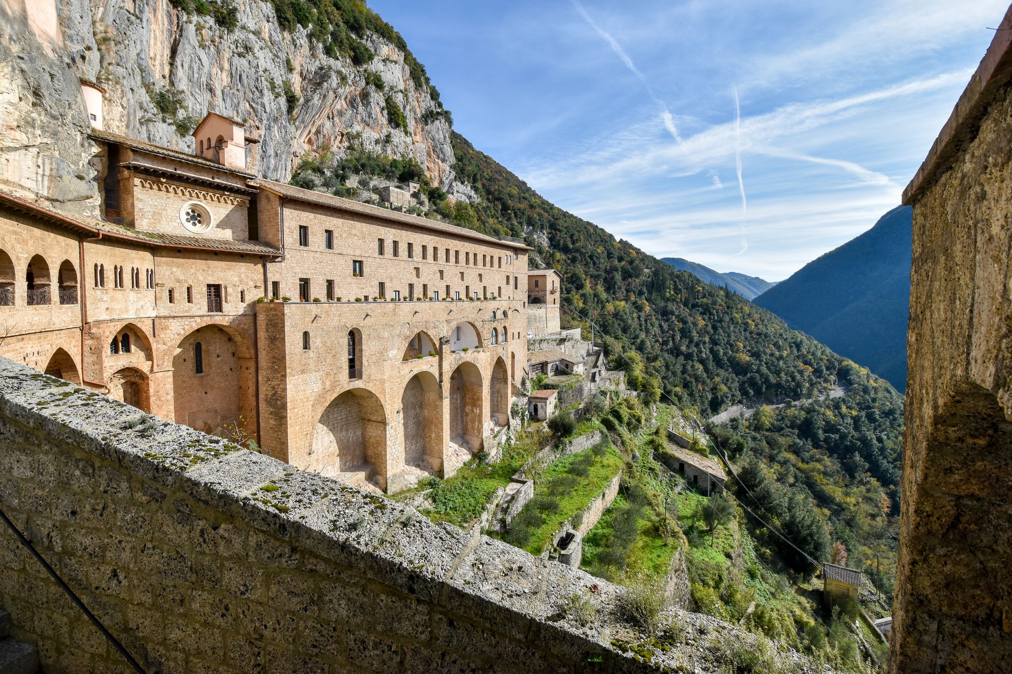
Beyond the mountain peaks themselves, the region offers natural and historical points of interest. You might consider visiting the Lungo and Ripa Sottile Lakes Nature Reserve or the serene Sacro Speco of Saint Francis. For a scenic view, the Cascata del Malopasso is a beautiful waterfall nearby.
Are there any less crowded mountaineering trails around Poggio Bustone?
While the Monte Terminillo summit routes are popular, exploring some of the less-trafficked paths or visiting during off-peak seasons (early spring or late autumn) can offer a more solitary experience. The area's rugged nature means that even popular routes can feel remote once you're on the trail.
What do other mountaineers enjoy the most about mountaineering in Poggio Bustone?
The area is highly rated by the komoot community, with an average score of 5.0 stars. Reviewers often praise the challenging nature of the routes, the stunning high-mountain scenery of the Monte Terminillo massif, and the opportunities for technical mountaineering, especially in winter.
Are the mountaineering routes around Poggio Bustone suitable for families?
Given the focus on challenging terrain and winter conditions, most mountaineering routes in this area are not typically recommended for young children or families seeking easy walks. However, older, experienced teenagers with appropriate gear and supervision might find the moderate routes rewarding. For family-friendly outdoor activities, consider exploring the nearby nature reserves or easier hiking trails in the valleys.
Can I bring my dog on the mountaineering trails?
Many trails in the Apennines are generally dog-friendly, but specific regulations can vary, especially within protected areas or during certain seasons (e.g., nesting periods for wildlife). For mountaineering routes, ensure your dog is fit for challenging terrain, accustomed to cold weather if applicable, and always kept on a leash. It's always best to check local park rules before you go.
Most popular attractions around Poggio Bustone

Get inspired with the komoot mobile app


Explore more
Browse the best Mountain Hikes & Routes in other regions.
