The best road cycling routes around Antrodoco
3.7
(4)
308
riders
14
rides
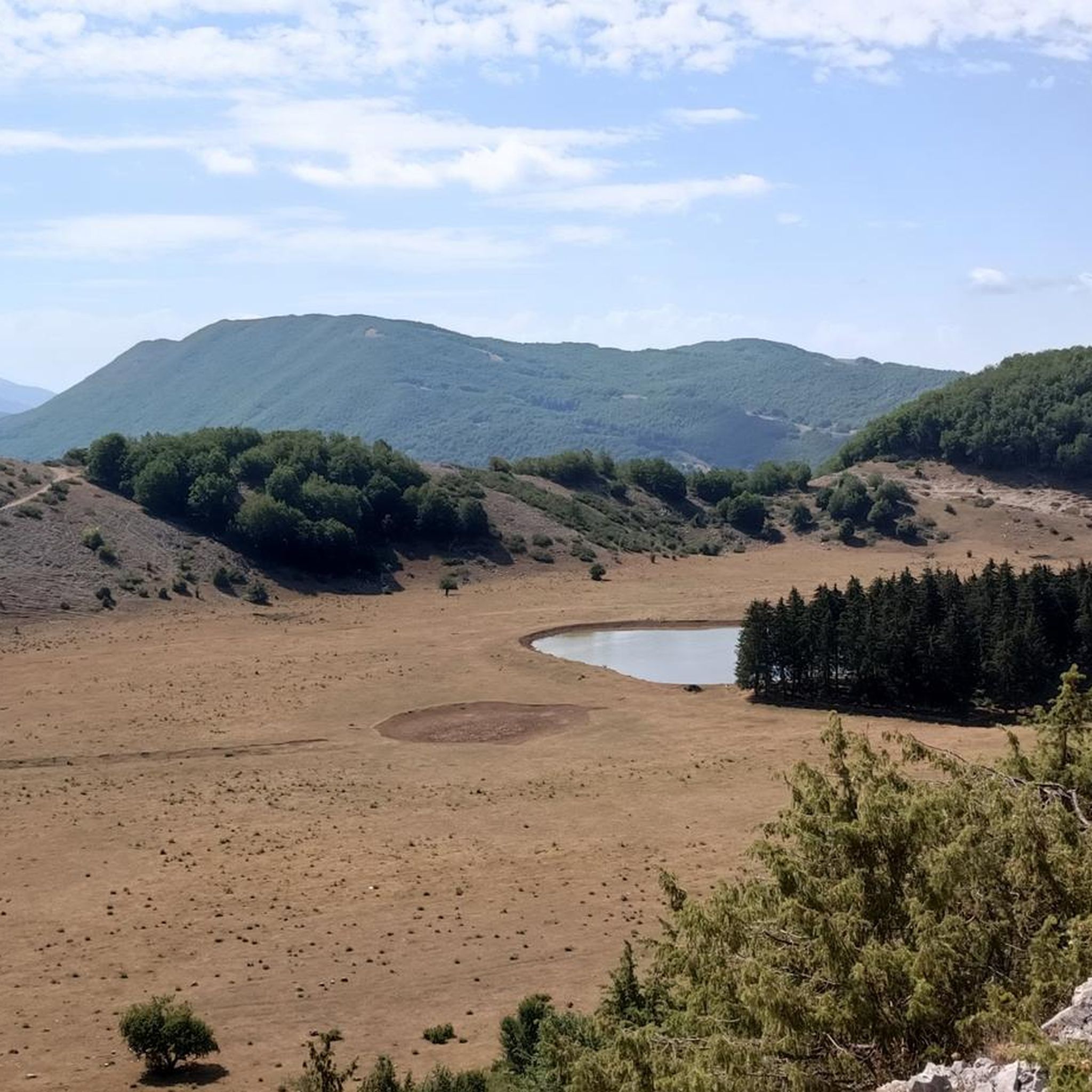
Road cycling around Antrodoco features routes through the Apennine mountains, characterized by varied elevations and winding roads. The region's landscape includes forested valleys, mountain passes, and historic towns, with the Velino River and its gorges adding to the diverse terrain. Cyclists encounter significant climbs on peaks like Monte Giano and Monte Nuria, offering challenging ascents and scenic views. This area provides diverse terrain for road cyclists, from demanding climbs to more rolling sections.
Best road cycling routes around Antrodoco
- The…
Last updated: July 5, 2026
118
riders
49.6km
03:09
1,440m
1,440m
Hard road ride. Very good fitness required. Mostly well-paved surfaces and easy to ride.
15
riders
45.7km
02:33
540m
540m
Moderate road ride. Good fitness required. Some segments of this route may be unpaved and difficult to ride.

Sign up for free
13
riders
102km
05:43
2,240m
2,240m
Hard road ride. Very good fitness required. Mostly well-paved surfaces and easy to ride.
18
riders
56.5km
02:55
660m
660m
Moderate road ride. Good fitness required. Some segments of this route may be unpaved and difficult to ride.
12
riders
150km
08:07
2,830m
2,830m
Hard road ride. Very good fitness required. Some segments of this route may be unpaved and difficult to ride.
Get access to more routes and recommendations from other explorers.
Sign up for free
Already have an account?
Our route recommendations are based on thousands of hikes, rides, and runs completed by other people on komoot.
Start today with a free account
Your next adventure awaits.
Login or Signup
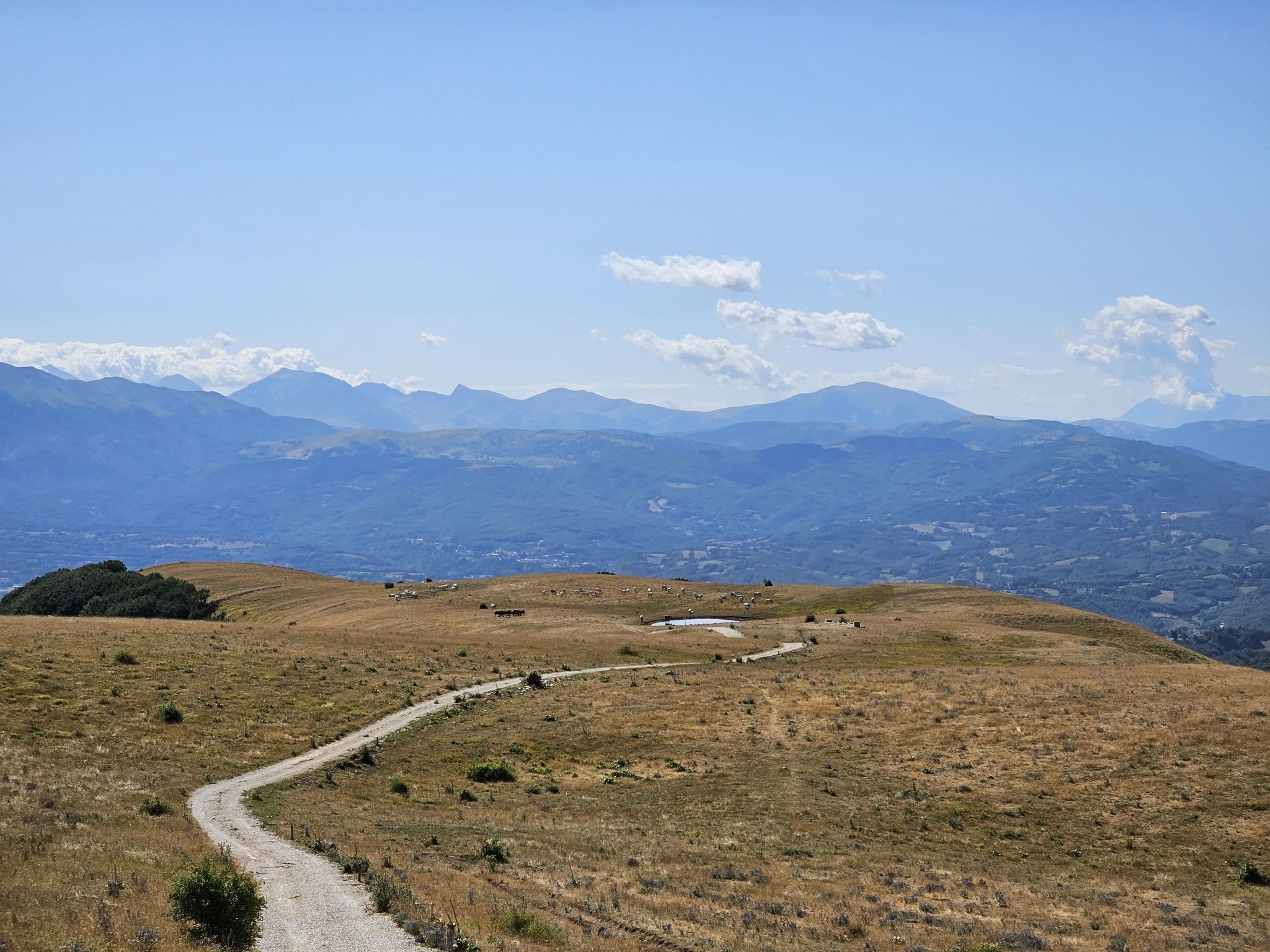
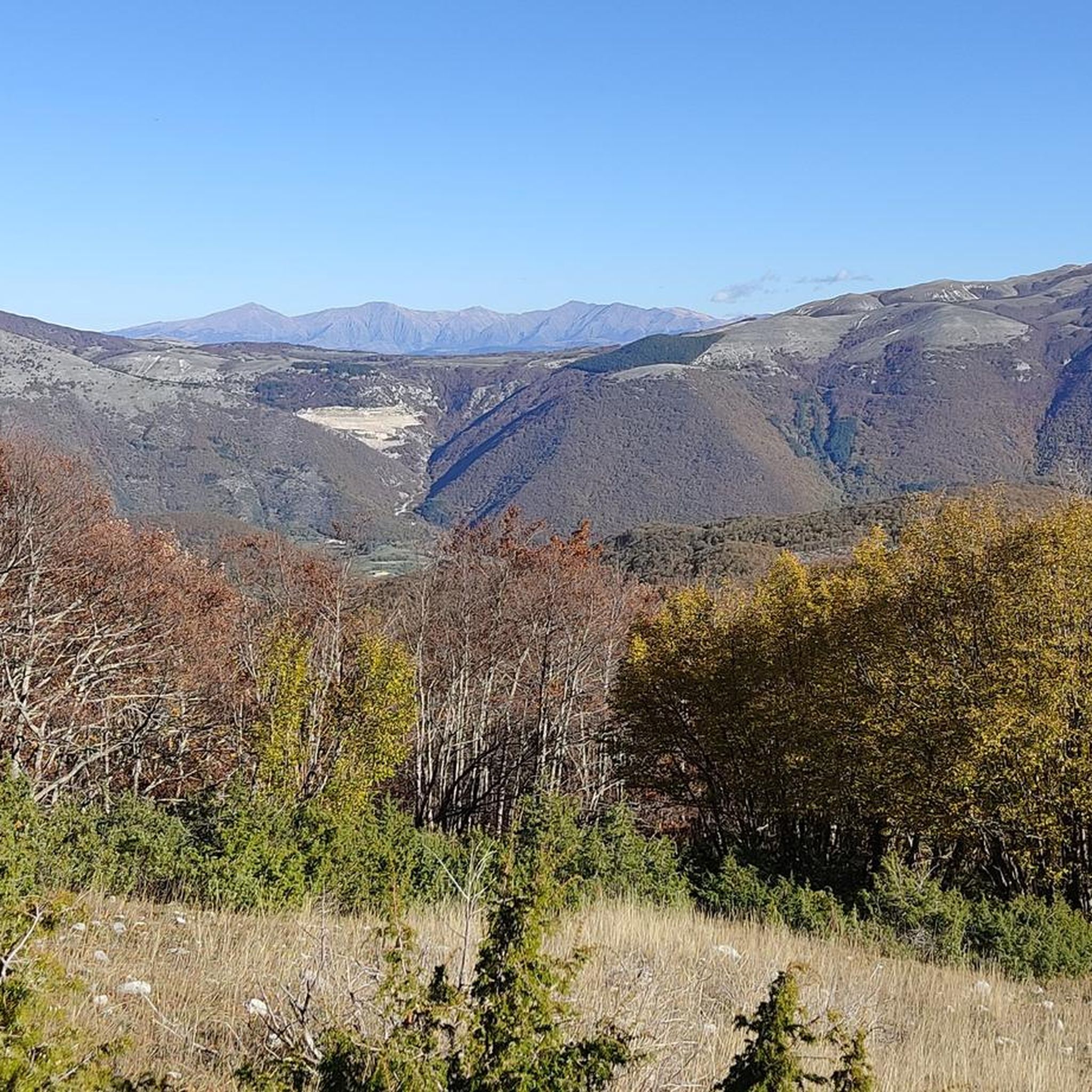
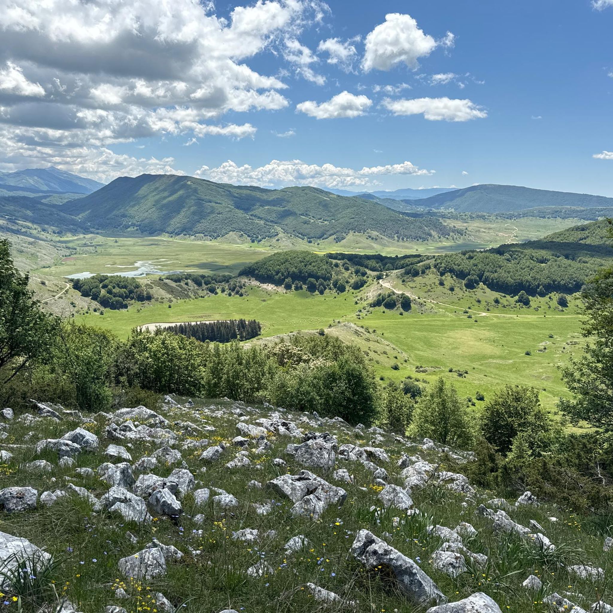
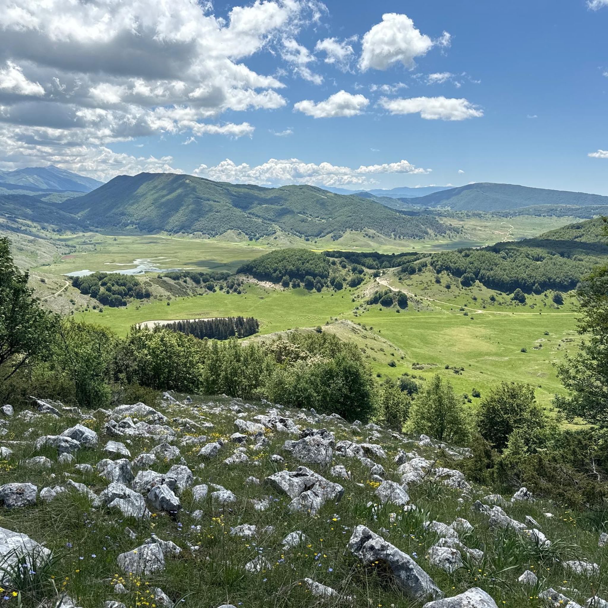
Other adventures around Antrodoco

Tips from the Community

sustained 10% climbing but lovely quite roads with little traffic
0
0

The bar looks good with the two tarts. Last stop before reaching the top
0
0

cuz b or ii b ii on ii or on k jo or on b or ird ii on iii or ok ok ii in ii
0
0

Small hamlet of the municipality of Rieti, located at 600 m above sea level on the slopes of the Terminillo mountain massif, along the Terminillese road that leads from Rieti to Terminillo. It is divided into two parts, the oldest, Lisciano Alto built around the parish church of Santa Maria del Soccorso dating back to the medieval period and the most recent located downstream from the old town
2
0
Location on the access that from Leonessa leads to the top of Terminillo, useful for a restorative stop
3
0
The town of Pian de’ Valli, is located in the municipality of Rieti, stands at the foot of Terminillo, at an altitude of 1620 meters, hosts many accommodation and commercial activities, and the departure station of the ski lifts is located a few steps from the center. The famous Terminillo cable car is still in operation today both in the winter and summer seasons and is the historical symbol of Pian de’ Valli.
2
0
The walls surround the entire center, of Roman origin, of which few traces remain; the medieval walls built in the 13th century are still widely visible with their towers and portals, which are considered "among the most imposing and best preserved in Lazio. Very suggestive
2
0

After the pass at about 1900 m above sea level begins a long descent of about 20 km towards Rieti. Here after the first 3 or 4 km the landscape changes, it is totally different and the road becomes wider and populated with cars of tourists who go up from the Rieti plain and who arrive from the hot capital Rome.
1
0
Frequently Asked Questions
How many road cycling routes are available around Antrodoco?
There are over 20 road cycling routes in the Antrodoco region, offering a variety of experiences from moderate loops to challenging long-distance rides through the Apennine mountains.
Are there easy road cycling routes suitable for beginners in Antrodoco?
While many routes in Antrodoco feature varied elevations, there is at least one easy road cycling route. The region generally offers options for different ability levels, but beginners should be prepared for some rolling sections.
What are some challenging or long-distance road cycling routes in Antrodoco?
For experienced cyclists seeking a challenge, routes like the Spoletina Gate (Leonessa) – Sella di Leonessa loop from Antrodoco Centro, covering nearly 100 km with significant elevation gain, or the extensive Madonna d'Appari Church – Lake Campotosto loop from Antrodoco Centro, which is over 160 km, offer demanding rides through mountain passes.
What kind of scenery can I expect on road cycling routes in Antrodoco?
Road cycling around Antrodoco is characterized by diverse scenery, including forested valleys, challenging mountain passes, and historic towns. You'll encounter varied terrain and panoramic views of the Apennine landscape.
Are there any circular road cycling routes in Antrodoco?
Yes, many of the road cycling routes in Antrodoco are loops. Examples include the popular City Walls of Rieti – Sanctuary of the Forest loop from Castel Sant'Angelo and the Terme di Cotilia loop from Borgo Velino, both offering a complete circuit back to the starting point.
What are some notable natural attractions to see along the road cycling routes?
While cycling, you might pass by natural highlights such as Lake Rascino or the impressive Cascata del Malopasso waterfall. The region also features significant peaks like Monte Nuria.
Are there any historical or cultural landmarks near the road cycling routes?
Yes, the area is rich in history. You can find sites like the Ancient Baths of Vespasian, offering a glimpse into the region's past, often accessible from various routes.
What do other road cyclists enjoy most about road cycling in Antrodoco?
The road cycling routes in Antrodoco are highly rated by the komoot community, with an average score of 4.1 stars. Cyclists often praise the varied terrain, the challenge of the mountain passes, and the scenic beauty of the forested valleys and historic towns.
When is the best time of year for road cycling in Antrodoco?
The best time for road cycling in Antrodoco is typically during the spring and autumn months when temperatures are milder and the natural scenery is vibrant. Summer can also be suitable, especially at higher elevations, but be prepared for warmer conditions in the valleys. Winter cycling can be challenging due to snow and ice on mountain passes.
Where can I find parking for road cycling routes in Antrodoco?
Parking availability varies by starting point. Many routes, such as those beginning from Antrodoco Centro or other towns like Borgo Velino and Castel Sant'Angelo, often have public parking options nearby. It's advisable to check specific town centers or designated parking areas.
Are there viewpoints along the road cycling routes in Antrodoco?
Yes, the mountainous terrain of Antrodoco offers numerous scenic viewpoints. Routes often pass by spots like Scenic Viewpoint Over the Valley or provide stunning vistas of peaks such as Monte Terminilletto, especially on routes that climb to higher elevations.
Most popular attractions around Antrodoco

Get inspired with the komoot mobile app


Explore more
Browse the best Road cycling routes in other regions.
