The 20 Most Amazing Peaks around Carapelle Calvisio
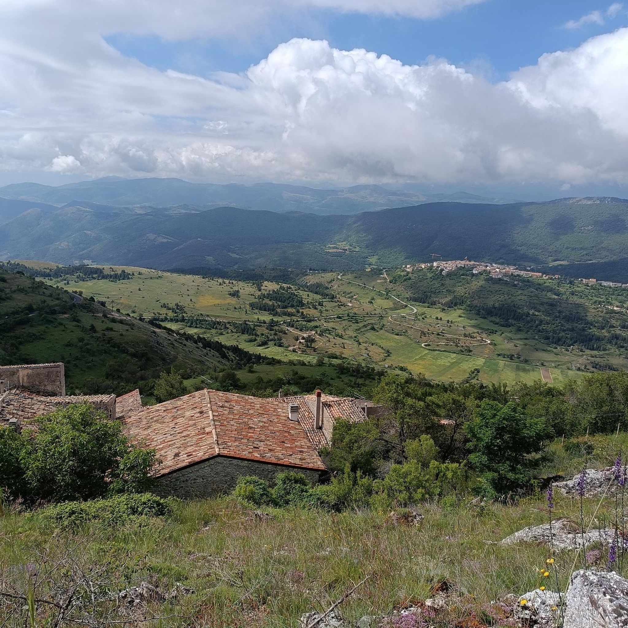
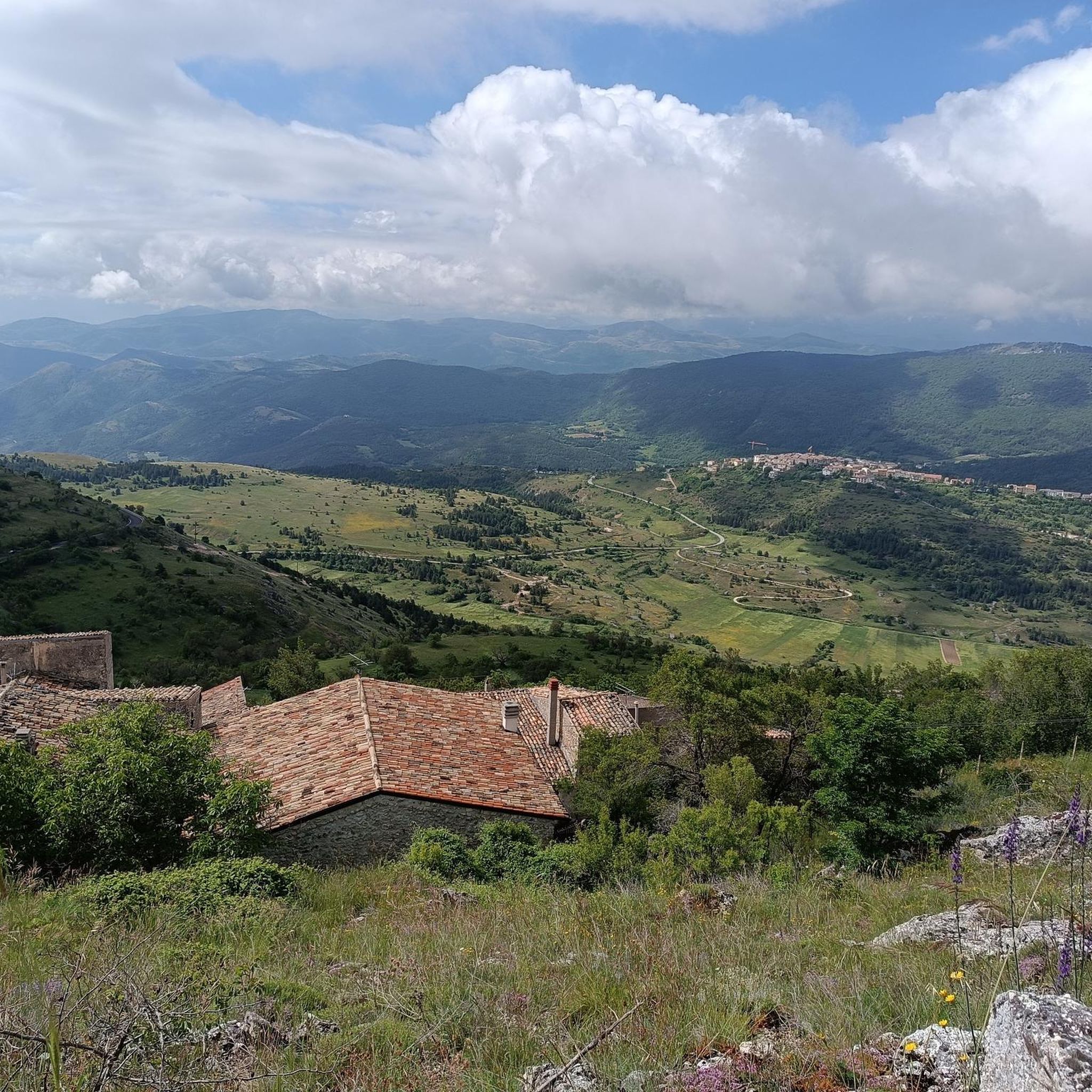
Best mountain peaks around Carapelle Calvisio are found in a region characterized by its mountainous terrain. Carapelle Calvisio is a mountain village situated at approximately 900 meters above sea level within the Gran Sasso and Monti della Laga National Park. This location provides panoramic views of the Aquila basin, extending to the Maiella massif and the Navelli plain. The area offers access to significant mountain peaks within the Gran Sasso massif.
Best mountain peaks around Carapelle Calvisio
- The most popular…
Last updated: July 7, 2026
Corno Grande Western Summit
Highlight • Summit
Tip by

Monte Aquila Summit
Highlight • Summit
Translated by Google •
Tip by

Sign up now to discover places like this
Get recommendations on the best single tracks, peaks, & plenty of other exciting outdoor places.
Sign up for free
Campo Imperatore Summit
Highlight • Summit
Translated by Google •
Tip by

Monte Camicia summit
Highlight • Summit
Translated by Google •
Tip by

Capo la Serra Pass
Highlight • Mountain Pass
Translated by Google •
Tip by

Sign up for free to discover even more peaks around Carapelle Calvisio.
Sign up for free
Already have an account?
Start today with a free account
Your next adventure awaits.
Login or Signup

Tips from the Community

The endpoint by car is the large mountain square Piazzale di Campo Imperatore (2,130 meters). The breathtaking mountain road SS17bis leads you from the valley right up to the doors of the Hotel Campo Imperatore and the Astronomical Observatory. Why shouldn't you miss Campo Imperatore? Because here you are right in the middle of the high mountains without a strenuous climb. At an altitude of 2,130 meters, you are surrounded by impressive mountain peaks and begin one of the most beautiful hiking areas in the Apennines. The car journey there is an experience in itself: a winding road through the spectacular landscape of 'Little Tibet', where you often encounter horses, cows, and large flocks of sheep along the way. At the top, you will also find a unique mix of nature, history, and culture, with the historic hotel where Mussolini was imprisoned, the highest church in Italy, the astronomical observatory, and cozy food trucks where you can enjoy local specialties such as fresh pecorino and generously filled sandwiches.
4
0

Given the steepness, trekking poles are recommended.
0
0

It has nothing to envy of the equally beautiful Dolomite landscapes
0
0

The Normal Route is a fairly simple route, except for the last 400 meters, the gully and the ridge, which, being EEA grade (expert equipped hikers), require considerable physical strength and technique. Mountaineering boots are also required, and a helmet is recommended. Since the ridge is also quite technical, it is absolutely not suitable for those with a fear of heights, the elderly, children, or anyone without mountaineering experience.
3
0

what beautiful places to cycle
0
0

A Classic from Campo Imperatore, I recommend excursions even for those who are new to the area, beautiful panorama
0
0

It connects the Campo Imperatore plateau with the mountain centers of Castel del Monte, Calascio and Santo Stefano di Sessanio, and is dominated to the east by Monte Capo di Serre and to the west by Monte Bolza.
0
0

The Capo di Serre pass, located at 1,600 meters above sea level, is a mountain pass in the Abruzzo Apennines, overlooking the southern slope of the Gran Sasso massif of Italy. This pass connects the Campo Imperatore plateau to the mountain centers of Castel del Monte, Calascio and Santo Stefano di Sessanio. Its position is dominated to the east by Monte Capo di Serre and to the west by Monte Bolza. A breathtaking vantage point that offers the chance to explore the surrounding natural beauty.
1
0
Frequently Asked Questions
What are some of the most notable mountain peaks near Carapelle Calvisio?
The region around Carapelle Calvisio, nestled within the Gran Sasso and Monti della Laga National Park, offers access to several impressive mountain peaks. Among them, the Corno Grande Western Summit stands out as the highest peak on the Italian Peninsula. Other significant peaks include Monte Aquila Summit, which provides excellent panoramic views of the Gran Sasso area, and Campo Imperatore Summit, a popular starting point for various trails.
Which mountain peaks offer the best panoramic views of the Abruzzo landscape?
For unparalleled vistas, the Corno Grande Western Summit provides breathtaking 360-degree views of the surrounding Abruzzo landscape. Additionally, Monte Aquila Summit is known for offering a fantastic overview of the Gran Sasso area, including the rocky Corno Grande and the vast Campo Imperatore plateau. The Monte Camicia summit also rewards hikers with an impressive panorama.
Are there challenging mountain peaks for experienced hikers near Carapelle Calvisio?
Yes, the region is well-suited for experienced hikers seeking a challenge. The ascent to Corno Grande Western Summit is a rewarding endeavor, with routes like the 'direttissima' path. Monte Camicia summit also presents a challenging hike with steep and constant climbs. These peaks offer a sense of accomplishment and an immersive high-altitude experience.
What unique natural features can I discover on the mountain peaks in this region?
The most unique natural feature is found on the Corno Grande Western Summit: its northern corrie harbors the Ghiacciaio del Calderone, which is Europe's southernmost glacier. This adds a distinctive geographical element to the already stunning mountain environment of the Gran Sasso massif.
Where are common starting points for hikes to the mountain peaks?
A primary starting point for many excursions into the Gran Sasso massif, including routes to Corno Grande, is Campo Imperatore Summit. Located at an altitude of 2,100 meters, it serves as a base for various hiking trails. For Monte Camicia summit, a common starting point is the Fonte Vetica Refuge.
What is the best time of year to hike the mountain peaks around Carapelle Calvisio?
The best time for hiking the mountain peaks around Carapelle Calvisio is generally during the warmer months, from late spring to early autumn. However, even in May, some peaks like Monte Camicia summit can still have significant snowfields, especially at higher elevations. Always check local weather forecasts and trail conditions before heading out, as conditions can change rapidly in the mountains.
Are there family-friendly mountain walks around Carapelle Calvisio?
While many of the highest peaks present challenging terrain, there are options for less strenuous walks. For example, the area around Capo la Serra Pass offers intermediate routes and stunning views without the extreme difficulty of the highest summits. For specific family-friendly hiking trails, you can explore the Hiking around Carapelle Calvisio guide, which includes easier options like the 'Rocca Calascio – Rocca Calascio Castle loop from Calascio'.
What hiking trails are available near the mountain peaks around Carapelle Calvisio?
The region offers a variety of hiking trails. For challenging mountain hikes, consider routes like the 'Campo Imperatore – Corno Grande loop from Campo Imperatore' or the 'Monte Camicia summit – Fonte Vetica Hut loop from Camping Fonte Vetica'. You can find more details and options in the Mountain Hikes around Carapelle Calvisio guide.
Beyond hiking, what other outdoor activities can I do near Carapelle Calvisio's mountain peaks?
Besides hiking, the area provides opportunities for other outdoor activities. You can find various running trails, such as the 'Monte Camicia and Monte Tremoggia – loop tour' or the 'Canyon dello Scoppaturo and Cresta del Monte Bolza – loop tour'. Explore these and more in the Running Trails around Carapelle Calvisio guide.
Are dog-friendly hiking trails available in the Gran Sasso National Park near Carapelle Calvisio?
The Gran Sasso National Park has specific regulations regarding pets. While many trails are generally accessible, it's crucial to check the park's official guidelines for specific areas and seasons, especially concerning protected wildlife zones. Always keep dogs on a leash and ensure you follow all park rules to protect the natural environment and other visitors.
What is the Capo la Serra Pass and what does it offer?
The Capo la Serra Pass is a mountain pass located at 1,600 meters above sea level in the Abruzzo Apennines. It marks the watershed between the Campo Imperatore plateau and towns like Castel del Monte. It's an intermediate-level viewpoint offering breathtaking vistas and a chance to explore the natural beauty of the area, connecting various mountain centers.
What is the terrain and elevation like for mountains directly surrounding Carapelle Calvisio?
Carapelle Calvisio itself is situated at approximately 900 meters above sea level. The surrounding Gran Sasso massif features significant elevation changes, with peaks like Corno Grande Western Summit reaching 2,912 meters. The terrain varies from wooded hills closer to the village to rocky, high-alpine environments with scree and challenging paths at higher altitudes.
Most popular routes around Carapelle Calvisio
Most popular attractions around Carapelle Calvisio

Get inspired with the komoot mobile app


Explore more
See even more amazing summits around Carapelle Calvisio with these guides:
