The best walks and hikes around Reichenschwand
4.4
(846)
3,058
hikers
72
hikes
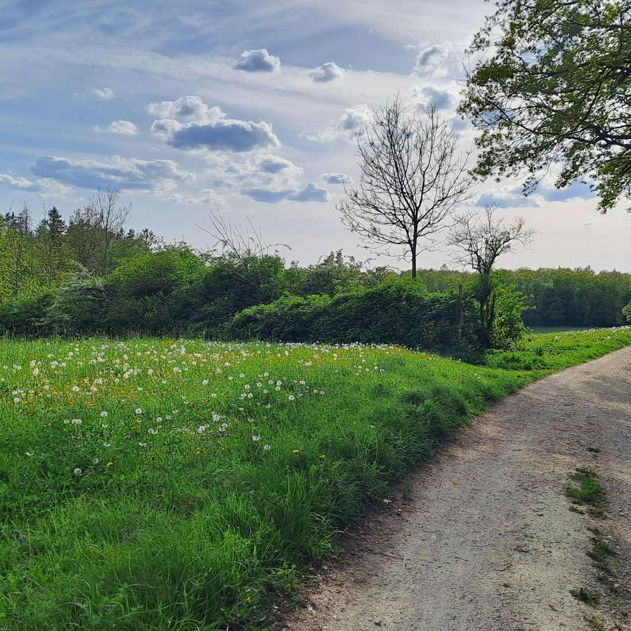
Hiking around Reichenschwand offers access to the varied landscapes of Franconian Switzerland, situated between Nuremberg and Bayreuth. The region features an inviting hilly terrain, with the Pegnitz river flowing through it, creating serene riverside paths along the Pegnitzauen. Hikers can explore parts of the picturesque Hersbrucker Schweiz, characterized by woodlands and elevated viewpoints.
Best hiking trails around Reichenschwand
- The most popular hiking route is Monte Velo – View from Glatzenstein loop from Reichenschwand, a 9.8 miles (15.7 km) trail…
Last updated: August 21, 2026
4.7
(104)
320
hikers
Hard hike. Good fitness required. Sure-footedness, sturdy shoes and alpine experience required.
4.7
(54)
180
hikers
15.6km
04:35
420m
420m
Moderate hike. Good fitness required. Mostly accessible paths. Sure-footedness required.

Sign up for free
4.9
(31)
103
hikers
5.37km
01:37
160m
160m
Moderate hike. Great for any fitness level. Mostly accessible paths. Sure-footedness required.
4.8
(89)
308
hikers
10.8km
03:08
260m
260m
Moderate hike. Good fitness required. Mostly accessible paths. Sure-footedness required.
4.6
(8)
56
hikers
7.05km
01:54
90m
90m
Easy hike. Great for any fitness level. Easily-accessible paths. Suitable for all skill levels.
Get access to more routes and recommendations from other explorers.
Sign up for free
Already have an account?
Our route recommendations are based on thousands of hikes, rides, and runs completed by other people on komoot.
Start today with a free account
Your next adventure awaits.
Login or Signup
Other adventures around Reichenschwand

Tips from the Community

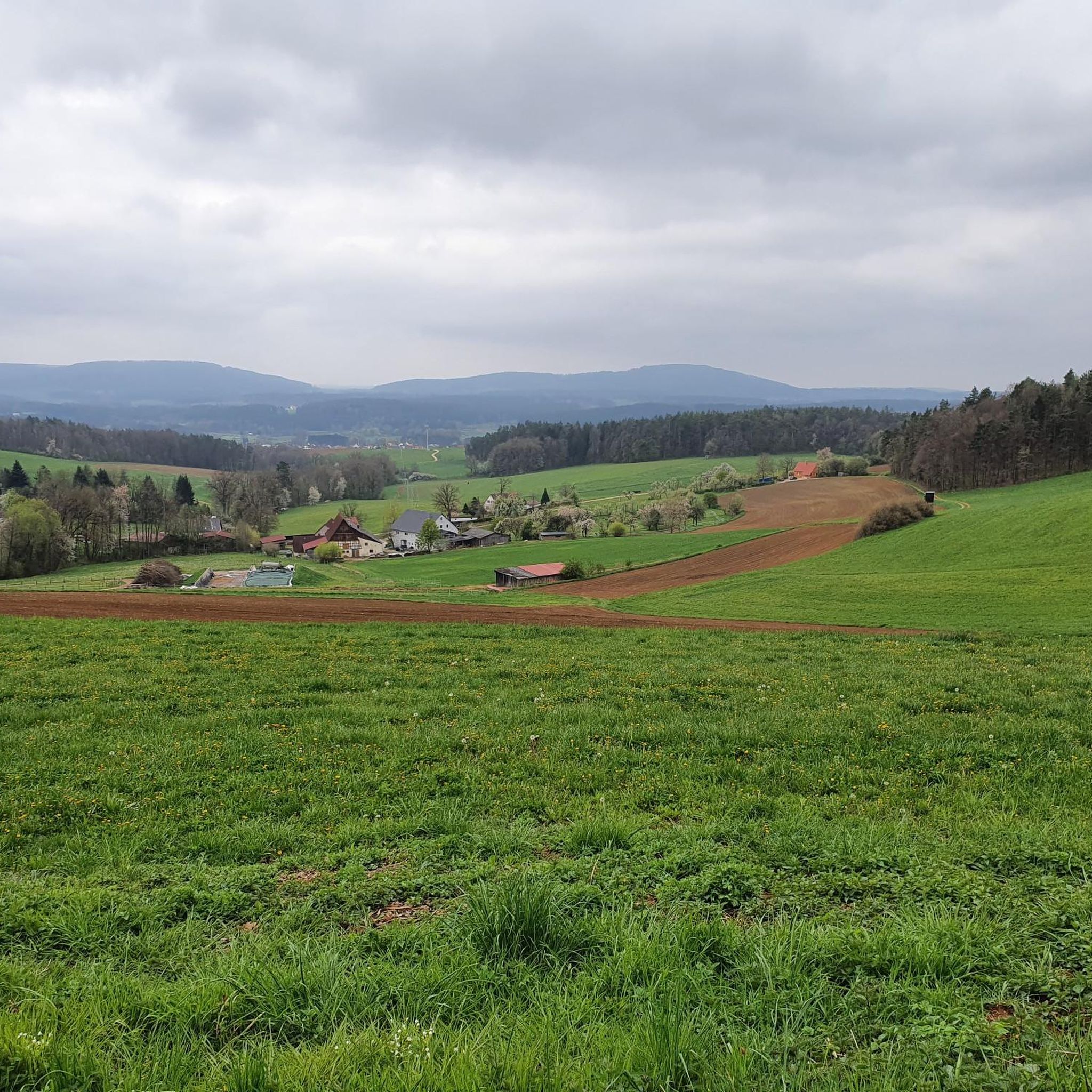
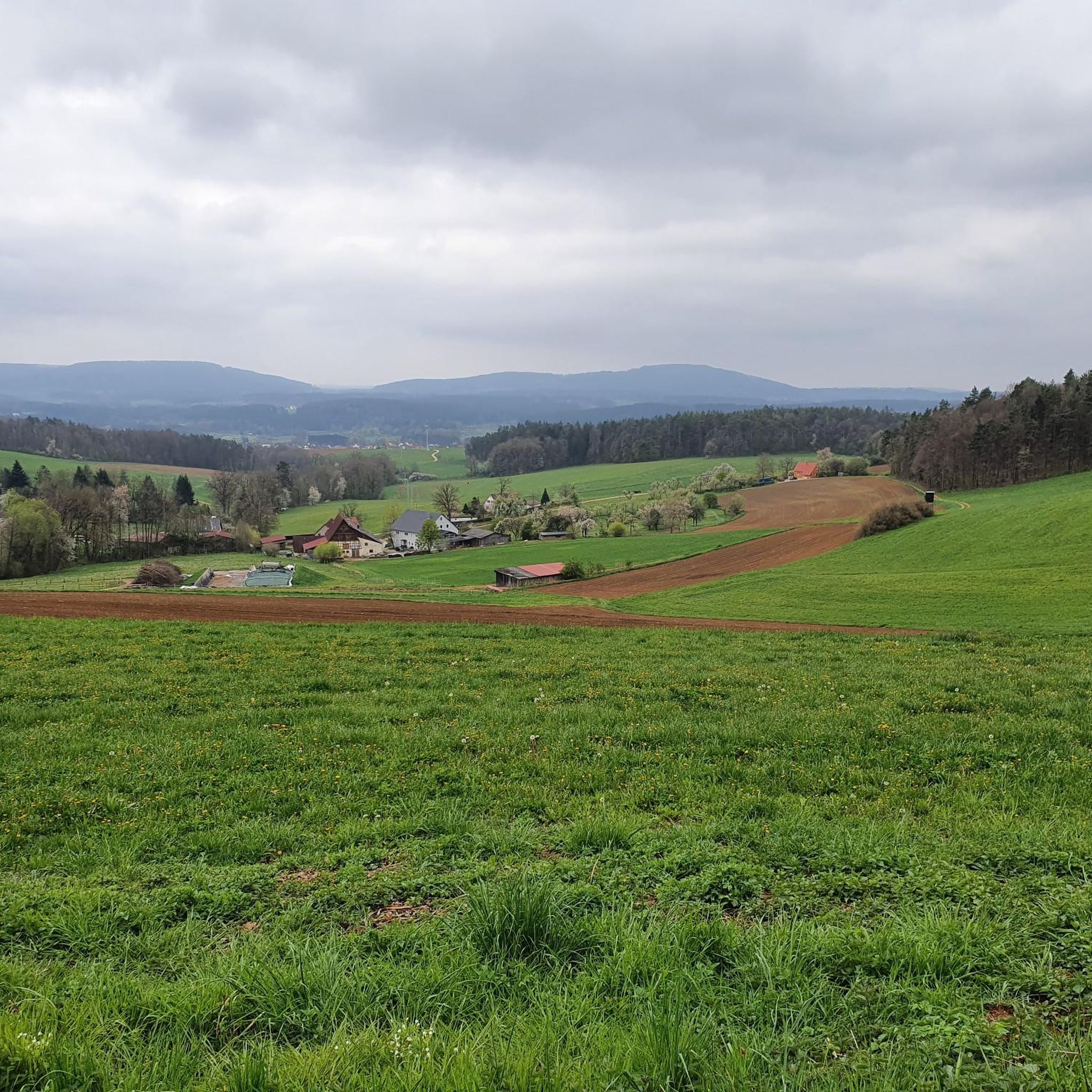
The view extends from Deckersberg in the east, over Arzberg, Buchenberg and Nonnenberg to Moritzberg in the west.
0
0

a relatively new "panorama lounger" invites you to linger
1
0

From the 572-meter-high Glatzenkopf mountain in Hersbrucker Schweiz, you have a wonderful view of the surrounding area. On clear days, you can see as far as Nuremberg.
0
0

It lies like a barrier in front of Franconian Switzerland
0
0

Here you can enjoy a beautiful view back to the Glatzenstein at the foot of the Rothenberg.
0
0
Beautiful view of the Nuremberg foreland and the Moritzberg.
0
0
Frequently Asked Questions
How many hiking trails are available around Reichenschwand?
Reichenschwand offers a diverse network of over 70 hiking trails. These routes cater to various skill levels, from easy riverside walks to more challenging ascents into the hilly landscapes of Franconian Switzerland.
Are there any easy or family-friendly hiking routes in Reichenschwand?
Yes, Reichenschwand has plenty of easy options suitable for families. Over 38 of the trails are rated as easy. A good example is the Generations Garden – View of Lindelberg loop from Reichenschwand, which is 4.4 miles (7.0 km) long and takes about 2 hours to complete, leading through varied terrain.
What kind of natural features can I expect to see while hiking in Reichenschwand?
The region is characterized by its inviting hilly landscape and the serene Pegnitz river. You can explore the Pegnitzauen with its riverside paths, ascend the Schlossberg for valley views, or visit the striking Glatzenstein rock massif, which also features a prehistoric cave. The Hohler Fels, a spacious cave above Happurg, is another significant natural wonder.
Are there any circular hiking routes around Reichenschwand?
Many of the trails in Reichenschwand are circular, offering convenient starting and ending points. For instance, the Oak Tree Swing – Kersbach Rock Labyrinth loop from Reichenschwand is a moderate 5.4 miles (8.7 km) circular path that takes you through varied scenery.
What historical or cultural landmarks can I discover on a hike?
Beyond natural beauty, Reichenschwand offers cultural and historical points of interest. You can see the neo-Gothic Reichenschwand Castle by the Pegnitz or visit the St. Laurentius Church. The nearby Houbirg mountain features remains of an ancient Celtic oppidum, with impressive walls and prehistoric sites. For a broader view of local attractions, consider exploring highlights like Lauf an der Pegnitz – Market Square or Hohenstein Castle.
Are there any challenging hikes for experienced hikers?
Yes, Reichenschwand also offers more challenging routes. There are 4 difficult trails available. An example is the Monte Velo – View from Glatzenstein loop from Reichenschwand, a 9.8 miles (15.7 km) trail with significant ascents to the Glatzenstein rock massif, typically taking over 4.5 hours to complete.
What do other hikers say about the trails in Reichenschwand?
The hiking routes in Reichenschwand are highly regarded by the komoot community, holding an average rating of 4.5 stars from over 700 reviews. Hikers often praise the varied terrain, the scenic views from elevated points like the Glatzenstein, and the well-maintained paths through woodlands and along the Pegnitz river.
Are there good viewpoints along the hiking trails?
Absolutely. Reichenschwand is known for its panoramic vistas. The Schlossberg offers expansive views of the valley, and the lookout tower at Hirschbachfelsen provides particularly beautiful scenes. The View from Glatzenstein is another popular spot for breathtaking views.
Can I find routes that combine natural sights with interesting rock formations?
Yes, the region is rich in unique rock formations. The View from Glatzenstein – Kersbach Rock Labyrinth loop from Reichenschwand is a moderate 6.7 miles (10.8 km) route that combines panoramic views from Glatzenstein with the exploration of the fascinating Kersbach Rock Labyrinth.
What is the best time of year to go hiking in Reichenschwand?
Reichenschwand's hilly landscapes and riverside paths are enjoyable throughout much of the year. Spring and autumn offer pleasant temperatures and vibrant scenery, while summer allows for canoeing on the Pegnitz. Even in winter, some trails can be explored, though conditions may vary.
Are there any routes that lead to summits or high points?
Yes, you can find routes that take you to notable summits. The Großer Hansgörgl Summit Cross – Summit "Kleiner Hansgörgl" loop from Reichenschwand is a moderate 5.9 miles (9.5 km) hike that includes ascents to these local high points, offering rewarding views.
Most popular routes around Reichenschwand
Most popular attractions around Reichenschwand

Get inspired with the komoot mobile app


Explore more
Browse the best Hikes in other regions.
