The 12 Most Amazing Peaks around Borgorose
Best mountain peaks around Borgorose are found in a region characterized by its mountainous terrain, situated in central Italy near the boundaries with Lazio and Abruzzo. This area is part of the Apennines chain, specifically within the Sirente-Velino Regional Natural Park. The landscape offers numerous peaks, providing opportunities for exploration and experiencing the natural environment.
Best mountain peaks around Borgorose
- The most popular mountain peaks is Monte Velino Summit Cross, a summit that offers panoramic views after a challenging…
Last updated: October 4, 2026
Il Costone Summit Cross
Highlight • Summit
Translated by Google •
Tip by

Monte Velino Summit Cross
Highlight • Summit
Translated by Google •
Tip by

Sign up now to discover places like this
Get recommendations on the best single tracks, peaks, & plenty of other exciting outdoor places.
Monte di Sevice Summit
Highlight • Summit
Translated by Google •
Tip by

Monte Magnola Summit
Highlight • Summit
Translated by Google •
Tip by
Summit of Monte Cafornia
Highlight • Summit
Translated by Google •
Tip by
Sign up for free to discover even more peaks around Borgorose.
Already have an account?
Start today with a free account
Your next adventure awaits.
Popular around Borgorose
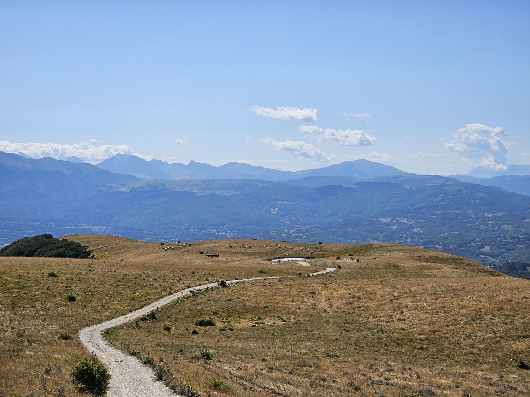
Natural Park Walk – part 3 from Corvaro to Accumoli
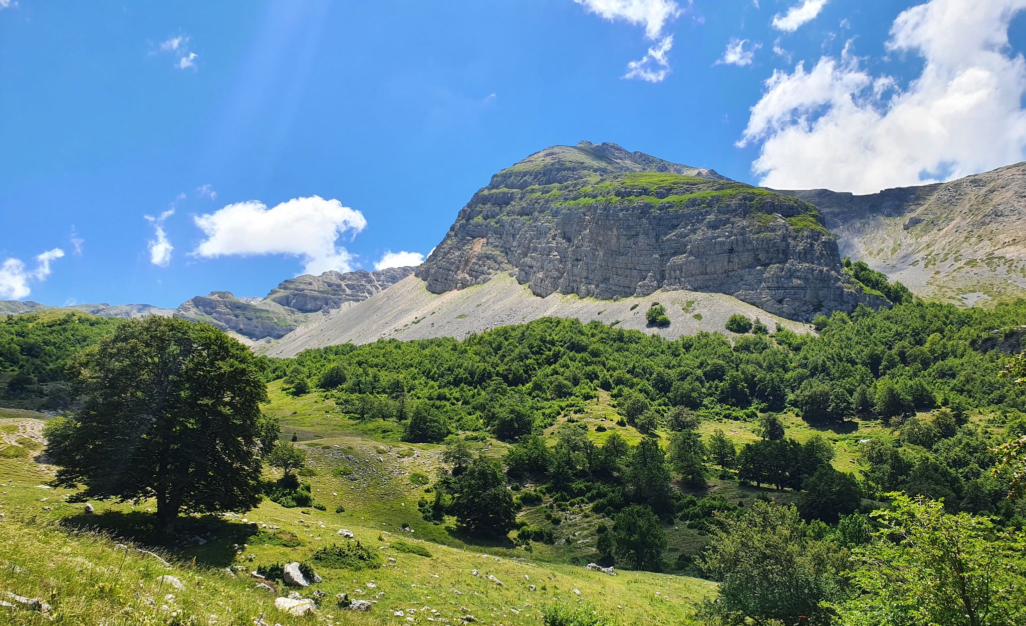
Cammino dei Briganti – hike in the footsteps of Marsica and Cicolano rebels in Italy
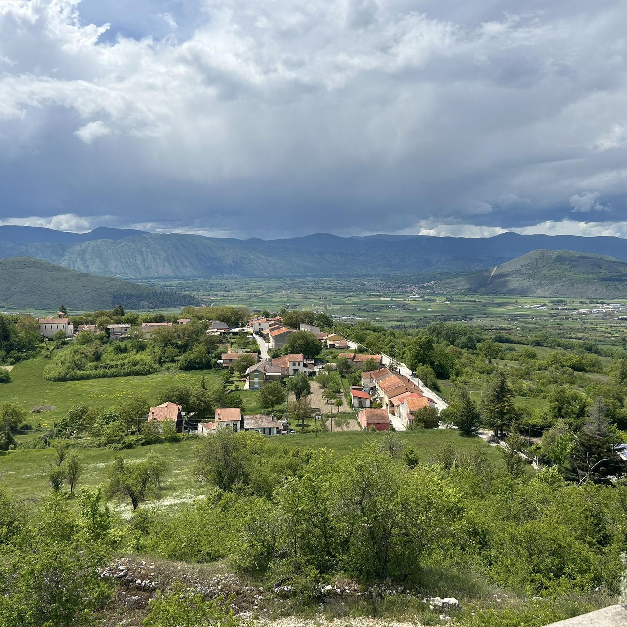
Running Trails around Borgorose
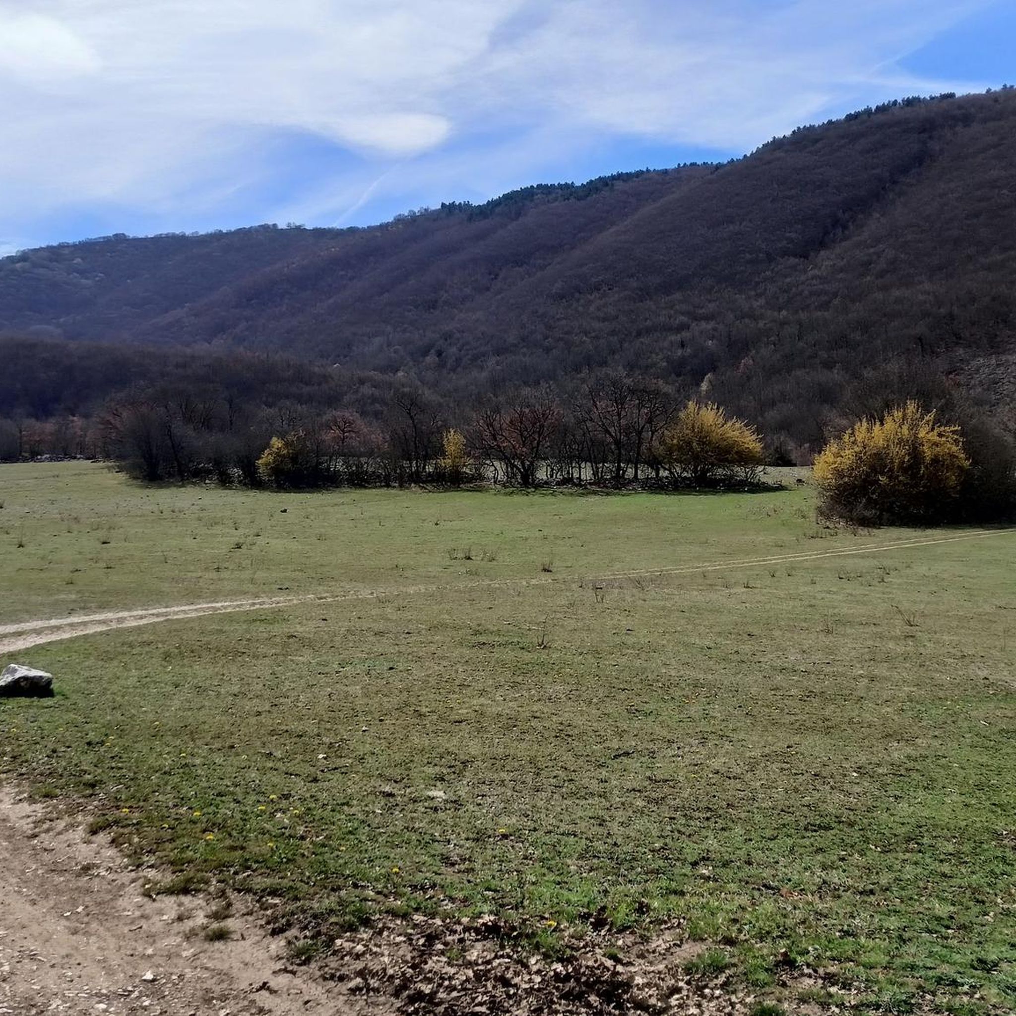
Hiking around Borgorose
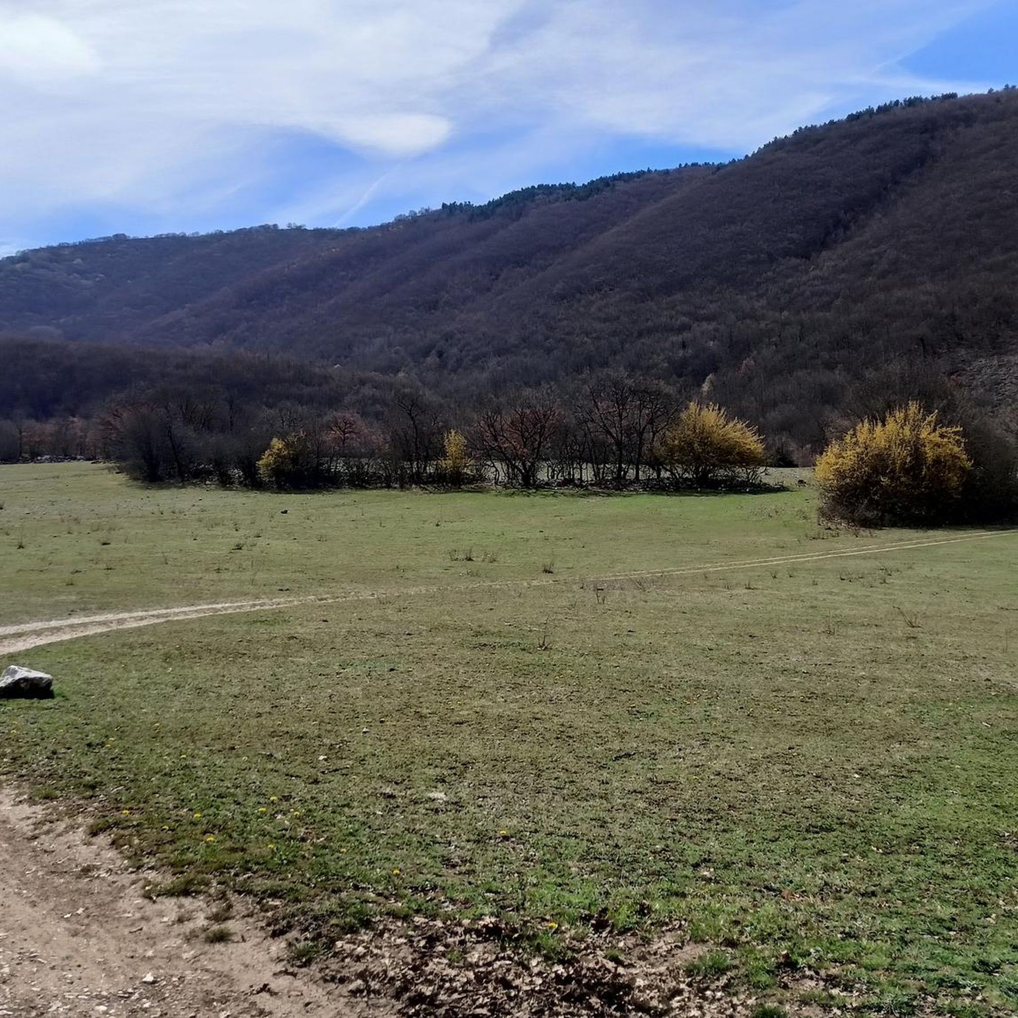
Road Cycling Routes around Borgorose
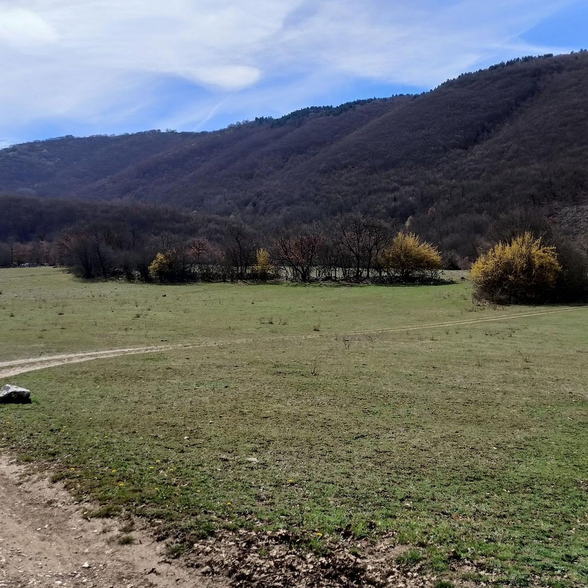
MTB Trails around Borgorose
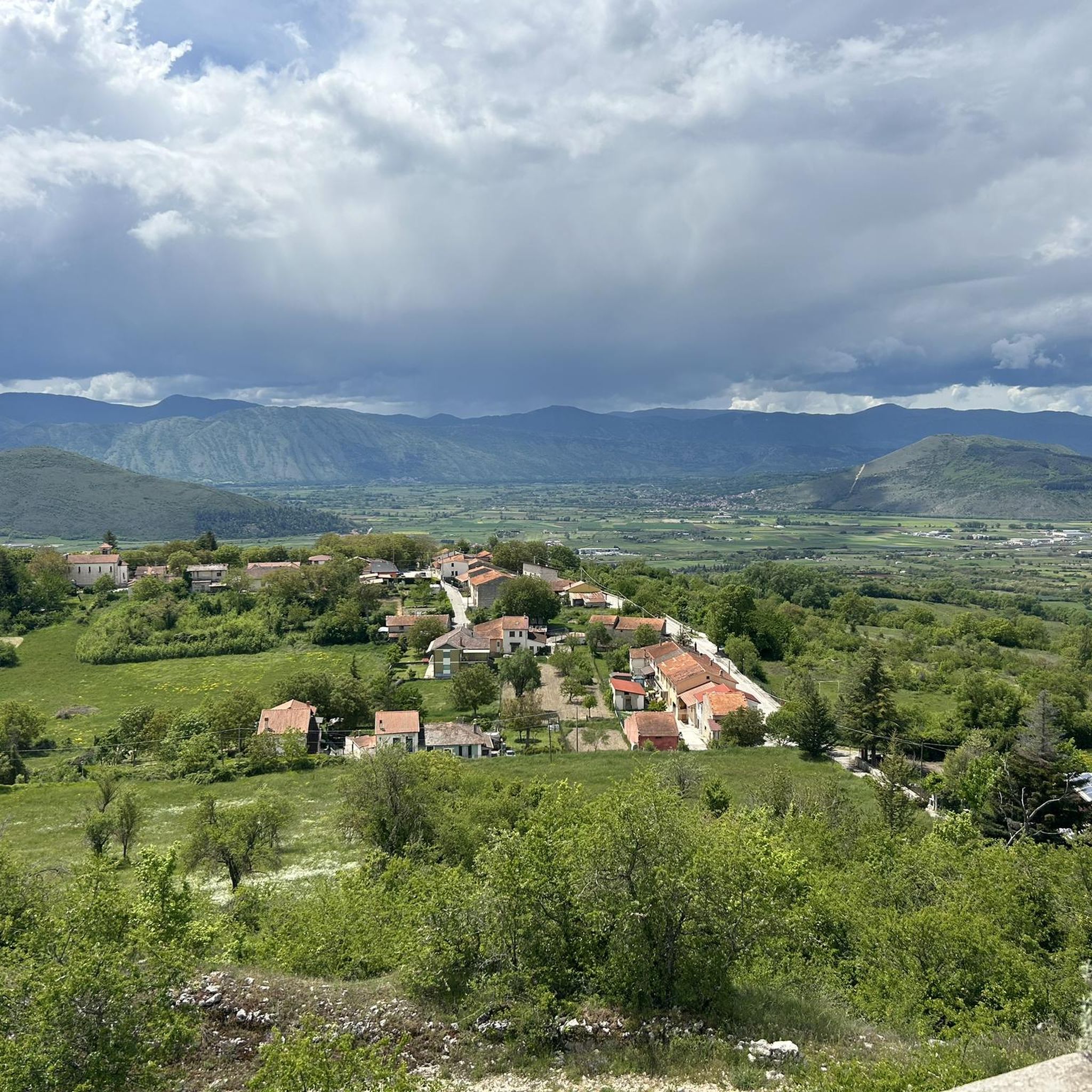
Cycling around Borgorose
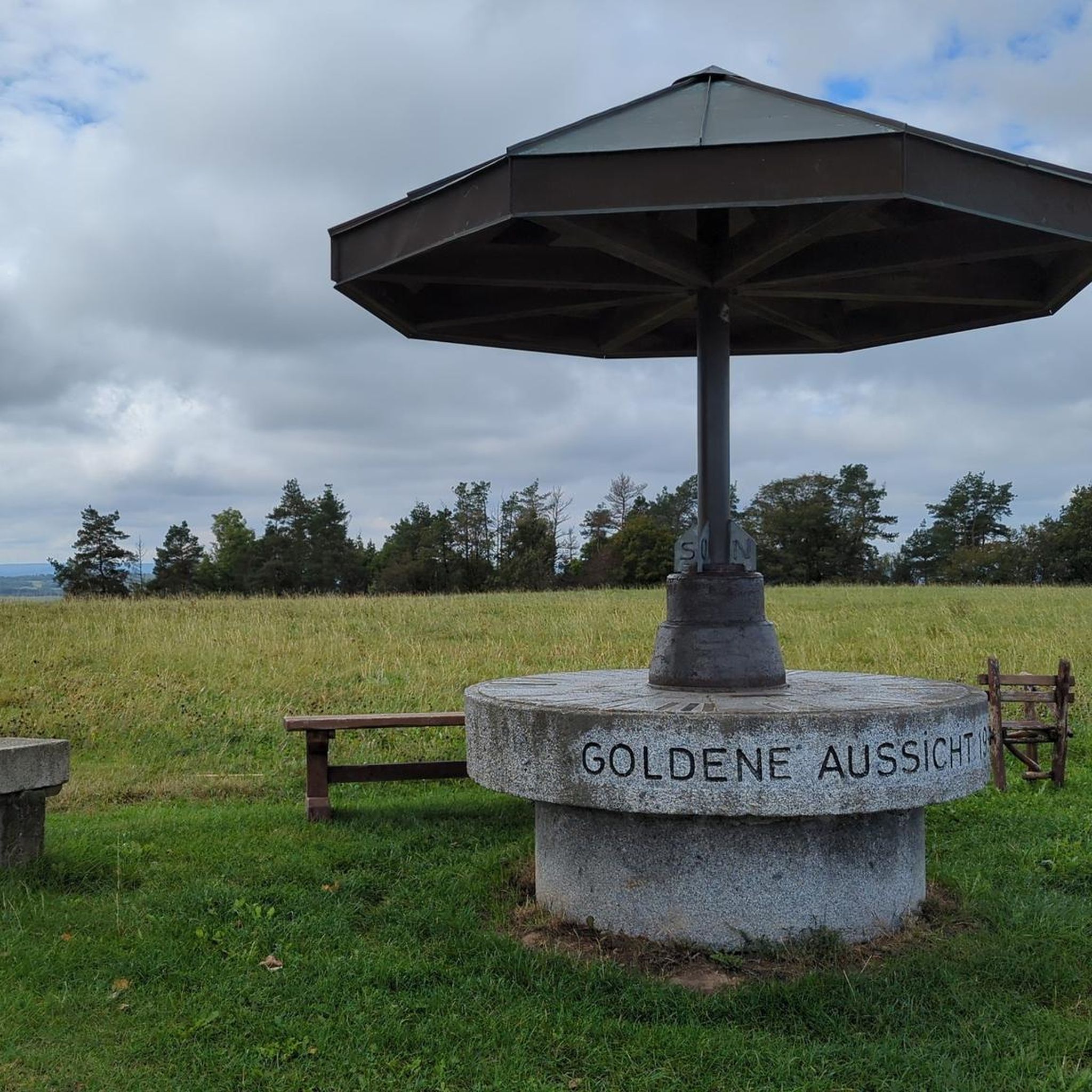
Gravel biking around Borgorose


Tips from the Community

beautiful and long circular excursion starting from the hamlet of Forme
2
0

Overview of Monte Velino from Bicchero
0
1

Monte Magnola is a mountain of 2220 meters, in the Sirente-Velino Regional Natural Park, in Abruzzo. It is located near the town of Ovindoli, and is a favorite destination for winter sports and trekking enthusiasts. It offers breathtaking views of the Rocche plateau and Mount Sirente.
0
0
Monte di Sevice is a peak in the Abruzzo Apennines, in the Monte Velino massif, in the Sirente-Velino Regional Natural Park. It has a height of 2355 meters and forms a ridge with Monte Tre Sorelle, Monte Costognillo and Monte Velino.
0
0
Monte Cafornia is a mountain of 2424 meters, twin of Monte Velino, in the Sirente-Velino chain. It has an anterior summit called Pizzo Cafornia and can be reached from Forme or from Massa d'Albe.
2
0

“Each of these crosses can tell its own story and what prompted people to erect “their” cross at this point. (...) These wayside crosses were erected as visible signs and attract the attention of many people. The cross is a symbol of life. It stands as a sign of our Christian hope and wants to direct our gaze to Jesus Christ, who has overcome death (...). The cross is part of our life as it was in the life of Jesus. So I wish that many people … visit the crosses, whether as places of stillness and breathing space before God, whether as places for community gatherings, prayer and praise to God.” (Text source: Dean Rainald M. Ollig in: "Crossroads... small sacred monuments as a sign of popular piety")
3
3

Monte Velino is a mountain (2,487 m) in central Italy, located nearby the boundary with Lazio and Abruzzo. It is the highest peak in the sub-chain Velino-Sirente and the third highest peak in the whole Apennines chain.
0
0

Tough to conquer the top, for the length of the route. But the panorama repays every effort. Suggestive the iron cross that stands on the summit.
0
0
Frequently Asked Questions
What are some of the most notable mountain peaks to explore around Borgorose?
The region around Borgorose, nestled in the Apennines, offers several prominent peaks. Among them are Monte Velino Summit Cross, the highest in the Velino-Sirente sub-chain, known for its panoramic views. Another significant peak is the Summit of Monte Cafornia, a twin of Monte Velino, offering expansive vistas. Punta Trieste is also a popular choice, forming a ridge within the Sirente-Velino Regional Natural Park.
Are there challenging mountain hikes for experienced trekkers in the Borgorose area?
Yes, many of the peaks around Borgorose are considered challenging. For instance, the ascent to Monte Velino Summit Cross is known for its length and difficulty, though the panoramic reward is significant. Similarly, reaching the Summit of Monte Cafornia and Punta Trieste also involves challenging routes, often requiring good physical condition and preparation. You can find more challenging hiking routes in the Hiking around Borgorose guide.
What kind of views can I expect from the mountain peaks near Borgorose?
The mountain peaks around Borgorose are renowned for their breathtaking and panoramic views. From summits like Monte Velino Summit Cross, you can see vast stretches of the Apennines. Monte Magnola Summit offers stunning views of the Rocche plateau and Mount Sirente. These peaks provide excellent vantage points over the Sirente-Velino Regional Natural Park and the surrounding central Italian landscape.
Are there any mountain peaks suitable for intermediate hikers?
While many peaks are challenging, Monte Magnola Summit is categorized as intermediate to challenging, making it a good option for those with some hiking experience looking for a rewarding ascent. It's a popular destination for trekking enthusiasts within the Sirente-Velino Regional Natural Park.
What other outdoor activities can I do near the mountain peaks of Borgorose?
Beyond hiking, the Borgorose region offers various outdoor activities. You can explore numerous cycling routes, including road cycling and touring bicycle options. For detailed routes, refer to the Road Cycling Routes around Borgorose and Cycling around Borgorose guides. The area is also popular for winter sports, especially around peaks like Monte Magnola.
What is the best time of year to hike the mountain peaks around Borgorose?
The best time to hike the mountain peaks around Borgorose is generally from late spring to early autumn (May to October). During these months, the weather is typically more stable, with less snow at higher altitudes, making trails more accessible. Summer offers warmer temperatures, while spring and autumn provide pleasant conditions and vibrant natural scenery.
Are there any religious or historical monuments on the mountain peaks?
Yes, some peaks feature significant markers. For example, Monte Velino Summit Cross is notable for its distinctive iron cross at the summit. Similarly, Il Costone Summit Cross also features a summit cross, which serves as a viewpoint and a man-made monument with religious significance, reflecting local traditions and piety.
What do visitors particularly enjoy about the mountain peaks in the Borgorose area?
Visitors frequently praise the challenging yet rewarding nature of the ascents and the spectacular panoramic views from the summits. The unique experience of reaching a peak like Monte Velino Summit Cross, with its iconic iron cross, is often highlighted. The natural beauty and the sense of accomplishment after a tough climb are also highly valued by the komoot community.
Can I find circular hiking routes that include some of these peaks?
Yes, circular routes are available. For instance, a popular circular excursion starts from the hamlet of Forme to reach Monte Velino Summit Cross. The Hiking around Borgorose guide lists several loop trails, such as the 'Duchess Lake – Cartore Village loop from Cartore', which allow for comprehensive exploration of the area's natural beauty.
What kind of natural environment characterizes the mountain peaks around Borgorose?
The mountain peaks around Borgorose are situated within the Apennines chain, specifically the Sirente-Velino Regional Natural Park. This area is characterized by rugged mountainous terrain, diverse flora and fauna, and pristine natural landscapes. Hikers can expect to encounter varied ecosystems, from forested lower slopes to rocky, exposed high-altitude environments, offering a true immersion in nature.
Are there any specific tips for preparing for a hike to these mountain peaks?
Given the challenging nature of many peaks, it's advisable to prepare adequately. Tips from experienced hikers include starting early for long routes, carrying sufficient water and supplies, and checking weather forecasts. The routes can be long and demanding, so good physical condition and appropriate gear are essential for a safe and enjoyable experience. Consider starting from hamlets like Forme or Massa d'Albe for specific peak ascents.
Where can I find more detailed hiking routes for the Borgorose peaks?
For detailed hiking routes, including distances and difficulty grades, you should consult the Hiking around Borgorose guide. It features various trails, such as 'From Cartore to Lake Duchessa - ring tour' and 'Cartore – Gigi Panei Bivouac loop from Cartore', which provide comprehensive information for planning your adventure.
Most popular attractions around Borgorose

Get inspired with the komoot mobile app


Explore more
See even more amazing summits around Borgorose with these guides:
