The best walks and hikes around Bassano Romano
4.2
(925)
3,907
hikers
189
hikes
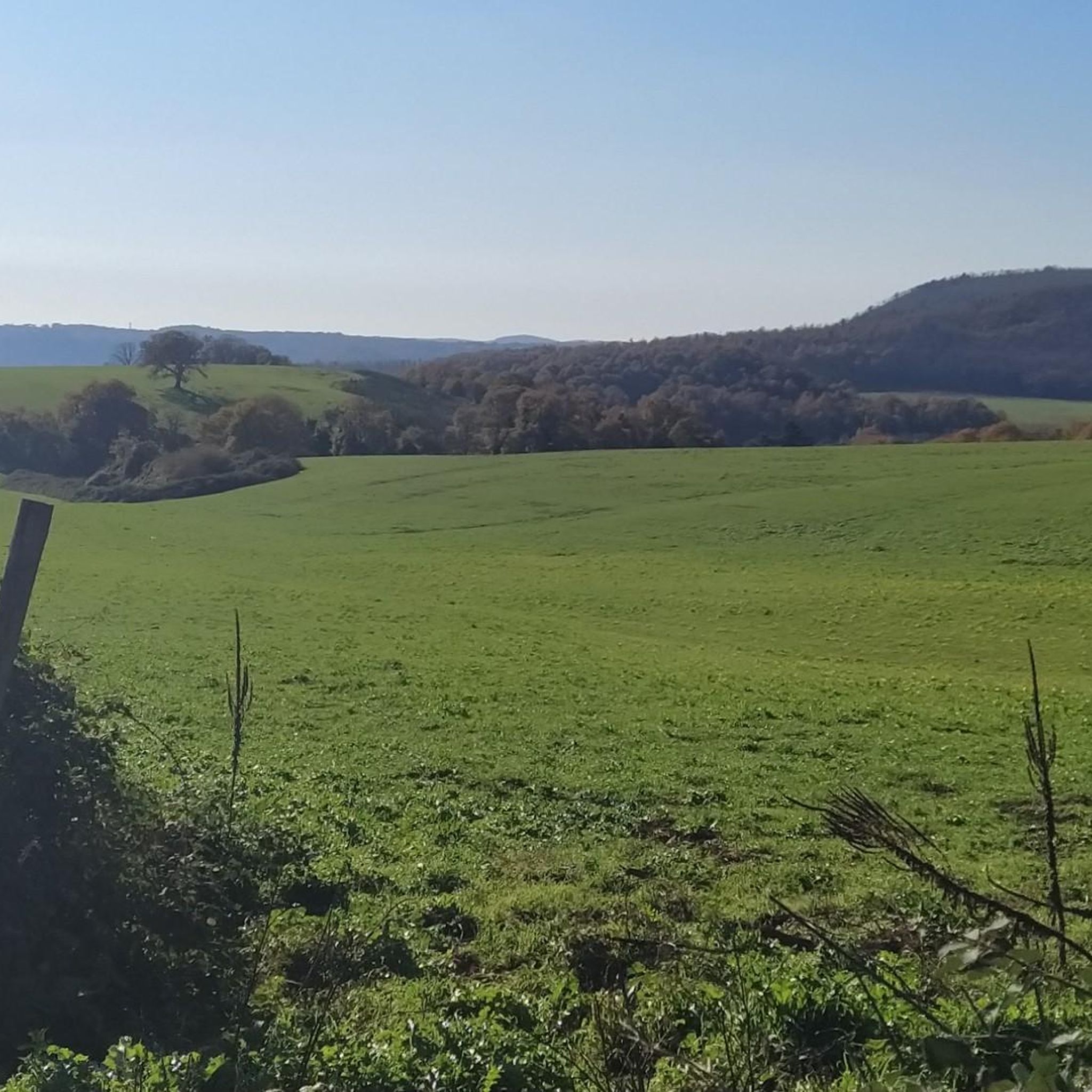
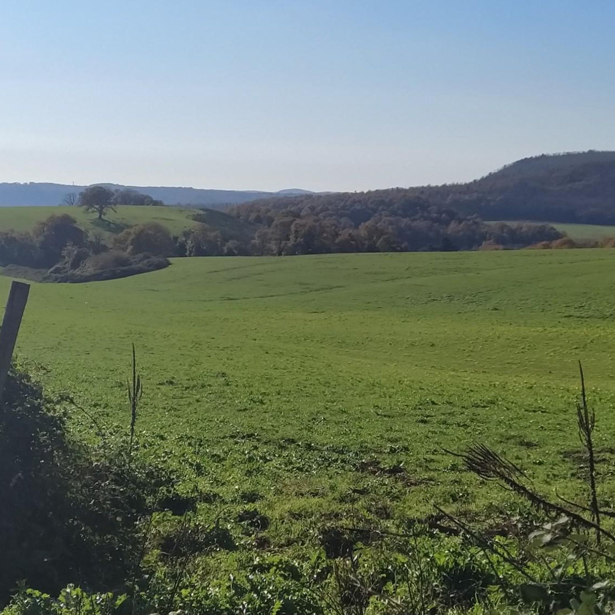
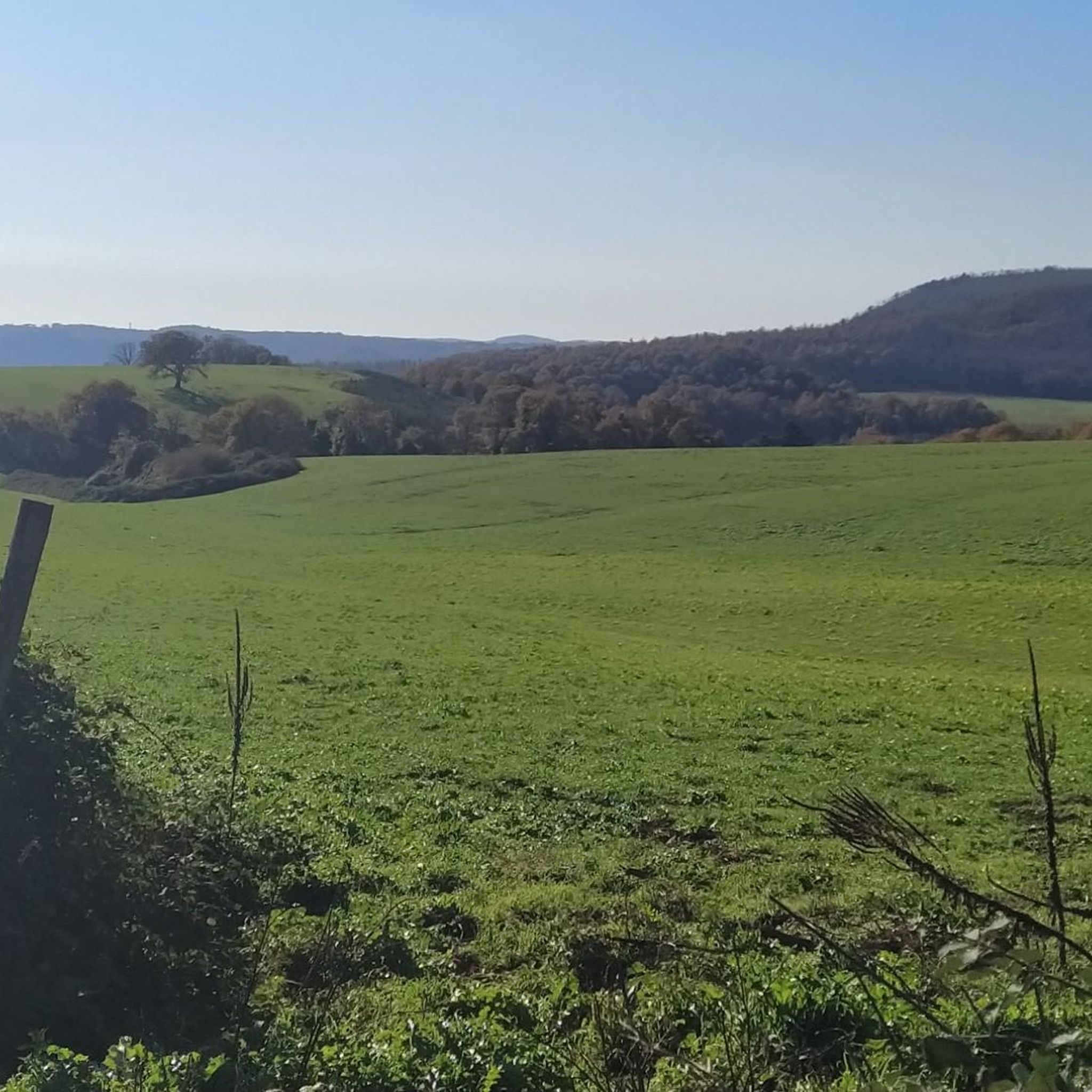
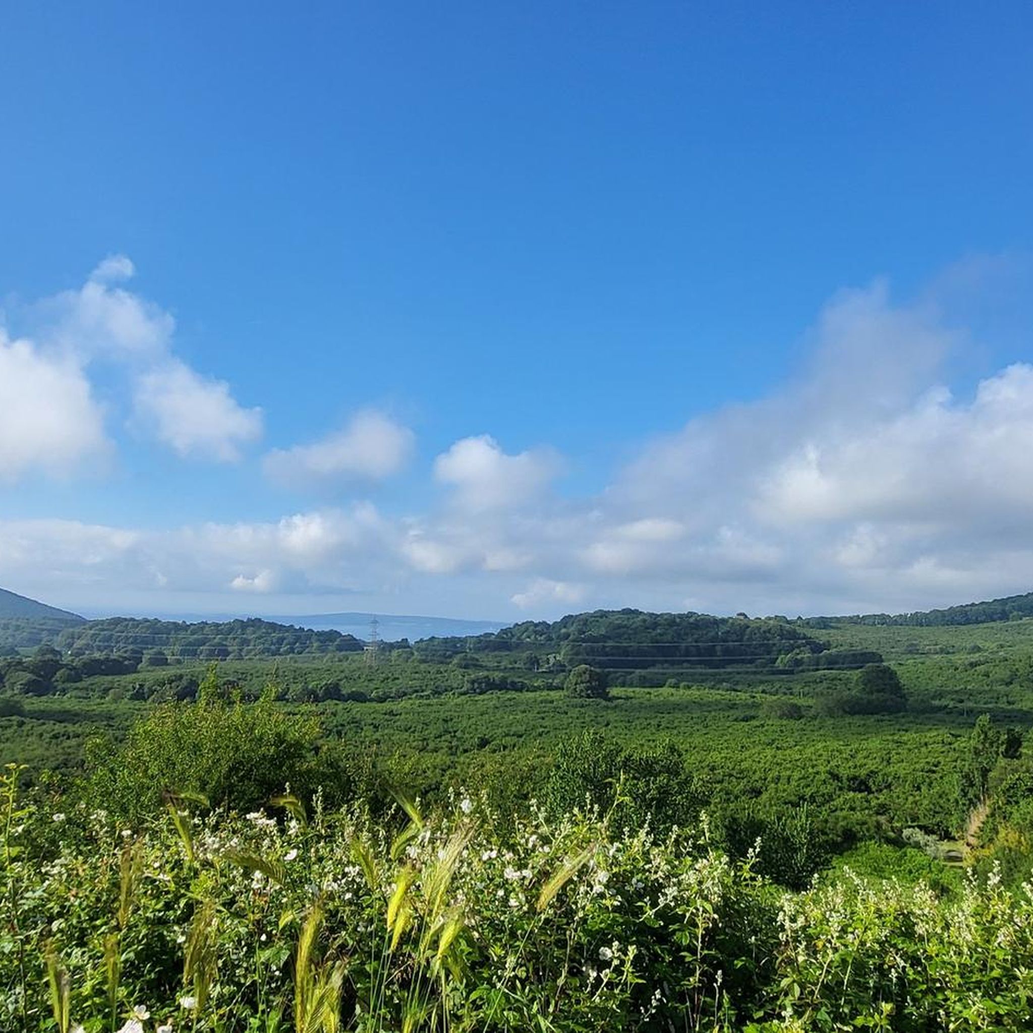
Hiking around Bassano Romano offers diverse landscapes within the Lazio region of Italy, characterized by gentle hills, dense forests, and varied terrain. The area features picturesque water elements, including waterfalls and proximity to Lake Bracciano and Lake Martignano. Situated within the Sabatini Mountains, the region provides a mix of paths through meadows, vineyards, and shaded woods. Bassano Romano is also part of the Regional Natural Park of Bracciano and Martignano, contributing to its rich natural environment for outdoor exploration.
Best…
Last updated: August 15, 2026
4.3
(113)
609
hikers
23.9km
06:30
320m
300m
Hard hike. Very good fitness required. Easily-accessible paths. Suitable for all skill levels.
3
hikers
7.43km
01:57
50m
60m
Easy hike. Great for any fitness level. Easily-accessible paths. Suitable for all skill levels.

Sign up for free
4.6
(7)
25
hikers
Embark on an easy hike from Sutri, a route particularly suitable for children and all fitness levels. This scenic trail spans 4.0 miles (6.4 km) with a gentle elevation gain…
4.5
(19)
41
hikers
9.98km
02:43
130m
130m
Moderate hike. Good fitness required. Mostly accessible paths. Sure-footedness required.
4.8
(24)
109
hikers
13.9km
03:46
200m
200m
Moderate hike. Good fitness required. Easily-accessible paths. Suitable for all skill levels.
Get access to more routes and recommendations from other explorers.
Sign up for free
Already have an account?
Our route recommendations are based on thousands of hikes, rides, and runs completed by other people on komoot.
Start today with a free account
Your next adventure awaits.
Login or Signup

Tips from the Community

Beautiful place to visit
0
0

Built by order of Innocent XIII, it mirrors the Tower of the Winds of the Quirinale Palace, erected in 1723 by the same Pope. It would seem that the Sutrina Tower is a year older than the one on the Quirinale, almost as if the Pope wanted to do a dress rehearsal here. It is located above a Roman arch from the Republican era. (c) https://comune.sutri.vt.it/vivere-il-comune/luoghi/la-torre-dellorologio/
0
0

Very beautiful path, almost entirely flat
1
0

At this point the path runs alongside the Fosso Mazzano which creates lush waterfalls surrounded by nature.
0
0

"The Sutri wood is located near the same village of this town: it is a real green and uncontaminated space. Specifically it is defined as semi-integral, in fact if a tree falls, for example, it is left there and nature can proliferate without being controlled ". Source: https://www.viagginews.com/
1
0

It is said to be from Etruscan times, carved in stone to form the way to the Necropolis... Different from Roman ways, sinuous, cold and deep.. Really impressive!
1
0
A magnificent view of this incredible city, from the via francigena towards Sutri.
2
0
Frequently Asked Questions
How many hiking trails are available around Bassano Romano?
There are over 160 hiking trails in the Bassano Romano area, offering a wide range of options for different skill levels and preferences. You'll find everything from easy walks to more challenging excursions.
What kind of terrain can I expect on hikes near Bassano Romano?
The terrain around Bassano Romano is quite diverse, featuring gentle hills, dense forests, meadows, and vineyards. Many trails offer shaded paths through the undergrowth, particularly in areas like the Stracciacappello Beech Forest. The region is nestled within the Sabatini Mountains, contributing to its varied topography.
Are there any hikes that feature waterfalls in the Bassano Romano area?
Yes, the area is known for its picturesque water features. You can explore routes that lead to waterfalls, such as the View of Capranica – Fosso Mazzano Waterfalls loop from Sutri, which takes you past the beautiful Fosso Mazzano Waterfalls.
Are there family-friendly hiking options suitable for children?
Absolutely. Bassano Romano offers several easy walks perfect for families. A great option is the Walk from Sutri towards the waterfalls and the secret Etruscan path - suitable for children, which is an easy 6.4 km trail featuring waterfalls and an ancient path.
What are some interesting landmarks or natural features to see while hiking?
Hikers can discover a variety of landmarks and natural features. The region is part of the Regional Natural Park of Bracciano and Martignano, offering diverse environments. You might encounter historical sites like the Historic Center of Sutri or the Historic center of Bracciano. Natural highlights include Lake Bracciano and various viewpoints offering stunning vistas, such as the Viewpoint over Trevignano Romano.
Are there any circular hiking routes available?
Yes, many routes in the Bassano Romano area are designed as loops, allowing you to start and end at the same point. For example, the Via Francigena – Sutri – Off-Trail Area loop from Sutri is a moderate circular hike that follows a section of the historic Via Francigena.
What do other hikers enjoy most about hiking in Bassano Romano?
The hiking trails around Bassano Romano are highly rated by the komoot community, with an average score of 4.3 stars from over 800 reviews. Hikers often praise the diverse landscapes, the tranquility of the shaded forests, and the scenic beauty of the waterfalls and lakes.
Can I bring my dog on the hiking trails?
Many trails in the Bassano Romano area are dog-friendly, allowing you to enjoy the outdoors with your canine companion. However, it's always recommended to check specific trail regulations or local signage, especially within protected areas like the Regional Natural Park of Bracciano and Martignano, and to keep your dog on a leash.
What is the best time of year to go hiking in Bassano Romano?
The spring and autumn months generally offer the most pleasant conditions for hiking in Bassano Romano, with mild temperatures and beautiful natural colors. Summer can be warm, but many trails are shaded by dense forests, providing relief from the sun. Winter hiking is also possible, though some paths might be muddy.
Are there any hikes that offer views of the lakes?
Yes, given its proximity to Lake Bracciano and Lake Martignano, several hikes offer scenic views of these water bodies. You can find viewpoints like the Balcony overlooking Lake Bracciano, providing stunning vistas of the surrounding landscape and the lake itself.
Are there any challenging hikes for experienced hikers?
While Bassano Romano is known for its accessible trails, there are options for more experienced hikers seeking a challenge. The region offers 15 difficult routes, often featuring greater elevation gains and longer distances, particularly within the varied topography of the Sabatini Mountains.
Most popular routes around Bassano Romano
Most popular attractions around Bassano Romano

Get inspired with the komoot mobile app


Explore more
Browse the best Hikes in other regions.
