The best road cycling routes around Paglieta
4.1
(223)
4,637
riders
175
rides
Road cycling routes around Paglieta traverse a landscape characterized by rolling hills, coastal stretches along the Adriatic Sea, and river valleys. The region features a mix of agricultural land and small towns, with routes often connecting historical sites and scenic viewpoints. Elevation changes are common, ranging from gentle coastal paths to more challenging climbs inland.
Best road cycling routes around Paglieta
- The most popular road cycling route is From Torino di Sangro to Tornareccio via Atessa - Ring tour,…
Last updated: July 5, 2026
4.8
(48)
553
riders
Moderate road ride. Good fitness required. Mostly well-paved surfaces and easy to ride.
5.0
(2)
92
riders
Moderate road ride. Good fitness required. Mostly well-paved surfaces and easy to ride.

Sign up for free
5.0
(2)
77
riders
90.9km
04:28
1,240m
1,240m
Hard road ride. Very good fitness required. Mostly well-paved surfaces and easy to ride.
4.4
(5)
77
riders
Moderate road ride. Good fitness required. Some segments of this route may be unpaved and difficult to ride.
42
riders
59.0km
03:18
960m
960m
Hard road ride. Very good fitness required. Some segments of this route may be unpaved and difficult to ride.
Get access to more routes and recommendations from other explorers.
Sign up for free
Already have an account?
Our route recommendations are based on thousands of hikes, rides, and runs completed by other people on komoot.
Start today with a free account
Your next adventure awaits.
Login or Signup

Tips from the Community

The Ciclovia Adriatica in Abruzzo (better known as Bike to Coast) is a 131-kilometer cycle path that covers the entire coastline of the Abruzzo region. The route runs from Martinsicuro (coastal border with Marche) to San Salvo (border with Molise). The route is mostly flat, mostly car-free, and crosses 19 coastal municipalities.
3
0
Interesting facts about the location: Family heirloom: this specific trabocco was built in 1887 by the Verì family. To this day, the structure is still in the hands of their great-grandchildren. Floating restaurant: Nowadays, the platform serves as a unique fish restaurant. You literally dine on a wooden platform above the waves. In the middle of the restaurant, there is even a section of transparent glass floor that allows you to see the Adriatic Sea splashing beneath your feet while you eat. Marathon lunch: If you want to eat here, you need to significantly adjust your Komoot planning. They work with an extensive fixed fish menu (approx. €60 - €70 p.p.) of no less than 11 courses. Lunch starts punctually at 1:00 PM for all guests simultaneously and lasts at least 3 hours. Plan your time and enjoy !
3
0
Imagine: the Adriatic Sea shimmering beside you, a fresh sea breeze on your face, and an endless cycle path winding along the coast. The Via Verde dei Trabocchi is one of those routes where you don't really want the ride to end. This cycle path, over 50 kilometers long and largely flat, follows a former railway line and takes you along one of the most beautiful coastal stretches of Abruzzo. Along the way, you'll pass the iconic trabocchi: impressive wooden fishing platforms that seem to float on the sea on stilts. With their long arms and nets, they stand out against the horizon like gigantic wooden works of art. Thanks to the flat course, this route is suitable for almost everyone, from recreational cyclists to avid mileage eaters. Along the way, charming beaches, atmospheric villages, and countless spots beckon where you can stop for an espresso, an ice cream, or a fresh fish lunch with a sea view. The Via Verde dei Trabocchi is not just a cycle path, but an experience that effortlessly combines nature, culture, and relaxation. A route you must cycle at least once.
3
0
Even a short stop? Absolutely worth it. At Trabocco Punta Torre, a special fishing structure from 1850, time almost seems to stand still. The enormous wooden arms, cables, and nets are still used today for traditional net fishing, exactly as it happened generations ago. What makes this place extra special is the warm welcome from manager Claudio. Passers-by and cyclists are regularly spontaneously invited to take a look. With visible enthusiasm, he explains how the ingenious system works and how the nets are lowered into the Adriatic Sea via a mechanical lifting mechanism. A short stop that not only lets you experience a piece of history but also provides an encounter that you will remember for a long time.
3
0

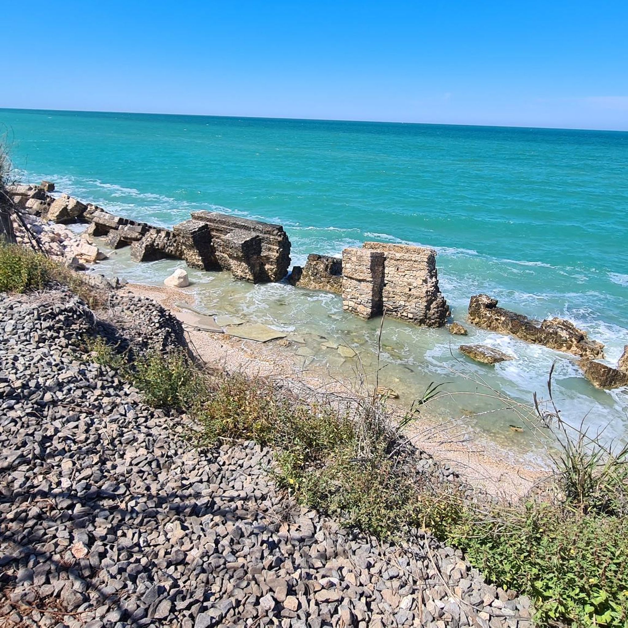
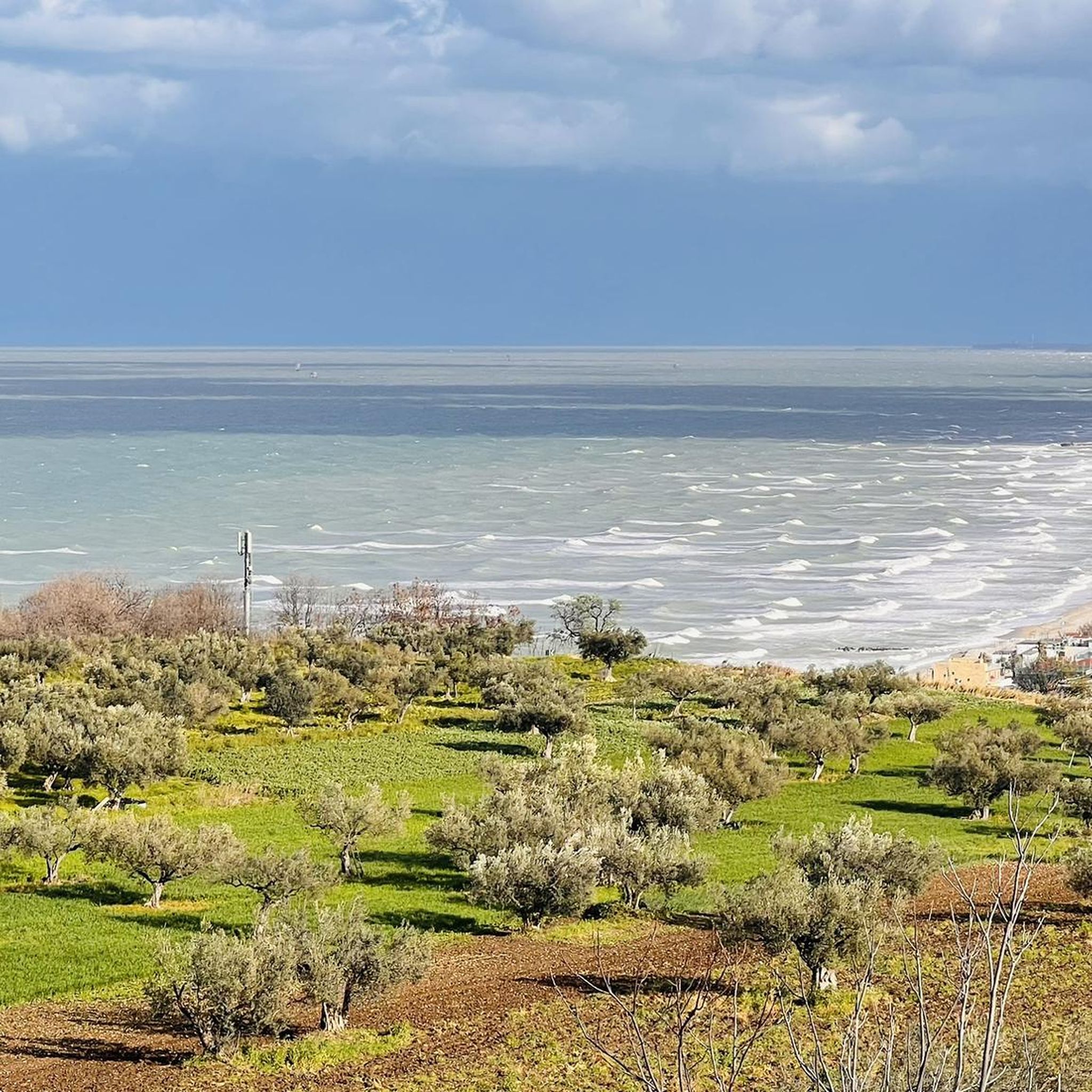
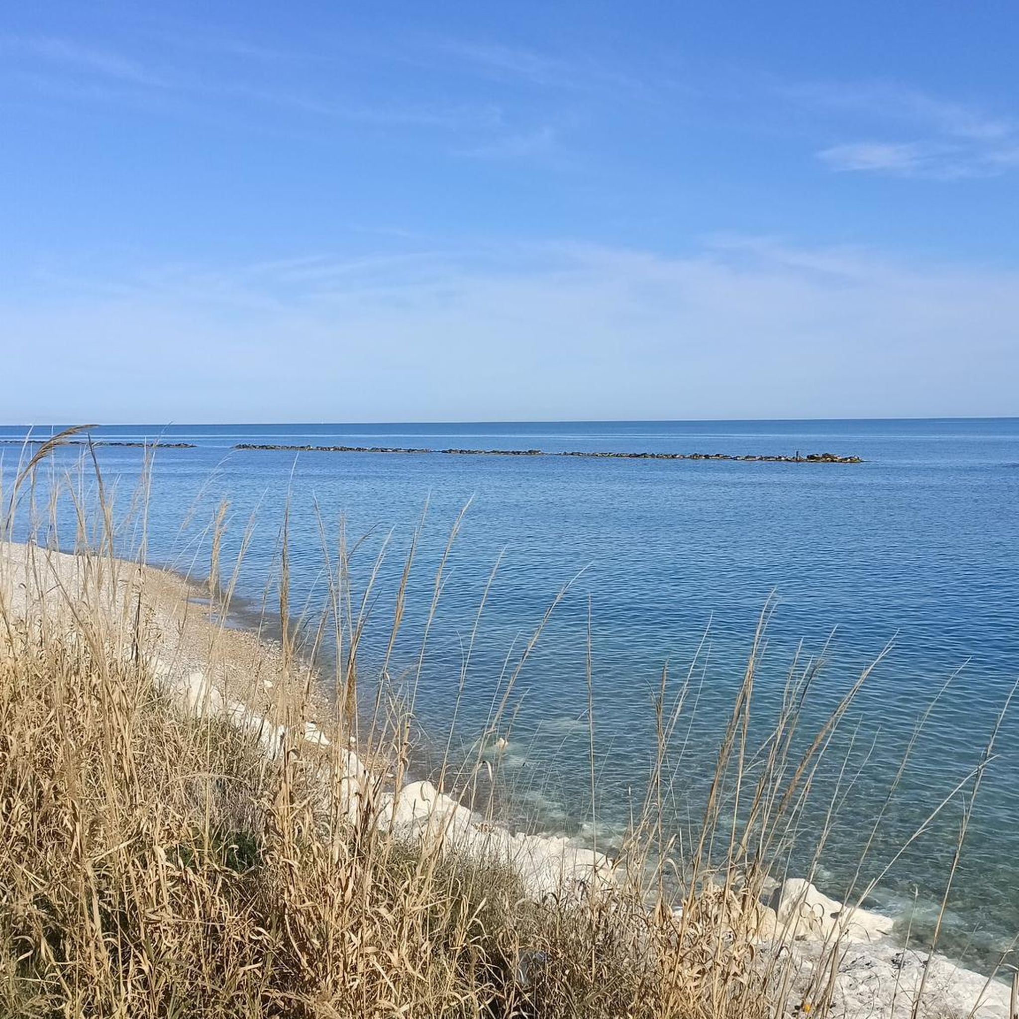
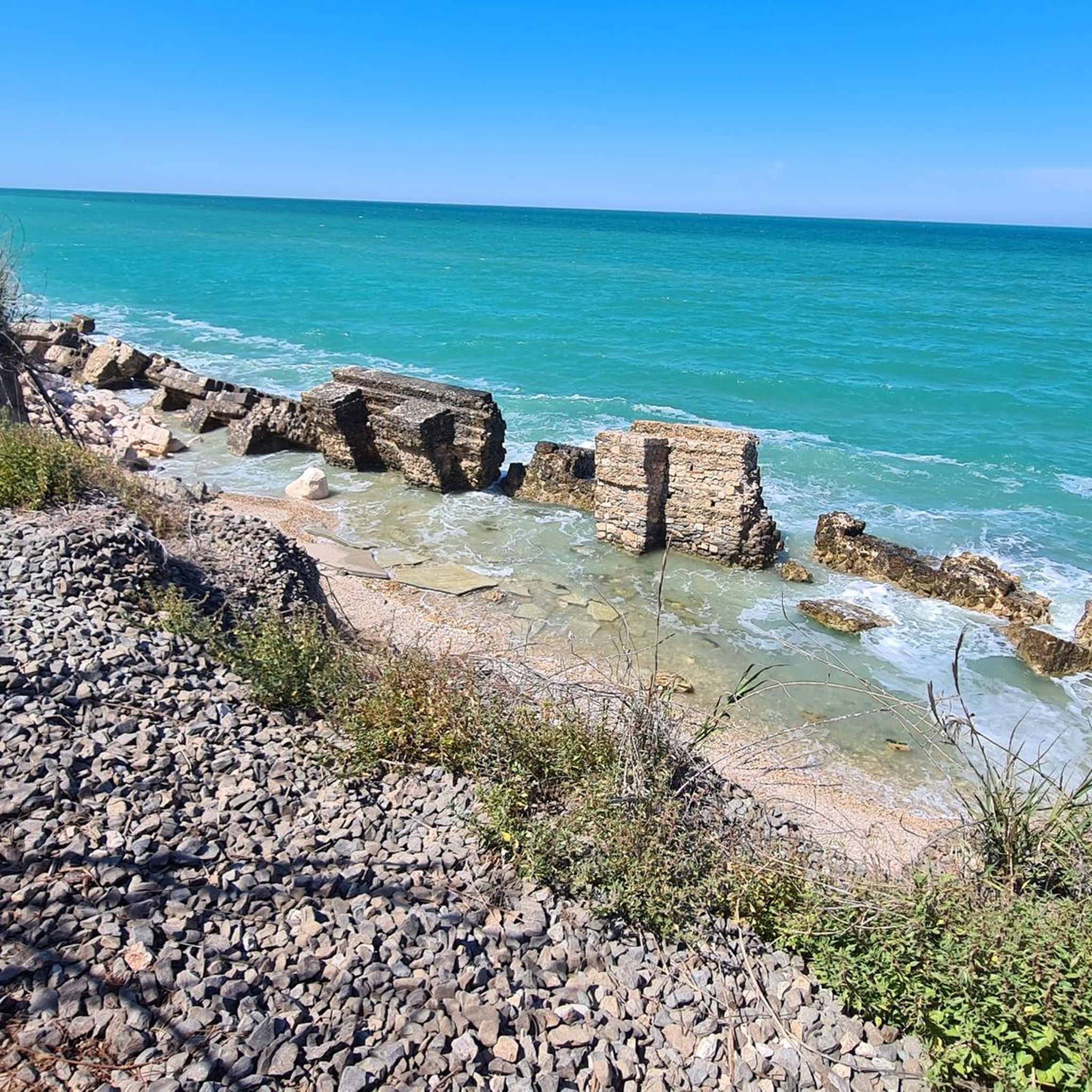
beautiful view of the mouth of the Sangro River.
0
0

It is one of the best Trabocchi
0
0

The view and surface are top-notch. Quiet and traffic-free.
0
0

One of the many overflows on this cycle path
0
0
Frequently Asked Questions
How many road cycling routes are available around Paglieta?
Paglieta offers a wide selection of road cycling routes, with over 170 tours available. These routes cater to various skill levels, from moderate coastal loops to challenging inland climbs.
Are there road cycling routes suitable for beginners in Paglieta?
Yes, Paglieta has routes suitable for beginners. While many routes feature elevation changes, there are 11 easy routes that offer a gentler introduction to road cycling in the region. These often follow coastal paths or less demanding inland sections.
What kind of terrain can I expect on road cycling routes near Paglieta?
Road cycling routes around Paglieta traverse a diverse landscape. You'll encounter rolling hills, scenic coastal stretches along the Adriatic Sea, and river valleys. The terrain often includes agricultural land and connects small towns, with elevation changes being common, ranging from gentle paths to more challenging climbs inland.
What are some of the more challenging road cycling routes in Paglieta?
For experienced cyclists seeking a challenge, Paglieta offers 86 difficult routes. A notable option is the From Torino di Sangro to Tornareccio via Atessa - Ring tour, which is 68.3 km long with over 1000 meters of elevation gain. Another demanding route is the Lake Bomba – Mouth of the Sangro River loop from Torino di Sangro, covering 90.9 km with over 1200 meters of ascent.
Are there any loop road cycling trails around Paglieta?
Yes, many road cycling routes in Paglieta are designed as loops, allowing you to start and end in the same location. Examples include the Ortona's Aragonese Castle – Francavilla al Mare Seafront loop from Fossacesia-Torino di Sangro and the Ortona's Aragonese Castle – Via Verde dei Trabocchi loop from Torino di Sangro, both offering coastal views and historical landmarks.
What interesting landmarks or attractions can I see along the road cycling routes?
Many routes pass by historical sites and scenic viewpoints. Along the coast, you can see the traditional fishing structures known as Trabocchi, such as Trabocco Punta Torre and Trabocco Spezzacatene. Further inland, you might encounter historical buildings like the Abbey of St John in Venere.
What do other road cyclists think about the routes in Paglieta?
The road cycling routes in Paglieta are highly regarded by the komoot community, with an average rating of 4.2 stars from nearly 200 reviews. Cyclists often praise the varied terrain, from coastal paths to challenging climbs, and the opportunities to explore historical sites and scenic viewpoints.
Are there any scenic viewpoints accessible by road bike in Paglieta?
Yes, the region is known for its scenic viewpoints. Routes often connect areas offering panoramic views of the Adriatic Sea, the rolling hills, and the river valleys. The coastal routes, in particular, provide continuous picturesque vistas.
What is the best time of year for road biking in Paglieta?
The Mediterranean climate of Paglieta generally offers pleasant conditions for road biking for much of the year. Spring and autumn typically provide mild temperatures and less crowded routes, making them ideal for exploring the region's diverse landscapes.
Are there any routes that follow the coast or offer sea views?
Absolutely. Paglieta's road cycling network includes numerous routes that hug the Adriatic coastline, providing stunning sea views. The Ortona's Aragonese Castle – Via Verde dei Trabocchi loop from Torino di Sangro is a great example, leading through coastal areas and along the scenic Via Verde dei Trabocchi.
What are the typical distances for road cycling routes in Paglieta?
Road cycling routes in Paglieta vary significantly in distance. You can find shorter loops, but many popular routes range from 60 km to over 90 km. For instance, the Ortona's Aragonese Castle – Francavilla al Mare Seafront loop is 76.8 km, while the Lake Bomba – Mouth of the Sangro River loop extends to 90.9 km.
Are there any routes that pass through historical towns or villages?
Yes, many road cycling routes in Paglieta are designed to connect small towns and historical sites. The region's landscape features a mix of agricultural land and charming villages, allowing cyclists to experience local culture and history while riding. Routes often pass through or near towns like Atessa and Tornareccio.
Most popular attractions around Paglieta

Get inspired with the komoot mobile app


Explore more
Browse the best Road cycling routes in other regions.
