The best walks and hikes around Rechberghausen
4.7
(107)
800
hikers
39
hikes
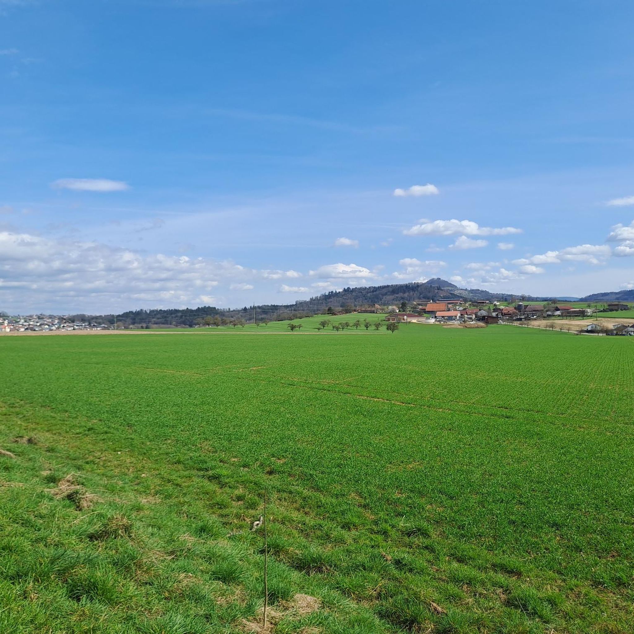
Hiking around Rechberghausen offers diverse terrain at the foot of the Swabian Alb, characterized by rolling hills, lush meadows, and dense forests. This geographical setting provides a mix of varied topography with gentle inclines and scenic vistas. The region features numerous natural elements such as the Schelmenklinge water features and the Tiefklinge, a notched valley formed by water erosion. These landscapes create an environment suitable for exploration on foot.
Best hiking trails around Rechberghausen
- The most popular hiking route is…
Last updated: June 28, 2026
4.5
(2)
45
hikers
Easy hike. Great for any fitness level. Easily-accessible paths. Suitable for all skill levels.
4.2
(5)
34
hikers
Moderate hike. Good fitness required. Easily-accessible paths. Suitable for all skill levels.

Sign up for free
4.9
(17)
34
hikers
Hard hike. Very good fitness required. Sure-footedness, sturdy shoes and alpine experience required.
4.0
(2)
19
hikers
Hard hike. Very good fitness required. Easily-accessible paths. Suitable for all skill levels.
4.5
(6)
30
hikers
6.26km
01:42
80m
80m
Easy hike. Great for any fitness level. Easily-accessible paths. Suitable for all skill levels.
Get access to more routes and recommendations from other explorers.
Sign up for free
Already have an account?
Our route recommendations are based on thousands of hikes, rides, and runs completed by other people on komoot.
Start today with a free account
Your next adventure awaits.
Login or Signup
Popular around Rechberghausen


Tips from the Community

Incredible... a flat stretch of land by an artificial lake. Hard to believe.
0
0

A lovely spot for a rest with a magnificent view.
1
0

A stunningly and idyllic reservoir with a fantastic circular hiking trail. Perfect for a stroll or hike.
1
0
A stunningly and idyllic reservoir with a fantastic circular hiking trail. Perfect for a stroll or hike.
1
0
Super nice circular path around the lake and a great ball run for the kids.
1
0

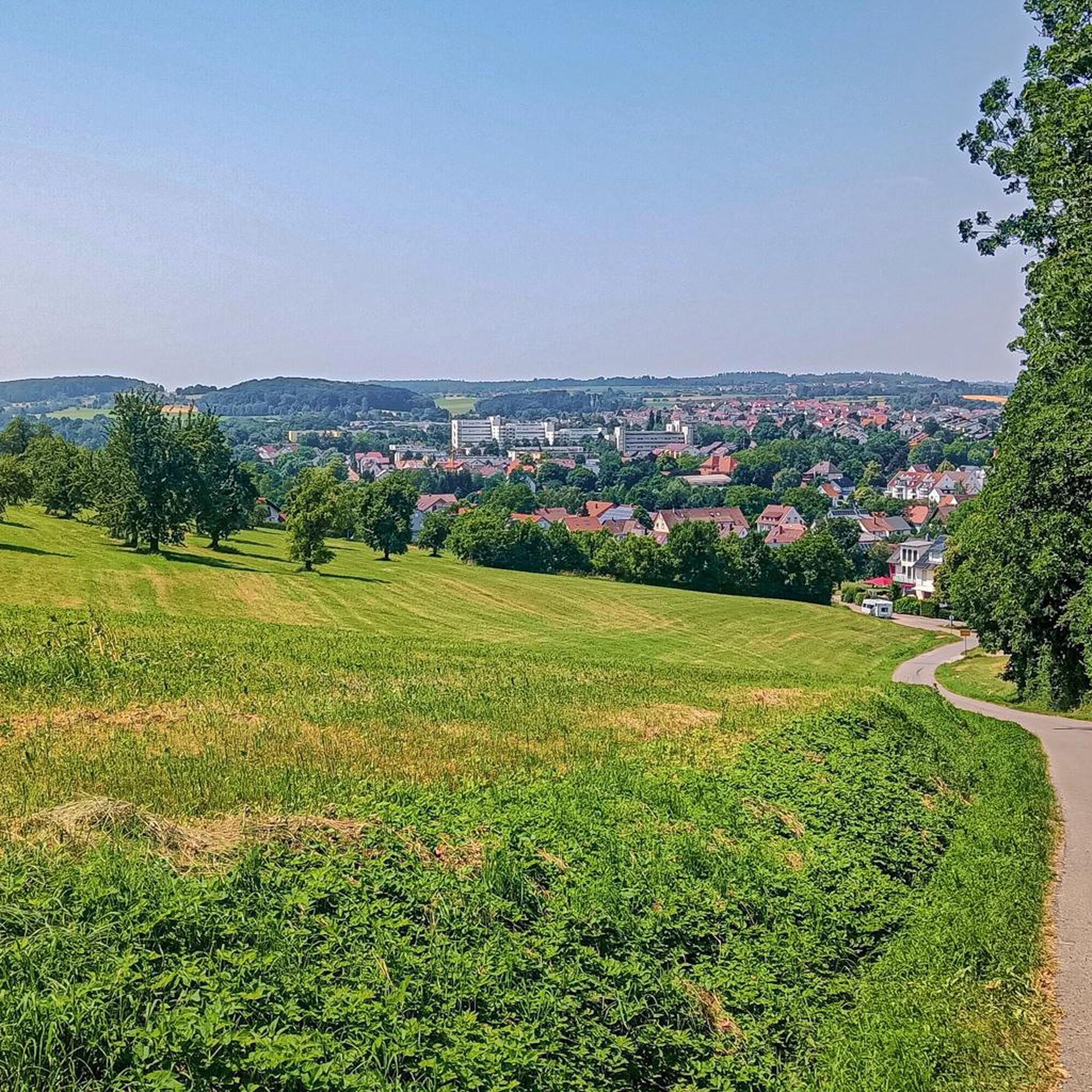
Here you can enjoy a beautiful view. A top view.
1
0
Here you can enjoy a beautiful view. A top view.
1
0
The monument somehow fits well here and makes you pause for a moment.
1
0
Frequently Asked Questions
How many hiking trails are available around Rechberghausen?
There are over 40 hiking trails around Rechberghausen, offering a variety of options for different preferences and skill levels. These include 25 easy routes, 12 moderate routes, and 3 more challenging trails.
What kind of terrain can I expect on hikes around Rechberghausen?
Hikes around Rechberghausen feature diverse terrain at the foot of the Swabian Alb. You'll encounter rolling hills, lush meadows, and dense forests. The region's topography offers a mix of gentle inclines and scenic vistas, with natural elements like the Schelmenklinge water features and the notched Tiefklinge valley.
Are there family-friendly hiking options in Rechberghausen?
Yes, Rechberghausen offers several family-friendly hiking options. The area around the Herrenbach Reservoir is particularly suitable, with a pleasant, wide path perfect for leisurely strolls and plenty to discover for families. Many of the 25 easy routes are also great for families.
Can I bring my dog on the hiking trails in Rechberghausen?
Many trails around Rechberghausen are suitable for dogs, especially those through forests and meadows. It's always recommended to keep your dog on a leash, particularly in nature reserves or areas with wildlife, and to respect local regulations. The wide paths around the Herrenbach Reservoir are often popular with dog owners.
Are there any circular hiking routes in Rechberghausen?
Yes, Rechberghausen is known for its well-documented circular routes. Options include the Marbach circular route, the Herrenbach circular route, the Sonnenberg circular route, and the circular route to Wangener Linde. A specific example is the Monastery Park at the Monastery – Herrenbach Reservoir loop from Rechberghausen, which is a moderate 9.3-mile (15.0 km) path.
What natural attractions or landmarks can I see while hiking?
Hikers can discover several natural attractions and landmarks. The region features the unique Herrenbach Reservoir, the Schelmenklinge with its rock formations and waterfalls, and the Tiefklinge, a notched valley. For historical sights, the Spielburg Rock Formation loop from Rechberghausen offers varied terrain with interesting rock formations.
What is the best time of year to go hiking in Rechberghausen?
The spring, summer, and autumn months are generally ideal for hiking in Rechberghausen, offering pleasant weather to enjoy the lush landscapes. The Albsteig trail is particularly recommended during the summer. While winter hikes are possible, some paths might be more challenging due to snow or ice.
Are there any viewpoints or panoramic vistas along the trails?
Yes, the region offers several scenic viewpoints. The Luftikus Observation Tower – Luftikus Observation Tower loop from Rechberghausen provides excellent views from the observation tower. Additionally, the Hohenstaufen castle ruins, accessible by foot, offer breathtaking panoramic views over the valley.
What do other hikers say about the trails in Rechberghausen?
The trails in Rechberghausen are highly rated by the komoot community, with an average score of 4.8 stars from over 70 reviews. Hikers often praise the varied terrain, the beauty of the Herrenbach Reservoir, and the well-maintained paths that cater to different ability levels.
Are there any historical sites to explore near the hiking routes?
Beyond natural beauty, hikers can encounter historical and listed buildings. The Hohenstaufen castle ruins, perched on a mountain peak, are a significant historical landmark offering panoramic views. Within Rechberghausen, you can also find the town hall in the New Castle, the Upper Gate, and the castle courtyard with its chapel.
Are there options for longer, more challenging hikes?
Yes, for those seeking more extensive or challenging hikes, Rechberghausen has options. Routes like the Spielburg Rock Formation loop from Rechberghausen, at 10.8 miles (17.4 km) with significant elevation, are considered difficult. The Albsteig trail also offers a more extensive hiking experience during the summer months.
Where can I find facilities like huts or shelters along the trails?
There are several huts and shelters available around Rechberghausen. Notable options include the Boller Heide Shelter and Barbecue Area, Rehhalden Hut, Eschenbacher Hut, and Lochdobel Hut, providing convenient resting spots during your hike.
Most popular routes around Rechberghausen
Most popular attractions around Rechberghausen

Get inspired with the komoot mobile app


Explore more
Browse the best Hikes in other regions.
