The best walks and hikes around Massa D'Albe
4.7
(279)
1,342
hikers
34
hikes
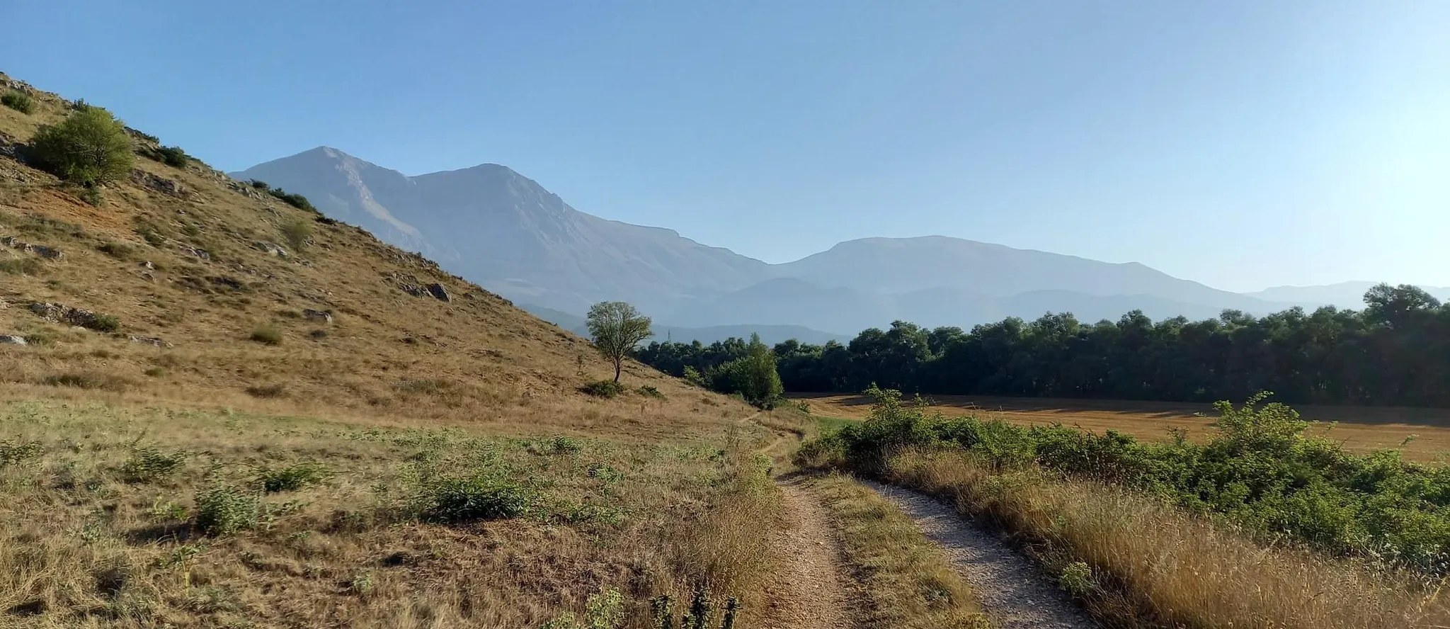
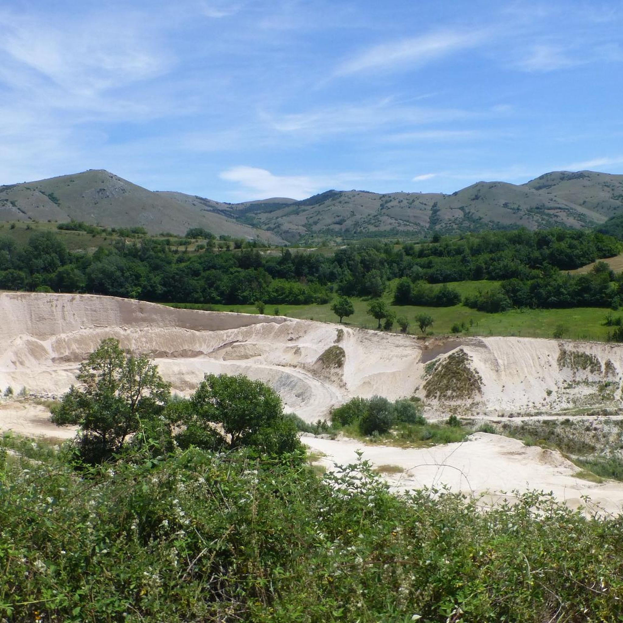
Hiking around Massa D'Albe offers diverse terrain within Italy's Abruzzo region, situated at the foot of Mount Velino and within the Sirente-Velino Regional Natural Park. The landscape is characterized by imposing mountains, tranquil forests, and expansive panoramic views. This area features a dramatic environment with significant peaks like Mount Velino (2487m) and Monte Cafornia (2424m), alongside picturesque valleys and protected natural habitats. The region provides a network of trails suitable for exploring its varied natural features.
Best hiking trails around…
Last updated: October 10, 2026
4.7
(26)
124
hikers
13.3km
07:43
1,330m
1,330m
Hike the difficult Monte Velino and Monte Cafornia loop from Rifugio Casale da Monte, gaining 4364 feet over 8.3 miles for panoramic views.
4.6
(14)
64
hikers
12.3km
07:15
1,260m
1,270m
Hike the challenging Monte Velino loop from Rifugio Casale da Monte, covering 7.6 miles with 4149 feet of gain for vast panoramas.

5.0
(2)
15
hikers
Hard hike. Good fitness required. Sure-footedness, sturdy shoes and alpine experience required.
4.2
(5)
23
hikers
19.1km
08:28
1,250m
1,250m
This difficult 11.9-mile loop from Rifugio Casale da Monte offers panoramic views of the Sirente-Velino Park and Monte Magnola.
4.6
(16)
61
hikers
13.6km
08:21
1,520m
1,520m
Hard hike. Very good fitness required. Sure-footedness, sturdy shoes and alpine experience required.
Get access to more routes and recommendations from other explorers.
Already have an account?
Our route recommendations are based on thousands of hikes, rides, and runs completed by other people on komoot.
Start today with a free account
Your next adventure awaits.

Other adventures around Massa D'Albe

Tips from the Community

to stock up on water before the climb!
0
0

Beautiful view but challenging to get there
0
0

Short via ferrata but not suitable for those who suffer from vertigo. Important to do it one at a time so as not to unbalance the other.
0
0
Important equipment and technical clothing. Short via ferrata but not suitable for those who suffer from vertigo.
0
0

beautiful and long circular excursion starting from the hamlet of Forme
2
0

Overview of Monte Velino from Bicchero
0
1

Statuette of the Madonnina, located on the slopes of Monte Velino, at about 1500 meters above sea level.
0
0
The climb is hard and demanding, but the effort will be rewarded by the panorama that can be enjoyed from the summit of Monte Velino, at an altitude of 2487 metres.
0
0
Frequently Asked Questions
How many hiking trails are there around Massa D'Albe?
Massa D'Albe offers a wide network of over 30 hiking trails. The majority, about 24, are considered difficult, while 8 are moderate, providing options for various skill levels within the stunning Sirente-Velino Regional Natural Park.
What kind of terrain can I expect on hikes in Massa D'Albe?
The terrain around Massa D'Albe is characterized by imposing mountains, tranquil forests, and panoramic paths. You'll encounter significant elevation changes, especially on routes leading to peaks like Mount Velino and Monte Cafornia, which are part of the Apennines. Expect rocky paths, forest trails, and open mountain ridges.
Are there any family-friendly hiking options in Massa D'Albe?
While many trails are challenging, the region does offer paths suitable for families, particularly those looking for less strenuous walks through silent forests or around historical sites. Look for routes with lower elevation gain and shorter distances, though specific 'easy' trails are fewer compared to moderate and difficult ones.
Can I bring my dog on the hiking trails in Massa D'Albe?
Yes, dogs are generally permitted on hiking trails in the Sirente-Velino Regional Natural Park. However, it's always recommended to keep them on a leash, especially in areas with wildlife or near livestock, and to follow local regulations. Ensure you carry enough water for your dog, as natural water sources might be scarce on some higher-altitude trails.
What natural landmarks or features can I see while hiking?
The region is rich in natural beauty. You can explore the dramatic Monte Velino Summit Cross and Monte Magnola Summit, or discover the picturesque Valle Majelama. The impressive Gole di Celano canyons are also nearby, offering a unique geological experience. Some routes might even pass by the notable Grotta di San Benedetto.
Are there any historical sites or cultural attractions accessible by foot?
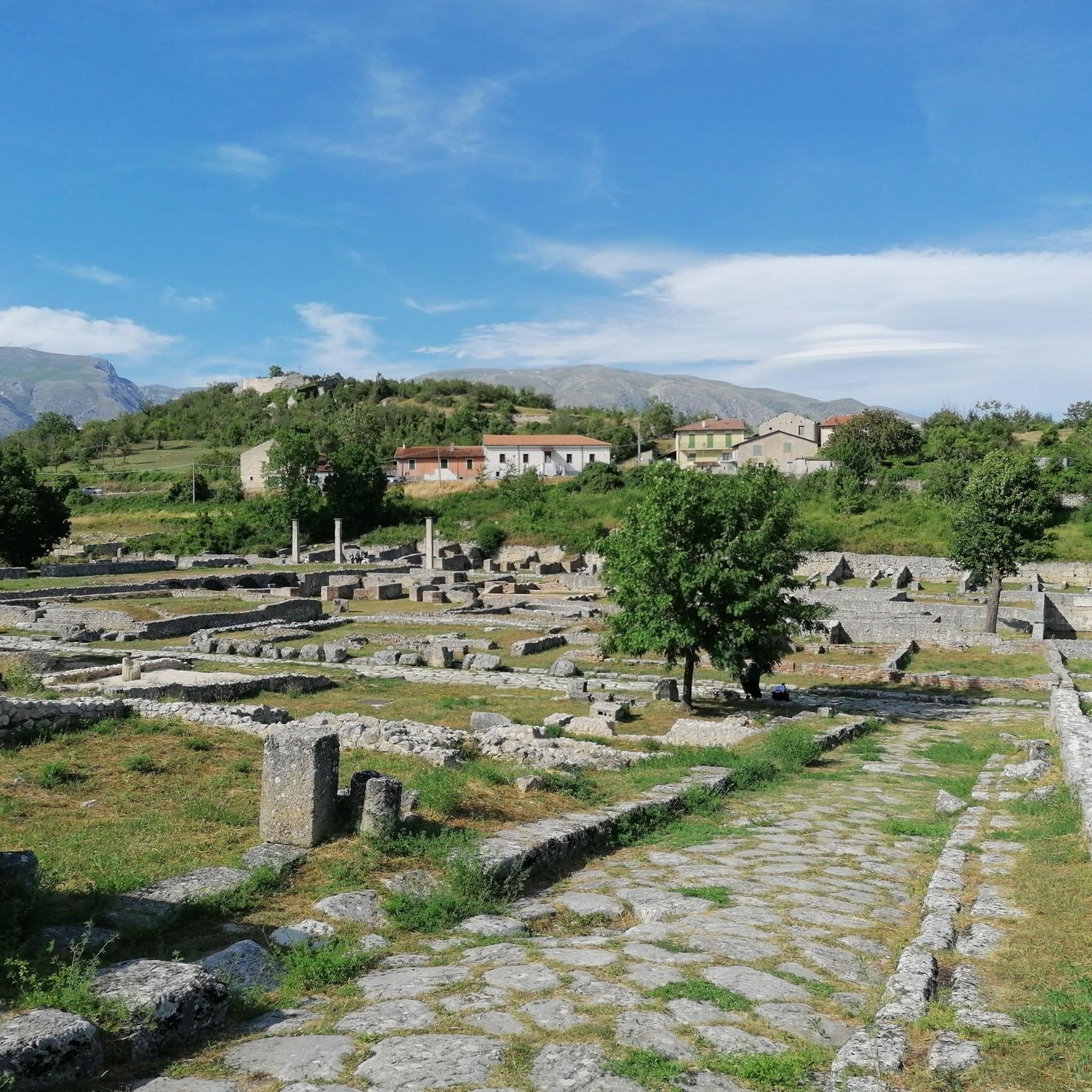
Absolutely. Massa D'Albe is close to the ancient Roman colony of Alba Fucens, where you can explore well-preserved ruins including an amphitheater and forum. The remains of the fortified medieval village of Albe Vecchio and the Orsini Castle also offer a glimpse into the region's rich history. The Grotta del Cristiano, a hermitage cave, is another point of interest at the foot of Monte Velino.
What is the best time of year to go hiking in Massa D'Albe?
The best time for hiking in Massa D'Albe is typically from late spring through early autumn (May to October). During these months, the weather is generally mild, and the trails are clear of snow. Summer offers warmer temperatures, while spring and autumn provide vibrant flora and foliage. Winter hiking is possible, especially with snowshoes, but requires experience and appropriate gear due to snow and colder conditions.
Are there any circular hiking routes available?
Yes, there are several circular routes that allow you to start and end in the same location. Popular options include the challenging Monte Velino and Monte Cafornia Loop Trail and the Monti della Magnola Loop, which offer extensive views and a full day's adventure.
What do other hikers enjoy most about hiking in Massa D'Albe?
The area is highly rated by the komoot community, with an average score of 4.7 stars from over 230 reviews. Hikers often praise the dramatic mountain landscapes, the tranquility of the forests, and the breathtaking panoramic views from the peaks. The challenging nature of many trails is also a draw for those seeking a rewarding outdoor experience.
Is public transport available to reach trailheads in Massa D'Albe?
Public transport options to specific trailheads directly from Massa D'Albe can be limited. It's advisable to check local bus schedules, which may connect the village to larger towns. For more remote trailheads, a car is often the most convenient way to access the starting points for your hikes.
Where can I find parking for hiking trails in Massa D'Albe?
Parking is generally available in and around the village of Massa D'Albe. For specific trailheads, designated parking areas may exist, especially near popular starting points or rifugi (mountain huts). It's recommended to research the specific route you plan to take to identify the most convenient parking locations.
Are there mountain huts or refuges along the trails?
Yes, the region features mountain huts that can serve as resting points or overnight stays for longer treks. Rifugio La Vecchia, at 1870m, offers panoramic views, and Rifugio Vincenzo Sebastiani is another notable option. These huts often provide basic amenities and are excellent places to experience the mountain environment.
Are permits required for hiking in Sirente-Velino Regional Natural Park?
Generally, permits are not required for day hiking on established trails within the Sirente-Velino Regional Natural Park. However, it's always a good practice to check the official park website or local information centers for any specific regulations, especially for certain protected areas or during particular seasons.
Most popular attractions around Massa D'Albe

Get inspired with the komoot mobile app


Explore more
Browse the best Hikes in other regions.
