The best walks and hikes around Tagliacozzo
4.5
(1010)
4,558
hikers
40
hikes
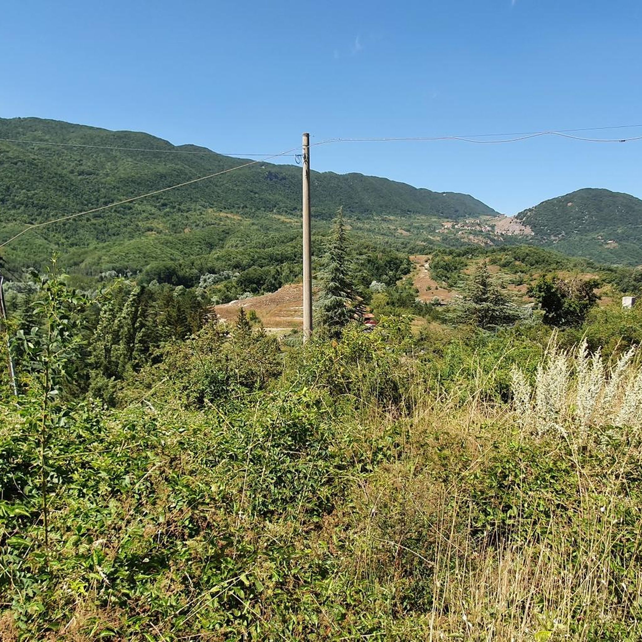
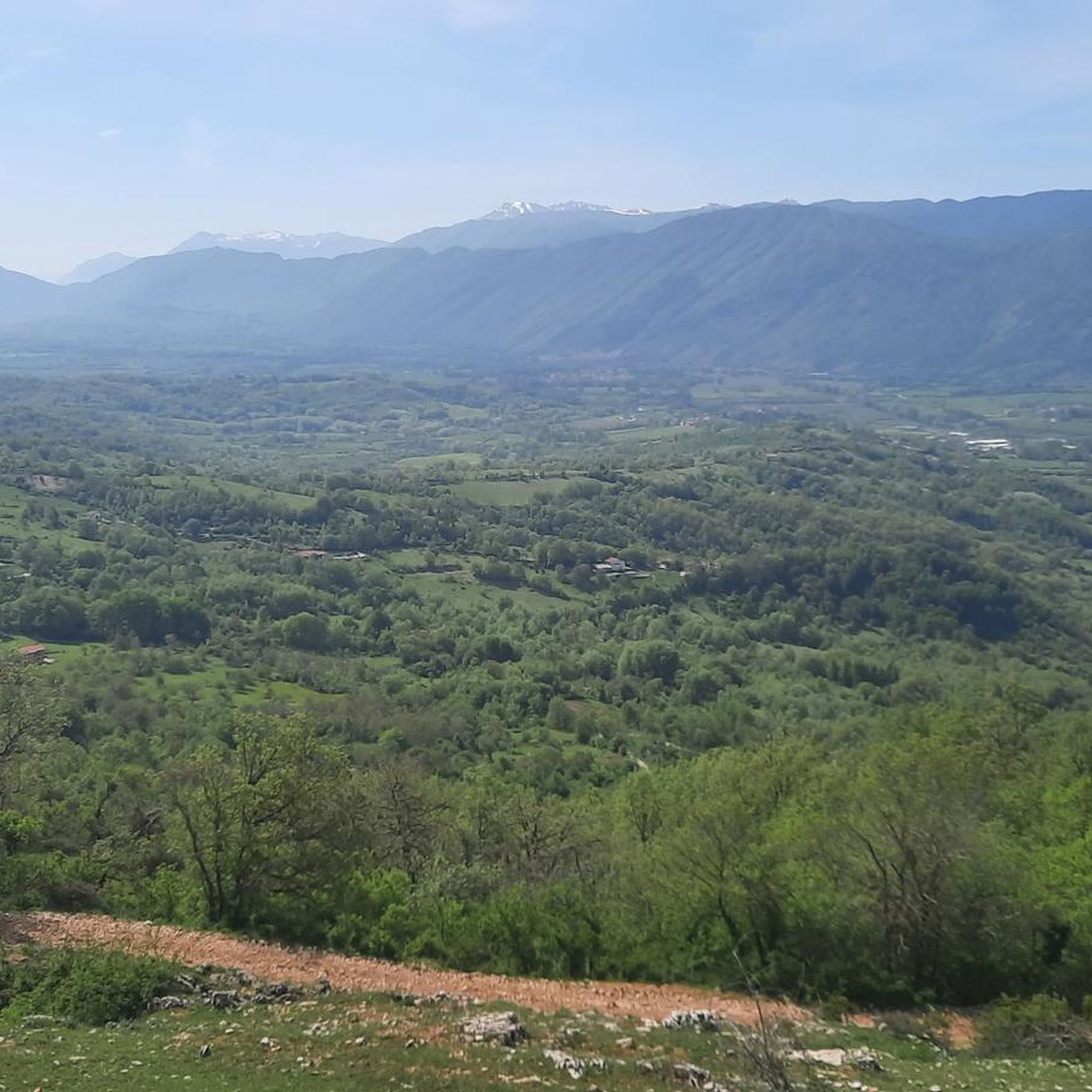
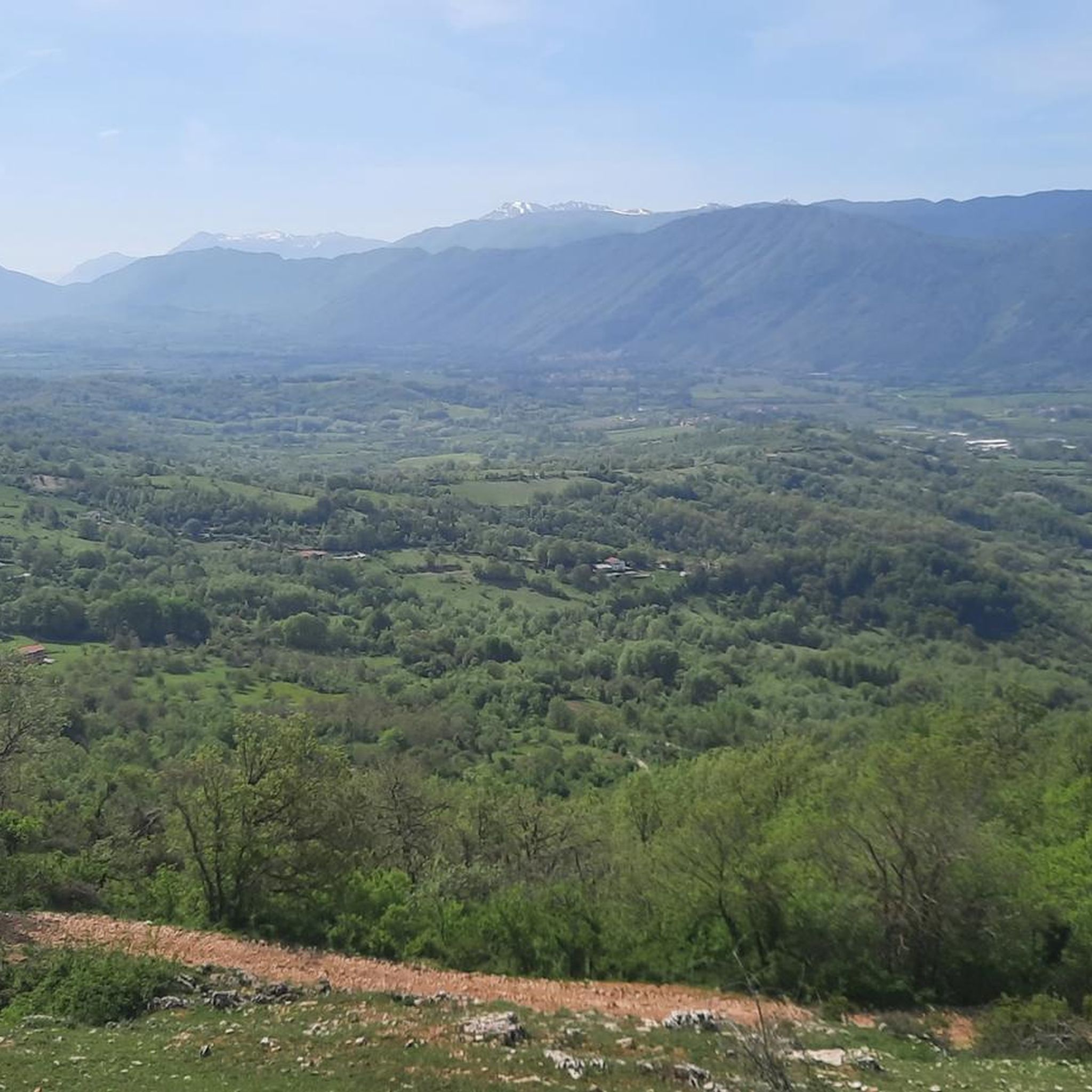
Hiking around Tagliacozzo offers diverse trails within the Abruzzo region, characterized by its position at the foot of the Simbruini Mountains. The landscape features wooded hills, river valleys, and expansive natural parks such as the Simbruini Mountains Regional Natural Park and Parco Naturale Regionale Sirente-Velino. Hikers can explore significant peaks like Monte Autore and Monte Civita, along with extensive beech forests and the Imele river valley. This varied terrain provides a range of experiences for outdoor enthusiasts.
Best hiking trails around Tagliacozzo
- The most popular hiking route is Magliano de' Marsi – Sorbo loop from Sorbo, a 13.2 miles (21.3 km) trail that takes 6 hours 27 minutes to complete. This challenging route features significant elevation gain through the mountainous terrain.
- Another top favourite among local hikers is Magliano de' Marsi – Quercia di Donato loop from Tagliacozzo, a difficult 16.4 miles (26.3 km) path. This trail offers expansive views and traverses varied landscapes around Tagliacozzo.
- Local hikers also love the Tagliacozzo – Tagliacozzo loop from Tagliacozzo, a 6.5 miles (10.5 km) trail leading through the local hills and countryside, often completed in about 3 hours 10 minutes.
- Hiking around Tagliacozzo is defined by the Simbruini Mountains, extensive beech forests, and river valleys, offering a mix of challenging mountain ascents and gentler forest walks. The network provides options for different ability levels, from moderate loops to difficult long-distance trails.
- The routes in Tagliacozzo are highly rated by the komoot community with an average score of 4.5 stars from over 900 reviews. More than 4000 hikers have used komoot to explore Tagliacozzo's varied terrain.
Last updated: October 12, 2026
4.3
(4)
40
hikers
26.4km
07:32
590m
590m
Hard hike. Very good fitness required. Easily-accessible paths. Suitable for all skill levels.
4.7
(6)
18
hikers
10.5km
03:10
320m
320m
Moderate hike. Good fitness required. Easily-accessible paths. Suitable for all skill levels.

4.5
(2)
13
hikers
8.18km
02:32
270m
270m
Moderate hike. Good fitness required. Easily-accessible paths. Suitable for all skill levels.
4.7
(3)
16
hikers
13.1km
04:03
450m
450m
Moderate hike. Good fitness required. Easily-accessible paths. Suitable for all skill levels.
5.0
(3)
7
hikers
5.91km
01:52
230m
230m
Easy hike. Great for any fitness level. Easily-accessible paths. Suitable for all skill levels.
Get access to more routes and recommendations from other explorers.
Already have an account?
Our route recommendations are based on thousands of hikes, rides, and runs completed by other people on komoot.
Start today with a free account
Your next adventure awaits.
Popular around Tagliacozzo
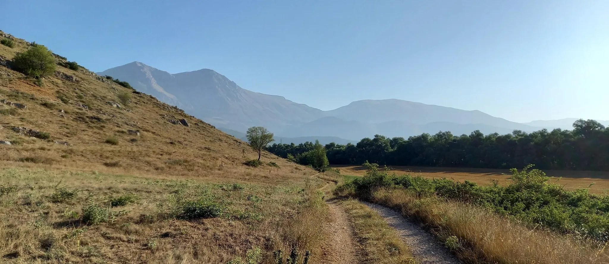
Hike from Rome to the Adriatic Sea – Way of St. Thomas
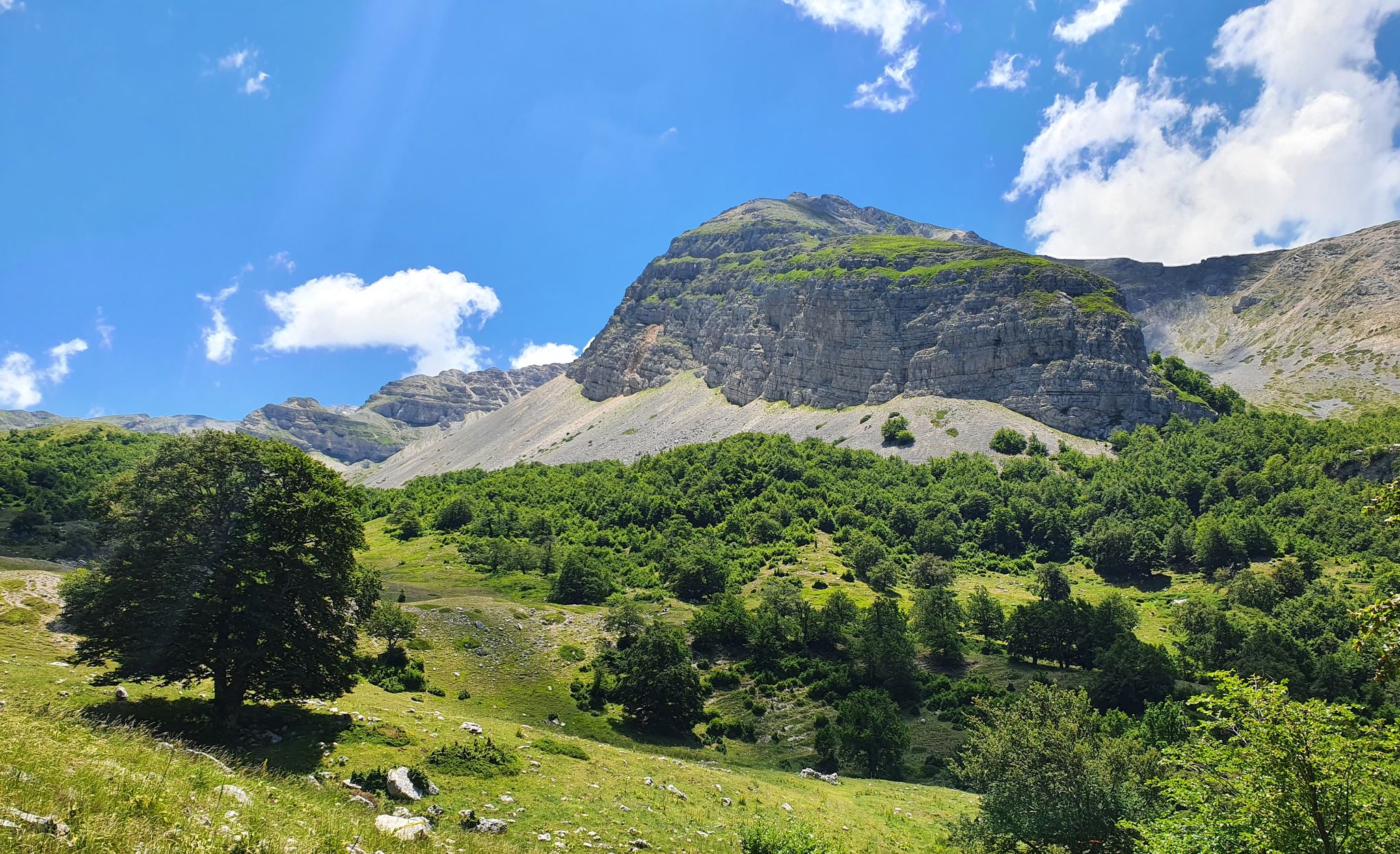
Cammino dei Briganti – hike in the footsteps of Marsica and Cicolano rebels in Italy
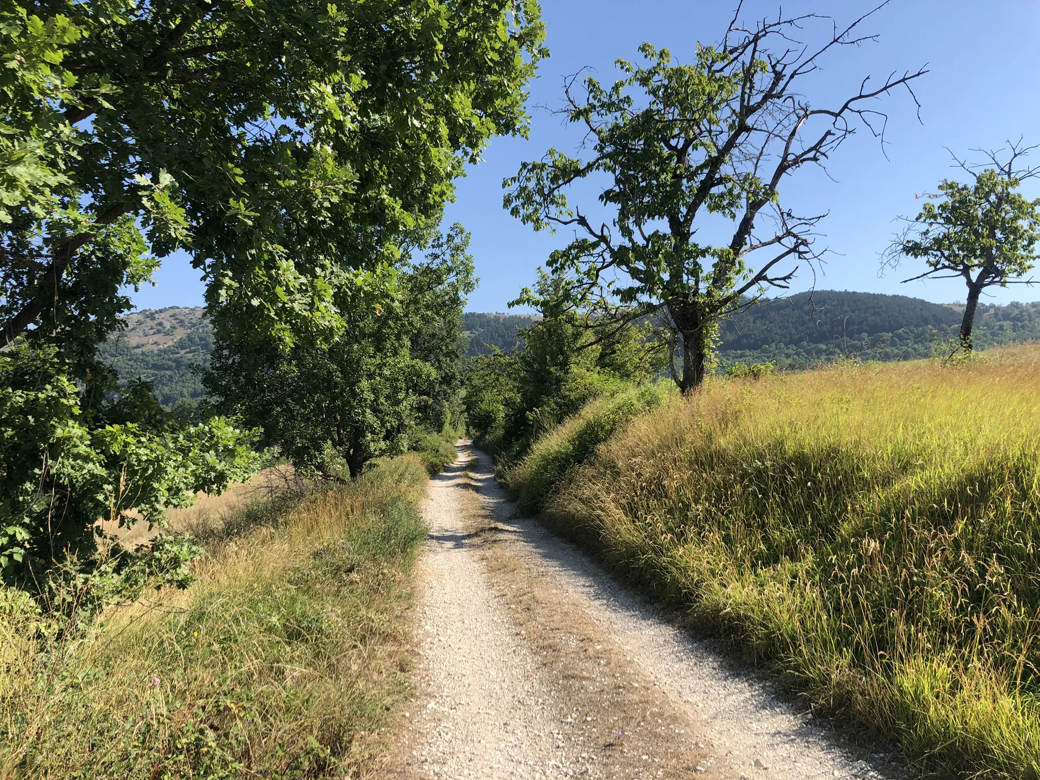
MTB the border between Lazio and Abruzzo – Cammino dei Briganti
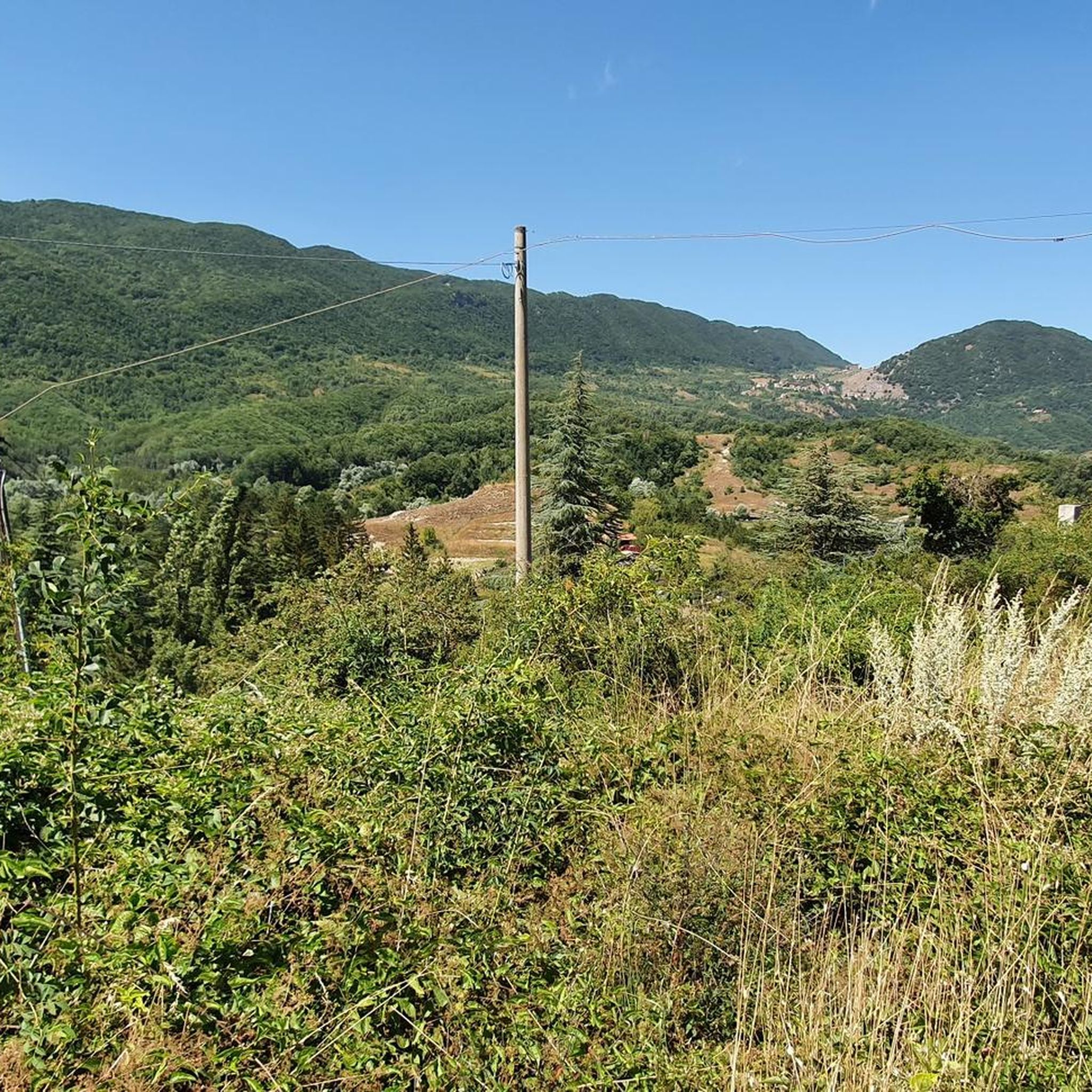
Road Cycling Routes around Tagliacozzo
MTB Trails around Tagliacozzo
Cycling around Tagliacozzo
Running Trails around Tagliacozzo

Gravel biking around Tagliacozzo
Other adventures around Tagliacozzo


Tips from the Community

A beautiful small waterfall in the Imele river. It is reached via a little-known path compared to the others leading to the source of the Imele, but once you arrive it offers a beautiful glimpse of the river and in summer it is a place of great refreshment.
0
0

The view of the surrounding mountains justifies the effort of the climb!
1
0
A charming little village nestled in the mountains. A must-see!
0
0

The cross of St. Nicholas is present
0
0

Panoramic point, going towards Piano del Pozzo you take a very fun downhill path from here.
0
0
Trail 517 clearly visible. The trail that connects the arrival point of the ski lifts is not very visible and the climb is mostly done with the bike on your shoulder
0
0
Entrance to the path which then passes through a valley to descend again into a very technical winding path which comes out onto the Tiburtina Valeria
0
0

Roverella which dates back to 1250.
0
0
Frequently Asked Questions
How many hiking trails are available around Tagliacozzo?
There are over 35 hiking routes around Tagliacozzo, offering a diverse range of experiences. These include 8 easy trails, 22 moderate routes, and 6 challenging hikes, ensuring options for all skill levels.
What kind of terrain can I expect on hikes near Tagliacozzo?
The terrain around Tagliacozzo is highly varied, characterized by wooded hills, river valleys, and significant mountain ranges. You'll find trails through extensive beech forests, open plateaus like Prato di Camposecco, and rocky ascents in the Simbruini Mountains. Some routes follow ancient paths along the Imele river, while others lead to panoramic viewpoints.
Are there any family-friendly hiking options in Tagliacozzo?
Yes, Tagliacozzo offers several family-friendly trails, particularly among the 8 easy routes available. These often feature gentler gradients and shorter distances, ideal for walks with children. The region's extensive beech forests provide shaded paths, perfect for a pleasant family outing.
Can I bring my dog on the hiking trails around Tagliacozzo?
Many trails around Tagliacozzo are suitable for dogs, especially those through the natural parks and forests. It's always recommended to keep your dog on a leash, particularly in protected areas like the Simbruini Mountains Regional Natural Park or Parco Naturale Regionale Sirente-Velino, to protect wildlife and ensure a pleasant experience for all hikers.
What are some notable natural attractions or landmarks to see while hiking?
Hikers can discover several significant natural attractions. You might reach the summit of Monte Autore Summit for panoramic views, or visit the stunning Duchess Lake, a karst-origin lake. Other points of interest include the open expanse of Prato di Camposecco and the historic Rosciolo dei Marsi Historic Village.
What is the best time of year for hiking in Tagliacozzo?
The autumn months are particularly scenic for hiking around Tagliacozzo, as the extensive beech forests burst into vibrant colors. Spring also offers pleasant temperatures and blooming flora. While summer is popular, higher elevations provide cooler escapes. Winter hiking is possible, but conditions can be challenging, especially in the higher mountain areas.
Are there any circular hiking routes available?
Yes, many of the trails around Tagliacozzo are circular, allowing you to start and end in the same location. For example, the Tagliacozzo – Tagliacozzo loop is a moderate 10.5 km route through local hills, and the View from Monte Midia – Monte Midia loop offers a moderate 9.5 km experience from Marsia.
Where can I find parking for trailheads near Tagliacozzo?
Parking is generally available near the starting points of many popular trails. For routes originating directly from Tagliacozzo, you can often find parking within the town or at designated areas on its outskirts. For trails starting from smaller villages like Sorbo or Marsia, local parking options are usually present, though it's advisable to check specific trailhead information for larger groups or peak seasons.
What do other hikers say about the trails in Tagliacozzo?
The hiking routes in Tagliacozzo are highly rated by the komoot community, with an average score of 4.5 stars from over 900 reviews. Hikers frequently praise the diverse landscapes, from challenging mountain ascents to tranquil forest walks, and the stunning panoramic views from peaks like Monte Autore.
Are there any long-distance hiking opportunities in the area?
For those seeking a more extensive adventure, the region is home to sections of the Cammino dei Briganti (Bandits' Path). This long-distance walking itinerary stretches approximately 100 km between Abruzzo and Lazio, promising impressive natural vistas and a multi-day trekking experience.
Are there any easy trails for beginners or those looking for a relaxed walk?
Absolutely. Out of the 36 available routes, 8 are classified as easy, making them perfect for beginners or those seeking a leisurely stroll. These trails typically have minimal elevation gain and cover shorter distances, allowing you to enjoy the natural beauty without significant exertion.
What are the highest points accessible by hiking near Tagliacozzo?
Hikers can reach significant elevations in the Simbruini Mountains. A prominent feature is Monte Autore Summit, the third-highest peak of the Simbruini mountains at 1,854 meters. An accessible walk from Campo dell'Osso leads to its summit, providing panoramic views of the Apennines.
Most popular attractions around Tagliacozzo

Get inspired with the komoot mobile app


Explore more
Browse the best Hikes in other regions.
