The best running trails around Percile
5.0
(1)
47
runners
10
runs
Jogging around Percile offers a diverse landscape characterized by rolling hills, dense woodlands, and significant elevation changes. Situated within the Monti Lucretili Regional Natural Park, the region features varied terrain, including paths near Monte Sainese and Monte Pellecchia. Joggers can explore forest trails and areas with small lakes, providing a stimulating environment for running. The natural features create scenic and varied routes suitable for different fitness levels.
Best jogging routes around Percile
- The most popular jogging route is Path to…
Last updated: July 5, 2026
9.41km
01:15
290m
290m
Moderate run. Good fitness required. Mostly paved surfaces. Suitable for all skill levels.
6
runners
Hard run. Very good fitness required. Mostly paved surfaces. Suitable for all skill levels.

Sign up for free
3
runners
25.8km
03:42
1,140m
1,140m
Hard run. Very good fitness required. Sure-footedness, sturdy shoes and alpine experience required.
5
runners
6.92km
00:43
30m
30m
Moderate run. Good fitness required. Mostly paved surfaces. Suitable for all skill levels.
5.0
(1)
6
runners
19.8km
02:43
870m
870m
Hard run. Very good fitness required. Mostly paved surfaces. Suitable for all skill levels.
Get access to more routes and recommendations from other explorers.
Sign up for free
Already have an account?
Our route recommendations are based on thousands of hikes, rides, and runs completed by other people on komoot.
Start today with a free account
Your next adventure awaits.
Login or Signup
Tips from the Community

Fantastic high altitude trail
0
0

This refuge is an excellent shelter and a good stopping point before tackling the uphill stretch to Mount Pellecchia. The portico and the tables are always accessible, while the indoor part is managed by the Municipality of Monteflavio and to stay overnight inside you have to ask them for the key.
1
0
Pizzo Pellecchia, with its 1330 meters, is the second peak of the Lucretili mountains. Pizzo Pellecchia and the top of Monte Pellecchia are part of the same wide mountain ridge and for this reason they have the same name. The name Pellecchia, in fact, derives from "penniculus" (pen), to indicate a place located on a steep hill.
1
0

Monte Pellecchia with its 1369 meters above sea level, is the highest peak of the Lucretili Mountains. At the top, the view spans 360 degrees over the most important mountain ranges of Lazio and Abruzzo.
2
0

A refuge in the middle of nowhere, it seems managed but I have not found any information. Outside there are many tables with benches and a bbq.
0
0

Beautiful dirt path between the pines.
1
0

Restaurant / Bar along the route. It opens at 9 in the morning.
1
0
From Pizzo Pellecchia you can reach Monte Pellecchia, crossing a panoramic ridge. In May in the surroundings it is possible to observe the blooming of irises.
1
3
Frequently Asked Questions
How many running routes are available in the Percile area?
Percile offers a selection of 10 dedicated running routes. These trails cater to various fitness levels, with 2 moderate and 8 challenging options available for exploration.
Are there any easy or moderate running routes suitable for beginners in Percile?
While Percile is known for its challenging terrain, there are a couple of moderate routes perfect for those looking for a less strenuous run. One popular option is the Path to Saracinesco under Monte Sainese, which is 5.8 miles (9.4 km) long and offers varied terrain with notable ascents.
Where can I find challenging or long-distance running trails around Percile?
For experienced runners seeking a challenge, Percile boasts 8 difficult routes. The Fonte Malatesta – Cima Fidene loop from Monteflavio is a particularly demanding option, covering 16.2 miles (26 km) with significant elevation changes. Another great choice is the Monte Pellecchia – Cima Fidene loop from Monteflavio, an 11.2-mile (18.1 km) path with substantial climbs and panoramic views.
Are there any circular running routes in Percile?
Yes, many of the running routes in Percile are designed as loops. For example, the Lago Fraturno – Morella loop from Percile is a 7.8-mile (12.5 km) trail that takes you through hilly terrain with beautiful lake views. Another circular option is the Running loop from Civita, which is a moderate 4.3-mile (6.9 km) route.
What kind of scenery can I expect on the running trails in Percile?
The running trails in Percile offer a diverse landscape characterized by rolling hills, dense woodlands, and significant elevation changes. You'll find routes traversing mountainous terrain, forest paths, and trails offering lake views, such as those around Lago Fraturno. The region's natural beauty provides a scenic backdrop for your run.
Are there any points of interest or natural attractions along the running routes?
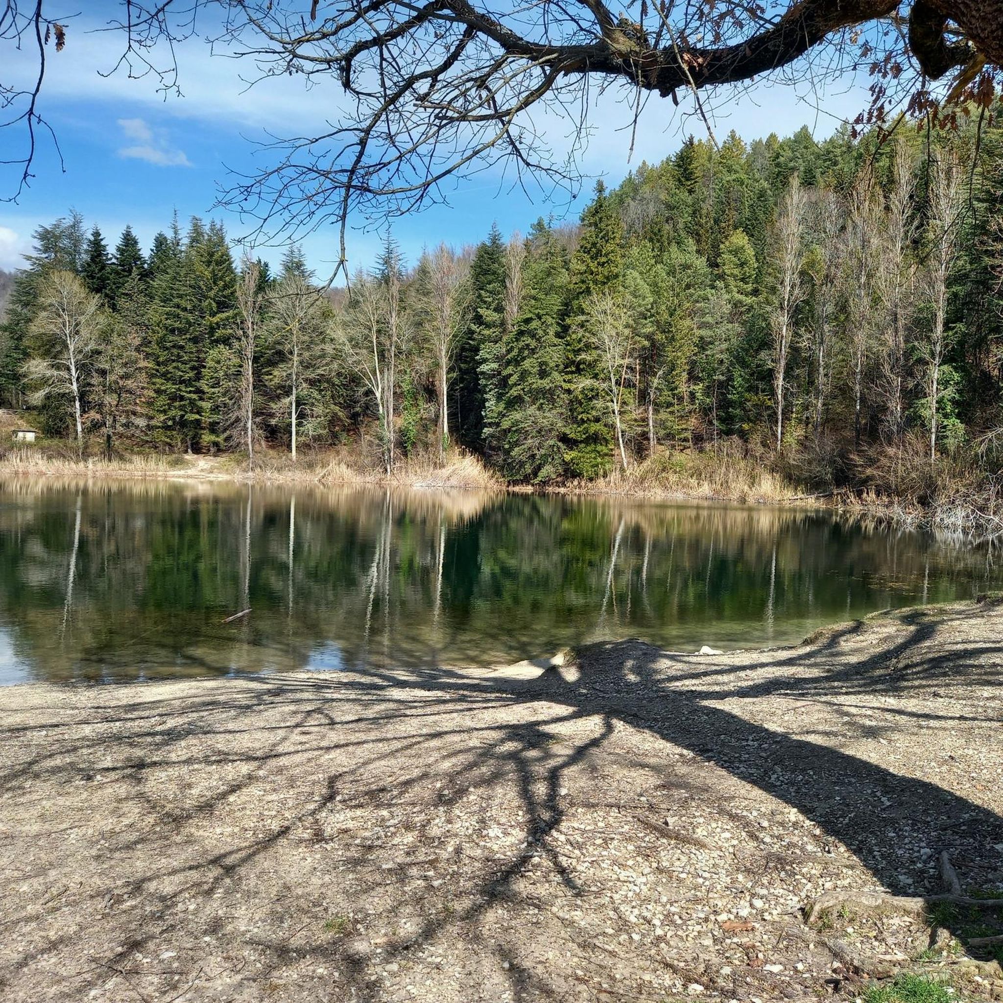
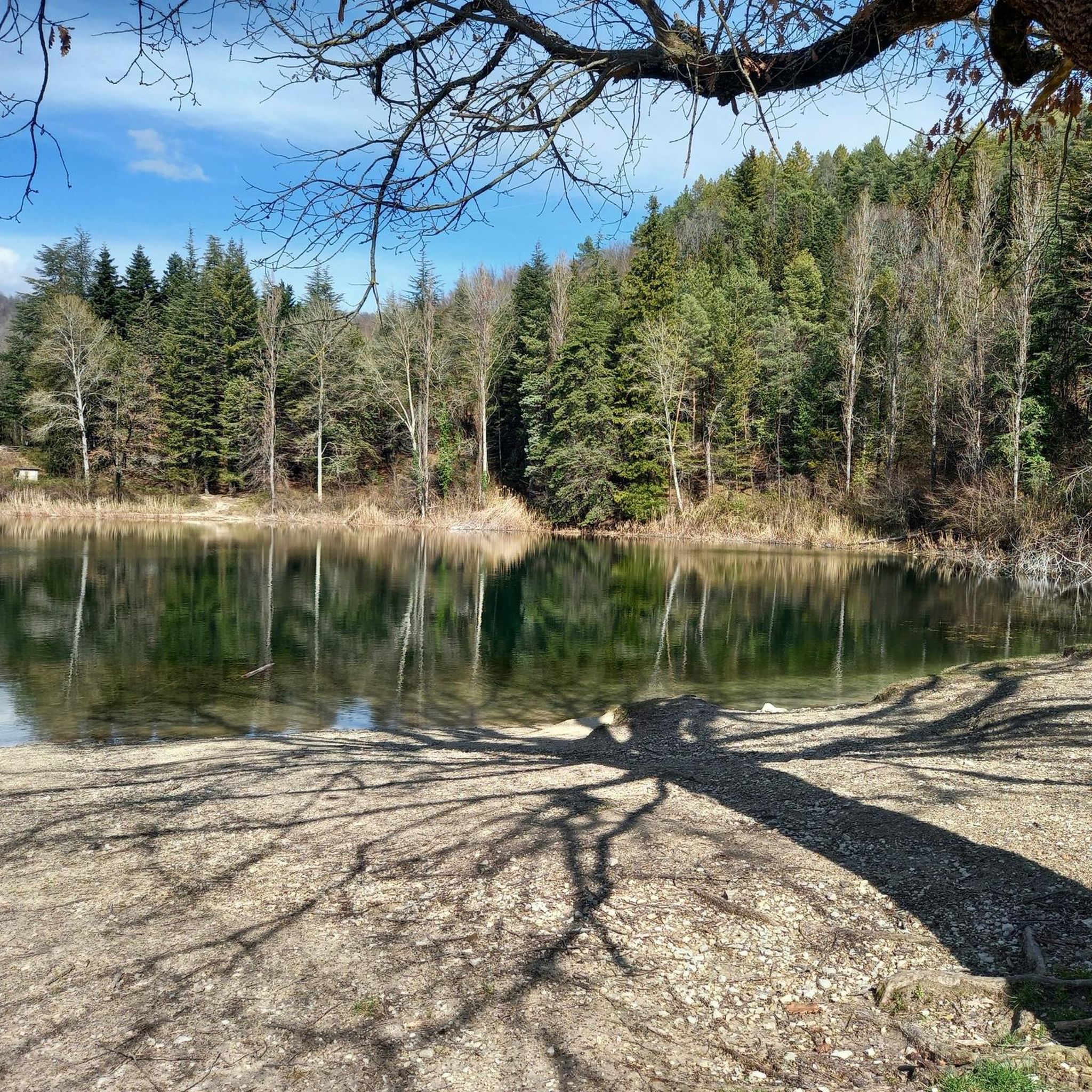
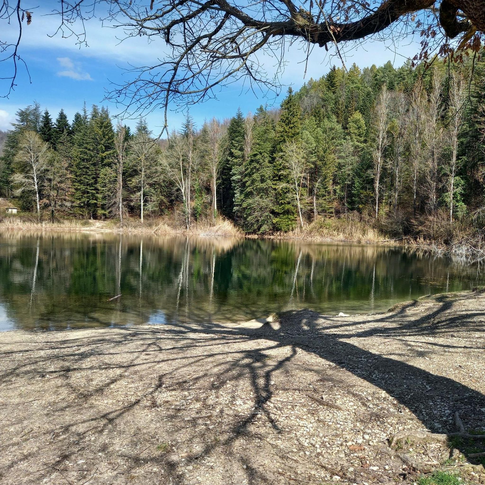
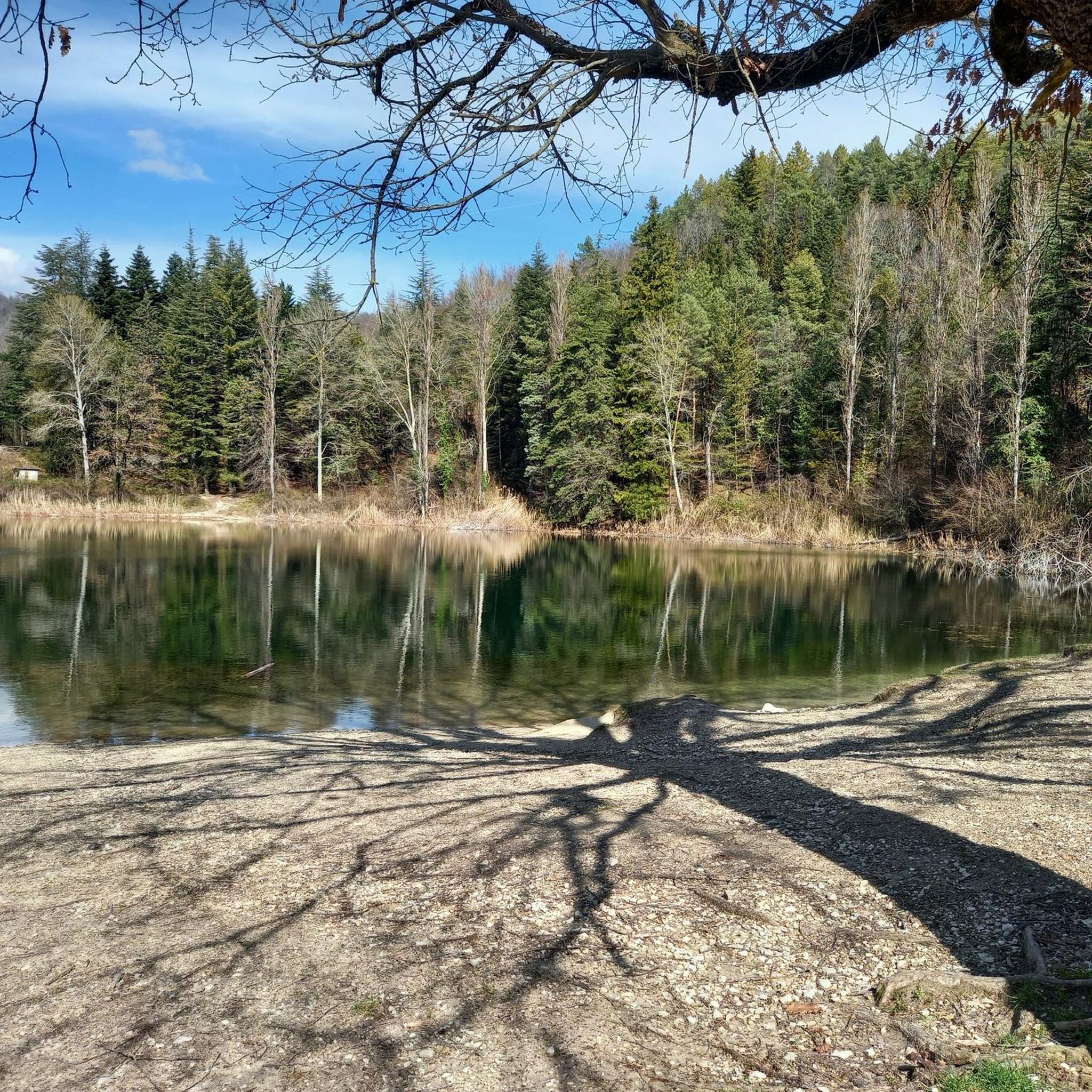
Yes, the Percile area is rich in natural attractions. You might encounter highlights like the Lagustelli di Percile, a beautiful lake, or the Monte Gennaro Meadow. For those interested in unique natural features, the Rioscuro Stream Waterfalls are also nearby.
Can I bring my dog on the running trails in Percile?
Many trails in natural areas like Percile are dog-friendly, especially if your dog is well-behaved and kept on a leash. However, it's always recommended to check local regulations or signage at specific trailheads, particularly within protected areas, to ensure dogs are permitted.
What do other runners enjoy most about jogging in Percile?
The komoot community highly rates the running experience in Percile, with an average score of 4.0 stars. Runners often praise the diverse landscape, including the challenging mountain trails and serene forest paths, as well as the rewarding panoramic views from higher elevations.
What is the best time of year for running in Percile?
Percile's climate makes spring and autumn ideal for running, offering milder temperatures and vibrant natural scenery. Summer can be warm, so early morning or late evening runs are preferable. Winter runs are possible, but some higher elevation trails might be affected by colder conditions or occasional snow, requiring appropriate gear.
Are there any running routes with scenic viewpoints in Percile?
Absolutely. Given the mountainous terrain, many routes offer stunning vistas. Trails leading towards Pizzo Pellecchia or those with significant climbs, like the Monte Pellecchia – Cima Fidene loop from Monteflavio, are known for their panoramic views of the surrounding mountains and valleys.
Is parking available near the running trailheads in Percile?
While specific parking information for each trailhead isn't always detailed, in rural areas like Percile, it's common to find informal parking spots or small designated areas near popular trail starting points. For routes originating from villages like Monteflavio or Civita, village parking might be available. It's advisable to check maps or local information for the specific trailhead you plan to use.
Most popular attractions around Percile

Get inspired with the komoot mobile app


Explore more
Browse the best Running Trails & Routes in other regions.
