The best road cycling routes around Goriano Sicoli
4.1
(158)
2,850
riders
63
rides
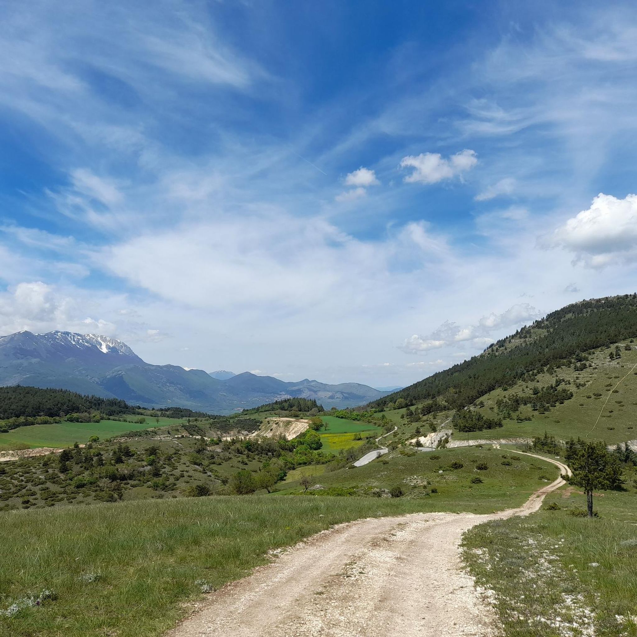
Road cycling routes around Goriano Sicoli traverse the varied terrain of the Abruzzo region in Italy. The area features a landscape characterized by mountain passes, deep gorges, and expansive plains. Road cyclists can expect routes that navigate through valleys and offer views of surrounding peaks like Monte Sirente. The region's topography provides a range of gradients suitable for different cycling preferences.
Best road cycling routes around Goriano Sicoli
- The most popular road cycling route is From Raiano through the Gole…
Last updated: July 6, 2026
5.0
(1)
10
riders
43.3km
02:41
1,130m
1,130m
Hard road ride. Very good fitness required. Some segments of this route may be unpaved and difficult to ride.
5.0
(3)
80
riders
108km
05:40
1,950m
1,950m
Hard road ride. Very good fitness required. Mostly well-paved surfaces and easy to ride.

Sign up for free
4.3
(3)
34
riders
88.8km
04:27
1,390m
1,390m
Hard road ride. Very good fitness required. Mostly well-paved surfaces and easy to ride.
5.0
(9)
26
riders
60.0km
03:03
950m
950m
Hard road ride. Very good fitness required. Mostly well-paved surfaces and easy to ride.
3.5
(2)
14
riders
40.6km
01:48
360m
360m
Moderate road ride. Good fitness required. Mostly well-paved surfaces and easy to ride.
Get access to more routes and recommendations from other explorers.
Sign up for free
Already have an account?
Our route recommendations are based on thousands of hikes, rides, and runs completed by other people on komoot.
Start today with a free account
Your next adventure awaits.
Login or Signup
Tips from the Community

very scenic tour, worth doing....
0
0

San Panfilo is the cathedral or dome of Sulmona. It dates back to the 8th or 10th century. It was declared a national monument in 1902.
1
0

Every time I emerge from the short tunnels above Raiano I stop to observe the road that goes up towards Vittorito.
0
0
The hermitage of San Venanzio is beautiful, set among the rocks on the Aterno river.
0
0

Forca di Penne is a pass that connects Capestrano to Brittoli. Located at 918 meters above sea level, Forca di Penne connects the mountainous part of Abruzzo with the Adriatic coast. Forca di Penne is one of the most important passes in the Gran Sasso and Monti della Laga National Park: the views from the pass are superb.
0
0
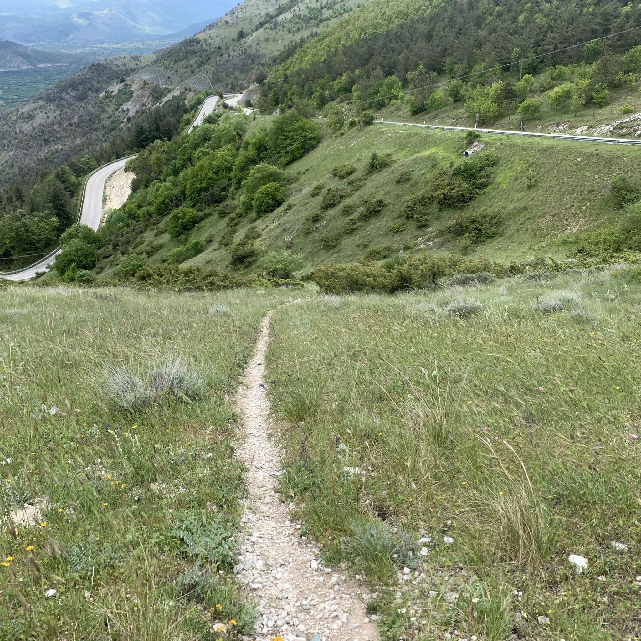
The gorges of San Venanzio connect the Aterno valley with the Pescara river valley. The Via Tiburtina crosses these gorges: some panoramic views are spectacular. There are some tunnels: some lights could be useful, even if generally these are well lit.
0
0

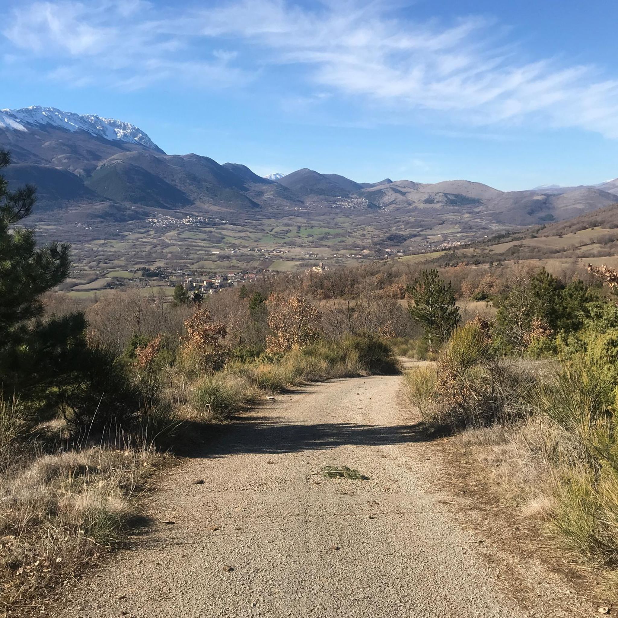
The Tirino Valley, crossed by the river of the same name, is a vast plateau of karstic origin located at an average altitude of 400 m asl in the Gran Sasso National Park.
0
0
From here you can admire the view of Castel di Ieri: a fortified village dominated by a watchtower about 20 meters high and surrounded by historic buildings that give life to an ancient and magical scenario.
1
0
Frequently Asked Questions
What kind of terrain can I expect on road cycling routes around Goriano Sicoli?
Road cycling routes in the Goriano Sicoli area traverse the varied terrain of the Abruzzo region. You can expect a landscape characterized by challenging mountain passes, deep gorges, and expansive plains, offering a diverse range of gradients suitable for different cycling preferences.
Are there road cycling routes suitable for beginners in Goriano Sicoli?
Yes, Goriano Sicoli offers a range of routes for various skill levels. While many routes feature significant climbs, there are approximately 13 easy routes available. These typically involve less elevation gain, providing a good starting point for those new to road cycling in the region.
Which routes offer extensive views of Monte Sirente?
For extensive views of Monte Sirente, consider the difficult route Piana delle Rocche – View of Monte Sirente loop from Goriano. This 108.3 km path crosses the Piana delle Rocche and provides panoramic vistas of the mountain.
Are there any circular road cycling routes in the area?
Yes, many routes around Goriano Sicoli are designed as loops. For example, the From Raiano through the Gole di San Venanzio and the Forca Caruso – Loop tour is a popular difficult option, and the Piana delle Rocche – View of Monte Sirente loop from Goriano also offers a circular experience.
What historical or natural landmarks can I see along road cycling routes?
The routes often pass by significant landmarks. You can cycle past the Gorges of San Venanzio, or explore areas near the Basilica of San Pelino. Some routes also lead through areas with views of the Majella National Park, offering a blend of natural beauty and historical interest.
What do other road cyclists say about the routes in Goriano Sicoli?
The road cycling routes in Goriano Sicoli are highly rated by the komoot community, with an average score of 4.2 stars from over 150 reviews. Nearly 3,000 road cyclists have used komoot to explore the varied terrain, often praising the challenging ascents and scenic views of national parks and gorges.
Are there any longer road cycling routes for experienced riders?
For experienced riders seeking longer distances, Goriano Sicoli offers several challenging options. The Piana delle Rocche – View of Monte Sirente loop from Goriano is a difficult 108.3 km route with significant elevation gain, ideal for a full day's ride. Another option is the Basilica di San Pelino – Vigneti Zaccagnini, Bolognano loop from Raiano, a moderate 96.5 km route.
Which routes pass through national parks or protected areas?
The Pacentro Castle – Majella National Park loop from Raiano is a notable route that leads through the Majella National Park, offering riders a chance to experience the natural beauty of this protected area.
What is the best season for road biking in Goriano Sicoli?
Given the region's mountain passes and varied terrain, spring and autumn generally offer the most pleasant conditions for road biking in Goriano Sicoli. Temperatures are milder, and the scenery is vibrant. Summer can be hot, especially in the valleys, while winter may bring snow to higher elevations, making some routes inaccessible.
Are there any moderate difficulty road cycling routes available?
Yes, out of the 73 available routes, 26 are classified as moderate. An example is the Basilica di San Pelino – Vigneti Zaccagnini, Bolognano loop from Raiano, which covers 96.5 km with a manageable elevation gain, suitable for cyclists looking for a good workout without extreme challenges.
Can I find routes that offer views of valleys or rivers?
Absolutely. Many routes provide scenic views of the surrounding landscape. The View of Monte Sirente – View of Valle del Tirino loop from Raiano is a difficult route that specifically highlights views of the Valle del Tirino, offering picturesque vistas during your ride.
Most popular attractions around Goriano Sicoli

Get inspired with the komoot mobile app


Explore more
Browse the best Road cycling routes in other regions.
