The best running trails around Roccagiovine
4.6
(12)
620
runners
30
runs
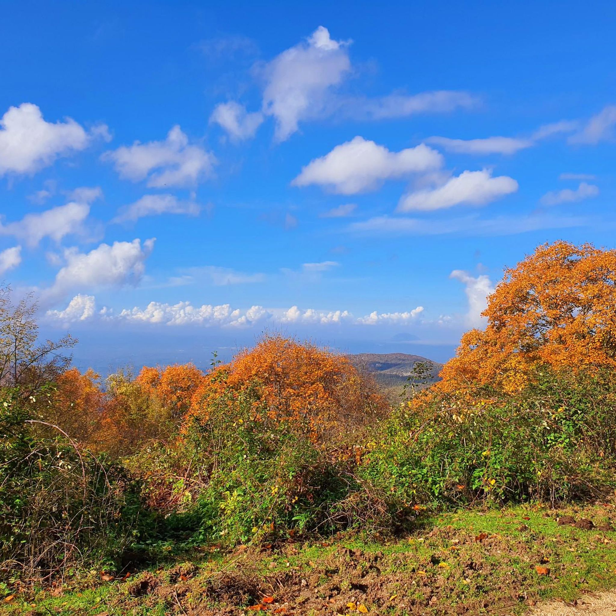
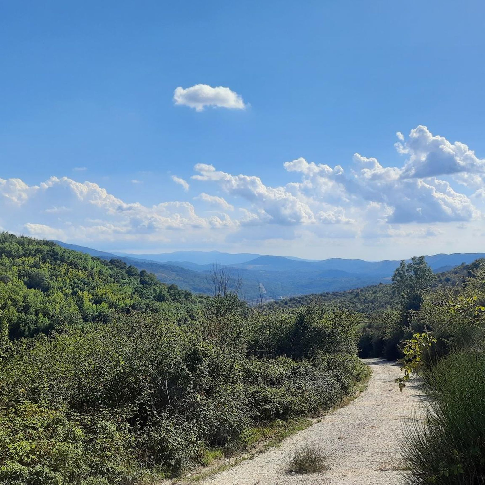
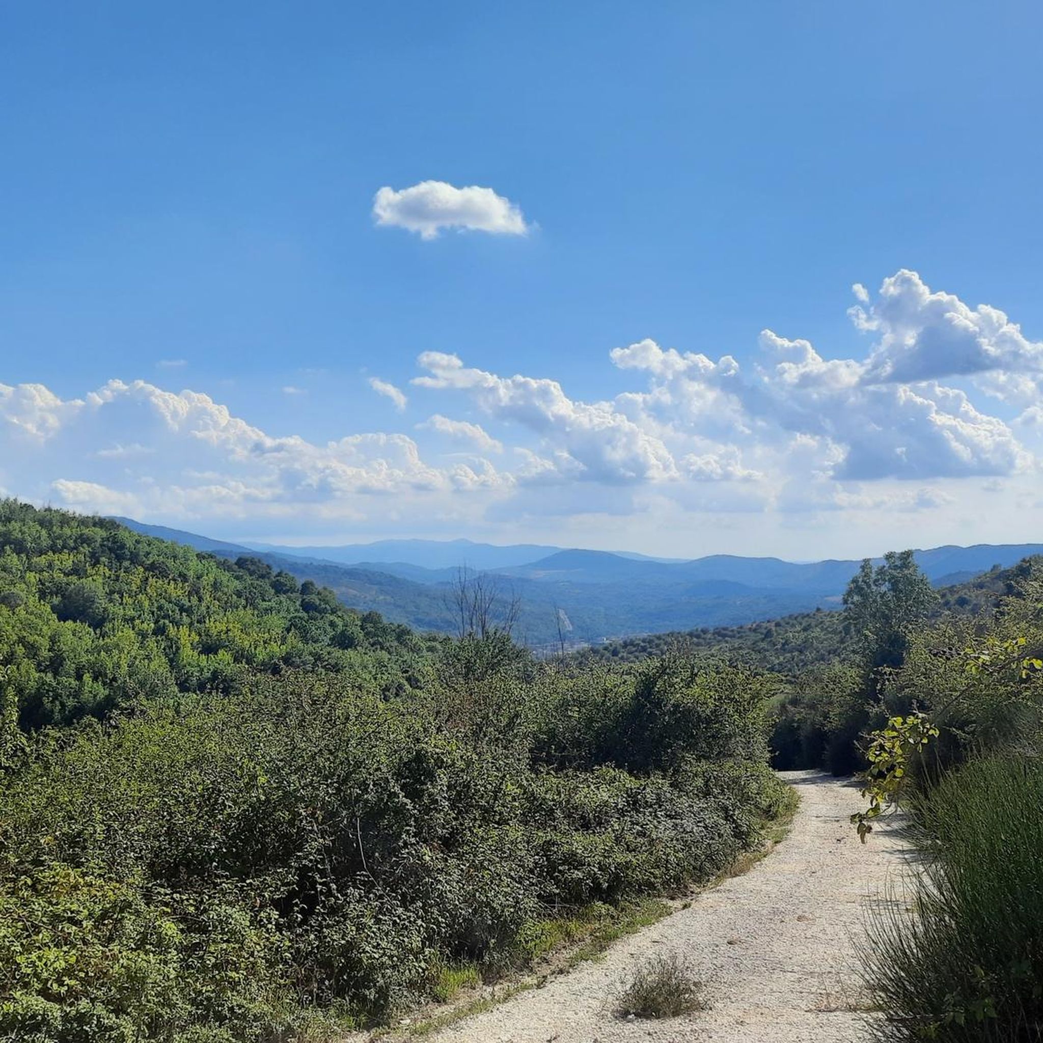
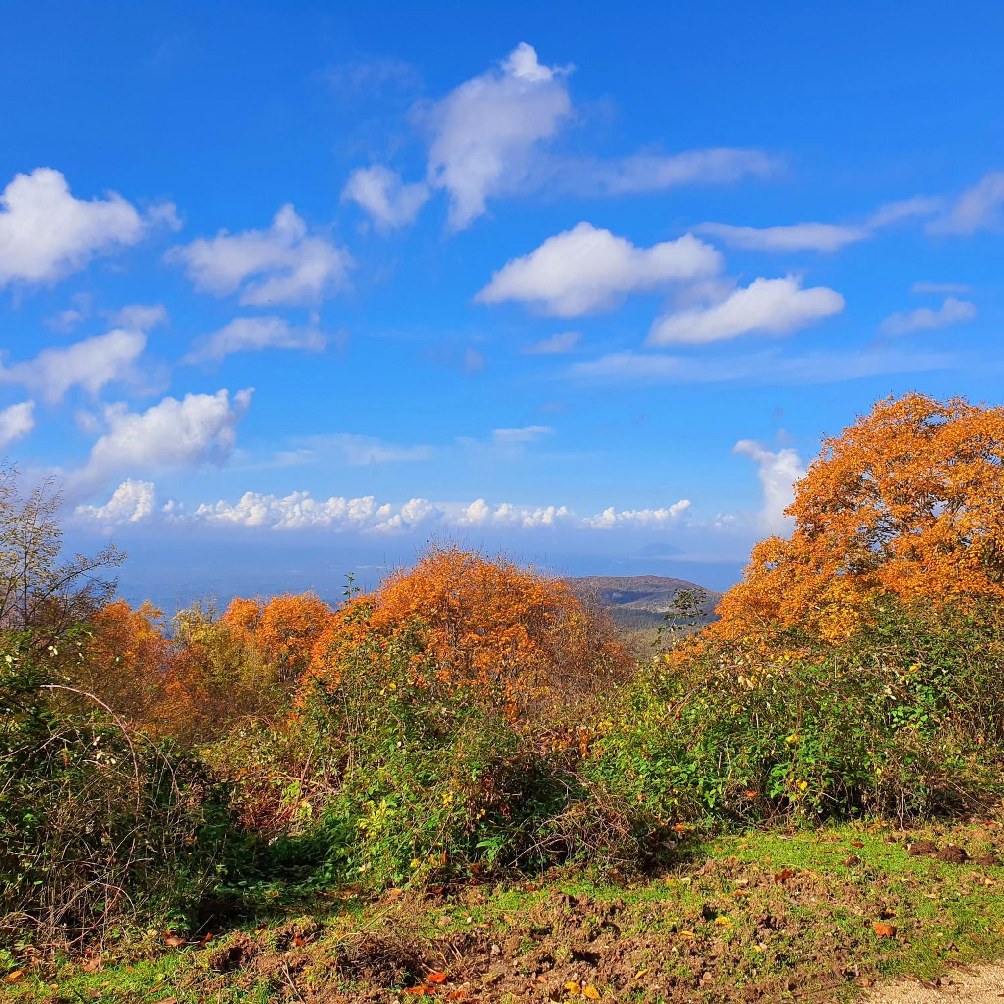
Jogging around Roccagiovine offers diverse natural landscapes within the Monti Lucretili Regional Park. The area features a varied topography, from a rocky spur to dense chestnut, oak, maple, and beech woods, providing a range of running environments. Trails traverse different altitudes, offering both visually stimulating scenery and varied terrain for runners. This region is characterized by its natural beauty and well-documented paths suitable for outdoor activities.
Best jogging routes around Roccagiovine
- The most popular jogging route is Monte Gennaro –…
Last updated: October 8, 2026
9.41km
01:15
290m
290m
Moderate run. Good fitness required. Mostly paved surfaces. Suitable for all skill levels.
5.0
(2)
155
runners
25.0km
04:33
1,920m
1,920m
Hard run. Very good fitness required. Sure-footedness, sturdy shoes and alpine experience required.

24
runners
13.6km
02:40
1,090m
1,090m
Hard run. Very good fitness required. Sure-footedness, sturdy shoes and alpine experience required.
21
runners
7.45km
01:16
520m
520m
Hard run. Very good fitness required. Mostly paved surfaces. Suitable for all skill levels.
20
runners
13.9km
02:35
940m
940m
Hard run. Very good fitness required. Sure-footedness, sturdy shoes and alpine experience required.
Get access to more routes and recommendations from other explorers.
Already have an account?
Our route recommendations are based on thousands of hikes, rides, and runs completed by other people on komoot.
Start today with a free account
Your next adventure awaits.
Tips from the Community

Flat spot before the ascent of Monte Gennaro
0
0

Suggestive to say the least, very low grass and populated by cows and horses. An excellent refreshment point before the summit!
0
1
Pratone landmark. Unfortunately for the conditions in which it concerns, full of manure and plastic.
0
0
Visible from miles away, and far from ancient, it represents one of the symbols of the mountain. For the more athletic and risk-takers there is also an iron staircase planted inside which would allow you to climb to the top of the tower. It is strongly not recommended judging by the stability of the structure.
0
0

More than a trail marker, this ancient beech tree is a timepiece! Perhaps this is why some of its protruding roots protect a small improvised nativity scene. The "troscia" indicates the puddle of water that you come across on the path just south of the beech tree.
0
0
Large grassy clearing of karst nature, one kilometer long and about 500 meters wide. For hundreds of years it has been the destination of the transhumance of local shepherds. Today you can admire horses and cows grazing in the wild.
1
0

Very pleasant excursion, the only part that can present difficulties is the stony ground before reaching the top
0
0

Fantastic panorama over the whole landscape
0
0
Frequently Asked Questions
How many running routes are available around Roccagiovine?
There are over 30 running routes around Roccagiovine, offering a wide range of options for different fitness levels and preferences within the Monti Lucretili Regional Park.
What is the general difficulty level of jogging trails in Roccagiovine?
The majority of running trails in Roccagiovine are considered difficult, with 26 out of 32 routes falling into this category. These often feature significant elevation gain and mountainous terrain. There are also 6 moderate routes available for those seeking a less strenuous experience.
Are there any family-friendly running routes in Roccagiovine?
While many routes are challenging, the varied topography and dense woodlands of the Monti Lucretili Regional Park offer paths that can be adapted for family outings. Look for sections of trails with less elevation or shorter distances. For example, the area around the Nymphaeum of the Orsini, part of the historical Coleman circular path, might offer more accessible sections for a family jog.
Can I bring my dog on the running trails in Roccagiovine?
Roccagiovine is located within the Monti Lucretili Regional Park, which generally welcomes dogs on trails. However, it's always best to keep your dog on a leash and ensure you clean up after them to preserve the natural environment and respect other users. Specific rules may apply in certain protected areas, so check local signage.
What kind of natural features or landmarks can I expect to see while running?
Jogging in Roccagiovine offers diverse scenery, from dense chestnut and oak woods to maple and beech trees at higher altitudes. You might encounter historical sites like ancient ruins, possibly of a temple dedicated to the Roman goddess Vacuna, and the stunning Renaissance waterfall of the Nymphaeum of the Orsini. For more natural monuments, you can explore highlights like Pizzo Pellecchia or the Monte Gennaro Meadow.
Are there any circular running routes available?
Yes, many of the routes around Roccagiovine are circular, allowing you to start and end in the same location. An example is the challenging Monte Gennaro – Muro Poligonale loop from Marcellina, which covers 14.5 km. The historical Coleman path, which descends to the Nymphaeum of the Orsini, is also a notable circular option.
What do other runners say about the trails in Roccagiovine?
The running routes in Roccagiovine are highly rated by the komoot community, with an average score of 4.4 stars from over 10 reviews. More than 600 runners have used komoot to explore the varied terrain, often praising the challenging ascents, panoramic views, and the immersive experience within the Monti Lucretili Regional Park.
Are there any routes that offer panoramic views?
Absolutely. Many of the more challenging routes, especially those ascending Monte Gennaro, provide breathtaking panoramic views of the surrounding parkland and beyond. The Monte Gennaro – Rifugio M. Gennaro loop from Marcellina is known for its challenging ascents and rewarding vistas.
Is public transport available to reach the trailheads in Roccagiovine?
While Roccagiovine is a charming village, public transport options directly to all trailheads might be limited. It's advisable to check local bus schedules or consider driving, especially for routes that start further afield, such as those originating from Marcellina or Percile.
Where can I find parking for the running trails?
Parking is generally available in or near the villages that serve as starting points for the trails, such as Roccagiovine itself, Marcellina, or Percile. For specific trailheads, it's recommended to check detailed route information on komoot, as some popular starting points may have designated parking areas.
Are there any historical sites or castles nearby that I can visit after a run?
Yes, the region is rich in history. After your run, you could explore nearby castles and historical sites. Notable options include the Castello Orsini-Cesi-Borghese in San Polo dei Cavalieri, the Morella Ruins, or the Massimo Castle of Arsoli. The village of Roccagiovine itself has historical ties to the poet Horace and ancient ruins.
What is the longest running route in the area?
The longest running route listed is the Monte Gennaro – Monte Morrone della Croce loop from Marcellina, which spans approximately 18.5 km (11.5 miles) and typically takes over 3 hours to complete. This route is classified as difficult due to its significant elevation changes.
Most popular attractions around Roccagiovine

Get inspired with the komoot mobile app


Explore more
Browse the best Running Trails & Routes in other regions.
