The best road cycling routes around Tornareccio
3.9
(33)
948
riders
78
rides
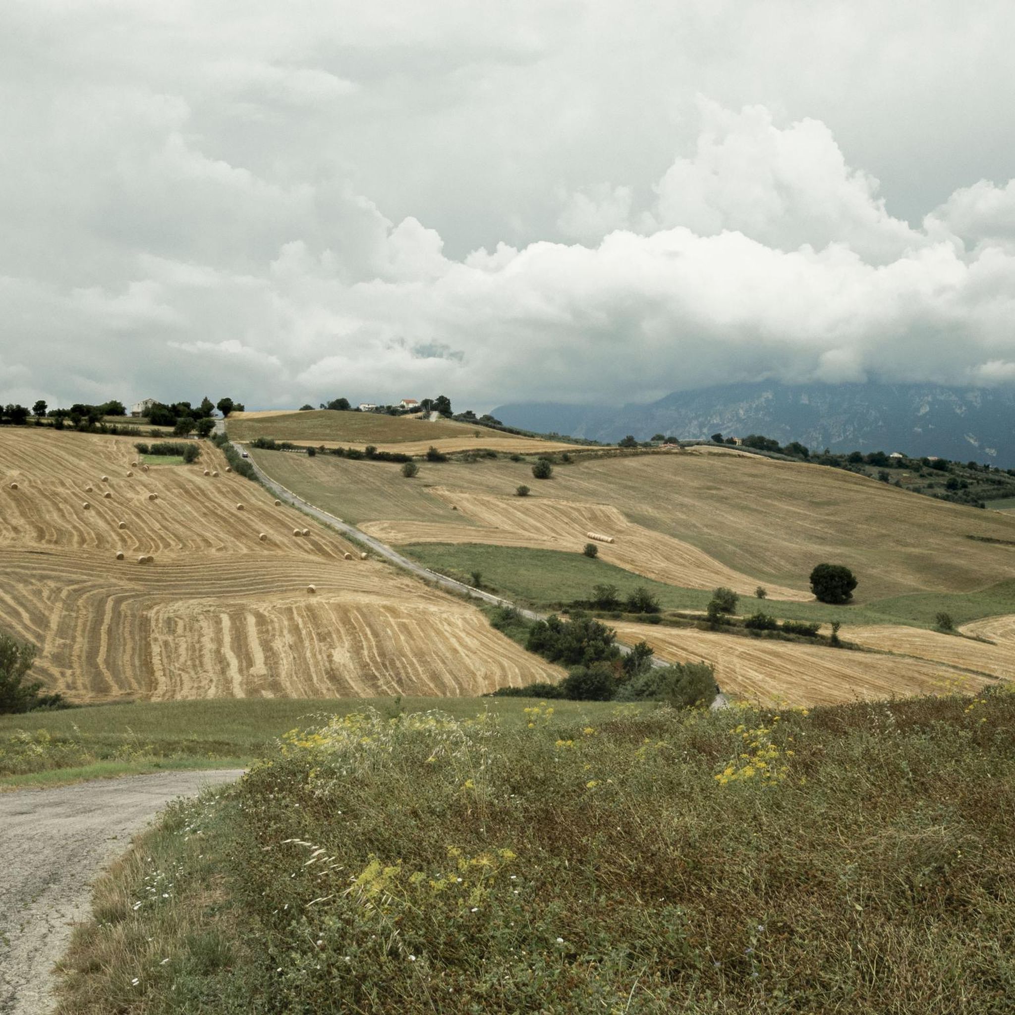
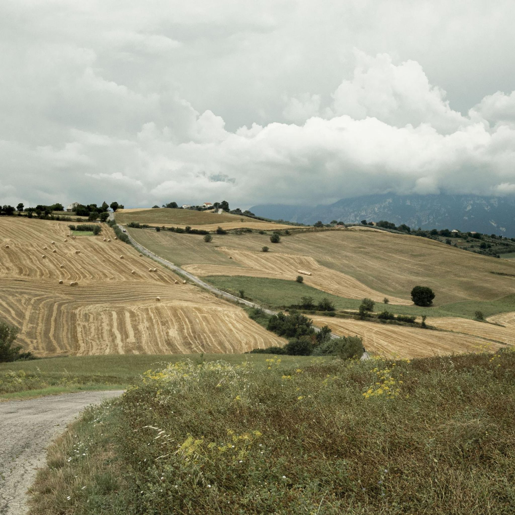
Road cycling around Tornareccio is characterized by varied terrain, situated on the slopes of Monte Pallano and overlooking the Sangro Valley. The region features a landscape of hills and woods, providing diverse elevation profiles for cyclists. Roads wind through the Abruzzo countryside, offering a range of gradients from challenging climbs to more gentle sections. This area provides a setting for road cycling that combines natural features with cultural points of interest.
Best road cycling routes around Tornareccio
- The most popular…
Last updated: October 8, 2026
52
riders
92.4km
04:47
1,560m
1,560m
Hard road ride. Very good fitness required. Mostly well-paved surfaces and easy to ride.
3.5
(2)
51
riders
79.6km
04:04
1,250m
1,260m
Hard road ride. Very good fitness required. Mostly well-paved surfaces and easy to ride.

33
riders
95.4km
05:03
1,770m
1,770m
Hard road ride. Very good fitness required. Mostly well-paved surfaces and easy to ride.
29
riders
82.0km
04:13
1,350m
1,360m
Hard road ride. Very good fitness required. Mostly well-paved surfaces and easy to ride.
26
riders
116km
05:16
1,190m
1,190m
Hard road ride. Very good fitness required. Mostly well-paved surfaces and easy to ride.
Get access to more routes and recommendations from other explorers.
Already have an account?
Our route recommendations are based on thousands of hikes, rides, and runs completed by other people on komoot.
Start today with a free account
Your next adventure awaits.


Tips from the Community

Suitable for Gravel or MTB, less so for road bikes on the dirt sections
0
0

Historic Franciscan monastery in an oasis of peace. The Convento di San Pasquale (officially the monastery of Santa Maria degli Angeli) is hidden in the greenery on the hill of Vallaspra, just outside the medieval town of Atessa. This impressive complex was founded as early as 1408 by the blessed Tommaso da Firenze. It is built entirely of natural stone and exudes a serene, historic atmosphere. Although the interior and the beautiful monastery garden with the central well (from 1709) are unfortunately often closed to the public due to varying opening hours, the complex is an absolute sight to behold from the outside. Under the large portico at the front, you can still admire a centuries-old fresco of the Pietà. Moreover, the quiet, shady surroundings are perfect for a well-deserved break during your sporting tour. Fun fact: the monastery used to lend its name to the well-known local herbal liqueur "Amaro San Pasquale", which was originally prepared by the monks with herbs from this valley.
2
0
Costa dei Trabocchi – Cycling between ‘giant wooden spiders’. The Via Verde dei Trabocchi is without a doubt one of the most spectacular cycle paths in Europe! This smoothly asphalted and largely flat path is over 50 kilometers long and reuses an old, abandoned railway line. You literally cycle a stone's throw from the Adriatic Sea, right through cooling historic railway tunnels, past hidden pebble coves (calette) and idyllic little harbors. The absolute stars of this route are the trabocchi. These unique, monumental wooden fishing huts on stilts rise above the turquoise water like gigantic spiders. In the past, they were used by resourceful farming families to fish safely from dry land, and today they house the most exclusive fish restaurants in the Abruzzo region. Why you must cycle this route: 🌊 Continuous sea view: No cars, no stress, just the sound of the surf and the smell of the sea. 🐟 Culinary stops: From a quick espresso in an authentic little harbor to a lavish lunch on a wooden platform floating above the waves. 🛠️ Unique heritage: The route breathes history and brings you face to face with centuries-old fishing traditions. 💡 Komoot tip! Rent an e-bike, bring your swimwear for a refreshing dip in one of the hidden bays, and don't forget to book your fish lunch on a trabocco weeks in advance!
5
0
Castello Aragonese – Historic viewpoint above the Adriatic Sea The Castello Aragonese is the impressive northern starting point of the Costa dei Trabocchi. This 15th-century fortress stands high on a steep cliff and offers you a magnificent view over the Adriatic Sea, the port of Ortona, and the coastline of the Via Verde dei Trabocchi. The massive round towers and thick fortress walls are reminiscent of a turbulent past. The castle withstood heavy fighting during World War II, after which part of the complex was lost. As if that were not enough, in 1946, a landslide caused almost half of the fortress to disappear into the sea. Today, it is one of the most beautiful viewpoints in Ortona and an ideal stop during your cycling or hiking tour. The castle ruins and inner courtyard are freely accessible. A short, steep climb awaits from the port, but it is amply rewarded with beautiful panoramas. Around the castle, you will also find cozy terraces and shady benches to catch your breath.
1
0
The stretch around San Vito Chietino and Marina di San Vito is considered the absolute highlight of the route. Here, spectacular views, historic railway tunnels, and the largest concentration of trabocchi alternate. An unforgettable coastal tour not to be missed.
5
0
Interesting facts about the location: Family heirloom: this specific trabocco was built in 1887 by the Verì family. To this day, the structure is still in the hands of their great-grandchildren. Floating restaurant: Nowadays, the platform serves as a unique fish restaurant. You literally dine on a wooden platform above the waves. In the middle of the restaurant, there is even a section of transparent glass floor that allows you to see the Adriatic Sea splashing beneath your feet while you eat. Marathon lunch: If you want to eat here, you need to significantly adjust your Komoot planning. They work with an extensive fixed fish menu (approx. €60 - €70 p.p.) of no less than 11 courses. Lunch starts punctually at 1:00 PM for all guests simultaneously and lasts at least 3 hours. Plan your time and enjoy !
5
0
Imagine: the Adriatic Sea shimmering beside you, a fresh sea breeze on your face, and an endless cycle path winding along the coast. The Via Verde dei Trabocchi is one of those routes where you don't really want the ride to end. This cycle path, over 50 kilometers long and largely flat, follows a former railway line and takes you along one of the most beautiful coastal stretches of Abruzzo. Along the way, you'll pass the iconic trabocchi: impressive wooden fishing platforms that seem to float on the sea on stilts. With their long arms and nets, they stand out against the horizon like gigantic wooden works of art. Thanks to the flat course, this route is suitable for almost everyone, from recreational cyclists to avid mileage eaters. Along the way, charming beaches, atmospheric villages, and countless spots beckon where you can stop for an espresso, an ice cream, or a fresh fish lunch with a sea view. The Via Verde dei Trabocchi is not just a cycle path, but an experience that effortlessly combines nature, culture, and relaxation. A route you must cycle at least once.
5
0

beautiful view of the mouth of the Sangro River.
0
0
Frequently Asked Questions
How many road cycling routes are available around Tornareccio?
There are over 70 road cycling routes around Tornareccio, offering a wide range of options for different skill levels. The majority of these routes are rated as moderate to difficult, with a few easier options available.
What kind of terrain can I expect when road cycling in Tornareccio?
Road cycling in Tornareccio offers diverse terrain, situated on the slopes of Monte Pallano and overlooking the Sangro Valley. You'll encounter varied elevation profiles, from challenging climbs on mountain roads to more gentle routes through picturesque hills and woods. The region provides stunning panoramic views of the Abruzzo countryside.
Are there road cycling routes suitable for beginners or families in Tornareccio?
While many routes around Tornareccio are rated as difficult (54 out of 71), there are 16 moderate routes and 1 easy route available. These easier options typically feature less elevation gain and can be more suitable for beginners or families looking for a more relaxed ride. Always check the route details on komoot for specific difficulty and elevation profiles.
What are some of the longer road cycling routes in the area?
Many routes in Tornareccio offer significant distances. For example, the Mouth of the Sangro River – Via Verde dei Trabocchi loop from Atessa is 66.4 miles (106.9 km) long, and the Rolling Hills Route – Bocca di Valle Fountain loop from Atessa covers 57.5 miles (92.5 km). These routes typically take several hours to complete, offering extensive exploration of the region.
What natural features or viewpoints can I see along the road cycling routes?
The routes often provide stunning views of the Abruzzo countryside, including the picturesque Sangro Valley and the slopes of Monte Pallano. You can also find panoramic views of Lake Casoli on routes like the View of Lake Casoli – Sources of the Verde River loop from Atessa. The area is characterized by hills and woods, offering a serene natural environment.
Are there any historical landmarks or attractions near the cycling routes?
Yes, the region around Tornareccio is rich in history and culture. You might encounter landmarks such as the Castello di Roccascalegna, a striking medieval castle, or the Convent of San Pasquale (Atessa). Tornareccio itself is known as an open-air museum with over ninety mosaics adorning its historic center, and it's also the 'City of Honey' (Città del Miele).
What is the best time of year for road cycling in Tornareccio?
The Abruzzo region generally offers good cycling conditions from spring through autumn. The varied terrain means you can enjoy cooler mountain air during warmer months or milder temperatures in the valleys during shoulder seasons. Always check the local weather forecast before heading out.
What do other road cyclists enjoy most about cycling in Tornareccio?
The road cycling routes around Tornareccio are highly rated by the komoot community, with an average score of 4.3 stars from over 30 reviews. Cyclists often praise the varied terrain, the breathtaking landscapes, and the pristine nature found along the winding roads through hills and woods.
Is there public transport available to reach the cycling routes in Tornareccio?
While Tornareccio is a charming town, public transport options directly to specific trailheads might be limited. It's advisable to check local bus schedules or consider driving to a starting point, especially if you're bringing your own bike. Many routes start from nearby towns like Atessa.
Where can I find parking for road cycling in Tornareccio?
As a small town, Tornareccio typically offers street parking or small public parking areas within or near its historic center. For routes starting from larger nearby towns like Atessa, you'll likely find more designated parking facilities. Always look for signs indicating parking regulations.
Are there any routes that offer views of Lake Bomba?
Yes, some routes provide views of Lake Bomba. For instance, the Lake Bomba – Views of Tornareccio loop from Atessa and the Lake Bomba – Pietraferrazzana Rock Spur loop from Atessa both incorporate this scenic lake into their itineraries, offering beautiful waterside vistas.
Can I combine road cycling with exploring the Adriatic coast?
While Tornareccio is inland, its position in Abruzzo means the Adriatic coast is accessible for longer rides. Abruzzo is recognized as a bike-friendly region, and you could potentially connect to the ambitious 'Bike to Coast' route along the Adriatic shoreline for a diverse cycling experience. More information can be found on Italia.it.
Most popular attractions around Tornareccio

Get inspired with the komoot mobile app


Explore more
Browse the best Road cycling routes in other regions.
