The best road cycling routes around Fresagrandinaria
3.8
(26)
476
riders
53
rides
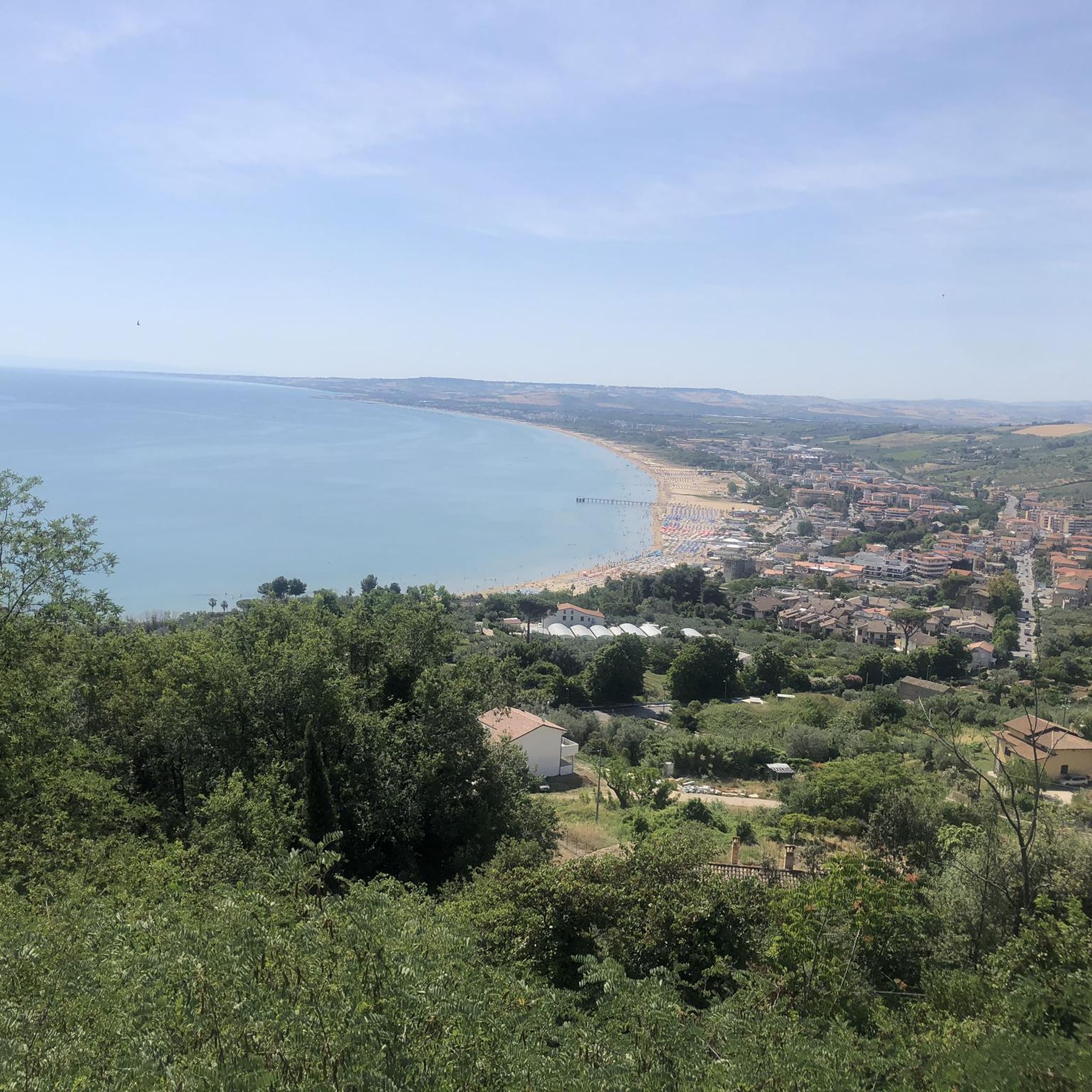
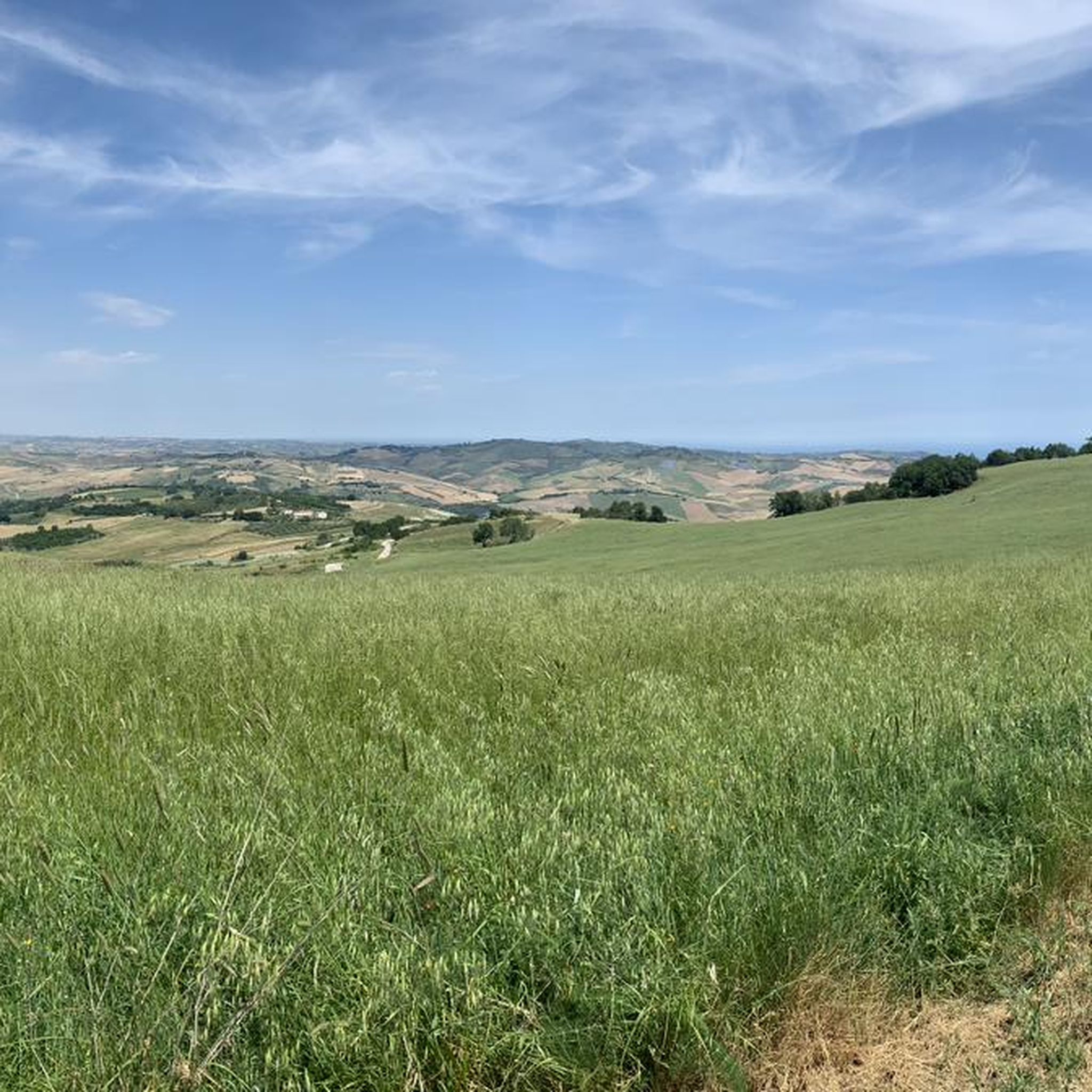
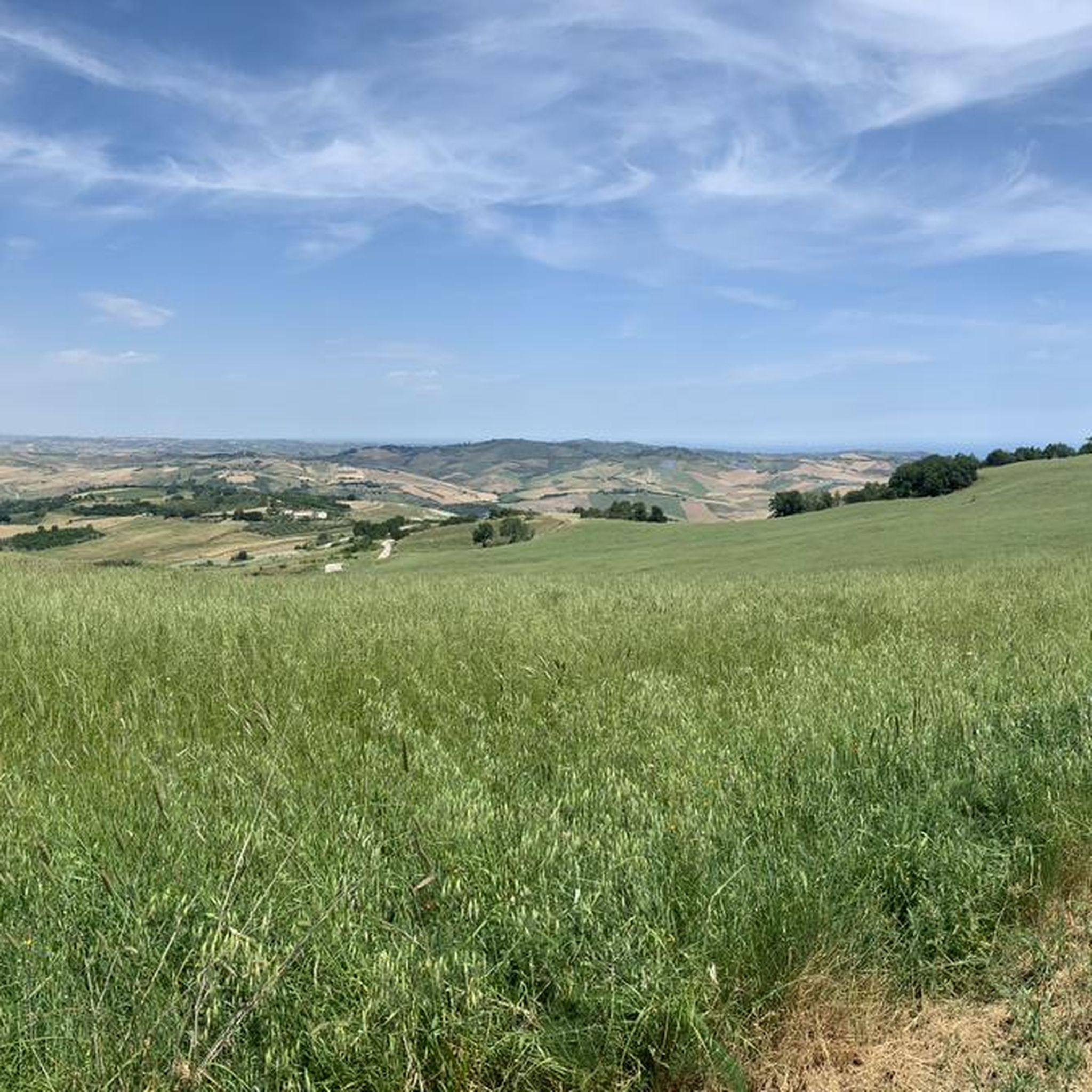
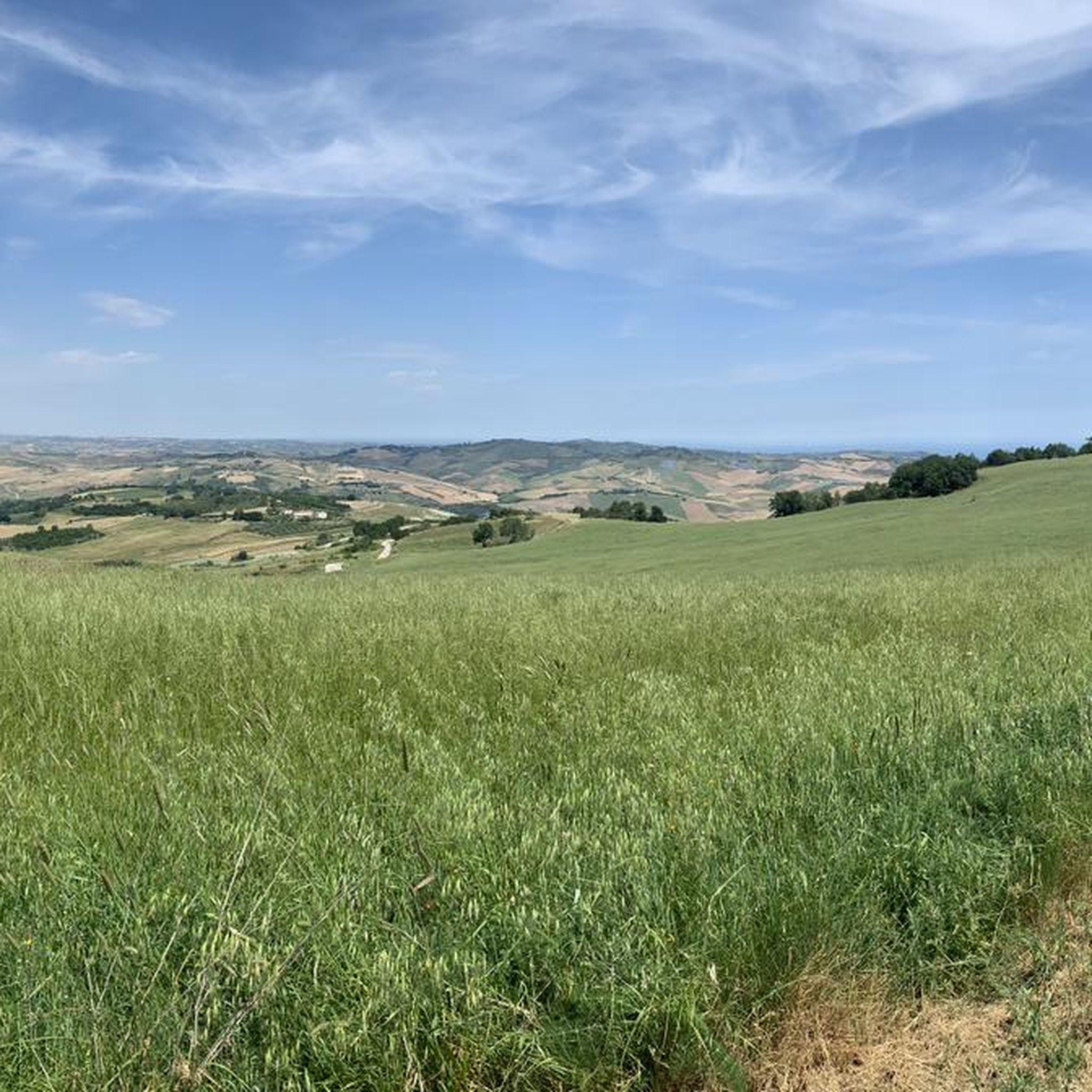
Road cycling around Fresagrandinaria offers diverse terrain in Italy's Abruzzo region, situated at an altitude of approximately 390 meters. The area features varied landscapes, including the unique erosive forms of the Calanchi di Montenero badlands and panoramic views of the Majella and Gran Sasso Massifs. Cyclists can expect routes with both challenging ascents and descents, traversing hills and offering expansive vistas across the Val Sinello. This region provides a compelling setting for road cycling, combining natural features with a historical…
Last updated: July 5, 2026
4.2
(6)
34
riders
29.4km
01:23
240m
240m
Moderate road ride. Great for any fitness level. Some segments of this route may be unpaved and difficult to ride.
32
riders
86.0km
03:55
870m
870m
Moderate road ride. Good fitness required. Mostly well-paved surfaces and easy to ride.

Sign up for free
5.0
(2)
50
riders
96.4km
04:45
1,470m
1,470m
Hard road ride. Very good fitness required. Mostly well-paved surfaces and easy to ride.
5.0
(1)
31
riders
56.2km
02:37
550m
560m
Moderate road ride. Good fitness required. Mostly well-paved surfaces and easy to ride.
3.0
(3)
29
riders
37.6km
01:56
530m
530m
Moderate road ride. Good fitness required. Mostly well-paved surfaces and easy to ride.
Get access to more routes and recommendations from other explorers.
Sign up for free
Already have an account?
Our route recommendations are based on thousands of hikes, rides, and runs completed by other people on komoot.
Start today with a free account
Your next adventure awaits.
Login or Signup
Tips from the Community


Probably the best place for lunch in Italy. A must stop if you are within 100 miles! Antonello is the perfect host
0
0

Short tour but with beautiful landscapes.
0
0


An important part of the defense system, a sturdy wall that surrounded the old village.
0
0

Imposing military lighthouse, located on Punta Penna from which it dominates the marine horizon. Very clearly visible also from Punta Aderci. Unfortunately there is not yet a cycle path that leads to this point, in fact we left it at Punta Vignola and will take it again at the entrance to the Punta Aderci Park.
0
0
A sculptural work by the author Aldo d'Adamo, 3.70 meters high, it shows from afar the agile silhouette of a girl adjusting her bathing suit before diving into the sea. "A tribute to female beauty and the many qualities of women" in the words of the author.
0
1
Frequently Asked Questions
What kind of terrain can I expect on road cycling routes around Fresagrandinaria?
Road cycling around Fresagrandinaria offers a diverse mix of terrain. You'll encounter varied landscapes, including hills with both challenging ascents and exhilarating descents. The region is situated at an altitude of approximately 390 meters, providing a strategic starting point for routes that traverse expansive vistas and unique geological formations like the Calanchi di Montenero badlands.
Are there routes suitable for beginner road cyclists in Fresagrandinaria?
Yes, while many routes offer significant challenges, there are options for varying ability levels. Out of the 52 road cycling routes available, 30 are rated as moderate, providing a good balance for those looking for an enjoyable ride without extreme difficulty. For example, the Monument to the Bather – View of Montenero di Bisaccia loop from Mafalda is a moderate 45.3-mile path with scenic views.
What are some notable natural features or viewpoints I can see while cycling?
The region boasts breathtaking natural features and panoramic viewpoints. You can enjoy views of the unique Calanchi di Montenero badlands, characterized by their erosive forms. Cyclists can also experience dramatic distant views of the Majella Massif, the Gran Sasso Massif with Monte Camicia, and the Monti Gemelli della Laga. The lower part of Val Sinello is also visible from elevated points, adding to the expansive scenery.
Are there any historical or cultural landmarks along the road cycling routes?
Yes, Fresagrandinaria is a medieval village with historical buildings. Routes like the Church Tower of Palata – View of Montenero di Bisaccia loop from Mafalda lead through varied terrain with historical landmarks. You might also encounter cultural points of interest such as the small church of Madonna delle Grazie or the Museum of Farming and Migration of the Trigno Valley in the broader area.
What is the best time of year for road cycling in Fresagrandinaria?
The Abruzzo region, where Fresagrandinaria is located, is highlighted as an ideal destination for cycling tourism. While specific seasonal advice isn't detailed, the diverse terrain and natural beauty suggest that spring and autumn would offer pleasant temperatures and vibrant landscapes, making them excellent times to explore the routes.
Are there any family-friendly road cycling options in the area?
While many routes involve significant elevation, the presence of moderate difficulty paths suggests that some sections or shorter routes could be suitable for families with older children or those comfortable with varied terrain. It's always recommended to check the specific route details for distance and elevation gain to ensure it matches your family's ability.
What do other road cyclists say about the routes around Fresagrandinaria?
The road cycling routes around Fresagrandinaria are highly rated by the komoot community, with an average score of 4.5 stars from over 50 reviews. More than 770 road cyclists have used komoot to explore the varied terrain, often praising the diverse landscapes, challenging climbs, and expansive vistas.
Are there any circular road cycling routes available?
Yes, many of the routes around Fresagrandinaria are designed as loops, allowing you to start and finish in the same location. For example, the popular Roadbike loop from San Salvo is a challenging 59.9-mile circular route, and the View of Montenero di Bisaccia – View of the badlands loop from Mafalda offers a moderate 31.7-mile option.
Can I find routes that pass by the coast or natural reserves?
While Fresagrandinaria is inland, the broader Abruzzo region extends to the Adriatic coastline. The Marina di Vasto Regional Nature Reserve, with its blend of vegetation and sea, is a noteworthy passage for nature lovers. Some routes, like the Monument to the Bather – View of Montenero di Bisaccia loop from Mafalda, provide scenic views towards Montenero di Bisaccia and the coast, suggesting the possibility of extending rides towards coastal areas.
How many road cycling routes are there in total around Fresagrandinaria?
There are over 50 road cycling routes available around Fresagrandinaria, offering a wide range of options for cyclists of all levels. These routes vary in distance, elevation gain, and difficulty, ensuring there's something for everyone.
Are there any routes that offer views of the Majella Massif?
Yes, from certain provincial roads in the vicinity of Fresagrandinaria, cyclists can enjoy breathtaking panoramic views extending towards the majestic Majella Massif. These distant mountain vistas add a dramatic element to many road cycling routes in the area.
What is the longest road cycling route available?
One of the longer and more challenging routes is the Roadbike loop from San Salvo, which spans 59.9 miles (96.4 km) and features significant elevation gain, making it a demanding experience for advanced cyclists.
Most popular attractions around Fresagrandinaria

Get inspired with the komoot mobile app


Explore more
Browse the best Road cycling routes in other regions.
