The best road cycling routes around Rocca Canterano
3.9
(114)
2,680
riders
66
rides
Road cycling routes around Rocca Canterano are characterized by challenging mountainous terrain and significant elevation gains within the Ruffi and Simbruini Mountains. Situated at 750 meters above sea level, the area offers panoramic views of the Aniene Valley and the surrounding Lazio countryside. Cyclists will find forested slopes and lush woods, with many routes utilizing quiet, paved roads that minimize traffic. This region provides a demanding yet scenic environment for road cyclists.
Best road cycling routes around Rocca Canterano
- The…
Last updated: July 10, 2026
5.0
(1)
28
riders
90.5km
06:03
2,810m
2,820m
Hard road ride. Very good fitness required. Some segments of this route may be unpaved and difficult to ride.
4.7
(3)
494
riders
86.7km
05:07
2,090m
2,090m
Hard road ride. Very good fitness required. Some segments of this route may be unpaved and difficult to ride.

Sign up for free
5.0
(2)
188
riders
112km
06:24
2,460m
2,460m
Hard road ride. Very good fitness required. Some segments of this route may be unpaved and difficult to ride.
84
riders
94.0km
04:56
1,670m
1,670m
Hard road ride. Very good fitness required. Some segments of this route may be unpaved and difficult to ride.
33
riders
87.0km
04:36
1,550m
1,550m
Hard road ride. Very good fitness required. Some segments of this route may be unpaved and difficult to ride.
Get access to more routes and recommendations from other explorers.
Sign up for free
Already have an account?
Our route recommendations are based on thousands of hikes, rides, and runs completed by other people on komoot.
Start today with a free account
Your next adventure awaits.
Login or Signup

Tips from the Community


The plateau is beautiful, but the buildings are much less so, often dilapidated, an example of the building outrage of the seventies.
3
0

The river Aniene passes underneath it
1
0

the San Francesco Bridge connects the two banks of the Aniene river at the entrance to the city of Subiaco (RM). Entirely built in blocks of local stone called cardellino, it is a perfectly preserved humpback bridge on a single span with a guard tower on one side.
1
0
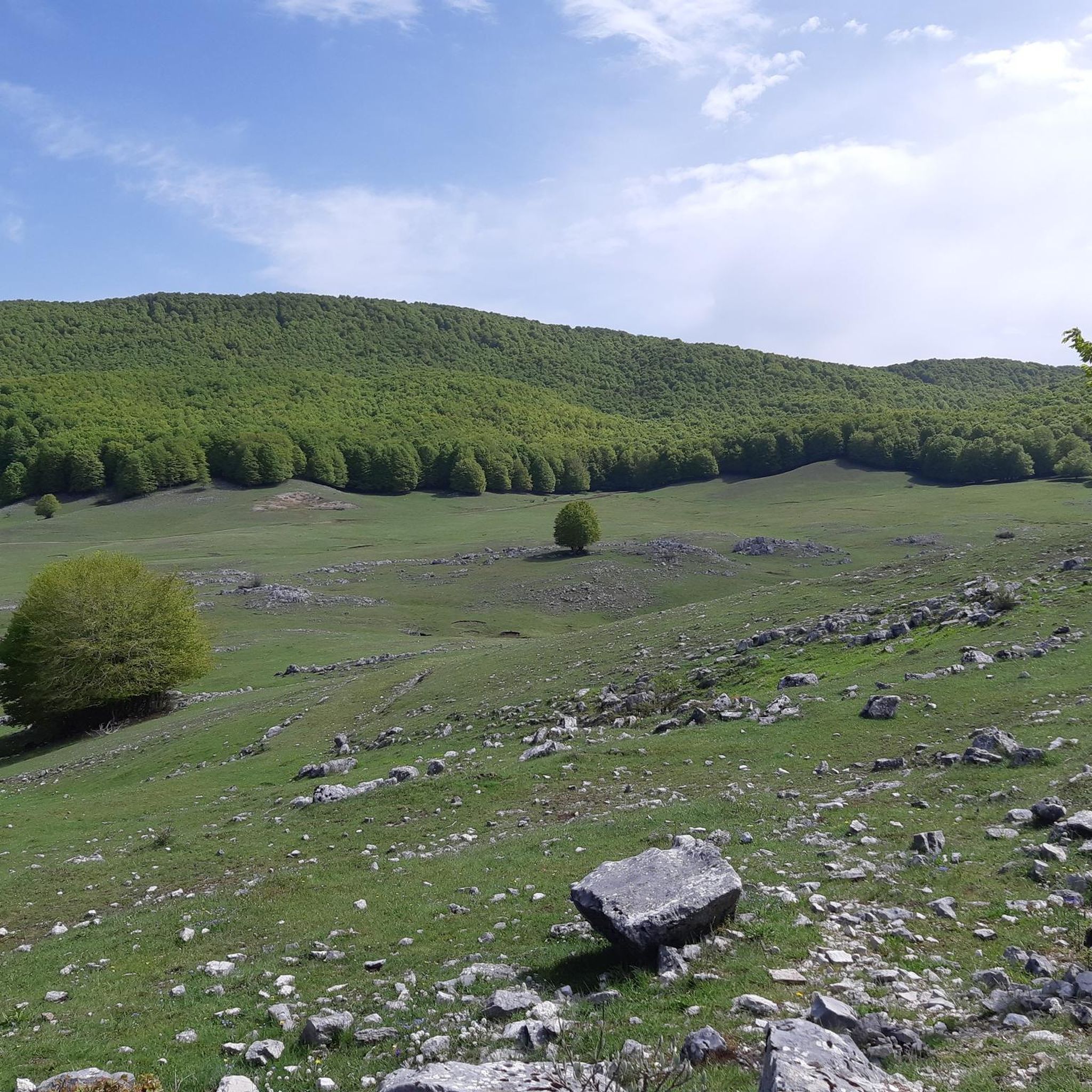
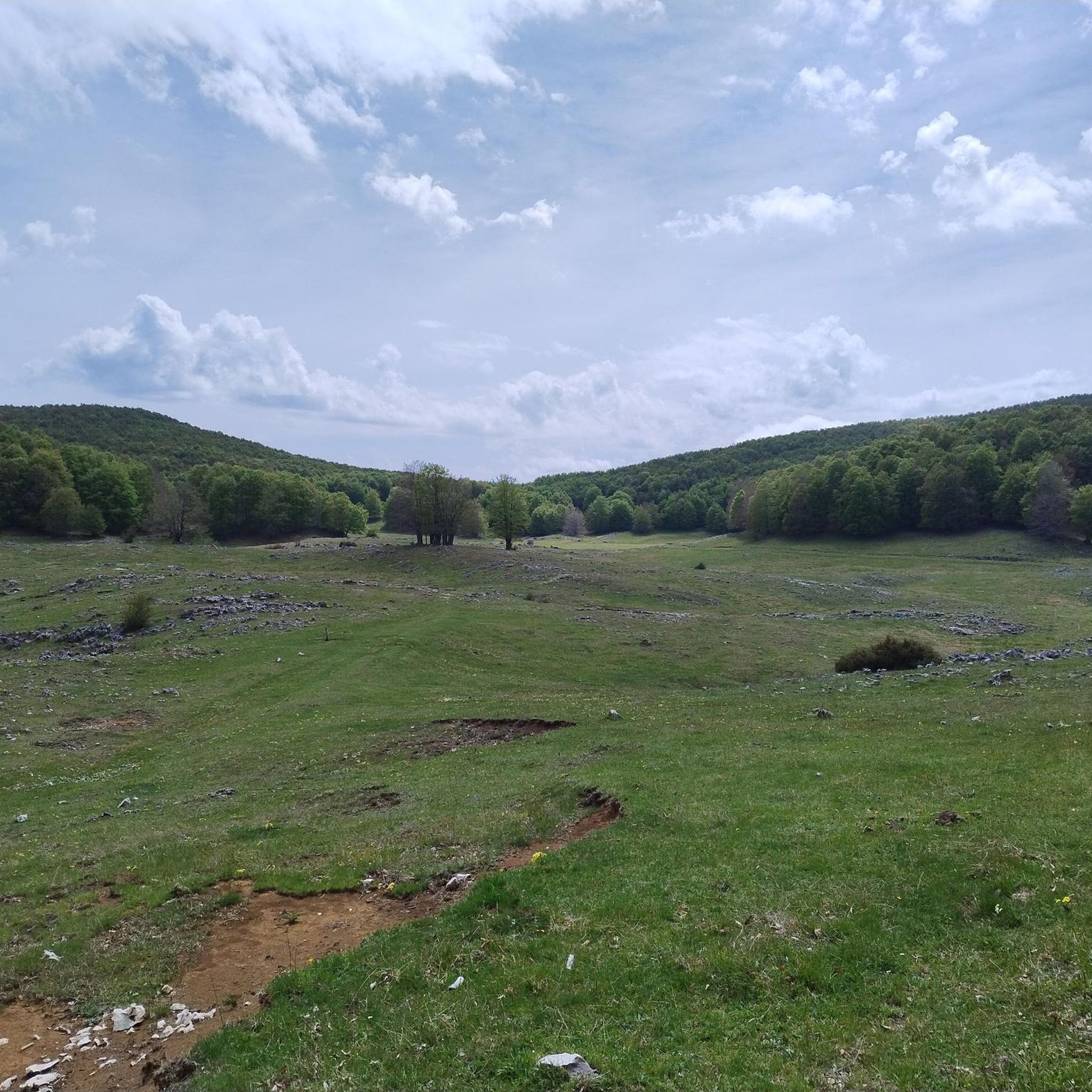
Arcinazzo plateaus, is a mountain resort located at an average height of 850 meters
0
0
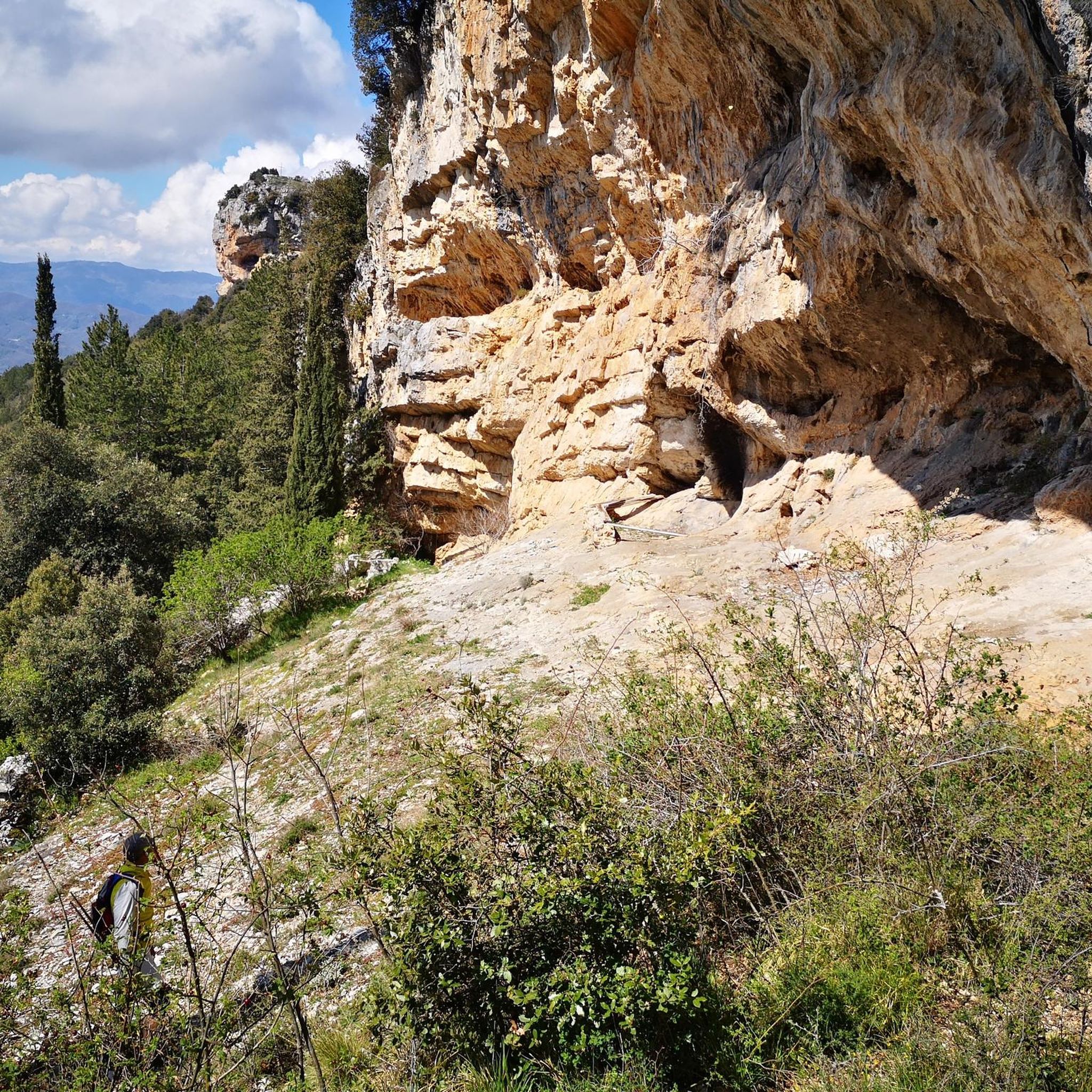
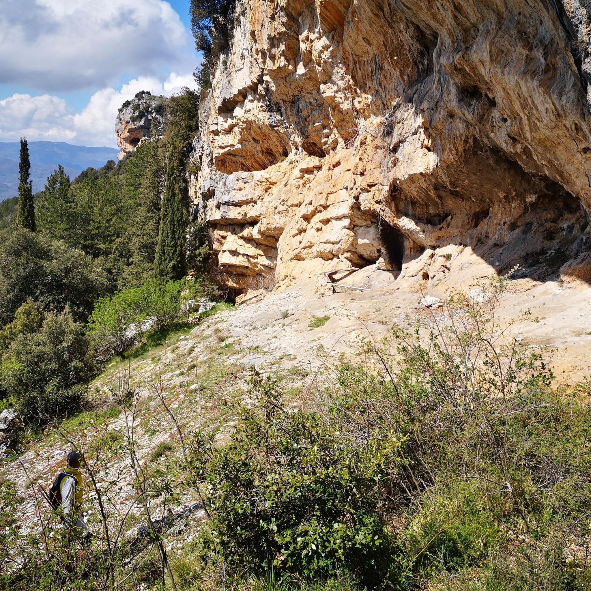
In the heart of the Aniene Valley, Subiaco is a medieval village rich in history, art and culture. It is immersed in the flora and fauna of the Simbruini Mountains Regional Natural Park.
0
0


The Simbruini Mountains Park is a protected mountain area with peaks reaching 2000 meters in altitude. Here you pedal immersing yourself in breathtaking views!
1
0
Frequently Asked Questions
What kind of terrain can I expect when road cycling around Rocca Canterano?
Road cycling around Rocca Canterano is characterized by challenging mountainous terrain within the Ruffi and Simbruini Mountains. You'll encounter significant elevation gains, offering a demanding yet scenic environment. The region features a mix of hills, mountains, forested slopes, and lush woods, often on quiet, paved roads with minimal traffic.
How many road cycling routes are available in the Rocca Canterano area?
There are over 50 road cycling routes around Rocca Canterano, catering to various ability levels. The majority, about 30, are classified as difficult, with another 19 considered moderate, and a few easier options for less experienced riders.
What are some notable viewpoints or natural features I might encounter on a road cycling route?
Many routes offer breathtaking panoramic views of the Aniene Valley and the surrounding Lazio countryside. Specific natural highlights include the Rioscuro Stream Waterfalls and the serene San Benedetto Lake. You might also pass by the Monte Calo Summit, offering expansive vistas.
Are there any historical or cultural landmarks along the road cycling routes?
Yes, the region is rich in history. You can explore sites like the Villa of Nero Ruins near Subiaco, or the Ruins of Camerata Vecchia. Religious sites such as the Monastery of Saint Benedict and Sacred Cave are also accessible, with routes like the Ascent to the Monastery of Saint Benedict on the Via dei Monasteri.
What is a challenging long-distance road cycling route in the area?
For a significant challenge, consider the Monti Simbruini Park Loop. This difficult 56.2-mile (90.5 km) route features substantial climbs through the Monti Simbruini Natural Regional Park and typically takes over 6 hours to complete.
Are there any circular road cycling routes that include significant ascents?
Yes, a popular circular route is the Subiaco – Ascent to Monte Livata loop from Roviano. This difficult 53.8-mile (86.7 km) path includes a substantial climb towards Monte Livata, providing expansive views of the surrounding mountain ranges.
What do other cyclists say about road cycling in Rocca Canterano?
The road cycling routes around Rocca Canterano are highly rated by the komoot community, with an average score of 4.2 stars from over 70 reviews. Cyclists often praise the challenging ascents, the stunning panoramic views of the Aniene Valley, and the quiet, well-maintained roads that offer an immersive experience.
Is there a long route that explores the Altipiani di Arcinazzo?
Absolutely. The Altipiani di Arcinazzo – Ascent to Monte Livata loop from Roviano is a challenging 68.3-mile (110.0 km) route that leads through the scenic Altipiani di Arcinazzo and towards Monte Livata, typically taking around 6 hours and 18 minutes.
Can I find routes that offer views of the Velino mountain range?
Yes, the Monte Bove Pass – Roccacerro, Velino view loop from Roviano is a difficult 93.8 km route that offers impressive views, including those of the Velino mountain range, as it traverses the Monte Bove Pass and Roccacerro area.
What is the best time of year to go road cycling in Rocca Canterano?
The region's forested slopes and lush woods are particularly beautiful in spring when covered with a variety of flowers, making it an ideal time for scenic rides. The mountainous terrain can be challenging, so milder seasons like spring and autumn generally offer the most comfortable conditions for cycling.
Are there any routes that start from Subiaco and head towards Monte Livata?
Yes, the Altipiani di Arcinazzo – Ascent to Monte Livata loop from Subiaco is a demanding 107.5 km route that begins in Subiaco and includes a significant ascent towards Monte Livata, offering a challenging and rewarding experience.
Most popular attractions around Rocca Canterano

Get inspired with the komoot mobile app


Explore more
Browse the best Road cycling routes in other regions.
