The best walks and hikes around Rannstedt
4.6
(1535)
6,482
hikers
338
hikes
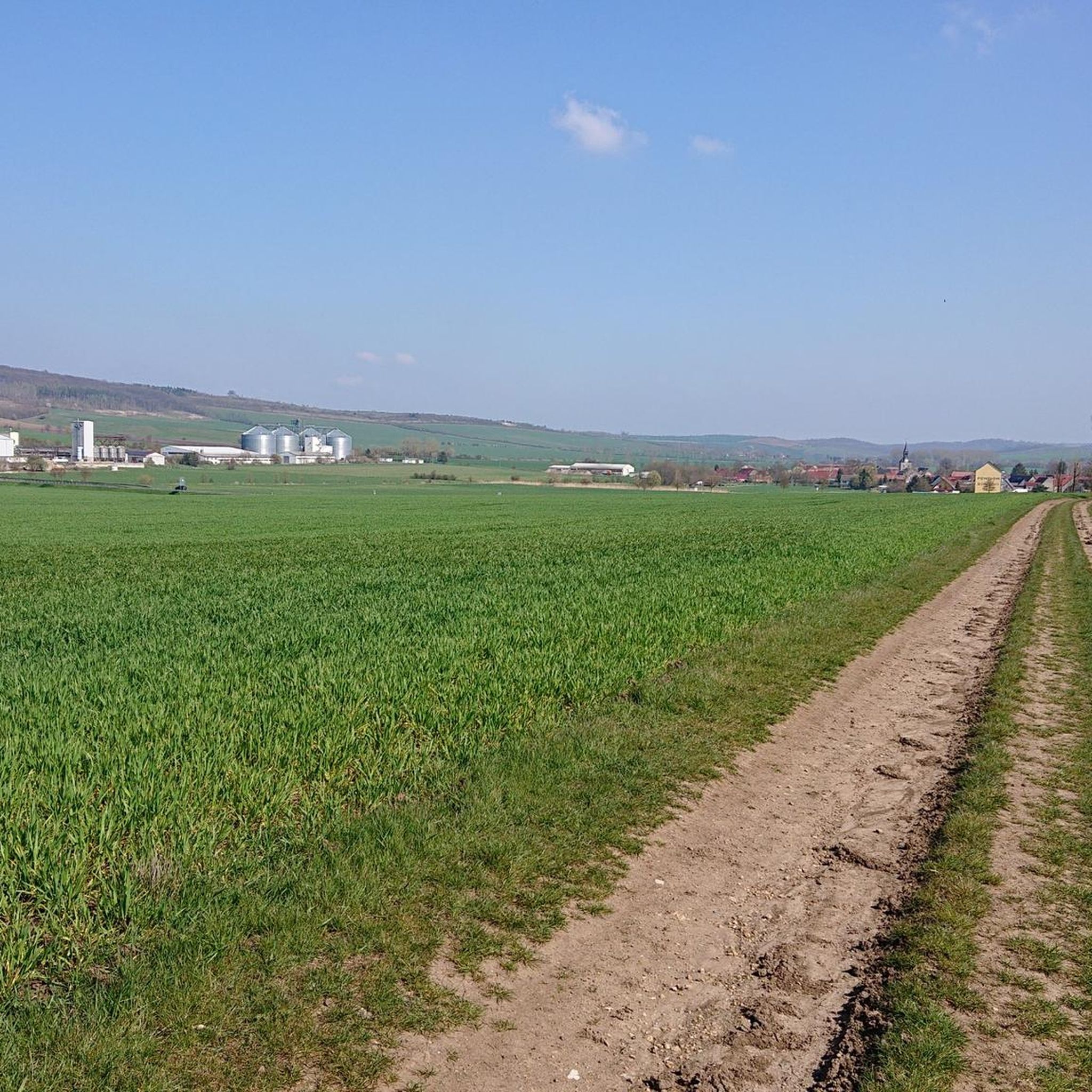
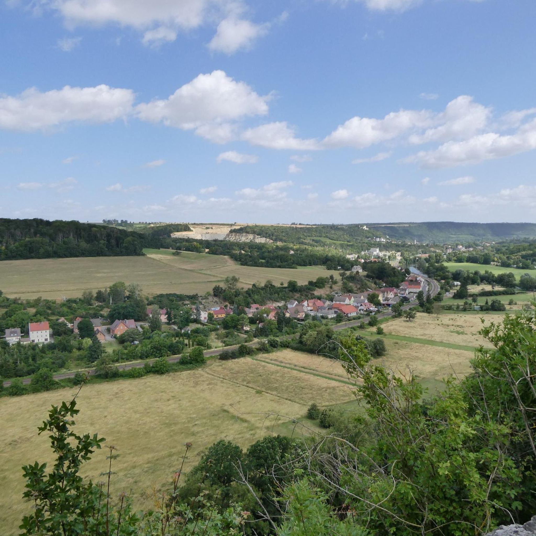
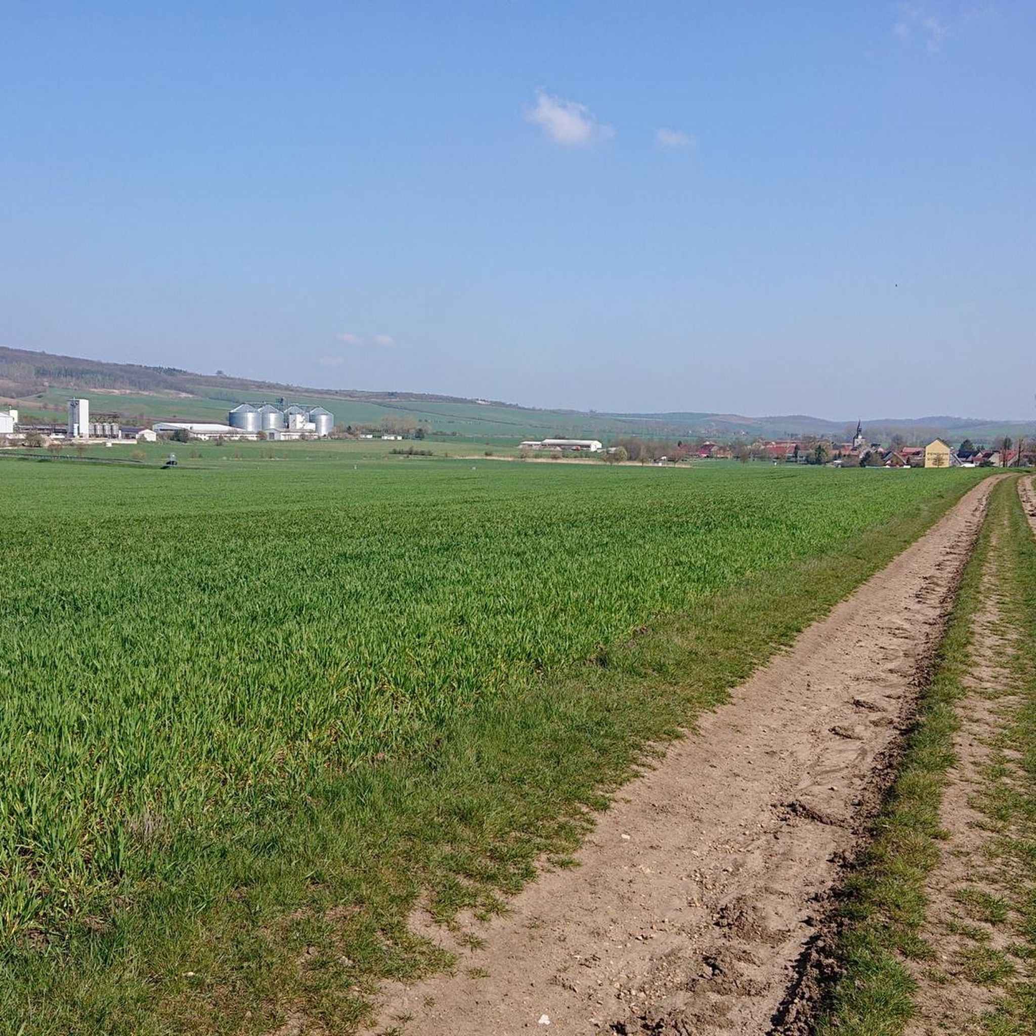
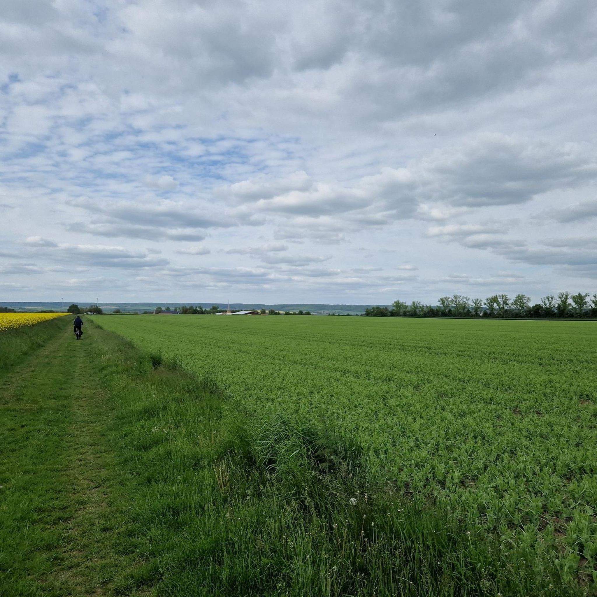
Hiking around Rannstedt provides access to diverse landscapes within the Weimarer Land district of Thuringia, Germany. The region features the picturesque Ilm River Valley, offering riverine paths and forested sections. It is also integrated into the Saale-Unstrut-Triasland Nature Park, known for its unique geological formations, vineyards, and hilly terrain. Extensive forests and meadows further define the natural environment, providing varied hiking opportunities.
Best hiking trails around Rannstedt
- The most popular hiking route is Louise Graduation Tower – Thuringian Wine Gate,…
Last updated: July 8, 2026
4.3
(34)
145
hikers
Moderate hike. Good fitness required. Easily-accessible paths. Suitable for all skill levels.
4.9
(7)
19
hikers
10.1km
02:46
170m
170m
Moderate hike. Good fitness required. Easily-accessible paths. Suitable for all skill levels.

Sign up for free
5.0
(2)
10
hikers
13.1km
03:37
220m
220m
Moderate hike. Good fitness required. Easily-accessible paths. Suitable for all skill levels.
4.0
(4)
19
hikers
Moderate hike. Good fitness required. Easily-accessible paths. Suitable for all skill levels.
4.3
(3)
10
hikers
8.93km
02:23
100m
100m
Moderate hike. Good fitness required. Easily-accessible paths. Suitable for all skill levels.
Get access to more routes and recommendations from other explorers.
Sign up for free
Already have an account?
Our route recommendations are based on thousands of hikes, rides, and runs completed by other people on komoot.
Start today with a free account
Your next adventure awaits.
Login or Signup
Tips from the Community

A stop here is always worthwhile, there is something to eat and delicious beer. It's self-service, but they are always very nice.
1
0

Impressive and historic mill located directly on the cycle path.
0
0


Auerstedt Castle was the headquarters of the Prussian army during the famous Battle of Jena and Auerstedt in 1806. Today, you can visit not only a small memorial and a local history museum, but also marvel at the Klassik Stiftung Weimar's magnificent collection of historic carriages. If you're up for it, you can stay longer: The castle houses a hotel, vacation apartments, and a restaurant.
1
0

Great view with inviting seating to relax.
0
0
Beautifully situated on the hiking trail. Benches invite you to linger. With a beautiful view.
1
0
A very well-maintained hotel complex. It's beautifully quiet and ideal for relaxation.
1
0

When Goethe wrote his ballad “The Faithful Eckart,” he is said to have been sitting in front of the romantic ruins of Eckartsburg Castle – at least that is what the inscription on the Goethe monument in front of the castle claims.
20
0
Frequently Asked Questions
How many hiking trails are available around Rannstedt?
There are over 350 hiking routes available around Rannstedt, offering a wide variety of experiences. These include paths through river valleys, vineyard-dotted hills, and extensive forests, catering to different preferences and fitness levels.
What kind of terrain can I expect when hiking near Rannstedt?
The terrain around Rannstedt is quite diverse. You can expect picturesque riverine landscapes along the Ilm River, unique geological formations of shell limestone and red sandstone within the Saale-Unstrut-Triasland Nature Park, and scenic trails through vineyards and extensive forests. The region is known for its hilly character, sometimes referred to as 'Thuringian Tuscany'.
Are there hiking options for different fitness levels?
Yes, the trails around Rannstedt cater to various fitness levels. You'll find over 190 easy routes perfect for leisurely strolls, around 140 moderate trails for those seeking a bit more challenge, and a few more difficult options for experienced hikers. This ensures there's something for everyone, from beginners to seasoned adventurers.
What are some notable landmarks or attractions to see while hiking?
Many trails incorporate interesting landmarks. Near Bad Sulza, you can visit the historic Carl Alexander-Sophien Spring and the Kurpark Bad Sulza. The Louise Graduation Tower – Thuringian Wine Gate, Bad Sulza loop from Niedertrebra passes by the historic salt-evaporation facility. Other routes, like the Eckartsburg Castle – Napoleonslinden Viewpoint loop from Auerstedt, feature historic castles and offer panoramic views.
Where can I find scenic viewpoints around Rannstedt?
The region offers several scenic viewpoints, particularly from the vineyard-dotted hills. The Eckartsburg Castle – Napoleonslinden Viewpoint loop from Auerstedt is known for its panoramic views from the Napoleonslinden Viewpoint. Many trails through the vineyards in the Bad Sulza area also provide expansive vistas of the surrounding 'Thuringian Tuscany' landscape.
What do other hikers enjoy most about the trails around Rannstedt?
The hiking trails around Rannstedt are highly rated by the komoot community, with an average score of 4.6 stars from over 1,400 reviews. Hikers often praise the diverse landscapes, including the peaceful river valleys, charming vineyards, and extensive forests. The variety of routes catering to different abilities and the presence of historical landmarks are also frequently highlighted.
Are there family-friendly hiking trails near Rannstedt?
Yes, Rannstedt offers numerous family-friendly options. With over 190 easy routes, you can find leisurely walks along the Ilm River or through gentle forest paths that are suitable for all ages. These trails often feature minimal elevation changes, making them ideal for families with children.
Can I bring my dog on the hiking trails around Rannstedt?
Generally, dogs are welcome on most hiking trails in the Rannstedt area. It's always recommended to keep your dog on a leash, especially in nature reserves, near wildlife, or in agricultural areas, and to carry waste bags. There are no specific restrictions mentioned for dogs on the trails themselves.
Are there circular hiking routes available?
Yes, many of the hiking trails around Rannstedt are designed as circular routes, allowing you to start and end at the same point. Examples include the Louise Graduation Tower – Thuringian Wine Gate, Bad Sulza loop from Niedertrebra and the Utenbach Spring – Utenbacher Schweiz Hiking Trail loop from Obertrebra, which offer convenient exploration of the area's natural beauty and landmarks.
What is the best time of year to go hiking in Rannstedt?
Rannstedt offers enjoyable hiking experiences throughout the year. Spring brings flowering meadows and fresh greenery, while autumn transforms the vineyards and forests with vibrant colors. Summer is ideal for shaded forest walks, and even winter can offer serene, crisp hikes, especially in the wooded areas. The choice depends on your preference for scenery and weather.
Are there any natural springs or water features along the trails?
Yes, the region is home to several natural water features. You can find the Carl Alexander-Sophien Spring in Kurpark Bad Sulza and the Bonifatius Spring. The Ilm River flows nearby, and its confluence with the Saale River is another notable natural point of interest (Confluence of Ilm and Saale).
Are there places to rest or find shelter along the hiking routes?
Yes, you can find various shelters and huts in the area. For example, the Eberstedt Shelter Maus Dick and the Ettenberg Shelter with a View of the Finne Foothills provide spots for a break. Some routes may also pass by facilities like the Eberstedt Oil Mill & Floating Hut Village.
Most popular attractions around Rannstedt

Get inspired with the komoot mobile app


Explore more
Browse the best Hikes in other regions.
