The best road cycling routes around Tufillo
4.6
(11)
209
riders
20
rides
Road cycling routes around Tufillo traverse a landscape characterized by significant elevation changes, offering challenging climbs and descents. The region features rolling hills and panoramic viewpoints, with routes often connecting rural villages and offering glimpses of distant coastal areas. This terrain provides varied conditions for road cyclists, from sustained ascents to winding roads through agricultural land.
Best road cycling routes around Tufillo
- The most popular road cycling route is Steep Ramp to France – Panoramic Fountain loop from San Giovanni…
Last updated: October 8, 2026
5.0
(1)
52
riders
80.1km
03:55
1,130m
1,130m
Hard road ride. Very good fitness required. Mostly well-paved surfaces and easy to ride.
44
riders
68.4km
03:28
1,120m
1,120m
Hard road ride. Very good fitness required. Mostly well-paved surfaces and easy to ride.

4.7
(3)
27
riders
55.3km
03:02
1,120m
1,120m
Hard road ride. Very good fitness required. Mostly well-paved surfaces and easy to ride.
5.0
(1)
15
riders
Moderate road ride. Good fitness required. Some segments of this route may be unpaved and difficult to ride.
7
riders
58.0km
03:10
1,180m
1,180m
Hard road ride. Very good fitness required. Mostly well-paved surfaces and easy to ride.
Get access to more routes and recommendations from other explorers.
Already have an account?
Our route recommendations are based on thousands of hikes, rides, and runs completed by other people on komoot.
Start today with a free account
Your next adventure awaits.
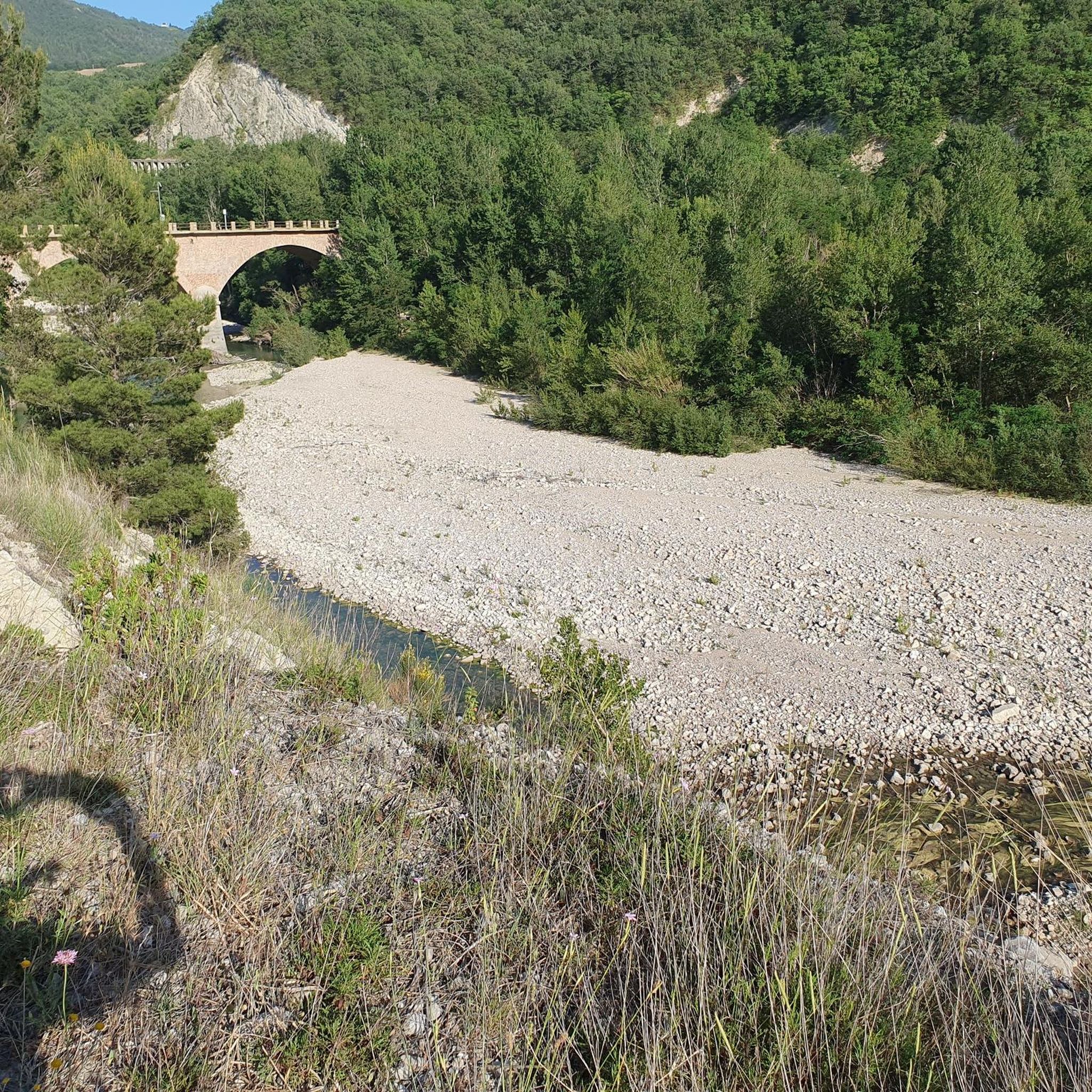
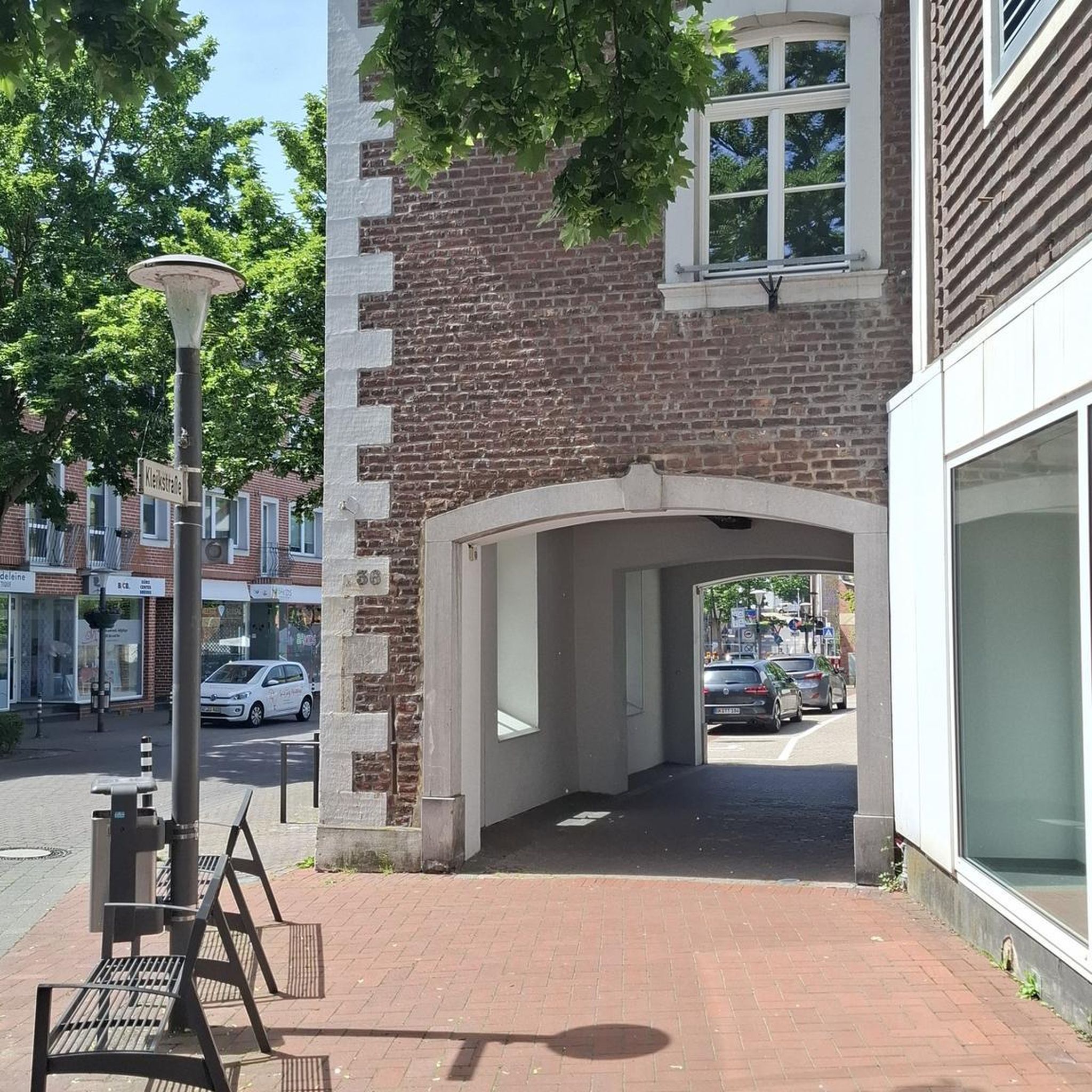


Tips from the Community

Palata is a municipality located in the province of Campobasso, Molise. It is known for its medieval streets, historic buildings and captivating natural scenery. Its history and culture are rooted in the rural environment, with an additional influence of the Croatian migrations of the 16th century.
0
0

Nothing less than the starting point of the ninth stage of the Giro d'Italia 2017 with arrival on the Blockhaus!
1
0
With its land area of just over 100 square km it is considered the largest of the municipalities in Molise.
0
0

Lentella is a small town that is part of the Medio Vastese mountain community. You can admire various testimonies of the Bronze Age and the Middle Ages, such as the Manno Castle.
1
0

Beautiful climb surrounded by greenery with peaks of 8% 9% and then cross the hill on the side of Schiavi d'abruzzo
0
0
The slope is constant about 4% 5%, perfect road surface. Breathtaking panorama. On clear days you can see the peaks of Monte Amaro.
0
0
Fountain completely immersed in nature. enjoys a beautiful view.
0
0

Newly paved road with gentle gradients and wonderful views. But: officially prohibited for bicycles
0
0
Frequently Asked Questions
What kind of terrain can I expect on road cycling routes around Tufillo?
Road cycling routes in Tufillo are characterized by significant elevation changes, offering challenging climbs and descents. You'll encounter rolling hills, winding roads through agricultural land, and panoramic viewpoints, sometimes with glimpses of distant coastal areas. The terrain provides varied conditions, from sustained ascents to scenic village connections.
How many road cycling routes are available in the Tufillo area?
There are over 15 road cycling routes available around Tufillo, offering a range of experiences for cyclists.
Are there any easy or beginner-friendly road cycling routes in Tufillo?
The road cycling routes around Tufillo are generally considered moderate to difficult, with significant elevation changes. There are no routes specifically categorized as easy, so beginners should be prepared for challenging terrain.
What are some of the more challenging road cycling routes near Tufillo?
For a challenging ride, consider the Steep Ramp to France – Panoramic Fountain loop from San Giovanni Lipioni, which is 55.5 miles (89.4 km) with substantial elevation gain. Another difficult option is the Church Tower of Palata – View of Montenero di Bisaccia loop from Mafalda, covering 42 miles (67.7 km) with over 1100 meters of ascent.
Are the road cycling routes around Tufillo typically circular?
Yes, many of the road cycling routes around Tufillo are designed as loops, allowing you to start and finish at the same point. Examples include the Monument to the Bather – View of Montenero di Bisaccia loop from Mafalda and the Lentella Village – Historic Center of Lentella loop from Campo Sportivo Comunale ''Alberto Cieri''.
What can I see along the road cycling routes near Tufillo?
The routes often connect rural villages and offer panoramic viewpoints. You might encounter historical sites like Torre della Fara, religious buildings such as the Sanctuary of Santa Maria del Canneto, or explore the Roccavivara Town Center. Some routes also feature scenic sections like a recently paved road with scenic views.
What is the typical length and duration of road cycling routes in Tufillo?
The routes vary in length, with moderate options like the View of Montenero di Bisaccia – View of the badlands loop from Mafalda at 19.7 miles (31.7 km) taking around 1 hour 45 minutes. Longer, more difficult routes, such as the Steep Ramp to France – Panoramic Fountain loop from San Giovanni Lipioni, can be up to 55.5 miles (89.4 km) and take over 4 hours 40 minutes to complete.
What do other road cyclists enjoy most about road cycling in Tufillo?
The area is highly rated by the komoot community, with an average score of 5.0 stars. Cyclists often praise the challenging climbs, panoramic vistas, and the experience of riding through rural village landscapes.
Are there routes that offer views of Montenero di Bisaccia?
Yes, several routes provide views towards Montenero di Bisaccia. The Monument to the Bather – View of Montenero di Bisaccia loop from Mafalda and the Church Tower of Palata – View of Montenero di Bisaccia loop from Mafalda are two such options.
Where do road cycling routes in Tufillo typically start?
Routes often start from nearby towns or specific points like Campo Sportivo Comunale ''Alberto Cieri'' for the Lentella Village – Historic Center of Lentella loop, or from Mafalda for routes like the Monument to the Bather – View of Montenero di Bisaccia loop.
Most popular routes around Tufillo
Most popular attractions around Tufillo

Get inspired with the komoot mobile app


Explore more
Browse the best Road cycling routes in other regions.
