The 9 Most Amazing Peaks around Civita D'Antino
Mountain peaks around Civita D'Antino, located in Italy's Abruzzo region, offer diverse hiking opportunities. The area features a landscape characterized by the Simbruini mountain range, the peaks of Monte Viglio, and the rugged terrain of Pizzo Deta. This region provides various itineraries for nature enthusiasts, from challenging mountain trails to more accessible paths.
Best mountain peaks around Civita D'Antino
- The most popular mountain peaks is Monte Viglio summit (2,156 m), a summit that is the highest of the Càntari…
Last updated: July 1, 2026
Monte Viglio summit (2,156 m)
Highlight • Summit
Translated by Google •
Tip by

Monte Vermicano
Highlight • Summit
Translated by Google •
Tip by
Sign up now to discover places like this
Get recommendations on the best single tracks, peaks, & plenty of other exciting outdoor places.
Sign up for free
Mount Passeggio
Highlight • Summit
Translated by Google •
Tip by

Monte Crepacuore Summit
Highlight • Summit
Translated by Google •
Tip by
Monte Gantias Summit
Highlight • Summit
Translated by Google •
Tip by

Sign up for free to discover even more peaks around Civita D'Antino.
Sign up for free
Already have an account?
Start today with a free account
Your next adventure awaits.
Login or Signup
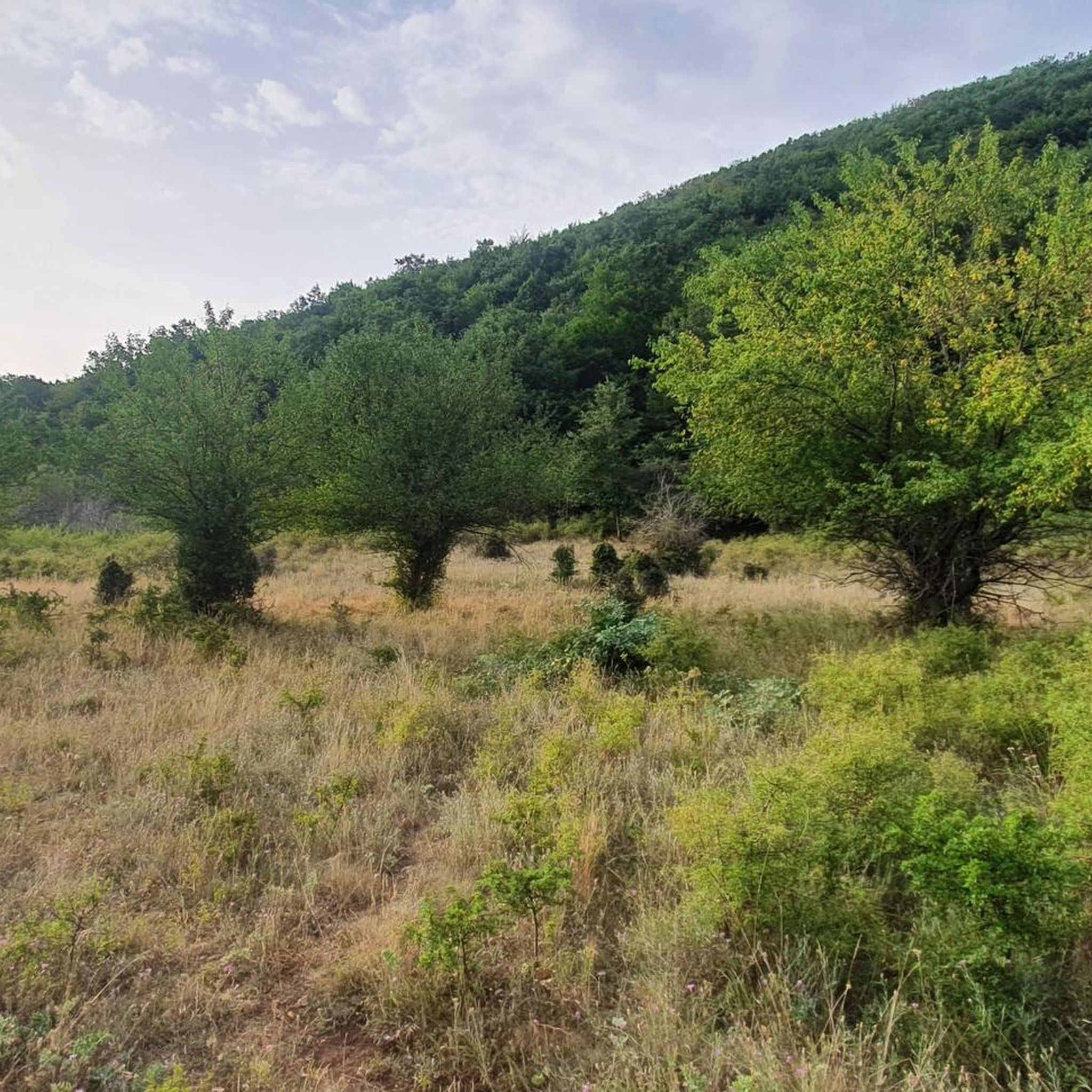
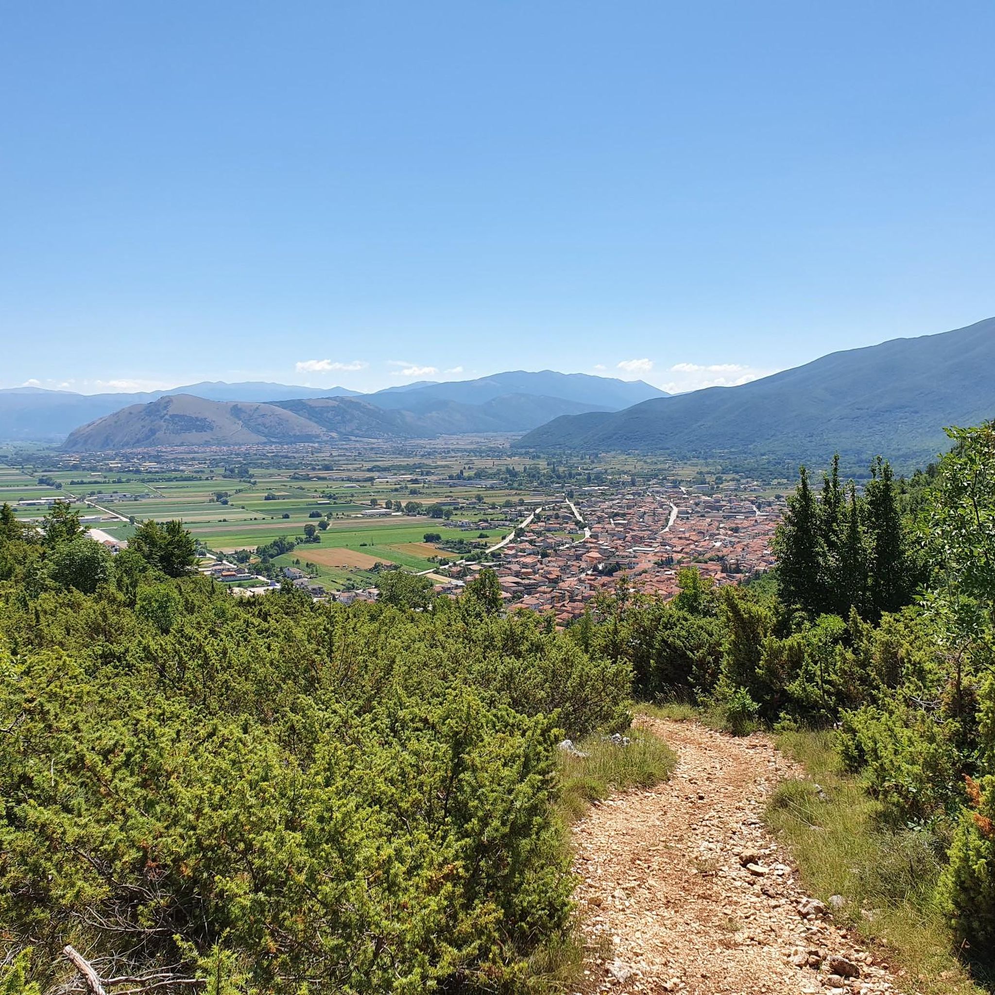
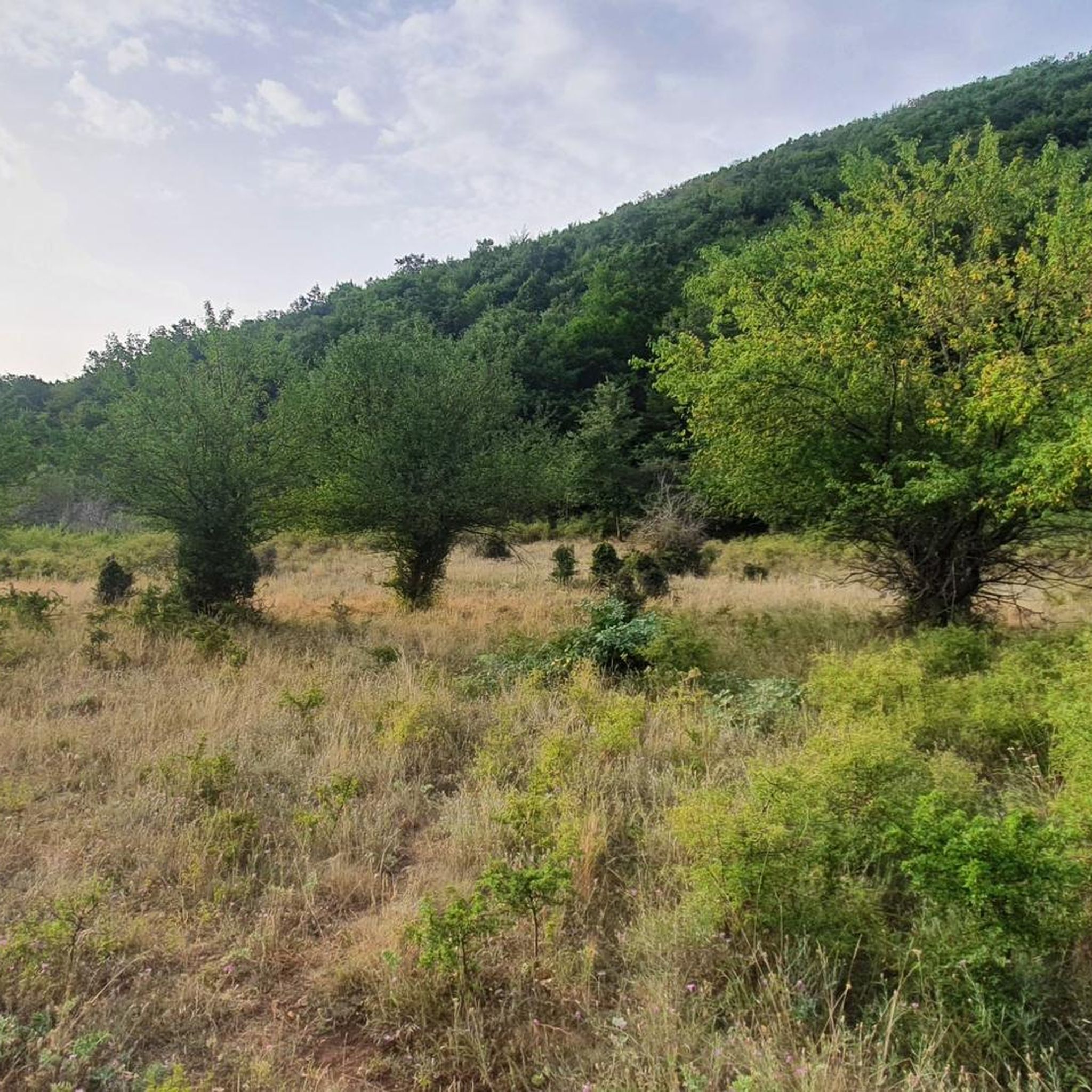
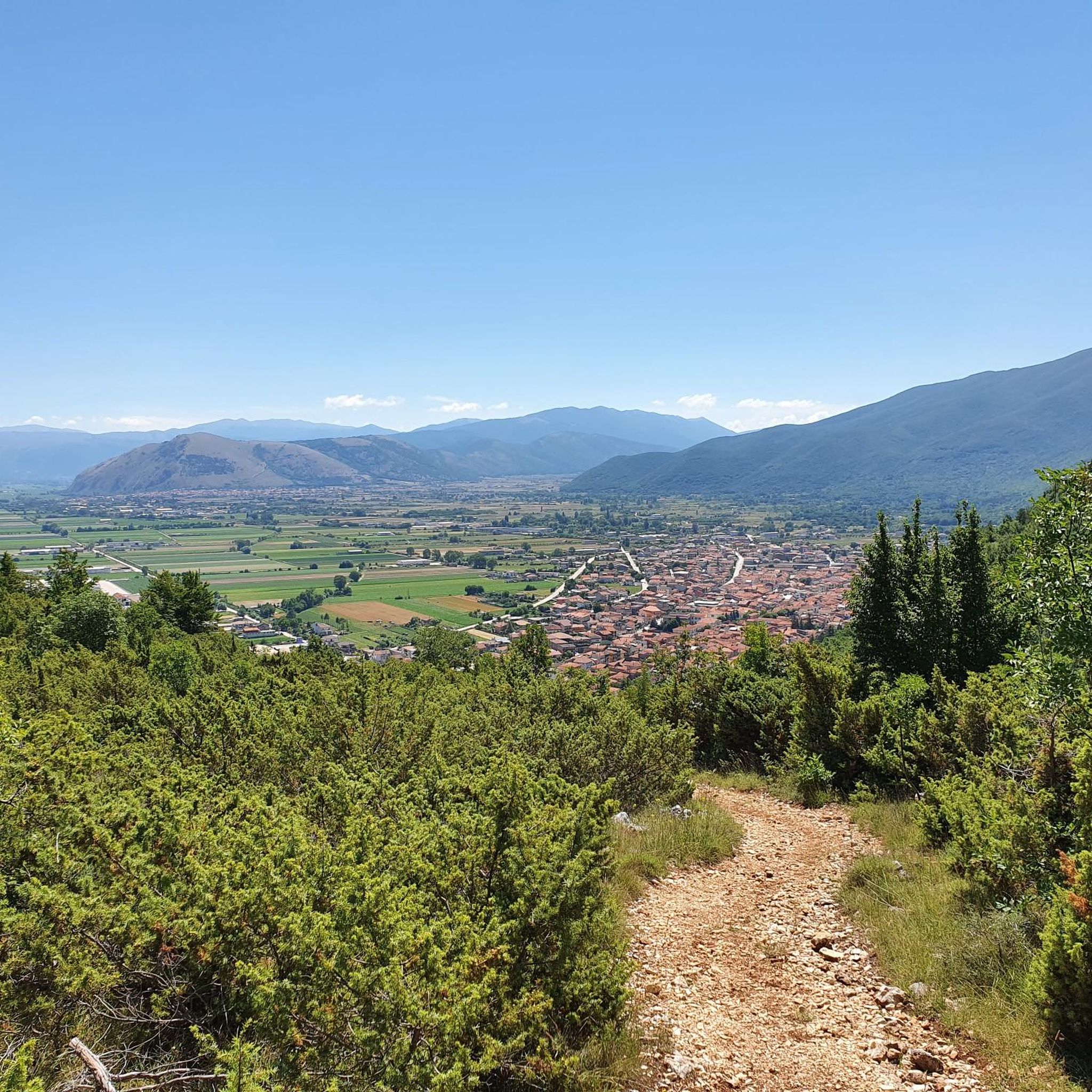
Tips from the Community

Once you reach the "peschio delle cornacchie" peaks, you can enjoy a wonderful 360° view! If you arrive at Mount Monna when there is snow, equip yourself with crampons or snowshoes, given that the path hidden by the snow remains a bit difficult!
0
0

Hiking boots, fairly long and steep route.
0
0
Requires good training. No children, but the route can be bypassed by using the path under the gendarme to still reach the summit.
0
0

This place is worth a vote as you reach the top and if the weather permits you can see both the Tyrrhenian and Adriatic seas.
1
0

highest peak of the Ernici mountains, beautiful panorama over the main Abruzzo massifs and up to the Lazio islands
1
0

It is the highest peak overlooking the plain of Prato di Campoli. The ridge path that connects it to Pizzo Deta offers splendid views of the Ernici Mountains. The wallpapers under the top in the period of June are colored with splendid Gentian blooms
1
0

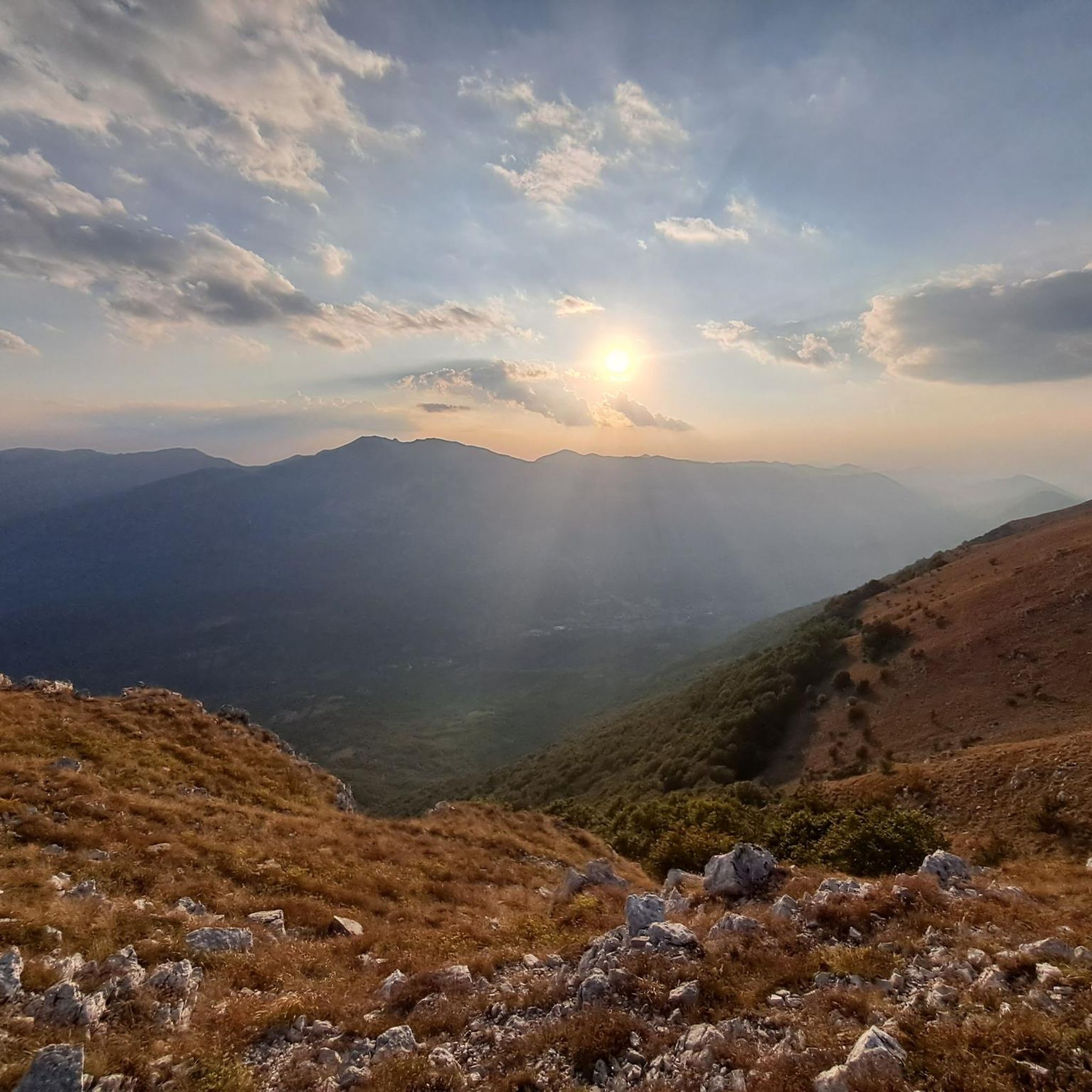
This peak is the highest of the Càntari Mountains and is located at 2156 m. From here it is possible to see the Fucino plain, the Gran Sasso (weather permitting), the Sirente-Velino chain, the Maiella, the Marsicani mountains, the Ernici mountains and the Simbruini mountains.
2
0

Frequently Asked Questions
What are some of the most popular mountain peaks to explore around Civita D'Antino?
Among the most popular peaks, you'll find Monte Viglio summit (2,156 m), the highest point of the Càntari Mountains, offering extensive panoramic views. Another highly regarded peak is Monte Crepacuore Summit, part of the Ernici Mountains, known for its surrounding reliefs. Visitors also appreciate Mount Passeggio, which provides splendid views of the Ernici Mountains and the plain of Prato di Campoli.
Are there challenging mountain hikes for experienced trekkers in the Civita D'Antino area?
Yes, the region offers several challenging routes. A loop hike to Monte Viglio summit (2,156 m) from Meta is a demanding endeavor requiring very good fitness and alpine experience. Other significant hikes include a summit loop from Rendinara encompassing Monte Passeggio and Monte Pratillo, and the Monte Ginepro – Monte Cappello route, both requiring good to very good fitness.
What kind of views can I expect from the mountain peaks around Civita D'Antino?
The peaks offer breathtaking panoramic views. From Monte Viglio summit (2,156 m), on clear days, you can see across the Fucino plain, the Gran Sasso, the Sirente-Velino chain, Maiella, the Marsicani, Ernici, and Simbruini mountains, and even the Tyrrhenian and Adriatic seas. Monte Romanella also provides expansive views of the Gran Sasso, Fucino Plain, and Maiella.
Are there any historical elements to discover while hiking the mountain peaks?
Yes, while hiking towards the summit of Monte Viglio, you can discover historical boundary markers that once separated the former Bourbon and Papal states, adding a historical dimension to your outdoor adventure.
What natural features, beyond the peaks themselves, can be found in the area?
Beyond the impressive peaks, the region is home to interesting natural features. Near Monte Vermicano, you can find the abyss of Monte Vermicano, which is one of the largest caves in Lazio. The area also boasts diverse landscapes, from the wild mountains of Morino with its natural reserve to the rugged terrain of Pizzo Deta.
Are there any easier or more accessible mountain paths suitable for all skill levels near Civita D'Antino?
Yes, while many peaks offer challenging routes, Civita D'Antino also provides diverse itineraries, including easily accessible paths suitable for all skill levels. These offer shorter hikes with less elevation gain, allowing everyone to enjoy the natural beauty of the region.
What outdoor activities can I do near these mountain peaks?
The region around Civita D'Antino is excellent for various outdoor activities. You can find numerous running trails, such as the 'Running loop from Canistro' or the 'Zompo Lo Schioppo Waterfall loop'. For mountain biking enthusiasts, there are routes like the 'Montagna Spaccata Chapel – Panoramic View loop'. Road cyclists can enjoy scenic rides like the 'Monte Salviano Pass – View of Scurcola Marsicana loop'. You can explore more options on the dedicated guides for running, MTB, and road cycling around Civita D'Antino.
Which mountain ranges are prominent in the Civita D'Antino area?
Civita D'Antino is surrounded by several prominent mountain ranges. You'll find peaks within the Càntari Mountains, such as Monte Viglio, and the Ernici Mountains, which include peaks like Monte Crepacuore, Monte Vermicano, and Mount Passeggio. The Simbruini mountain range is also a significant feature of the landscape.
What do visitors particularly enjoy about the mountain peaks around Civita D'Antino?
Visitors frequently highlight the stunning panoramic views from the summits, especially from Monte Viglio, where on clear days, both the Tyrrhenian and Adriatic seas can be seen. The sense of accomplishment upon reaching challenging peaks and the diverse natural beauty, including unique geological features like the abyss near Monte Vermicano, are also highly appreciated.
Are there any specific tips for hiking Monte Viglio?
Hiking Monte Viglio is a challenging and fairly long, steep route. It requires very good fitness and alpine experience. It's highly recommended to wear hiking boots. The reward is immense, with views stretching across multiple mountain ranges and plains, and even the possibility of seeing both the Tyrrhenian and Adriatic seas on a clear day.
Can I find circular hiking routes among the mountain peaks?
Yes, the region offers several circular hiking routes. For example, a significant and challenging loop from Rendinara encompasses Monte Passeggio and Monte Pratillo. Another demanding circular hike from Rendinara covers Monte Ginepro and Monte Cappello, providing varied terrain and views.
Most popular attractions around Civita D'Antino

Get inspired with the komoot mobile app


Explore more
See even more amazing summits around Civita D'Antino with these guides:
