Attractions and Places To See around Castiglione Messer Marino - Top 20
Best attractions and places to see around Castiglione Messer Marino include a variety of natural and historical sites. The region offers opportunities for outdoor activities like hiking and cycling, with trails often situated in panoramic natural settings. Visitors can explore mountain ridges, dense forests, and historical sites that reflect the area's cultural heritage, often near the Trigno river.
Best attractions and places to see around Castiglione Messer Marino
- The most popular attractions is Monte Campo Ridge Crossing, a trail…
Last updated: October 18, 2026
Prato Gentile Hut
Highlight • Mountain Hut
Translated by Google •
Tip by

Monte Campo Ridge Crossing
Highlight • Trail
Translated by Google •
Tip by

Sign up now to discover places like this
Get recommendations on the best single tracks, peaks, & plenty of other exciting outdoor places.
Valley Loop Cross-Country Ski Trails
Highlight • Trail
Translated by Google •
Tip by
View of the Cascate del Verde
Highlight • Viewpoint
Translated by Google •
Tip by

San Nicola Staircase and Trivento Cathedral
Highlight • Historical Site
Tip by

Sign up for free to discover even more attractions around Castiglione Messer Marino.
Already have an account?
Start today with a free account
Your next adventure awaits.

Tips from the Community

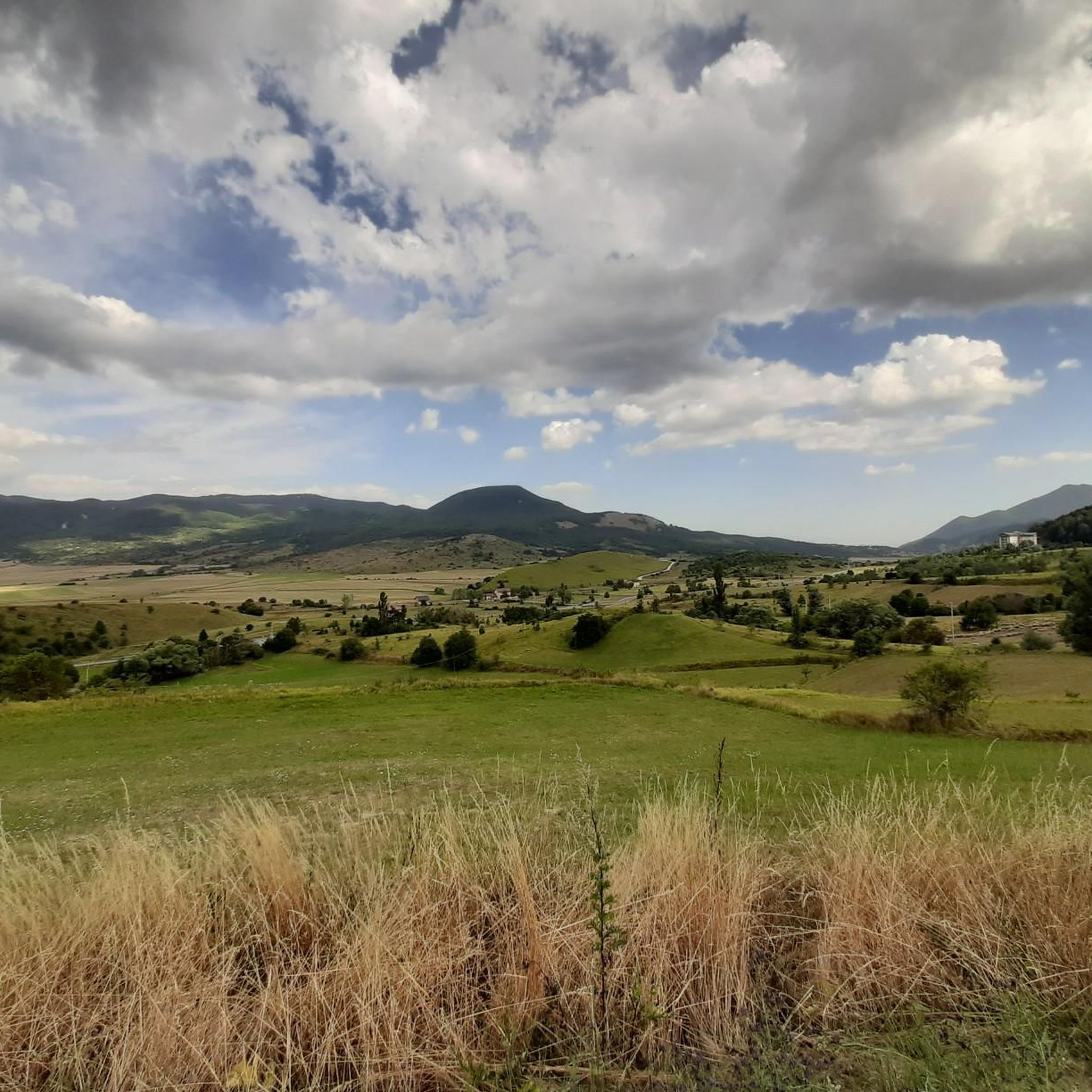
Famous for winter cross-country skiing, in summer it transforms into a green expanse ideal for resting.
0
0
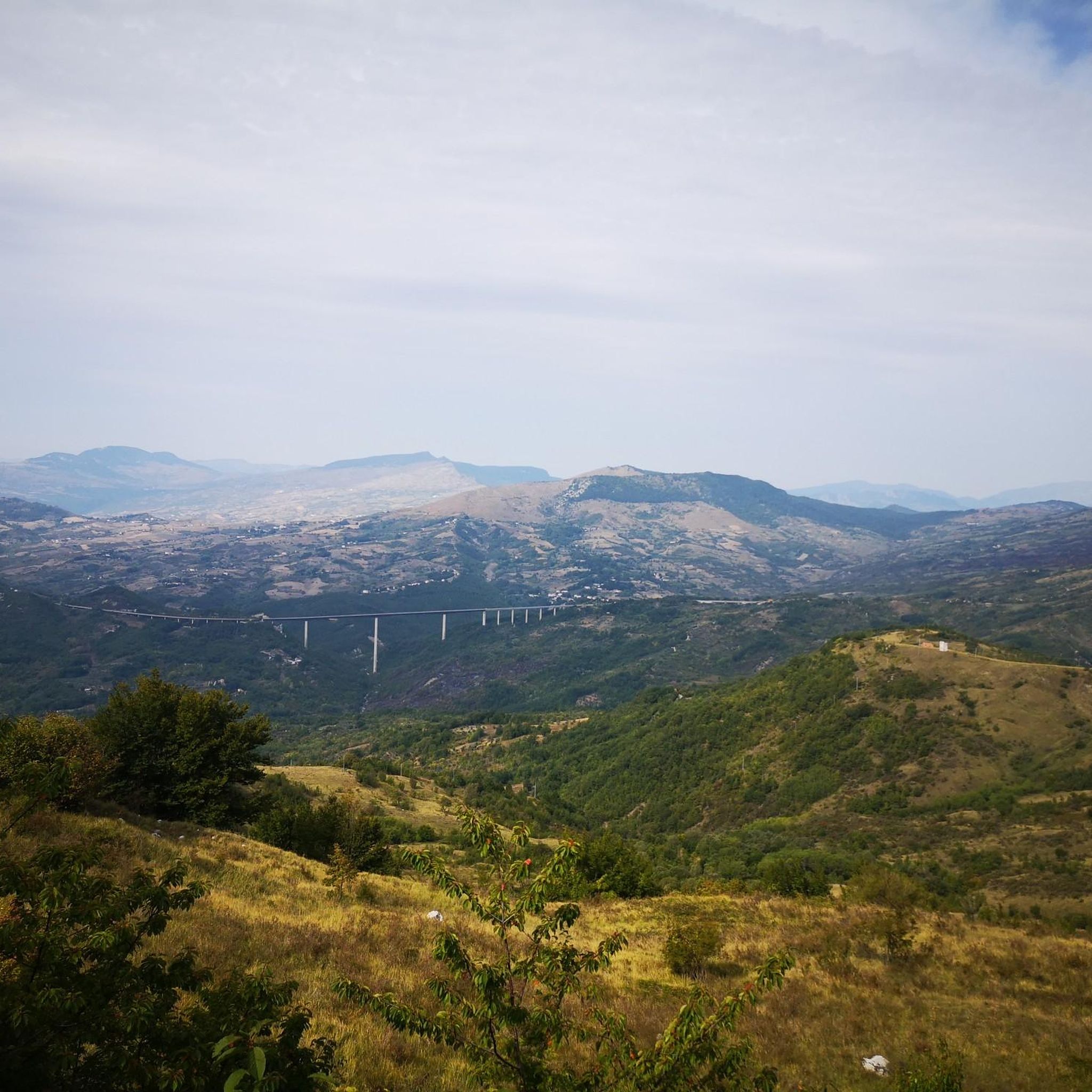
La Vista sul Mare: On clearer summer or autumn days, the ridge and summit offer a 360-degree view of the Central Apennines (Majella, Matese, Mainarde), reaching to clearly show the blue line of the Adriatic Sea in the distance.
0
0

This complex of cross-country ski trails is located at an altitude of almost 1600 meters in Piano Gentile and has a total length of about 15 kilometres. The slopes are approved by the F.I.S.I. and in summer they become hiking trails. They are almost all within a forest of beech and fir trees and are divided into three rings.
1
0
The Refuge and the Baita Prato Gentile are accommodation facilities in a panoramic area surrounded by nature, close to the cross-country ski runs and hiking trails of Prato Gentile. Various services are available with a bar and restaurant serving typical Molise cuisine, as well as having an area equipped for outdoor picnics.
1
0

The Green Falls are located within a Special Area of Conservation (SAC), with the falls originating from the Rio Verde. The organic quality is remarkable, there are crayfish and river crab, the dipper and the yellow wagtail, as well as the peregrine falcon and the red kite.
2
0
The green waterfalls are the highest perennial natural waterfalls in the Apennines. In total they fall for over 200 meters before joining the Sangro River.
2
0

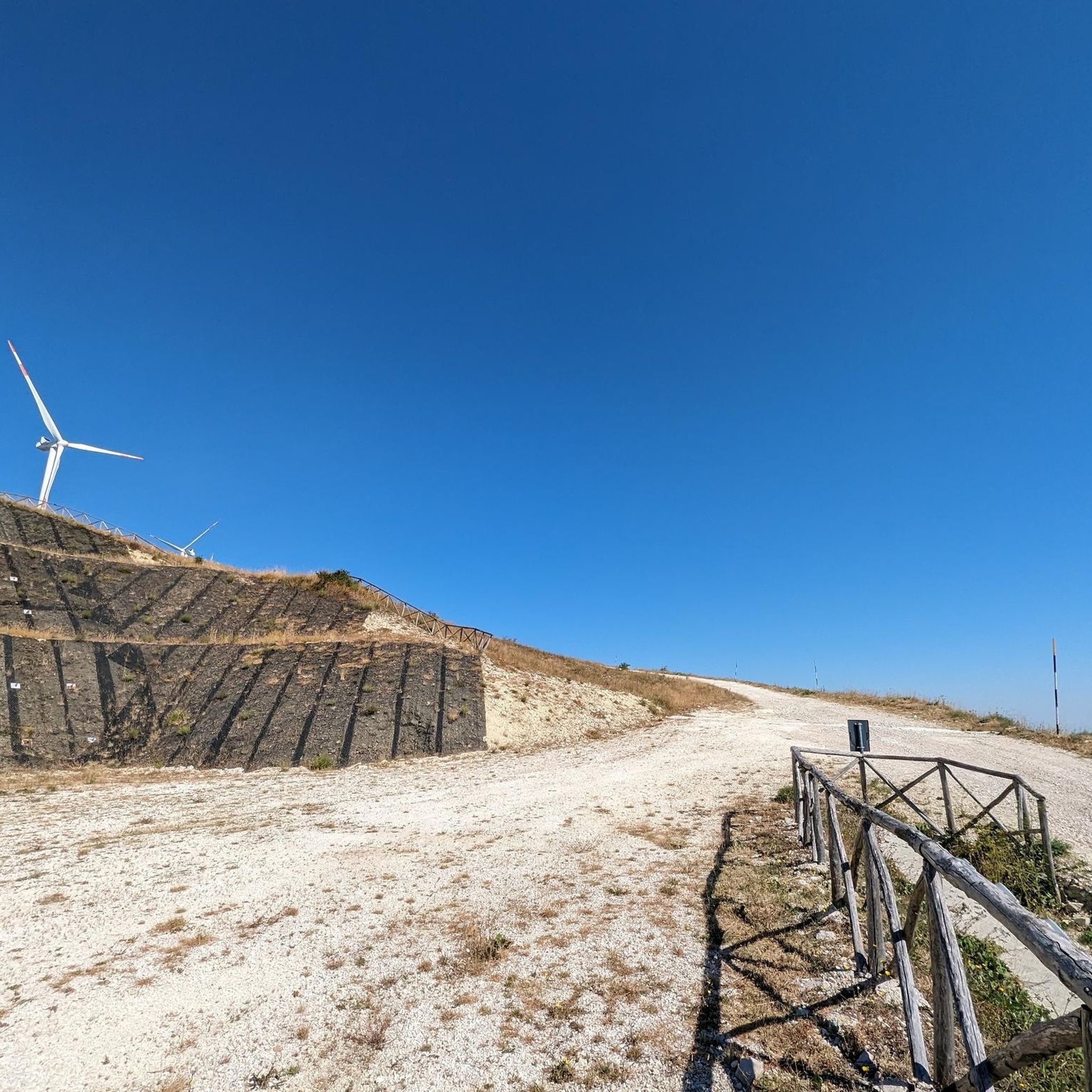
Passing on the ridge of the mountain on blocks of rock, it is easy to walk with an exceptional view up to the crossroads of Portella Czech.
3
0

Arte e storia del territorio molisano caratterizzano anche il paese di Trivento, in provincia di Campobasso, cosi chiamato perché ancora oggi è esposto ai venti dell’est, del sud e del nord. Vi si accede tramite una salita che porta in cima al colle e proietta il visitatore in un’altra dimensione, dove a trionfare è la pietra. Ovunque tutto intorno è fatto di pietra, ad incominciare dalla fontana monumentale fino alla magnifica scalinata a tre corsie, formata da quella centrale molto ampia e da due laterali più piccole. E’ la scalinata di San Nicola, dove sfilano uno dopo l’altro ben 365 gradini, che si dice siano uno per ogni giorno dell’anno. Conduce alla parte alta del borgo collegando la piazza al centro storico: ai suoi lati si ergono gli edifici più importanti del paese e da sempre è il simbolo di accoglienza di Trivento, rappresentando una delle più belle gradinate di tutto il Molise. Scalino dopo scalino si arriva davanti alla Chiesa di San Nicola, davanti alla quale si può ammirare una bella statua marmorea del Cuore Immacolato di Maria. A quota 150 scalini ci si può fermare su Largo di Porta Maggiore dove la visuale spazia sulla Trivento moderna e si perde sulla montagna circostante. A quota 175 una poderosa costruzione la costringe a diramarsi e dare luogo a Via Roma, una strada fatta di scale. Al 234esimo scalino si apre invece la grande piazza che ospita la Cattedrale, il Campanile, la chiesa della SS Trinità e la Curia. La Cattedrale è l’altro simbolo cittadino, eretta su una preesistente basilica dedicata a San Casto. Ha subito nei secoli vari restauri ma custodisce tutt’ora preziosi tesori artistici tra cui la Cripta, situata a qualche metro di profondità sotto il transetto e il presbiterio, che segna il passaggio dal Tempio pagano, dedicato a Diana, al primo Cristianesimo. Della sua fase più antica la Cattedrale conserva oltre ad un' iscrizione del 1076 con la dedica ai Santi Nazario e Casto, una serie di archetti pensili che a tratti la coronano esternamente. Sull'altare c'è una lunetta in pietra, risalente al XIII secolo, con bassorilievo raffigurante la Trinità fiancheggiata da due angeli e due delfini. Tra le tre sculture lignee spicca una Madonna in trono del Duecento. A sinistra della Cattedrale un portale con arco a ogiva introduce nel Giardino dell’Episcopio da cui si può osservare la fiancata romanica della chiesa e, nelle aiuole, frammenti di cippi funerari romane. Quando poi si arriva in cima la vista ripaga della salita, con la panoramica a 360° che spazia dai profili frastagliati dei monti ai paesini dirimpettai come Schiavi d’Abruzzo, Vastogirardi e Pietrabbondante.
0
0
Frequently Asked Questions
What are the best attractions for families around Castiglione Messer Marino?
For families, the Prato Gentile Hut is an excellent choice. It's located in a panoramic natural area and offers services like a bar and restaurant serving typical Molise cuisine, along with an outdoor picnic area.
Are there good hiking trails near Castiglione Messer Marino?
Yes, the region offers diverse hiking experiences. The Monte Campo Ridge Crossing provides exceptional views from a mountain ridge. Additionally, the Valley Loop Cross-Country Ski Trails, set within a beech and fir forest, transform into hiking trails during the summer months. For more options, explore the Hiking around Castiglione Messer Marino guide.
What historical and cultural sites can I visit in the area?
You can explore the San Nicola Staircase and Trivento Cathedral, which features 365 steps leading to the historic center and a cathedral with ancient treasures. Another significant site is the Torre della Fara, a 12th-century cylindrical tower located near the Trigno river.
When is the best time of year to visit Castiglione Messer Marino for outdoor activities?
The best time depends on your preferred activities. Summer is ideal for hiking, as the Valley Loop Cross-Country Ski Trails become hiking paths. Winter offers opportunities for cross-country skiing on these same trails. Spring and autumn provide pleasant temperatures for exploring historical sites and enjoying scenic views.
What kind of views can I expect from the attractions?
The region is known for its panoramic vistas. The Monte Campo Ridge Crossing offers exceptional views from the mountain ridge. The Prato Gentile Hut is situated in a panoramic natural area, and the top of the San Nicola Staircase in Trivento provides a 360° panoramic view of the surrounding mountains and villages.
Are there any facilities like restaurants or cafes near the attractions?
Yes, the Prato Gentile Hut offers a bar and restaurant serving typical Molise cuisine, making it a convenient stop for refreshments and meals while enjoying the natural surroundings.
What cycling routes are available around Castiglione Messer Marino?
The area provides various cycling routes. You can find options for touring bicycles and road cycling, ranging from moderate to difficult. For detailed routes, refer to the Cycling around Castiglione Messer Marino guide and the Road Cycling Routes around Castiglione Messer Marino guide.
What are some easy hiking options in the area?
While many trails are intermediate, you can find easier sections or shorter loops. For example, the 'View of the Cascate del Verde loop from Borrello' is an easy 4.9 km hike. More options are available in the Hiking around Castiglione Messer Marino guide.
Are there any attractions that are particularly good for winter activities?
Absolutely. The Valley Loop Cross-Country Ski Trails are specifically designed for cross-country skiing during winter. Located at almost 1600 meters altitude within a beautiful forest, they offer a total length of about 15 kilometers.
How long should I plan to visit the attractions around Castiglione Messer Marino?
To fully appreciate the diverse attractions, including natural landscapes and historical sites, consider dedicating at least a full day or a weekend. A visit to the San Nicola Staircase and Trivento Cathedral alone can take a few hours, while hiking trails like the Monte Campo Ridge Crossing require several hours.
What natural features are prominent in the Castiglione Messer Marino region?
The region is characterized by mountain ridges, dense forests, and the presence of the Trigno river. You'll find attractions like the Monte Campo Ridge Crossing offering mountain views and the Valley Loop Cross-Country Ski Trails winding through beech and fir trees.
Most popular routes around Castiglione Messer Marino

Get inspired with the komoot mobile app


Explore more
Still not found the Highlight you’re looking for? See guides of the top attractions in other regions:
