The best walks and hikes around Pescopennataro
4.3
(91)
534
hikers
36
hikes
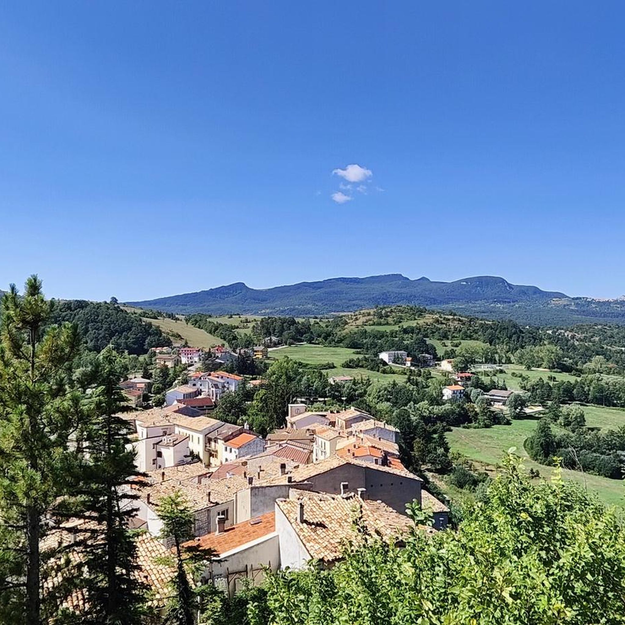
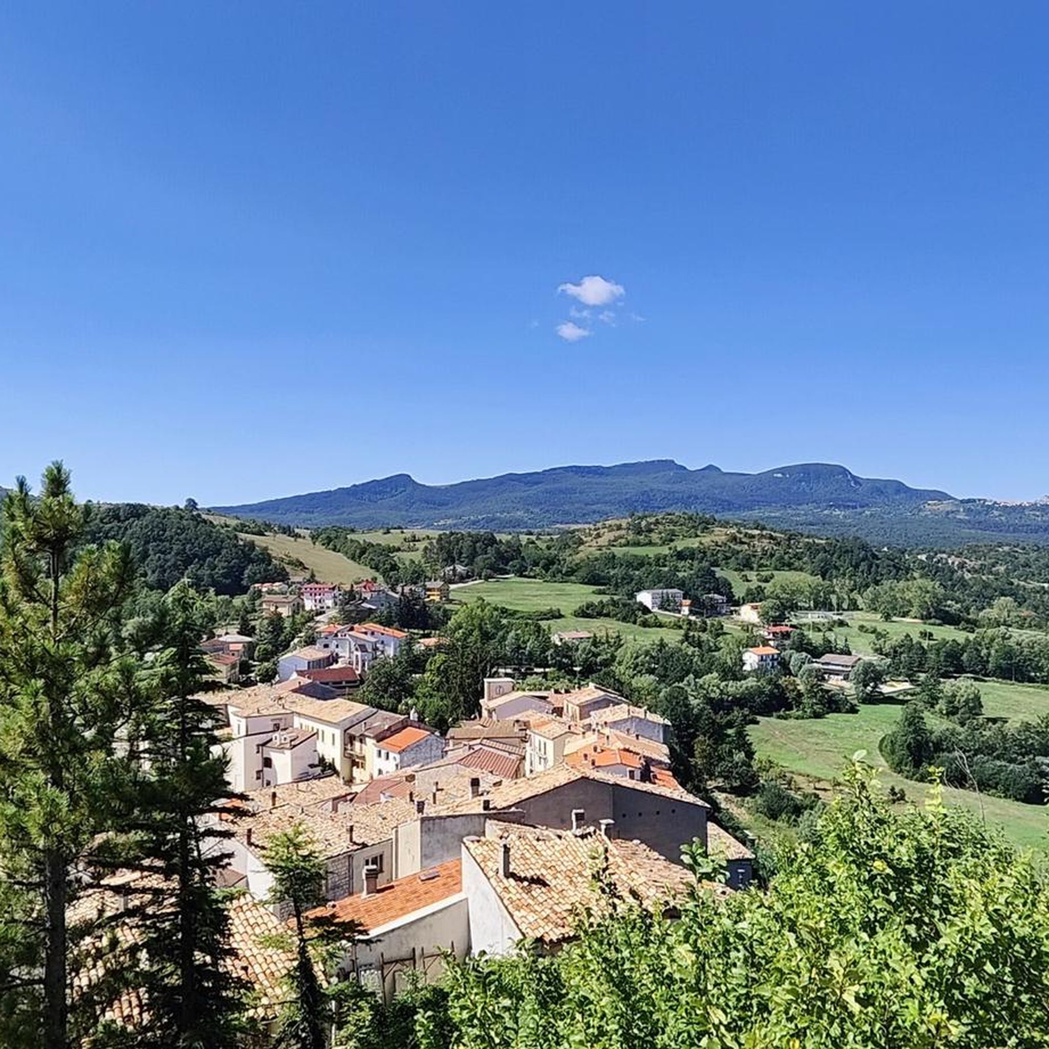
Hiking around Pescopennataro offers access to mountainous terrain characterized by dense forests and varied elevations. The region features a network of trails that traverse valleys and hills, providing diverse natural environments for outdoor activities. These routes often lead through wooded areas and open landscapes, showcasing the local geology and flora.
Best hiking trails around Pescopennataro
- The most popular hiking route is View of the Cascate del Verde loop from Borrello, a 3.1 miles (4.9 km) trail that takes 1…
Last updated: June 25, 2026
3.9
(9)
63
hikers
4.94km
01:29
150m
150m
Easy hike. Great for any fitness level. Easily-accessible paths. Suitable for all skill levels.
4.5
(2)
24
hikers
Hard hike. Great for any fitness level. Sure-footedness, sturdy shoes and alpine experience required.

Sign up for free
4.3
(3)
39
hikers
4.22km
01:25
220m
220m
Hard hike. Great for any fitness level. Sure-footedness, sturdy shoes and alpine experience required.
4.3
(3)
13
hikers
9.05km
02:51
340m
340m
Moderate hike. Good fitness required. Easily-accessible paths. Suitable for all skill levels.
4.8
(4)
24
hikers
8.04km
02:33
330m
330m
Hard hike. Good fitness required. Sure-footedness, sturdy shoes and alpine experience required.
Get access to more routes and recommendations from other explorers.
Sign up for free
Already have an account?
Our route recommendations are based on thousands of hikes, rides, and runs completed by other people on komoot.
Start today with a free account
Your next adventure awaits.
Login or Signup


Tips from the Community

La Vista sul Mare: On clearer summer or autumn days, the ridge and summit offer a 360-degree view of the Central Apennines (Majella, Matese, Mainarde), reaching to clearly show the blue line of the Adriatic Sea in the distance.
0
0

The excursion was done on June 16, 2024 and there was a total lack of water!
1
0

Along the path that connects Portella Ceca and Piano Gentile there is this natural water fountain that allows you to take a break to quench your thirst. Be careful because there is not always running water, but it depends on the season and the period.
1
0
Between the summit of Monte Campo at 1746 meters and the Portella Ceca at 1670 meters, the path follows the ridge of the mountain, it is exposed at times and often proceeds on blocks of stone. Pay attention.
1
0

The Green Falls are located within a Special Area of Conservation (SAC), with the falls originating from the Rio Verde. The organic quality is remarkable, there are crayfish and river crab, the dipper and the yellow wagtail, as well as the peregrine falcon and the red kite.
2
0
The green waterfalls are the highest perennial natural waterfalls in the Apennines. In total they fall for over 200 meters before joining the Sangro River.
2
0

Spectacular place after the effort towards the climb of Monte Campo you can enjoy a beautiful view from here you can even see the Adriatic Sea.
1
0
Frequently Asked Questions
How many hiking trails are available around Pescopennataro?
There are over 20 hiking trails around Pescopennataro, offering a variety of options for different skill levels. This includes 6 easy routes, 10 moderate trails, and 7 difficult paths for more experienced hikers.
Are there any easy or beginner-friendly hikes in Pescopennataro?
Yes, Pescopennataro offers several easy hikes suitable for beginners. An excellent option is the View of the Cascate del Verde loop from Borrello, which is 3.1 miles (4.9 km) long and takes about 1 hour 29 minutes to complete, offering scenic views.
What kind of terrain can I expect on hikes around Pescopennataro?
Hiking around Pescopennataro is characterized by mountainous terrain, dense woodlands, and open valleys. Trails often traverse varied elevations, leading through forests and open landscapes that showcase the local geology and flora.
Are there any circular walks available in the Pescopennataro area?
Yes, many routes around Pescopennataro are circular, allowing you to start and end at the same point. For example, the Forest House loop from Rosello is a moderate 5.6-mile (9 km) circular trail.
What are some interesting natural attractions or landmarks to see while hiking?
The region boasts several natural attractions. You can find the impressive View of the Cascate del Verde, a significant waterfall, or explore the unique View of the Pescopennataro Crags. The Verrino Waterfall is another notable natural monument.
What do other hikers enjoy most about the trails in Pescopennataro?
The trails in Pescopennataro are highly rated by the komoot community, with an average score of 4.4 stars from over 70 reviews. Hikers often praise the varied terrain, from dense woodlands to open valleys, and the opportunities to experience the region's natural beauty.
Are there any historical sites or cultural points of interest near the hiking routes?
Yes, you can discover historical elements such as the Italic Temple of Vastogirardi, which offers a glimpse into the ancient history of the area. The settlement of Capracotta also provides cultural context and amenities.
What is the typical duration of hikes around Pescopennataro?
Hike durations vary significantly. Shorter, easier routes like the Summit Cross loop from Capracotta can be completed in about 1 hour 5 minutes (1.9 miles / 3.1 km). More challenging or longer trails, such as the Monte Campo Ridge Crossing – Carovilli Spring loop from Capracotta (4.7 miles / 7.6 km), can take several hours.
Is public transport available to reach hiking trailheads in Pescopennataro?
While specific public transport details for individual trailheads are not always readily available, Pescopennataro is a small town. It's advisable to check local bus schedules or consider driving, as many trailheads might be more accessible by car, especially those leading into more remote mountainous areas.
Are there parking facilities near the hiking trails?
Parking availability varies by trailhead. For routes starting from villages or specific points like 'Nolo Sci Carnevale Capracotta' (as mentioned in the Monte Campo Ridge Crossing route), there are often designated parking areas. It's recommended to check the specific tour details on komoot for parking information for your chosen route.
What is the best time of year to go hiking in Pescopennataro?
The best time for hiking in Pescopennataro is generally from late spring to early autumn (May to October) when the weather is mild and trails are clear. During winter, higher elevations may experience snow, making some routes suitable for snowshoeing (ciaspolata) but requiring appropriate gear and experience.
Most popular attractions around Pescopennataro

Get inspired with the komoot mobile app


Explore more
Browse the best Hikes in other regions.
