The best running trails around Castel Del Giudice
49
runners
7
runs
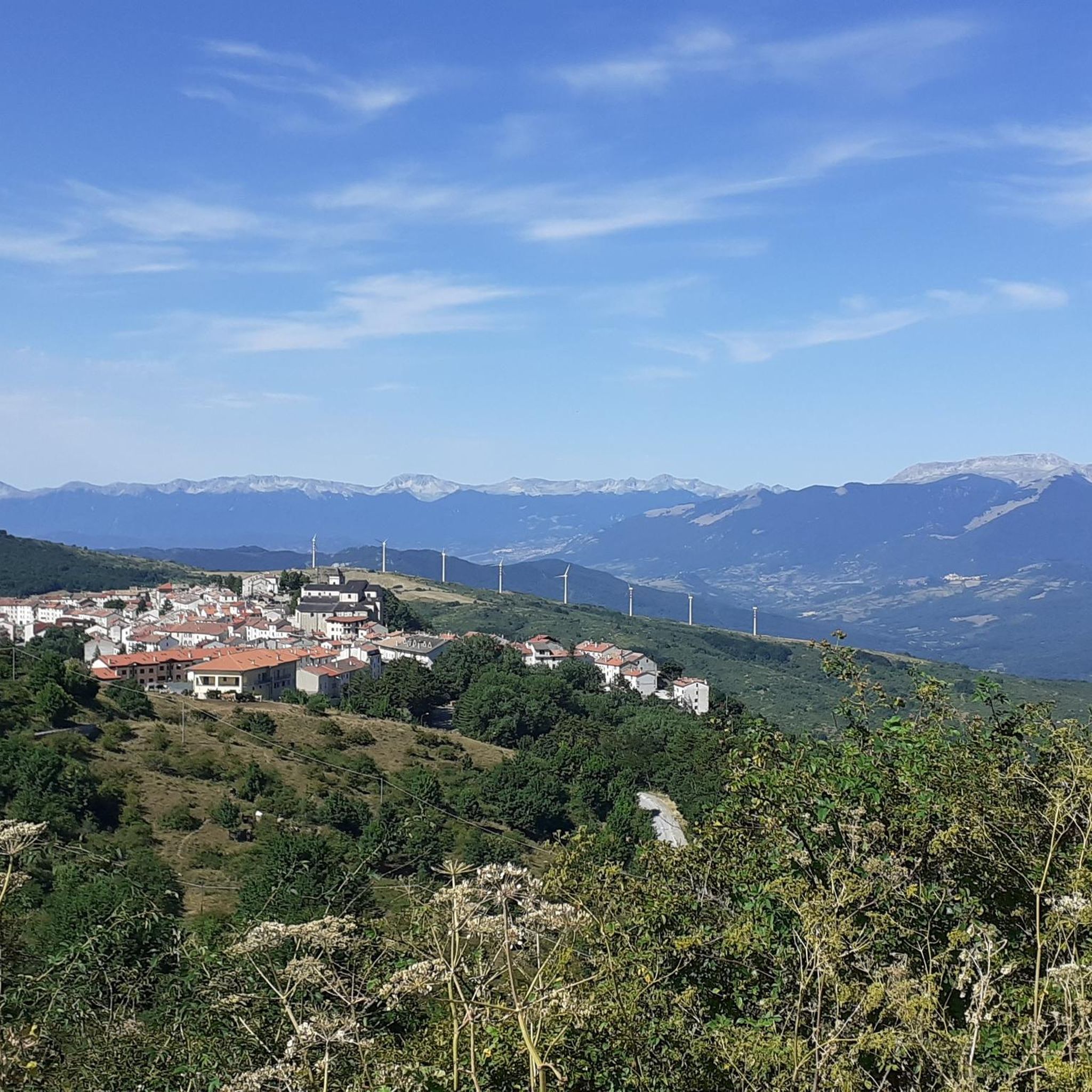
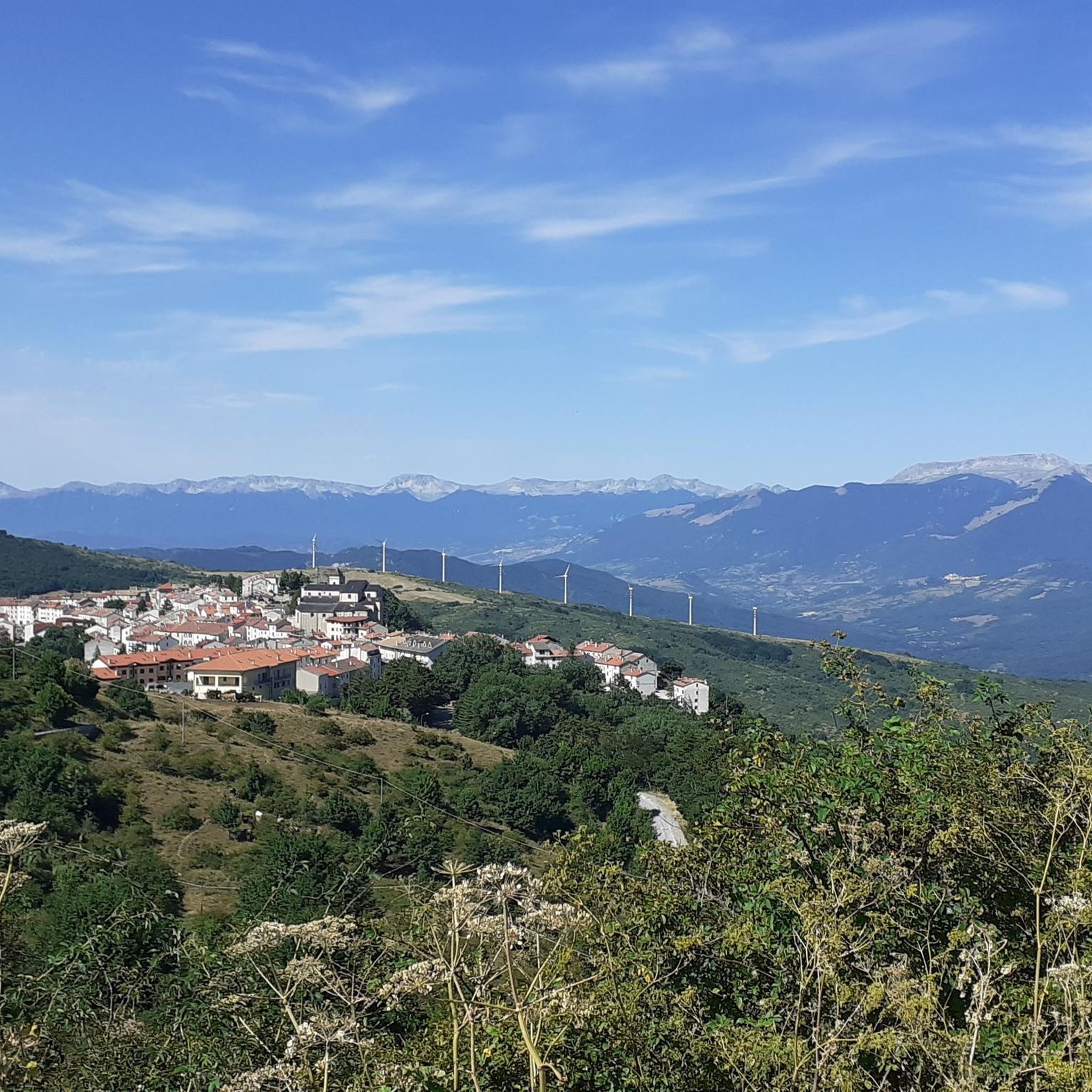
Jogging around Castel Del Giudice offers a variety of routes through its distinct landscape. The region is characterized by its mountainous terrain, featuring prominent peaks and hills, alongside natural reserves. Running routes often traverse forested areas and open landscapes, providing diverse environments for outdoor activity.
Best jogging routes around Castel Del Giudice
- The most popular jogging route is Monte Campo and Monte Ciglione Loop, a 5.8 miles (9.4 km) trail that takes 1 hour 20 minutes to complete. This…
Last updated: October 8, 2026
1
runners
9.37km
01:20
380m
380m
Jogging the Monte Campo and Monte Ciglione Loop is a difficult 5.8-mile route with 1253 feet of gain, offering panoramic views.
7.05km
00:57
210m
210m
Moderate run. Good fitness required. Mostly paved surfaces. Suitable for all skill levels.

20
runners
7.09km
00:50
190m
190m
Moderate run. Good fitness required. Mostly paved surfaces. Suitable for all skill levels.
20
runners
8.59km
00:59
220m
220m
Moderate run. Good fitness required. Mostly paved surfaces. Suitable for all skill levels.
10
runners
7.12km
00:54
180m
180m
Moderate run. Good fitness required. Mostly paved surfaces. Suitable for all skill levels.
Get access to more routes and recommendations from other explorers.
Already have an account?
Our route recommendations are based on thousands of hikes, rides, and runs completed by other people on komoot.
Start today with a free account
Your next adventure awaits.


Tips from the Community

The Deer Wildlife Area is a magical place in the Majella National Park. Despite its name, it's possible to spot deer, but it's a bit rare.
0
0

This complex of cross-country ski trails is located at an altitude of almost 1600 meters in Piano Gentile and has a total length of about 15 kilometres. The slopes are approved by the F.I.S.I. and in summer they become hiking trails. They are almost all within a forest of beech and fir trees and are divided into three rings.
1
0
The Refuge and the Baita Prato Gentile are accommodation facilities in a panoramic area surrounded by nature, close to the cross-country ski runs and hiking trails of Prato Gentile. Various services are available with a bar and restaurant serving typical Molise cuisine, as well as having an area equipped for outdoor picnics.
1
0
Along the path that connects Portella Ceca and Piano Gentile there is this natural water fountain that allows you to take a break to quench your thirst. Be careful because there is not always running water, but it depends on the season and the period.
1
0
Between the summit of Monte Campo at 1746 meters and the Portella Ceca at 1670 meters, the path follows the ridge of the mountain, it is exposed at times and often proceeds on blocks of stone. Pay attention.
1
0
The path immersed in the beech forest of the Montedimezzo Reserve arrives here at a crossroads called Pietra Quadra and located at almost 1200 meters above sea level. From here you can continue the Sentiero della Pietra Quadra (S11) or the Sentiero del Confine towards the Sentiero del Faione (S16 and S8).
1
0
The Celano-Foggia tratturo passes over the Sella Colle Mandrone, at an altitude of 1,061 metres, and descends towards San Pietro Avellana. Along the way, it runs alongside the Collemeluccio-Montedimezzo Biosphere Reserve, recognized by UNESCO in 1977. within that area there are silver firs, oaks and beech woods.
1
0
The Montedimezzo reserve is a nature reserve in the municipality of Vastogirardi and is part of the Unesco biosphere reserve of Collemeluccio-Montedimezzo. It houses a forest of centuries-old beech trees and is an ideal place for hiking, picnics and visiting the naturalistic museum and wildlife area.
1
0
Frequently Asked Questions
How many running routes are available around Castel Del Giudice?
There are 5 curated running routes available around Castel Del Giudice on komoot, offering diverse experiences through the region's mountainous terrain and natural reserves.
Are there any easy or moderate running trails for beginners in Castel Del Giudice?
While most routes in the area are considered difficult due to significant elevation changes, there is one moderate option: the In the Montedimezzo Nature Reserve – loop run. This 4.4-mile (7.0 km) path explores a protected natural environment and is less strenuous than other trails.
What kind of terrain can I expect on the jogging routes near Castel Del Giudice?
The running routes around Castel Del Giudice are characterized by mountainous paths, natural reserves, and forested sections. You can expect significant elevation gains and varied landscapes, providing a challenging yet rewarding experience.
Are there any circular running routes in the area?
Yes, all the featured running routes around Castel Del Giudice are circular. This includes popular options like the Monte Campo and Monte Ciglione Loop and the Running loop from Pizzoferrato, allowing you to start and finish at the same point.
What are some challenging running routes for experienced runners?
For experienced runners seeking a challenge, routes like the Monte Campo and Monte Ciglione Loop (5.8 miles / 9.4 km with 382m elevation gain), the Running loop from Pizzoferrato (7.2 miles / 11.6 km with 300m elevation gain), and the Pietra Cernaia loop from Pietransieri (7.5 miles / 12.2 km with 380m elevation gain) offer demanding terrain and significant climbs.
What natural attractions can I see while running in Castel Del Giudice?
The region boasts several natural attractions. You can explore the Montedimezzo Nature Reserve, which is featured in one of the running loops. Other notable natural highlights include various viewpoints like View from Monte Campo and View of the Pescopennataro Crags, offering stunning vistas of the surrounding landscape.
Are there any specific viewpoints or scenic spots along the running trails?
Yes, the mountainous nature of the region provides numerous scenic viewpoints. Highlights such as View from Monte Campo, Madonna delle Grazie Hill, and View of the Cascate del Verde offer breathtaking panoramas that runners can enjoy.
Is parking available near the starting points of these running routes?
While specific parking details are not always listed for every route, starting points for trails in rural and mountainous areas like Castel Del Giudice often have designated parking areas or roadside spots. It's advisable to check the individual route descriptions on komoot for more precise information before your run.
What is the typical length and duration of running routes in Castel Del Giudice?
The running routes in Castel Del Giudice vary in length, generally ranging from 4.4 miles (7.0 km) to 7.8 miles (12.5 km). Depending on the distance and elevation, these routes typically take between 1 hour and 15 minutes to 1 hour and 40 minutes to complete.
Can I bring my dog on the running trails in Castel Del Giudice?
Many outdoor trails in Italy are dog-friendly, but it's always recommended to keep your dog on a leash, especially in nature reserves like Montedimezzo, to protect wildlife and ensure the safety of other users. Please check local regulations or specific route details for any restrictions.
What do other runners enjoy most about jogging in Castel Del Giudice?
Runners often praise the diverse and challenging terrain, the tranquility of the natural reserves, and the stunning views from the various peaks and viewpoints. The opportunity to run through forested areas and open landscapes provides a varied and engaging experience.
Are there any other running routes nearby that are not mentioned in the main guide?
Beyond the top routes highlighted, komoot offers additional running options in the broader region. For example, the Running loop from Gamberale is another challenging route covering 7.8 miles (12.5 km) with significant elevation, providing more choices for exploring the area.
Most popular routes around Castel Del Giudice
Most popular attractions around Castel Del Giudice

Get inspired with the komoot mobile app


Explore more
Browse the best Running Trails & Routes in other regions.
