The best running trails around Forlì Del Sannio
5.0
(2)
399
runners
39
runs
Jogging routes around Forlì Del Sannio traverse a landscape characterized by natural reserves, rural roads, and varied elevation. The region features a mix of forested areas and open terrain, offering diverse running experiences. Runners can expect routes that wind through natural parks and connect small towns, often including scenic dirt roads. The topography includes gentle inclines and more challenging ascents, providing options for different fitness levels.
Best jogging routes around Forlì Del Sannio
- The most popular jogging route is In…
Last updated: July 5, 2026
7.05km
00:57
210m
210m
Moderate run. Good fitness required. Mostly paved surfaces. Suitable for all skill levels.
23
runners
13.0km
01:21
60m
60m
Moderate run. Good fitness required. Mostly paved surfaces. Suitable for all skill levels.

Sign up for free
4.8
(5)
36
runners
5.25km
00:32
20m
20m
Moderate run. Good fitness required. Mostly paved surfaces. Suitable for all skill levels.
7
runners
13.4km
01:50
430m
440m
Hard run. Very good fitness required. Mostly paved surfaces. Suitable for all skill levels.
7
runners
23.6km
03:13
930m
930m
Hard run. Very good fitness required. Mostly paved surfaces. Suitable for all skill levels.
Get access to more routes and recommendations from other explorers.
Sign up for free
Already have an account?
Our route recommendations are based on thousands of hikes, rides, and runs completed by other people on komoot.
Start today with a free account
Your next adventure awaits.
Login or Signup

Tips from the Community

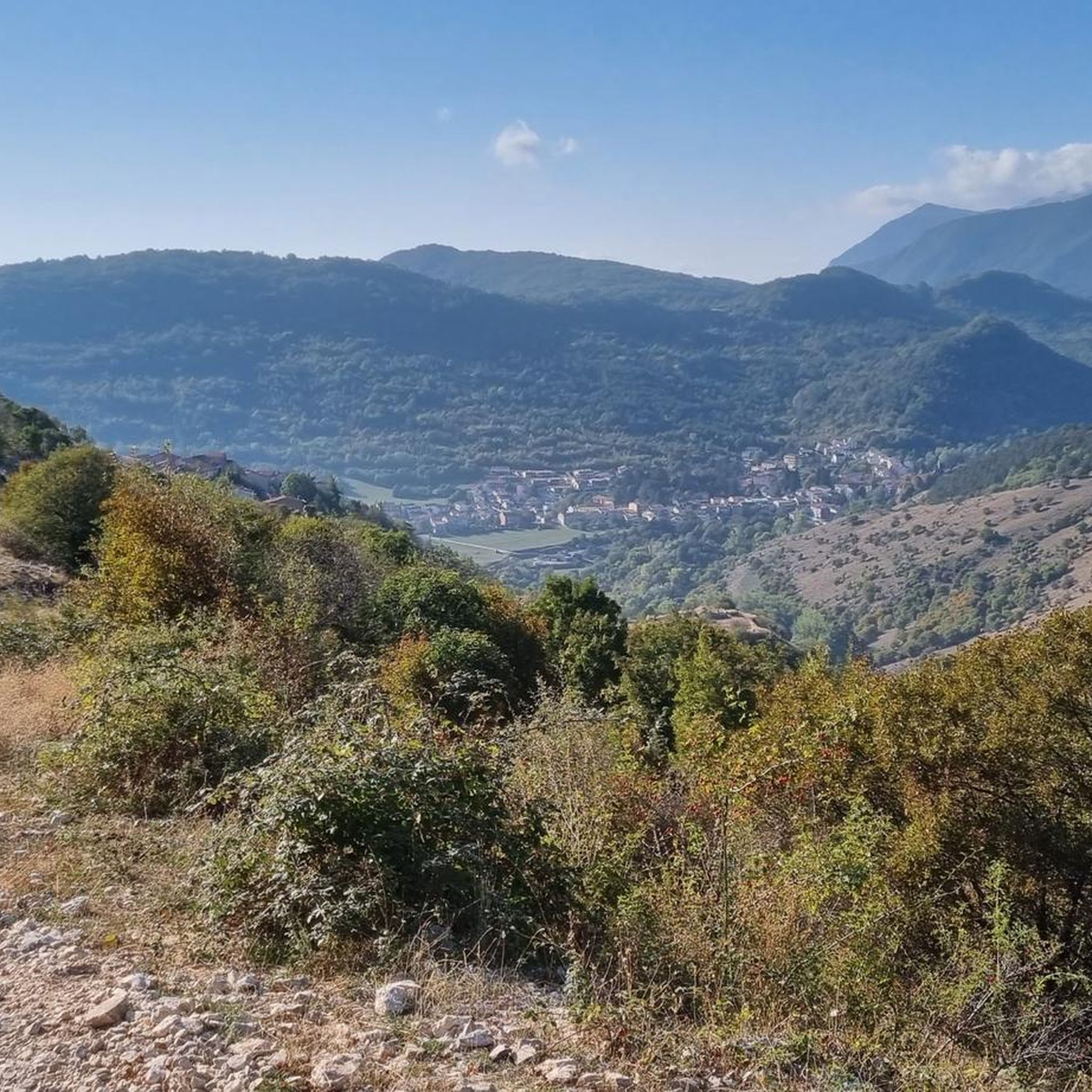
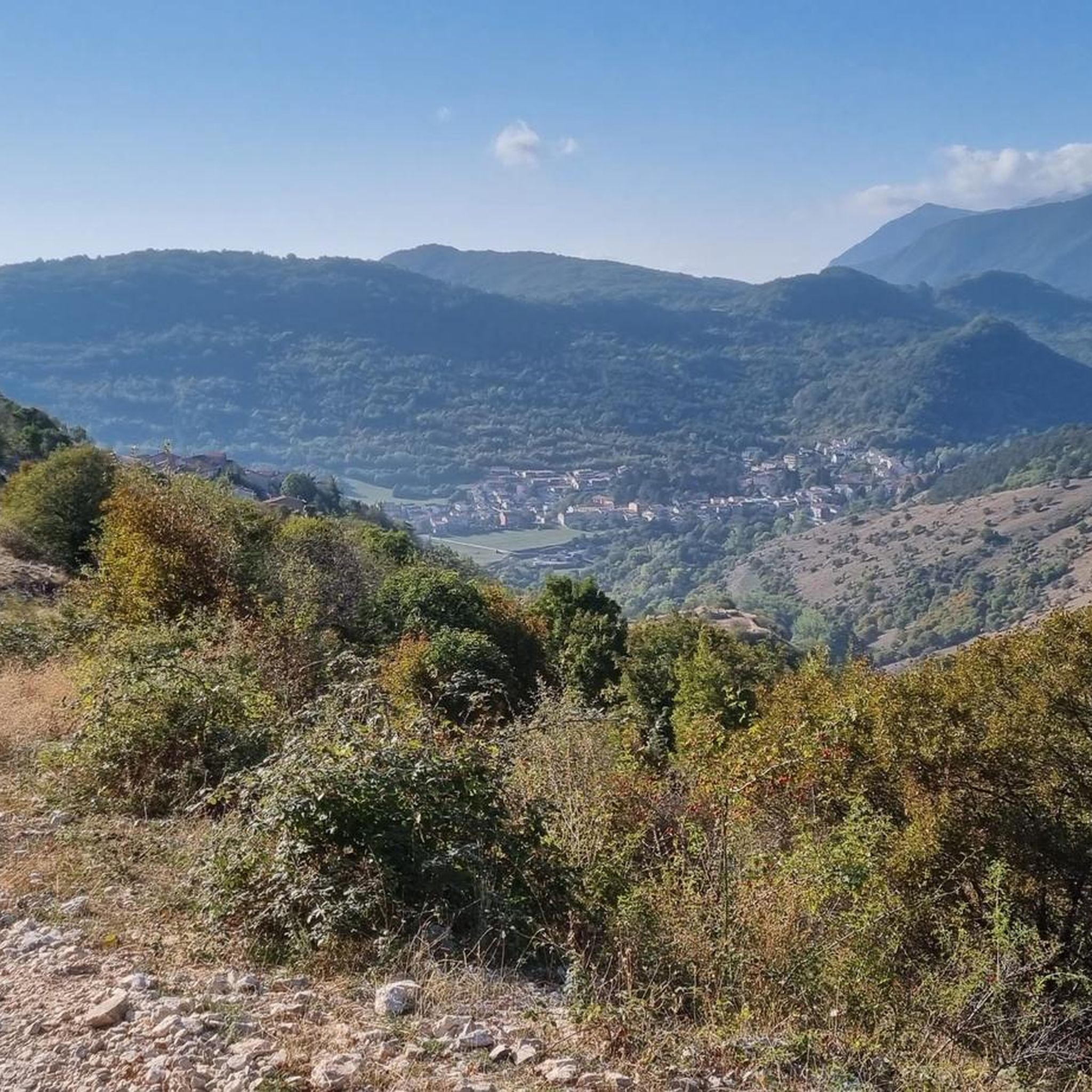
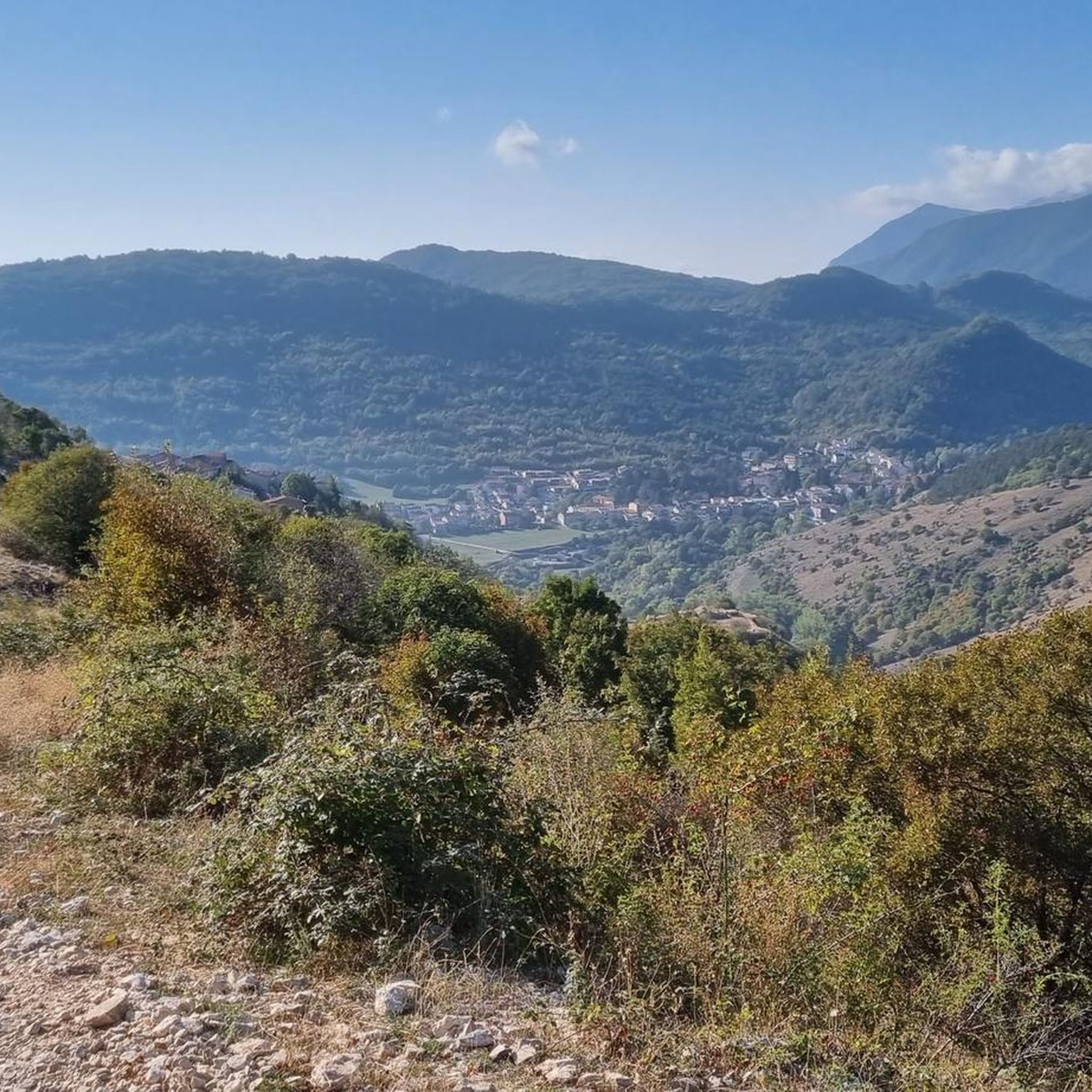
panoramic dirt road from Miranda towards Pesche
0
0

It was a flourishing Samnite city, capital of the Italic League and then Roman Municipality.
0
0

It is located above the locality of Pesche and it is an eighteenth-century source of water at an altitude of 925m. We are in a protected nature reserve. Nearby stands the refuge of the same name
0
0

The path immersed in the beech forest of the Montedimezzo Reserve arrives here at a crossroads called Pietra Quadra and located at almost 1200 meters above sea level. From here you can continue the Sentiero della Pietra Quadra (S11) or the Sentiero del Confine towards the Sentiero del Faione (S16 and S8).
1
0
The Celano-Foggia tratturo passes over the Sella Colle Mandrone, at an altitude of 1,061 metres, and descends towards San Pietro Avellana. Along the way, it runs alongside the Collemeluccio-Montedimezzo Biosphere Reserve, recognized by UNESCO in 1977. within that area there are silver firs, oaks and beech woods.
1
0
The Montedimezzo reserve is a nature reserve in the municipality of Vastogirardi and is part of the Unesco biosphere reserve of Collemeluccio-Montedimezzo. It houses a forest of centuries-old beech trees and is an ideal place for hiking, picnics and visiting the naturalistic museum and wildlife area.
1
0

This dirt track runs up the slopes of Monte Cimorre and is truly spectacular. The views from here are breathtaking. Along the way you also come across the Chapel of Santa Lucia.
1
0
This refuge is located about two and a half hours from Isernia and one hour from Pesche. It is inserted in a wonderful natural environment; a few steps from the shed there is an eighteenth-century source.
1
0
Frequently Asked Questions
How many running routes are available in Forlì Del Sannio?
There are over 25 running routes around Forlì Del Sannio, offering a diverse range of experiences from easy jogs to challenging long-distance runs. The komoot community has explored nearly 400 of these trails.
What kind of terrain can I expect on running trails around Forlì Del Sannio?
The running trails in Forlì Del Sannio traverse a varied landscape, including natural reserves, rural roads, and areas with significant elevation changes. You'll find a mix of forested sections and open terrain, often featuring scenic dirt roads. The topography ranges from gentle inclines to more challenging ascents.
Are there easy running routes suitable for beginners in Forlì Del Sannio?
Yes, Forlì Del Sannio offers some easier running options. While most routes are moderate to difficult, there is at least one designated easy trail. For a relatively flat and steady run, consider the Running loop from Isernia, which is a moderate 4.6 miles (7.5 km) path.
Are there any long-distance or advanced running trails in the area?
Absolutely. For experienced runners seeking a challenge, Forlì Del Sannio features several difficult routes. The Rifugio Fonte Maiuri loop from Stadio Mario Lancellotta is a demanding 14.7 miles (23.7 km) trail with significant elevation gain, perfect for advanced training. Another challenging option is the Scenic dirt road – Fonte Maiuri Hut loop from Miranda, spanning 10.8 miles (17.4 km).
What can I see along the running routes in Forlì Del Sannio?
Many running routes offer scenic views and pass by interesting natural and historical sites. You might encounter the serene Montedimezzo Nature Reserve, the tranquil Lake Castel San Vincenzo, or the historic Abbey Complex of San Vincenzo al Volturno. The Fonte Maiuri Hut is also a notable landmark on some trails.
Are there any circular running routes available?
Yes, many of the running trails in Forlì Del Sannio are designed as loops, allowing you to start and finish at the same point. A popular example is In the Montedimezzo Nature Reserve – loop run, a moderate 4.4 miles (7.0 km) trail. Another option is the Running loop from Miranda, which is a 6.1 miles (9.8 km) trail through hilly terrain.
What do other runners say about the trails in Forlì Del Sannio?
The running routes in Forlì Del Sannio are highly regarded by the komoot community, boasting an average rating of 4.8 stars. Runners often praise the varied terrain, the natural beauty of the reserves, and the opportunities for both gentle jogs and challenging ascents.
Is Forlì Del Sannio suitable for family-friendly running or jogging with children?
While the guide primarily focuses on general running routes, the presence of natural reserves and varied terrain suggests that some shorter, less strenuous sections could be suitable for families. Look for routes with minimal elevation gain and well-maintained paths, such as the easier parts of the Montedimezzo Nature Reserve loop, which offers a pleasant environment.
Are the running trails in Forlì Del Sannio dog-friendly?
Generally, natural areas and rural roads in Italy are welcoming to dogs, especially if kept on a leash. Given that many routes pass through natural reserves and open terrain, it's likely that most trails are dog-friendly. Always ensure your dog is under control and respect local regulations, particularly in protected areas like the Montedimezzo Nature Reserve.
Are there any running routes with access to public transport or parking?
While specific parking details for each route are not provided, many trails originate near towns or accessible points, implying parking availability. For public transport, routes starting from larger towns like Isernia, such as the Running loop from Isernia, are more likely to be reachable by local bus services. It's advisable to check local transport schedules for specific connections to trailheads.
What is the best time of year for running in Forlì Del Sannio?
The region's varied landscape, with both forested areas and open terrain, makes it suitable for running across multiple seasons. Spring and autumn offer pleasant temperatures and vibrant scenery. Summer can be warm, so early morning or late evening runs are recommended. Winter running is possible, especially on lower elevation trails, but be prepared for cooler temperatures and potentially icy conditions at higher altitudes.
Are there any running routes that pass by cafes or refreshment points?
While the guide doesn't explicitly list cafes on routes, some trails connect small towns or pass by facilities like the Fonte Maiuri Hut, which might offer refreshments. For routes starting or ending in towns like Isernia or Miranda, you'll find cafes and shops nearby. It's always a good idea to carry your own water and snacks, especially on longer or more remote trails.
Most popular attractions around Forlì Del Sannio

Get inspired with the komoot mobile app


Explore more
Browse the best Running Trails & Routes in other regions.
