The best walks and hikes around Macchia D'Isernia
4.3
(4)
36
hikers
13
hikes
Hiking around Macchia D'Isernia offers diverse landscapes characterized by rolling hills, nature reserves, and the presence of lakes. The region features varied terrain, from gentle paths near water bodies to more challenging ascents through wooded areas like the "Selva." Hikers can explore routes that traverse both natural environments and areas close to local towns, with views of the Matese and Mainarde mountains in the distance. The elevation changes provide a range of experiences, from relatively flat loops to trails with…
Last updated: July 5, 2026
1
hikers
23.4km
07:03
730m
730m
Hard hike. Very good fitness required. Easily-accessible paths. Suitable for all skill levels.
4.3
(4)
6
hikers
6.69km
02:04
240m
240m
Moderate hike. Good fitness required. Easily-accessible paths. Suitable for all skill levels.

Sign up for free
4
hikers
13.0km
04:02
480m
480m
Moderate hike. Good fitness required. Easily-accessible paths. Suitable for all skill levels.
4.0
(1)
3
hikers
Hard hike. Very good fitness required. Easily-accessible paths. Suitable for all skill levels.
4.0
(1)
3
hikers
14.4km
04:30
540m
540m
Moderate hike. Good fitness required. Easily-accessible paths. Suitable for all skill levels.
Get access to more routes and recommendations from other explorers.
Sign up for free
Already have an account?
Our route recommendations are based on thousands of hikes, rides, and runs completed by other people on komoot.
Start today with a free account
Your next adventure awaits.
Login or Signup
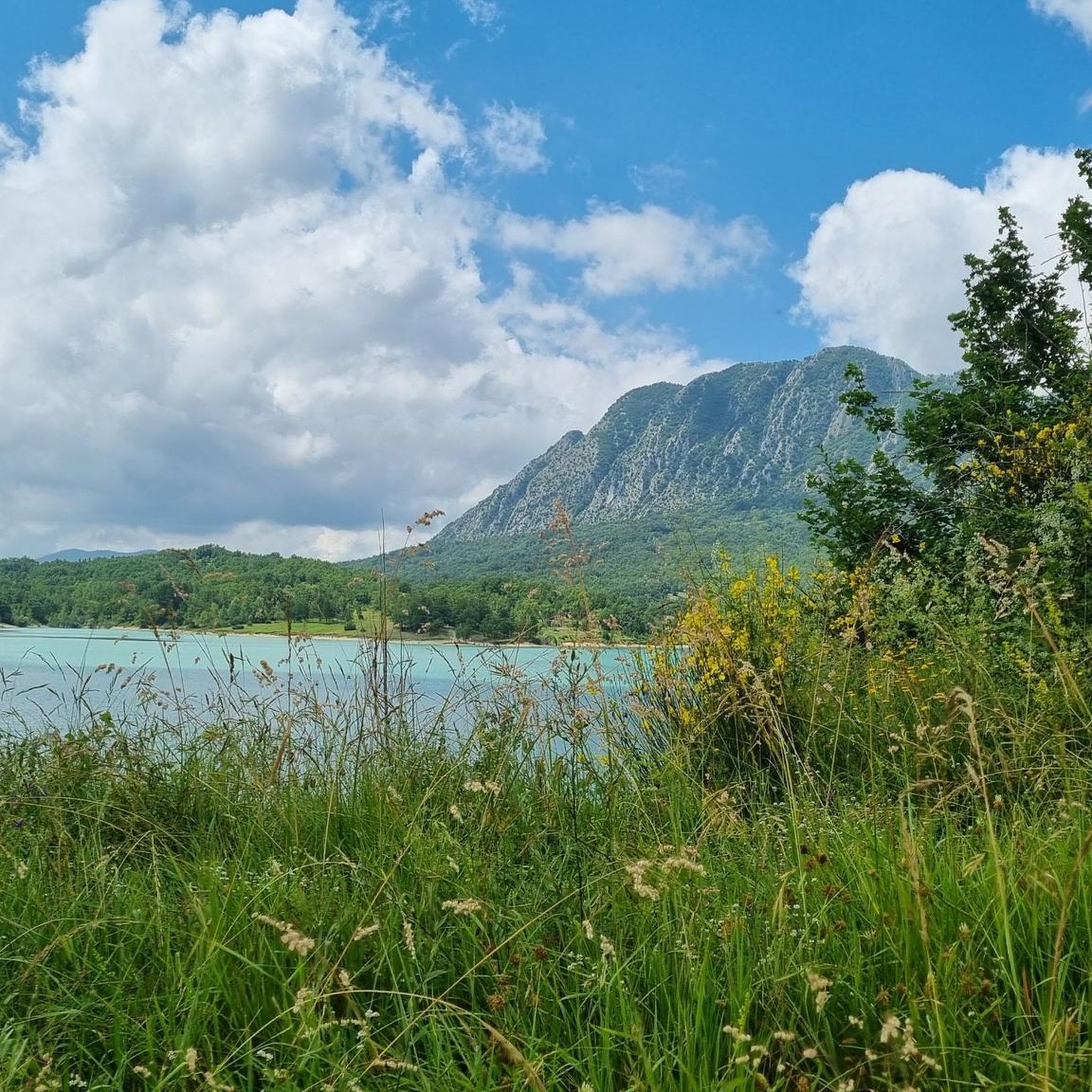
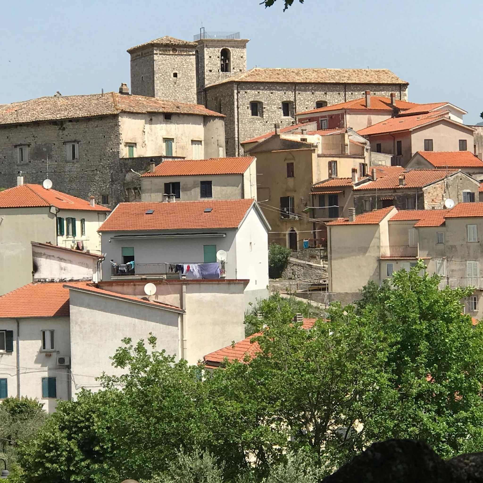
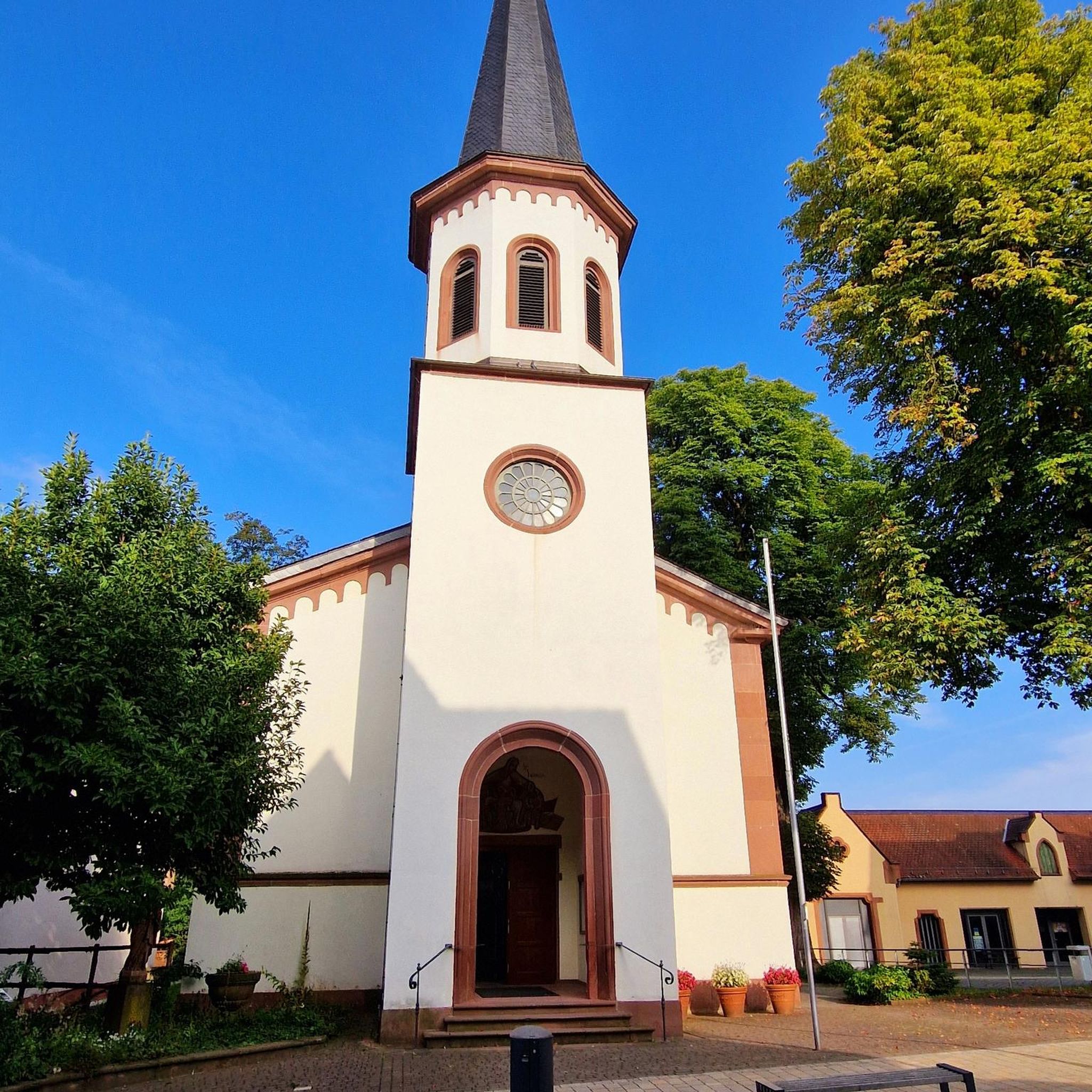
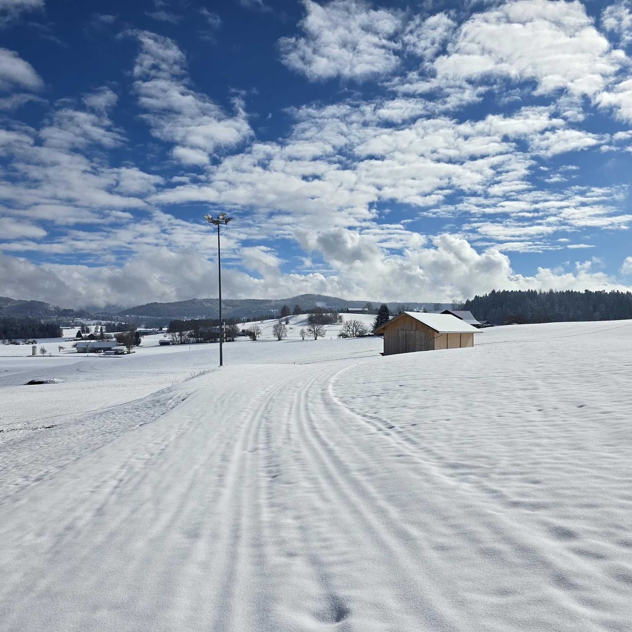
Tips from the Community

panoramic dirt road from Miranda towards Pesche
0
0


It was a flourishing Samnite city, capital of the Italic League and then Roman Municipality.
0
0

Leaving the pine forest, all traces of the path are lost. Proceed in the tall grass following the GPS track
0
0

It is located above the locality of Pesche and it is an eighteenth-century source of water at an altitude of 925m. We are in a protected nature reserve. Nearby stands the refuge of the same name
0
0

Pesche is a perched village that is nothing short of enchanting. It is located a few kilometers from Isernia. The remains of the Lombard castle are still visible. This country with stone houses offers breathtaking scenery!
3
0
This dirt track runs up the slopes of Monte Cimorre and is truly spectacular. The views from here are breathtaking. Along the way you also come across the Chapel of Santa Lucia.
1
0
This refuge is located about two and a half hours from Isernia and one hour from Pesche. It is inserted in a wonderful natural environment; a few steps from the shed there is an eighteenth-century source.
1
0
Frequently Asked Questions
How many hiking trails are available around Macchia D'Isernia?
There are over 10 hiking routes documented around Macchia D'Isernia on komoot, offering a variety of experiences from easy strolls to more challenging ascents.
Are there easy hiking trails suitable for beginners in Macchia D'Isernia?
Yes, Macchia D'Isernia offers easy trails perfect for beginners. One such option is the Isernia loop from Isernia, which is a gentle 4.2-mile (6.8 km) path with minimal elevation gain, starting and ending in Isernia.
What options are available for more challenging hikes in the area?
For those seeking a challenge, the Monte Cimorre and Pesche Nature Reserve Loop is a difficult 14.6-mile (23.4 km) route featuring substantial elevation gain through a nature reserve, typically taking over 7 hours to complete.
Are there any circular walks around Macchia D'Isernia?
Yes, many trails in the region are circular. An example is the Lake Castel San Vincenzo – Mountain Attics loop from Rocchetta a Volturno, a 9.0-mile (14.5 km) trail offering varied terrain and lakeside views.
What kind of natural attractions can I see along the hiking trails?
The region is characterized by rolling hills, nature reserves, and lakes. You can explore areas near Lake Castel San Vincenzo, enjoy views from spots like View of the lake from the dam, or discover the Volturno Spring.
Are there any historical or cultural landmarks near the hiking routes?
Yes, hikers can encounter several points of interest. The Abbey Complex of San Vincenzo al Volturno and the Sanctuary of Saint Mary of Sorrows are notable religious sites. You might also come across the Fonte Maiuri Hut or the Fraternal Fountain.
What is the best season for hiking around Macchia D'Isernia?
The diverse landscapes, including wooded areas and nature reserves, make hiking enjoyable across multiple seasons. Spring and autumn offer pleasant temperatures and vibrant scenery, while summer can be ideal for higher elevations or early morning hikes. Winter hikes are also possible, especially on lower-lying paths, though conditions should be checked.
What do other hikers enjoy most about the trails in Macchia D'Isernia?
The trails around Macchia D'Isernia are highly rated by the komoot community, with an average score of 4.6 stars. Hikers often praise the varied terrain, from gentle paths near water bodies to more challenging ascents, and the mix of natural environments with proximity to local towns.
Are there any moderate difficulty trails for intermediate hikers?
Absolutely. A good option for intermediate hikers is the Hiking loop from Sant'Agapito, which covers 4.2 miles (6.7 km) with moderate elevation changes, offering a balanced experience.
Are there trails that offer scenic viewpoints?
Many routes provide scenic vistas, especially those traversing hills and lake areas. For instance, the area around Lake Castel San Vincenzo offers stunning views, including specific spots like View of Lake Castel San Vincenzo and the Mainarde mountains.
Are there any trails that feature dirt roads or forest paths?
Yes, the region offers a mix of terrain. The Scenic dirt road – Fonte Maiuri Hut loop from Miranda is a moderate 8.0-mile (12.9 km) route that includes scenic dirt roads and leads to the Fonte Maiuri Hut.
Most popular attractions around Macchia D'Isernia

Get inspired with the komoot mobile app


Explore more
Browse the best Hikes in other regions.
