The best road cycling routes around Pietracatella
4.4
(11)
68
riders
14
rides
Road cycling routes around Pietracatella traverse a landscape characterized by rolling hills and agricultural areas, with routes often connecting small villages. The region features varied elevation gains, indicating a mix of ascents and descents suitable for road cycling. Distances range from moderate to challenging, with some routes extending into neighboring areas like Campobasso and Riccia.
Best road cycling routes around Pietracatella
- The most popular road cycling route is View of Gildone – Morcone loop from Riccia, a 59.1 miles…
Last updated: July 15, 2026
4.5
(2)
9
riders
88.2km
04:35
1,590m
1,590m
Hard road ride. Very good fitness required. Mostly well-paved surfaces and easy to ride.
17
riders
Moderate road ride. Good fitness required. Mostly well-paved surfaces and easy to ride.

Sign up for free
5
riders
40.1km
02:03
680m
680m
Moderate road ride. Good fitness required. Mostly well-paved surfaces and easy to ride.
7
riders
47.1km
02:31
870m
870m
Moderate road ride. Good fitness required. Mostly well-paved surfaces and easy to ride.
4
riders
84.5km
04:20
1,480m
1,480m
Hard road ride. Very good fitness required. Mostly well-paved surfaces and easy to ride.
Get access to more routes and recommendations from other explorers.
Sign up for free
Already have an account?
Our route recommendations are based on thousands of hikes, rides, and runs completed by other people on komoot.
Start today with a free account
Your next adventure awaits.
Login or Signup
Popular around Pietracatella
Tips from the Community

Small bridge near Mirabello Sannitico where you can see the Tappino river
0
0
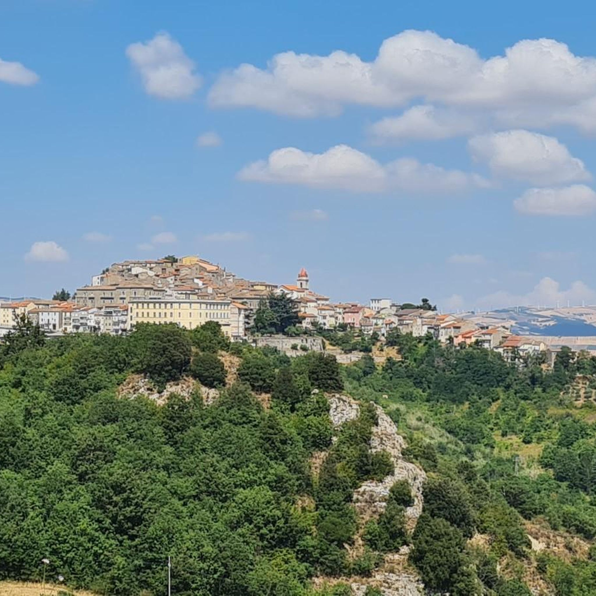
Molise village surrounded by greenery, it has small challenging climbs in the surrounding area that make it interesting to see by bike
0
0

Campodipietra is an Italian town with 2 433 inhabitants, located in the province of Campobasso, Molise. Its historic center rests on a rock overhanging a ravine called "fosso a basso". The area is rich in watercourses and springs, with a hilly landscape. Campodipietra was a strategic crossroads for the Lucera-Castel di Sangro tratturo, a transhumance route between Abruzzo and Puglia. https://it.wikipedia.org/wiki/Campodipietra
0
0
Sant'Elia a Pianisi is an Italian comune in Molise, with a population of 1,554 inhabitants. It is famous for a Franciscan convent dedicated to Padre Pio, who visited it in the early 1900s as a boarding school. https://www.comune.santeliaapianisi.cb.it/hh/index.php
1
0

Carlantino, a charming village in the Fortore river valley, dominates the majestic Occhito lake, one of the largest artificial reservoirs in Europe. Located in the extreme west of the province, it borders Campobasso. To the north, Mount San Giovanni adds further beauty to the landscape. https://www.provincia.foggia.it/La-Capitanata/I-Comuni-dei-Monti-Dauni/Carlantino
0
0
Celenza Valfortore, in Puglia, Italy, offers a panoramic view of the surrounding countryside and Lake Occhito. A picturesque town to immerse yourself in the local culture and enjoy the serenity of village life. https://www.comune.celenzavalfortore.fg.it/
0
0

The cathedral of the Holy Trinity is the mother church of Campobasso and seat of the metropolitan archdiocese. It is worth a visit inside because it is full of frescoes, stained glass windows and a pipe organ. It was destroyed by the earthquake of 1805 and rebuilt in the neoclassical style in the 19th century.
1
0

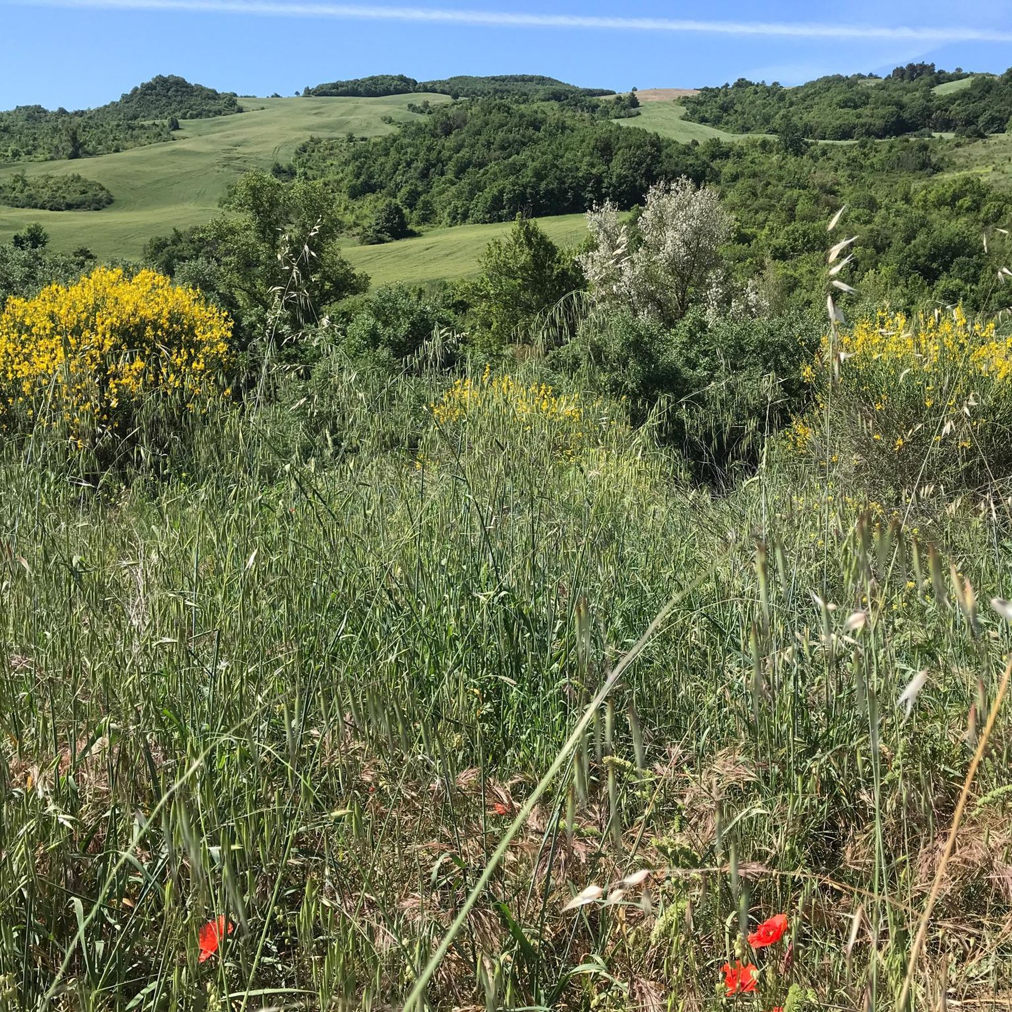
Hills and cultivated fields, the typical characteristic landscape of Molise. Gildone can be reached easily from Campobasso by tackling easy slopes.
0
0
Frequently Asked Questions
What kind of terrain can I expect on road cycling routes around Pietracatella?
The road cycling routes around Pietracatella are characterized by rolling hills and agricultural areas. You'll encounter a mix of ascents and descents, with routes often connecting small villages. The landscape offers varied elevation gains, making it suitable for different levels of road cyclists.
Are there road cycling routes suitable for beginners or those looking for a less challenging ride?
While many routes around Pietracatella feature significant elevation changes, there are options for those seeking a moderate challenge. For example, the Gildone Village – View of Gildone loop from Toro is a moderate 24.6-mile (39.6 km) trail that leads through village landscapes and is often completed in about 2 hours.
What are some of the more challenging road cycling routes in the Pietracatella area?
For experienced road cyclists, the region offers several difficult routes. The View of Gildone – Morcone loop from Riccia is a demanding 59.1-mile (95.1 km) trail with significant elevation changes, connecting multiple villages. Another challenging option is the View of the Railway Viaduct – Campobasso City Highlights loop from Ripabottoni-Sant'Elia, a 38.1-mile (61.3 km) path offering views of a railway viaduct and passing through highlights near Campobasso.
What are the typical distances and durations for road cycling routes around Pietracatella?
Road cycling routes in the area vary in length and time. You can find moderate routes like the Gildone Village – View of Gildone loop from Toro, which is about 24.6 miles (39.6 km) and takes around 2 hours. Longer, more difficult routes, such as the View of Gildone – Morcone loop from Riccia, can extend to 59.1 miles (95.1 km) and take over 5 hours to complete.
Are there any notable landmarks or scenic viewpoints along the road cycling routes?
Yes, several routes offer scenic views and pass by interesting landmarks. For instance, the View of the Railway Viaduct – Campobasso City Highlights loop from Ripabottoni-Sant'Elia provides views of a railway viaduct. You might also encounter highlights such as Santa Maria Regina della Pace viewpoint or the expansive Lago di Occhito in the broader region.
What do other road cyclists say about the routes in Pietracatella?
The road cycling routes around Pietracatella are highly rated by the komoot community, with an average score of 3.5 stars from over 4 reviews. Cyclists often appreciate the varied terrain, the connection between small villages, and the mix of moderate to difficult challenges available.
Are the road cycling routes around Pietracatella typically loop trails?
Many of the road cycling routes in the Pietracatella area are designed as convenient loop trails. Examples include the Gildone Village – View of Gildone loop from Toro and the Roadbike loop from Monacilioni, allowing you to start and finish at the same point.
What is the best season for road cycling in Pietracatella?
Given the region's climate, spring and autumn generally offer the most pleasant conditions for road cycling in Pietracatella, with milder temperatures and less extreme weather. Summer can be quite warm, especially in the midday sun, while winter might bring colder temperatures and a higher chance of precipitation.
Are there any routes that pass through villages where I might find cafes or places to rest?
Yes, many road cycling routes in Pietracatella are designed to connect small villages. This means you'll often pass through settlements where you can find local cafes or shops for refreshments and a brief rest. The routes frequently traverse agricultural plains and village roads, offering opportunities to experience local life.
How many road cycling routes are available around Pietracatella?
There are approximately 8 road cycling routes available around Pietracatella, offering a good selection for different preferences and skill levels. These include both moderate and difficult options.
Are there any road closures or specific conditions to be aware of?
While most routes are generally accessible, it's always wise to check for local conditions before heading out. For instance, one route, the View of Campobasso – Road Closed Due to Landslide loop from Toro, specifically mentions a road closure due to a landslide. Always consult local advisories or komoot's route updates for the most current information.
What are some of the starting points or trailheads for road cycling in the Pietracatella area?
Routes often start from nearby towns or villages. For example, you can find routes originating from Riccia, Toro, Ripabottoni-Sant'Elia, or Monacilioni. These locations serve as convenient starting points for exploring the surrounding road network.
Most popular routes around Pietracatella
Most popular attractions around Pietracatella

Get inspired with the komoot mobile app


Explore more
Browse the best Road cycling routes in other regions.
