The best running trails around Pettoranello Del Molise
4.4
(8)
189
runners
18
runs
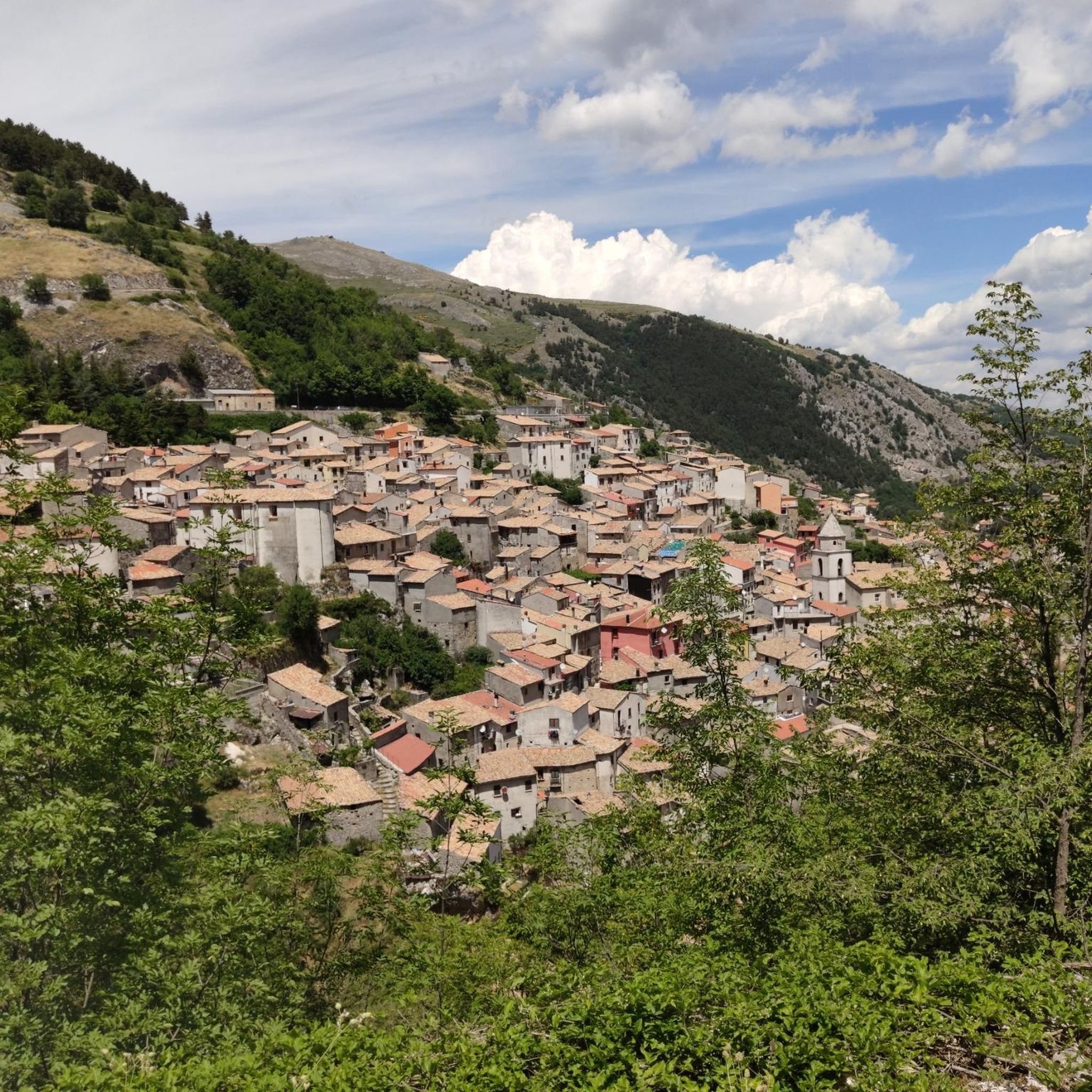
Jogging around Pettoranello Del Molise offers a diverse landscape for runners, characterized by its hilly terrain, valleys, and the presence of historic villages. The region provides a mix of natural and cultural scenery, with routes often traversing through varied elevations. Situated on a hillside in the green Matese area, the town provides panoramic views of the Frosolone mountain and the broader Matese region. Natural features include the Matese Regional Park and the beginning of the Volturno River, offering scenic running…
Last updated: October 8, 2026
1
runners
4.21km
00:30
90m
90m
Easy run. Great for any fitness level. Mostly paved surfaces. Suitable for all skill levels.
21
runners
13.0km
01:21
60m
60m
Moderate run. Good fitness required. Mostly paved surfaces. Suitable for all skill levels.

8
runners
12.0km
01:37
410m
410m
Hard run. Very good fitness required. Mostly paved surfaces. Suitable for all skill levels.
8
runners
19.7km
02:40
780m
780m
Hard run. Very good fitness required. Mostly paved surfaces. Suitable for all skill levels.
6
runners
8.74km
00:56
130m
130m
Moderate run. Good fitness required. Mostly paved surfaces. Suitable for all skill levels.
Get access to more routes and recommendations from other explorers.
Already have an account?
Our route recommendations are based on thousands of hikes, rides, and runs completed by other people on komoot.
Start today with a free account
Your next adventure awaits.

Tips from the Community

panoramic dirt road from Miranda towards Pesche
0
0

It was a flourishing Samnite city, capital of the Italic League and then Roman Municipality.
0
0

Carpinone is a small Molise village founded by the Lombards and then dominated by various noble families. The historic center is characterized by a double wall and by the Caldora castle, and among its natural attractions the waterfalls fed by the Carpino river and the Tura stream stand out.
1
0
The Carpinone waterfalls are technically two parallel waterfalls about 20 meters high that originate from the Carpino river and the Tura stream. The first is easier to access, to reach the second you continue on the path which becomes awkward further on.
1
0
The Schioppo waterfall is one of the three waterfalls of Carpinone. It is very close to the town center and is fed by the Carpino river. To reach it, just follow the signs from Piazza del Mercato and cross the path in the wood.
1
0

Beautiful city, together with Campobasso it is one of the two provinces of Molise. We sadly remember the bombing carried out by the allies during the Second World War which razed a large part of the historic center of the city and caused the death of many citizens.
2
0

This dirt track runs up the slopes of Monte Cimorre and is truly spectacular. The views from here are breathtaking. Along the way you also come across the Chapel of Santa Lucia.
1
0
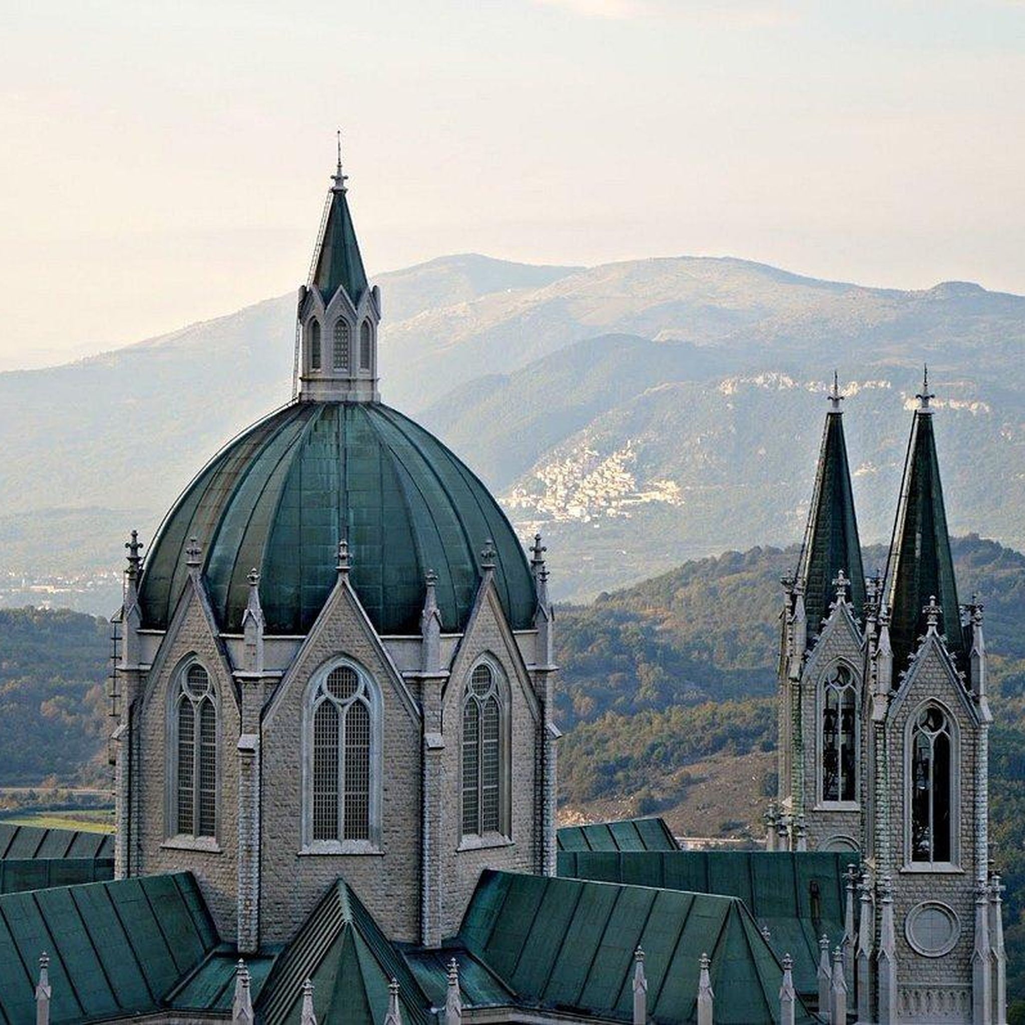
Isernia is the perfect destination for those who want to discover and enjoy the Apennines. The Fontana Fraterna and the Cathedral of San Pietro Apostolo are two points of interest not to be missed.
1
0
Frequently Asked Questions
How many running routes are available around Pettoranello Del Molise?
There are 12 dedicated running routes in the Pettoranello Del Molise area, offering a variety of options for different fitness levels and preferences.
Are there any easy jogging routes suitable for beginners or a relaxed run?
Yes, Pettoranello Del Molise offers 2 easy jogging routes. A great option is The Carpinone waterfalls and the historic village – loop run, which is 2.6 miles (4.2 km) and takes about 29 minutes, guiding you past scenic waterfalls and through a historic village.
What kind of terrain can I expect on the running trails in this region?
The running trails around Pettoranello Del Molise feature a diverse landscape, characterized by hilly terrain, natural valleys, and varied elevations. You'll find a mix of village paths and countryside, offering both natural and cultural scenery.
Are there any circular running routes in Pettoranello Del Molise?
Yes, many of the routes are circular. For example, The Carpinone waterfalls and the historic village – loop run is a popular circular option. There are also several 'Running loop from Isernia' routes, such as this 4.6-mile loop, and a more challenging Running loop from Miranda.
What can I see along the running routes in Pettoranello Del Molise?
The routes often pass by interesting landmarks and natural features. You might encounter historic settlements like Carpinone Historic Village or Pesche, and natural highlights such as the Cascata di Mille waterfall or the Fonte Maiuri Hut. Some routes also offer scenic viewpoints like View of Monteroduni.
Are there any challenging running trails for experienced runners?
Absolutely. For those seeking a challenge, there are 4 difficult routes. An example is the Rifugio Fonte Maiuri loop from Stadio Mario Lancellotta, which spans 23.7 miles (38.2 km) with significant elevation changes.
What do other runners say about the trails in Pettoranello Del Molise?
The running routes in Pettoranello Del Molise are highly regarded by the komoot community, holding an average rating of 4.8 out of 5 stars from numerous reviews. Runners often praise the diverse scenery, from historic villages to natural valleys, and the variety of routes available for all abilities.
Are there any routes that pass by waterfalls?
Yes, the The Carpinone waterfalls and the historic village – loop run specifically guides you past scenic waterfalls, offering a beautiful natural highlight during your run.
Can I find routes that lead to viewpoints or offer panoramic views?
Yes, the region's hilly terrain means many routes offer great views. You can find viewpoints such as View of Monteroduni and Santa Lucia Cross and Viewpoint (Miranda) along or near some of the trails, providing stunning vistas of the surrounding landscape.
What is the typical length of running routes in Pettoranello Del Molise?
The running routes vary significantly in length. You can find shorter, easy runs like the 2.6-mile Carpinone loop, moderate options around 4.6 to 6.1 miles such as the Running loop from Isernia, and much longer, challenging trails up to 23.7 miles like the Rifugio Fonte Maiuri loop.
Are there any historic villages or castles to explore near the running trails?
Many routes are close to or pass through historic areas. The Carpinone loop goes through a historic village. You can also find notable castles like Roccamandolfi Castle and Letino Castle in the broader region, which might be accessible from some trailheads.
What are the best times of year for running in Pettoranello Del Molise?
Pettoranello Del Molise offers enjoyable running conditions across many seasons. Spring and autumn generally provide mild temperatures and beautiful scenery, ideal for exploring the varied terrain. Summer mornings and evenings are also popular to avoid the midday heat, while winter runs can be invigorating, though some higher elevation trails might require checking local conditions.
Most popular routes around Pettoranello Del Molise
Most popular attractions around Pettoranello Del Molise

Get inspired with the komoot mobile app


Explore more
Browse the best Running Trails & Routes in other regions.
