The best walks and hikes around San Polo Matese
4.3
(200)
956
hikers
87
hikes
Hiking around San Polo Matese offers access to the Matese mountains and the Parco Regionale del Matese. The terrain is characterized by mountainous landscapes, including peaks like Gallinola and Monte Miletto, alongside features such as Lake Matese and Capo d'Acqua Springs. These routes often involve significant elevation changes, providing varied experiences for hikers.
Best hiking trails around San Polo Matese
- The most popular hiking route is Pianellone and Gallinola from the long lake of Matese – loop tour in the…
Last updated: July 2, 2026
5.0
(1)
8
hikers
Hard hike. Very good fitness required. Sure-footedness, sturdy shoes and alpine experience required.
4.0
(1)
3
hikers
7.91km
03:08
410m
410m
Hard hike. Good fitness required. Sure-footedness, sturdy shoes and alpine experience required.

Sign up for free
5.0
(2)
16
hikers
11.7km
05:00
680m
680m
Hard hike. Good fitness required. Sure-footedness, sturdy shoes and alpine experience required.
4.0
(4)
20
hikers
10.5km
03:21
410m
410m
Moderate hike. Good fitness required. Mostly accessible paths. Sure-footedness required.
4.6
(5)
25
hikers
Hard hike. Good fitness required. Sure-footedness, sturdy shoes and alpine experience required.
Get access to more routes and recommendations from other explorers.
Sign up for free
Already have an account?
Our route recommendations are based on thousands of hikes, rides, and runs completed by other people on komoot.
Start today with a free account
Your next adventure awaits.
Login or Signup

Tips from the Community

Gallinola (1,923 m above sea level) is the second highest peak in the Matese range and is located in Molise. It can be reached from Campitello Matese via a 5.5 km hike and an elevation gain of just under 500 meters. The view from the summit is spectacular, stretching from the Maiella to the Tyrrhenian Sea, clearly visible in good weather.
1
0

A short hike with no particular difficulties. The trailhead from Campitello Matese is unmarked and difficult to identify. The trail itself is poorly marked. For those like me who'd never done it, it's essential to follow the trail on an app or similar. The descent was made by descending from the chairlift side (which doesn't operate and doesn't appear to be in operation anymore), then descending along the ski slope, which halfway through features a barbed wire barrier (!) that I had to cross.
0
0

Challenging route with a difference in altitude of about 600m, starting from the Ecocamous refuge located in the Santa Maria valley. During the route you will encounter woods, valleys and a beautiful view of Lake Matese. The route leads to the highest peak in Campania, La Gallinola (1923m)
0
0

A mountain town with beautiful views, it's a shame it isn't looked after as it should, endless road and renovation works, few accommodations, each one a Patrizia in itself without a connection, non-existent tourist information. This is in the summer, in the winter they told me even worse as an organization
2
0

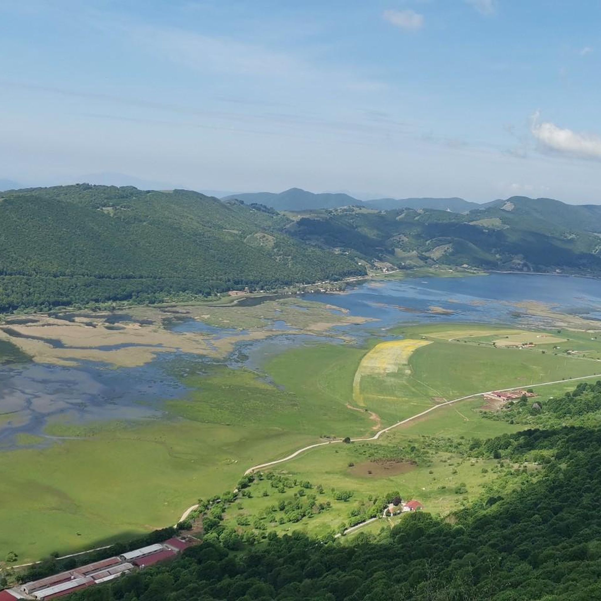
View overlooking the valley of Lake Matese
0
0
Getting there from the Santa Maria refuge was a slog but when you admire the view you understand that it's worth it
3
0

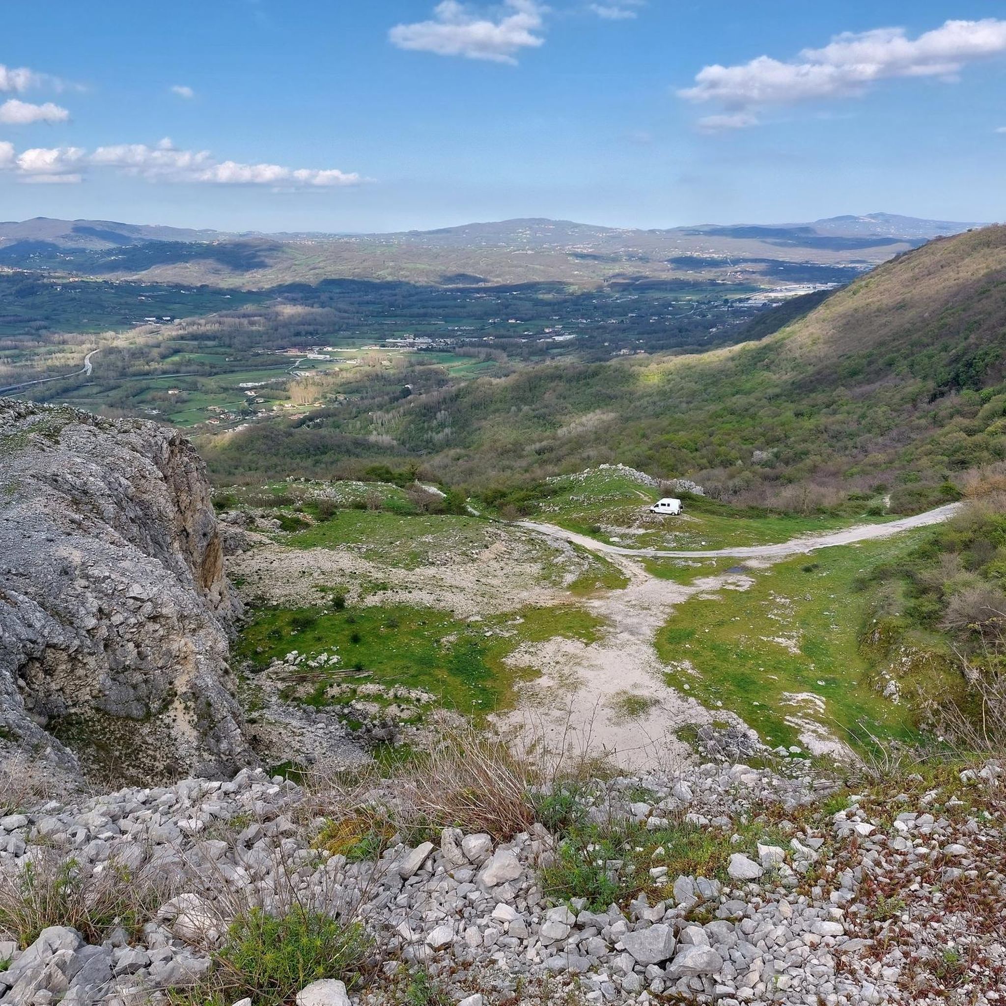
Well-equipped hermitage, it enjoys a breathtaking view and a very fresh water source
0
0

Easy dirt path that runs alongside the pastures occupied by the horses of the Falode Farmhouse
0
0
Frequently Asked Questions
How many hiking trails are available around San Polo Matese?
There are over 80 hiking trails in the San Polo Matese area. The network offers a wide range of options, including 12 easy, 30 moderate, and 40 difficult routes, catering to various experience levels.
Are there easy hiking trails suitable for beginners or families in San Polo Matese?
Yes, San Polo Matese offers 12 easy hiking routes. While the region is known for its mountainous terrain, these easier paths provide a gentler introduction to the landscape, often with less significant elevation changes. For families, consider routes that are shorter in distance and have minimal ascent.
What kind of challenges can I expect on advanced hiking routes in San Polo Matese?
Advanced routes in San Polo Matese, particularly those within the Parco Regionale del Matese, often involve significant elevation gains and descents, covering rugged mountain terrain. For example, the La Gallinola and Punta Giulia – Parco Regionale del Matese route features ascents to prominent peaks, offering challenging climbs and panoramic views.
Are there any circular hiking routes in the San Polo Matese area?
Yes, many routes in San Polo Matese are designed as loops, allowing you to start and end at the same point. A notable example is the Capo d'Acqua Springs – Monte Miletto summit loop from Campitello Matese, which takes you through mountainous terrain and includes the Capo d'Acqua Springs.
What natural attractions or landmarks can I see along the hiking trails?
The hiking trails around San Polo Matese offer access to several significant natural landmarks. You can explore the Monte Miletto Summit, the highest peak in the Matese massif, or ascend to the La Gallinola Summit. Other notable features include the Campitello Matese Plateau and the Pianellone Karst Plateau, both offering unique geological insights.
Are there any long-distance hiking options or multi-day treks in the region?
While many routes are day hikes, the extensive network within the Parco Regionale del Matese allows for longer, interconnected journeys. The region's mountainous character means even single-day routes, like the Pianellone and Gallinola from the long lake of Matese loop, can be quite demanding, covering nearly 15 km and significant elevation.
What is the best time of year to go hiking in San Polo Matese?
The best time for hiking in San Polo Matese is typically from late spring through early autumn (May to October). During these months, the weather is generally milder, and the trails are more accessible. Summer offers warm temperatures, while spring and autumn provide pleasant conditions with vibrant flora or colorful foliage. Winter hiking is possible but requires appropriate gear and experience due to snow and colder temperatures at higher elevations.
Can I bring my dog on the hiking trails in San Polo Matese?
Many trails in the Parco Regionale del Matese are dog-friendly, but it's always advisable to keep your dog on a leash, especially in areas with wildlife or livestock. Be mindful of the terrain, as some difficult routes may be challenging for pets. Always carry enough water for both yourself and your dog.
Are there opportunities for wild swimming near the hiking trails?
The region features Lake Matese, which is a significant natural water body. While specific designated wild swimming spots directly on hiking trails are not explicitly highlighted, the lake offers opportunities to cool off, though it's important to check local regulations and safety guidelines before entering the water.
What do other hikers enjoy most about hiking in San Polo Matese?
The area is highly rated by the komoot community, with an average score of 4.3 stars from over 180 reviews. Hikers often praise the stunning mountain views, the diverse terrain ranging from lake shores to high peaks, and the sense of immersion in the natural beauty of the Parco Regionale del Matese.
Are there any moderate difficulty hikes that offer great views?
Yes, there are 30 moderate routes available. For a rewarding experience with good views, consider the Hermitage of Sant'Egidio loop from Bojano. This route offers a balanced challenge and often provides scenic vistas of the surrounding landscape without the extreme demands of the most difficult trails.
Most popular attractions around San Polo Matese

Get inspired with the komoot mobile app


Explore more
Browse the best Hikes in other regions.
