The best road cycling routes around Quernheim
4.4
(60)
1,074
riders
152
rides
Road cycling around Quernheim offers diverse landscapes, featuring accessible routes through the Diepholzer Moorniederung, characterized by numerous lakes, rivers, and expansive green fields. The region also includes the Stemweder Berg area, which provides varied terrain for cyclists. Many routes are mostly paved, catering to different fitness levels.
Best road cycling routes around Quernheim
- The most popular road cycling route is Fischerstatt Waterway – Schäferhof Café loop from Lemförde, a 34.7 miles (55.8 km) trail that takes 2 hours 17…
Last updated: July 6, 2026
5.0
(1)
27
riders
55.6km
02:24
300m
300m
Moderate road ride. Good fitness required. Some segments of this route may be unpaved and difficult to ride.
20
riders
50.6km
02:03
90m
90m
Moderate road ride. Good fitness required. Some segments of this route may be unpaved and difficult to ride.

Sign up for free
17
riders
57.8km
02:42
310m
310m
Moderate road ride. Good fitness required. Mostly well-paved surfaces and easy to ride.
12
riders
31.5km
01:25
120m
120m
Easy road ride. Great for any fitness level. Mostly well-paved surfaces and easy to ride.
12
riders
Moderate road ride. Good fitness required. Some segments of this route may be unpaved and difficult to ride.
Get access to more routes and recommendations from other explorers.
Sign up for free
Already have an account?
Our route recommendations are based on thousands of hikes, rides, and runs completed by other people on komoot.
Start today with a free account
Your next adventure awaits.
Login or Signup
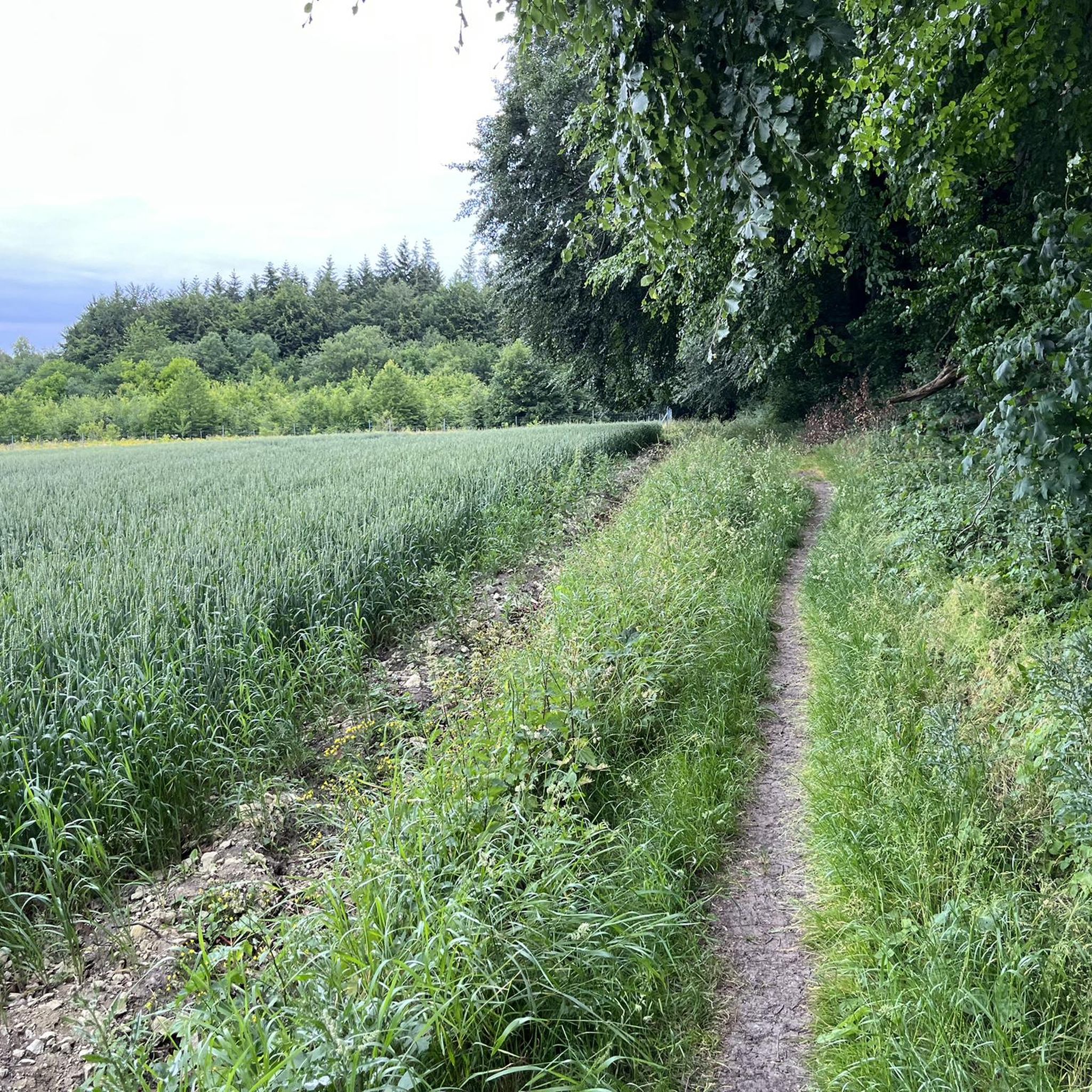
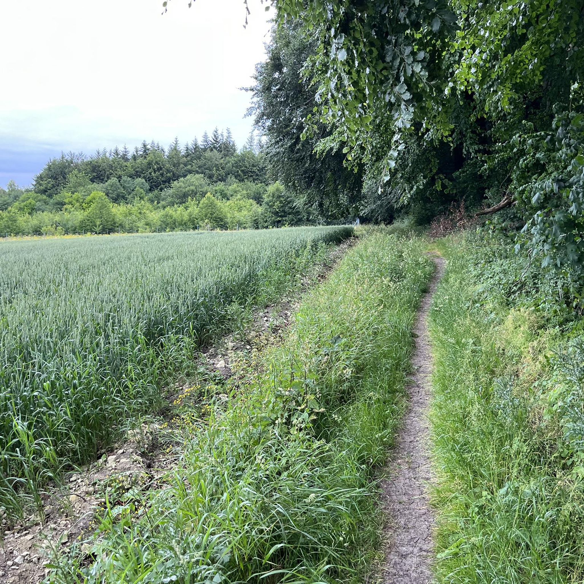
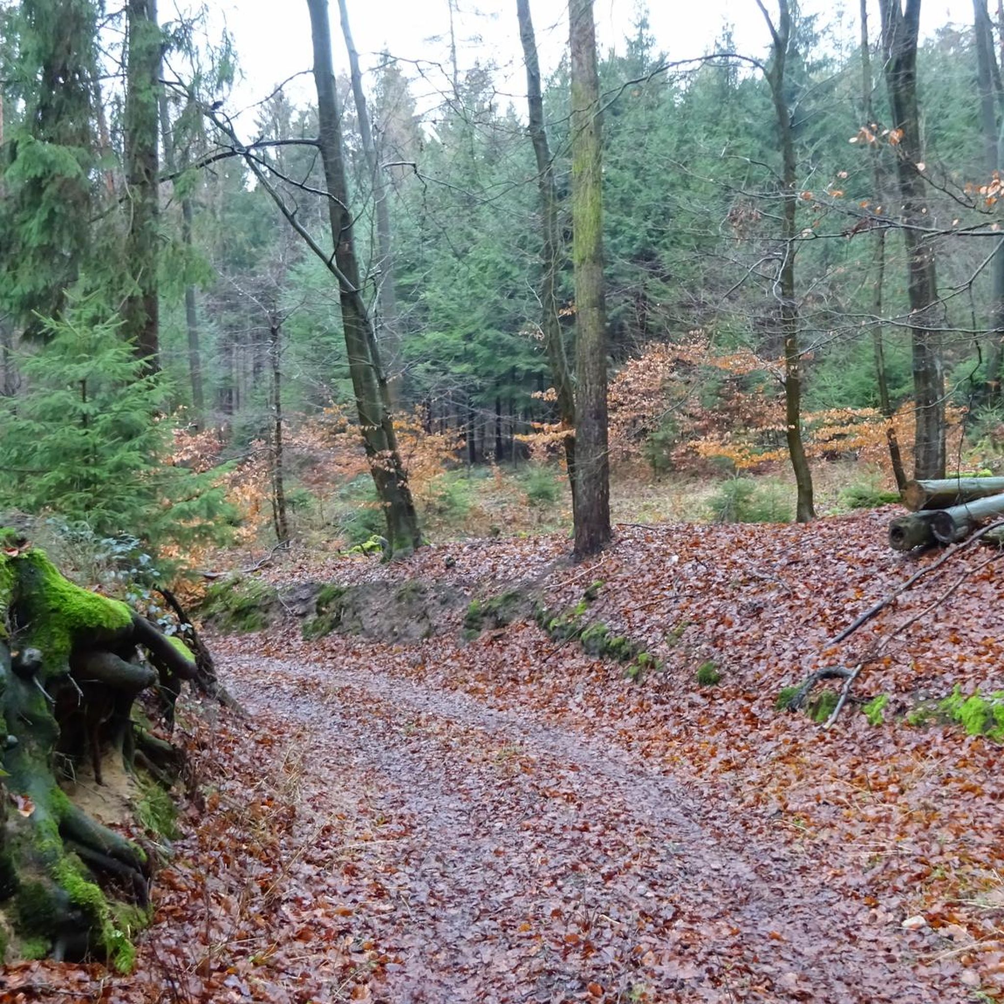
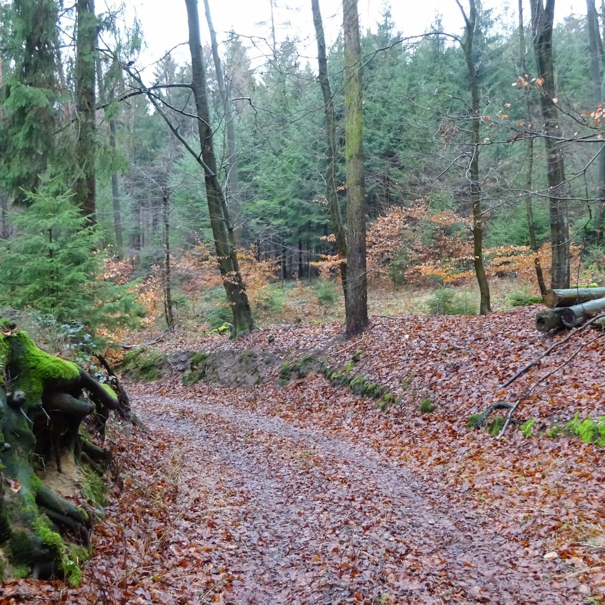
Tips from the Community

Nice curvy descent towards Bad Essen
0
0

Most people only know the view from the road into the Ochsenmoor. There is also the Ochsenmoor observation tower. It offers a very good overview of the moor from the other side. As it is located on the edge of the Erlenbruchwald, you have various habitats in view from there.
0
0

It's worth taking a short break there
0
0

Beautiful town center of Bad Essen. Very beautiful half-timbered houses can be seen here.
0
0
The Mittelland Canal (MLK) is a federal waterway[2] and, at 325.3 kilometers, the longest artificial waterway in Germany. Including side and connecting canals, the length is 392 km. It connects the Dortmund-Ems Canal with the Weser, the Elbe, and the Elbe-Havel Canal. In a broader sense, it is part of a connection between the Rhine and the Oder. In the west, the connection to the Rhine is established via the Dortmund-Ems Canal and the Rhine-Herne Canal or the Wesel-Datteln Canal. In the east, the Elbe-Havel Canal, the Untere Havel-Wasserstraße, and the Havel-Oder-Wasserstraße connect the Mittelland Canal with the Oder. In a European dimension, it enables a connection between the Netherlands, Belgium, Luxembourg, France, and Switzerland on the one hand, and Poland and the Czech Republic on the other. The canal is also known by the names Ems-Weser-Kanal, Weser-Ems-Kanal, Weser-Elbe-Kanal, Rhein-Elbe-Kanal, Elbe-Weser-Ems-Kanal, or Ems-Weser-Elbe-Kanal. These are old or regional designations that are now rarely used.
0
0

Here on the promenade you can stroll wonderfully
2
0

Finally, a "real highlight" 👌😀 #JB AdventureTours has described everything else very well.
2
0
Frequently Asked Questions
What kind of terrain and difficulty can I expect on road cycling routes around Quernheim?
Road cycling around Quernheim offers diverse landscapes, ranging from expansive green fields and numerous lakes to the forested areas of Stemweder Berg. Many routes are mostly paved, catering to different fitness levels. You'll find options for easy, moderate, and difficult rides, with elevation gains varying depending on the specific route.
Are there road cycling routes suitable for beginners or those seeking an easier ride in Quernheim?
Yes, Quernheim offers several easy road cycling routes. For example, the Drinking Water Fountain Wehdem – Historic Boundary Stone loop from Lemförde is an easy 31.6 km trail with manageable elevation, perfect for a relaxed ride. Overall, 33 of the 162 available routes are classified as easy.
What natural features and landmarks can I see while road cycling in Quernheim?
While road cycling in Quernheim, you can explore the scenic Diepholzer Moorniederung, characterized by numerous lakes, rivers, and expansive green fields. A significant natural highlight is Lake Dümmer East Shore, offering excellent views. You might also pass by the Dümmer West Viewing Tower for panoramic vistas, or the Lookout tower at the southern Dümmer Lake.
When is the best time of year for road cycling in Quernheim?
The best time to enjoy road cycling in Quernheim is typically from spring to autumn. During these seasons, the weather is generally most favorable for outdoor activities, allowing you to fully appreciate the diverse landscapes and natural beauty of the region.
Is there convenient parking available for cyclists in Quernheim?
While specific parking areas for cyclists are not detailed in the route information, Quernheim is generally accessible. Many routes, like the Fischerstatt Waterway – Schäferhof Café loop from Lemförde, often start from towns like Lemförde or Haldem, where public parking options are usually available. It's advisable to check local parking facilities in your chosen starting town.
Can I access road cycling routes in Quernheim using public transport with my bike?
Quernheim is a smaller town, and while public transport options exist, carrying bikes on regional buses or trains can sometimes be restricted or require special arrangements. It's recommended to check the specific public transport provider's policies regarding bicycle carriage for routes to Quernheim or nearby towns like Lemförde or Haldem before planning your trip.
What do other road cyclists enjoy the most about road cycling in Quernheim?
The road cycling routes around Quernheim are highly rated by the komoot community, with an average score of 4.4 stars from over 50 reviews. Reviewers often praise the diverse landscapes, including expansive green fields, numerous lakes, and the forested areas of Stemweder Berg, as well as the variety of routes catering to different ability levels.
Are there family-friendly road cycling routes in Quernheim?
Yes, Quernheim offers routes suitable for families, especially those looking for mostly paved and less challenging rides. The region's accessible routes through the Diepholzer Moorniederung, with its flat terrain, are often ideal for family outings. Consider easy routes like the Drinking Water Fountain Wehdem – Historic Boundary Stone loop from Lemförde for a pleasant family experience.
Are there any challenging road cycling options for experienced riders in Quernheim?
While Quernheim is known for its accessible routes, there are options for more experienced riders seeking a challenge. Routes like the Schäferhof Café – Fischerstatt Waterway loop from Haldem, a moderate 54.8 km path with an elevation gain of 289 m, offer varied terrain. There are also 2 routes classified as difficult among the 162 available, providing more demanding rides.
Are there circular road cycling routes available around Quernheim?
Yes, many of the road cycling routes around Quernheim are designed as loops, allowing you to start and end in the same location. Examples include the popular Fischerstatt Waterway – Schäferhof Café loop from Lemförde and the Road Near Hitzhausen – Hitzhausen Ascent loop from Lemförde, providing convenient circular journeys through the region's diverse landscapes.
What are some popular road cycling routes in the Quernheim area?
Some of the most popular road cycling routes include the Fischerstatt Waterway – Schäferhof Café loop from Lemförde, which offers views of waterways and rural landscapes. Another favorite is the Schäferhof Café – Fischerstatt Waterway loop from Haldem, known for its varied terrain. The Drinking Water Fountain Wehdem – Road to Lembruch loop from Lemförde is also a well-regarded moderate option.
Are there cafes or pubs conveniently located near road cycling routes in Quernheim?
While specific cafes and pubs directly on every route are not detailed, many routes start or pass through towns like Lemförde or Haldem, and the region around Lake Dümmer is developed for tourism. It's common to find refreshment stops in these areas, especially in the more populated sections or tourist-friendly spots along the lake.
Most popular attractions around Quernheim

Get inspired with the komoot mobile app


Explore more
Browse the best Road cycling routes in other regions.
