The best walks and hikes around Caianello
4.1
(51)
179
hikers
39
hikes
Hiking around Caianello offers diverse landscapes, from ancient chestnut forests to volcanic terrain and historical sites. The region is characterized by varied elevations, including hills and paths leading to natural features like waterfalls. Trails often incorporate medieval ruins and megalithic structures, providing a blend of natural beauty and historical discovery. This area provides a range of hiking experiences suitable for different fitness levels.
Best hiking trails around Caianello
- The most popular hiking route is From Roccamonfina to the Conca della…
Last updated: June 25, 2026
3.9
(7)
15
hikers
15.5km
04:39
500m
500m
Embark on the "From Roccamonfina to the Conca della Campania Waterfall – ring tour," a moderate hike through the scenic Roccamonfina Regional Park. This 9.6-mile (15.5 km) loop takes you…
4.5
(2)
9
hikers
17.1km
05:02
480m
480m
The Roccamonfina Loop Trail offers a challenging hike through a landscape shaped by ancient volcanoes, now covered in thick sweet chestnut forests. You will navigate 10.6 miles (17.1 km) of…

Sign up for free
5.0
(1)
3
hikers
15.9km
05:17
760m
760m
Hard hike. Very good fitness required. Easily-accessible paths. Suitable for all skill levels.
4.5
(4)
16
hikers
9.70km
02:49
250m
260m
Moderate hike. Good fitness required. Easily-accessible paths. Suitable for all skill levels.
4.2
(6)
15
hikers
5.80km
01:53
260m
260m
Easy hike. Great for any fitness level. Easily-accessible paths. Suitable for all skill levels.
Get access to more routes and recommendations from other explorers.
Sign up for free
Already have an account?
Our route recommendations are based on thousands of hikes, rides, and runs completed by other people on komoot.
Start today with a free account
Your next adventure awaits.
Login or Signup

Tips from the Community

Good morning guys, but how do we organize ourselves with other users to do it together?
0
0

Walls of the Queen's Garden
0
0


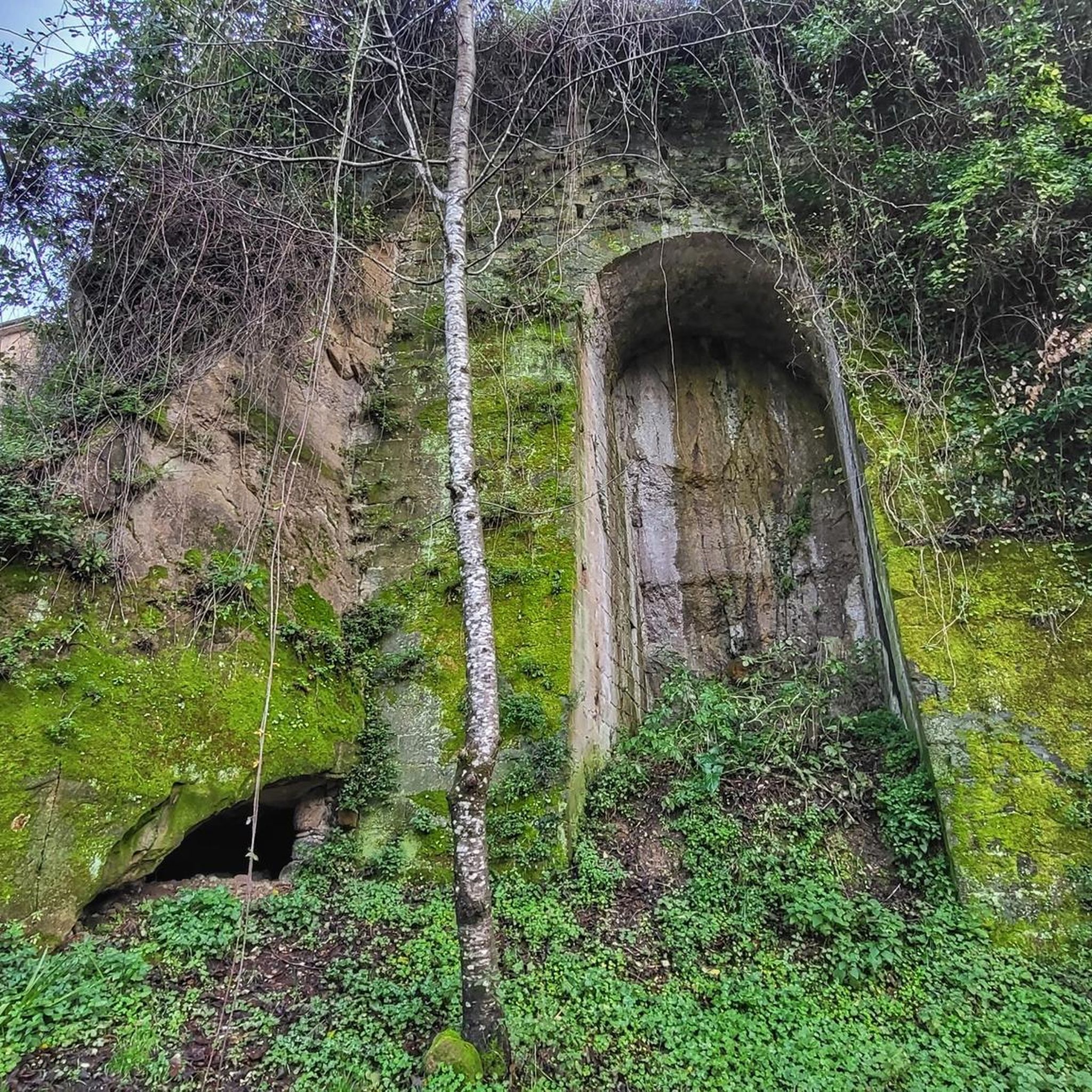
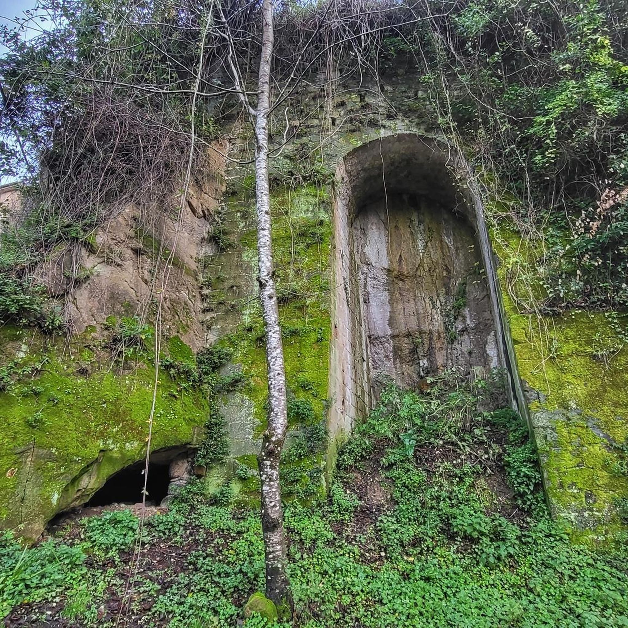
The Garden of the Queen is a short path, easily accessible with children and offers the thrill of discovering a place shrouded in mystery. The path starts immediately uphill but is very short (about 800 meters to the destination), for where the difficulty level is really low. You know you're on the right path because there are fences that accompany you and the climb is made easier by steps made from tree trunks. A few meters later, there it was, in the middle of the forest surrounded by trees and covered in green moss. A large wall, made of enormous trachyte boulders, which extends for a perimeter of approximately 250 metres. How many millennia have passed since man laid the first stone here? It is not known, it is thought that the walls were built around the 5th century BC, evidence of the presence of man in very ancient times in this area. It is not even clear what the function was: some speak of a temple dedicated to a divinity from the pre-Roman epic, while others assume it was a military post which had the function of controlling the border areas. Even the name "garden" suggests one of these two hypotheses: "hortus" means enclosure (used in a military sense), or it can also be understood as a sacred place.
1
0

beautiful in this season for the flowering gorse
0
0

Castle ruins and medieval Town. Worth the visit in combination with the amphitheatre. Spectacular views of the surrounding countryside and the Apennine Mountains.
0
0

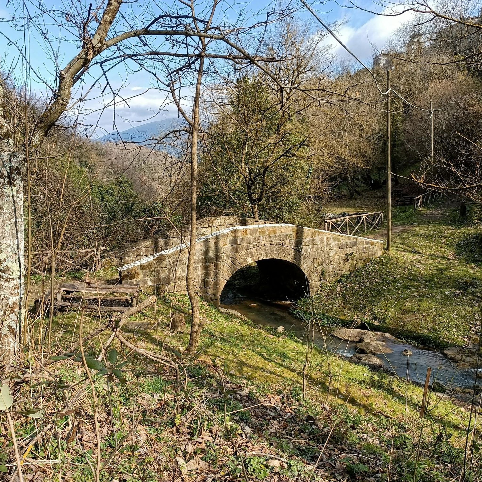
Natural water source in stone structure that includes the representation of some carved faces.
0
0
Frequently Asked Questions
How many hiking trails are available around Caianello?
There are over 30 hiking routes in the Caianello region, catering to various fitness levels. You'll find a mix of easy paths, moderate trails, and more challenging routes through diverse landscapes.
Are there any easy or family-friendly hiking options in Caianello?
Yes, Caianello offers several easy paths suitable for families and beginners. For instance, the area around the Orto della Regina Megalithic Walls features a short, easy path perfect for children, allowing them to explore ancient structures within the forest.
Can I find circular hiking routes in the Caianello area?
Many of the trails around Caianello are designed as circular routes, offering a convenient way to explore without retracing your steps. An example is the moderate Conca Waterfall loop from Roccamonfina, which is about 9.3 km long.
Are there any trails that feature waterfalls?
Absolutely. The Caianello region is home to the beautiful Conca della Campania Waterfall. You can discover it on routes like the moderate From Roccamonfina to the Conca della Campania Waterfall – ring tour, which takes you directly to this natural attraction. You can also visit the Conca della Campania Waterfall as a highlight.
What kind of historical sites can I expect to see on hikes in Caianello?
Caianello's trails often blend natural beauty with rich history. You can encounter medieval ruins, ancient Roman roads, and even megalithic structures. For example, the Castello di Roccaromana – Roman Theatre of Pietravairano loop from Pietravairano takes you past historical landmarks. The Strada Adrianea (Ancient Roman Road) is another notable historical site.
Are there any challenging hikes for experienced trekkers?
Yes, for those seeking a challenge, Caianello offers difficult routes. The Roccamonfina Loop Trail is a demanding 17.1 km path that navigates through ancient chestnut forests and volcanic terrain, providing panoramic views.
What are the typical landscapes encountered on hikes around Caianello?
Hikers in Caianello will experience diverse landscapes, including ancient chestnut forests, unique volcanic terrain, and varied elevations. Many trails also lead through areas with historical significance, offering a blend of natural and cultural exploration.
What do other hikers say about the trails in Caianello?
The hiking routes in Caianello are highly regarded by the komoot community, with an average score of 4.3 stars from over 40 reviews. Hikers frequently praise the region's diverse terrain, the blend of natural beauty with historical sites, and the well-maintained paths.
Are there any trails that offer panoramic views?
Many trails in Caianello provide stunning panoramic views, especially those that ascend to higher elevations or traverse volcanic terrain. The From Vairano Patenora to Monte Caievola and Pietravairano – ring tour, for example, leads through varied landscapes that offer expansive vistas of the surrounding countryside and the Apennine Mountains.
What is the best time of year to go hiking in Caianello?
While specific recommendations depend on the trail, the diverse landscapes of Caianello can be enjoyed across multiple seasons. Spring and autumn generally offer pleasant temperatures and vibrant scenery, ideal for exploring both the forests and historical sites. Some trails may also be suitable for winter hikes, but always check conditions beforehand.
Are there any unique natural features to discover on the trails?
Beyond waterfalls, Caianello boasts intriguing natural features. You can find a natural water source integrated into a stone structure adorned with carved faces, adding a touch of mystery to your hike. The volcanic terrain itself is a unique geological characteristic of the region.
Most popular attractions around Caianello

Get inspired with the komoot mobile app


Explore more
Browse the best Hikes in other regions.
