The best walks and hikes around Pignataro Maggiore
4.1
(16)
57
hikers
15
hikes
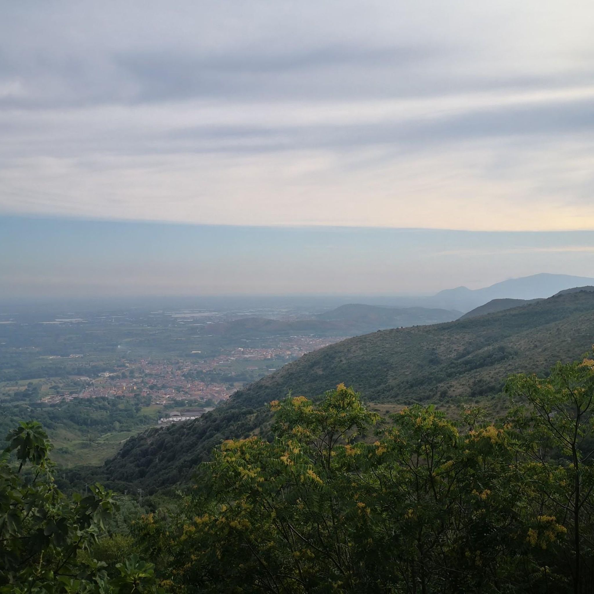
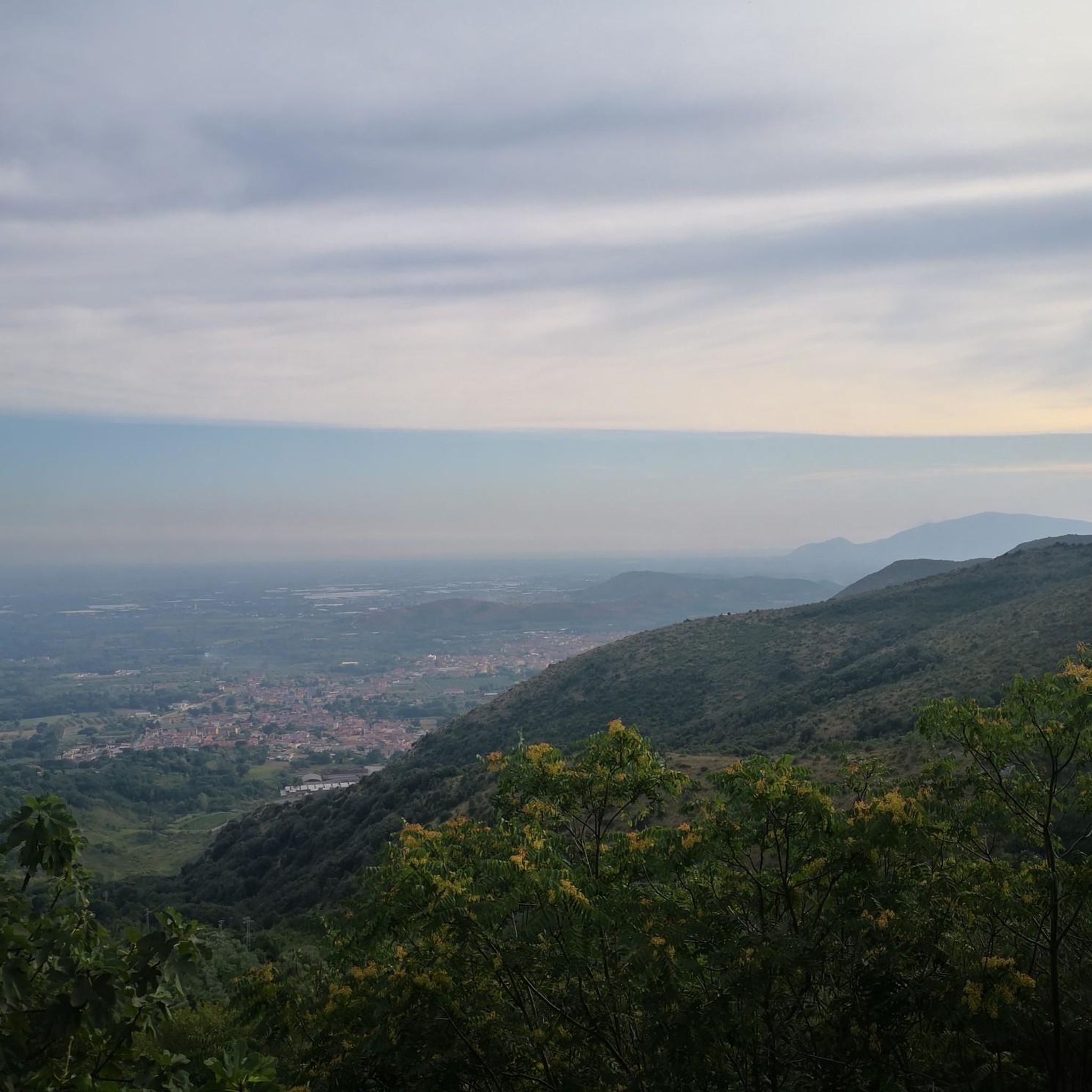
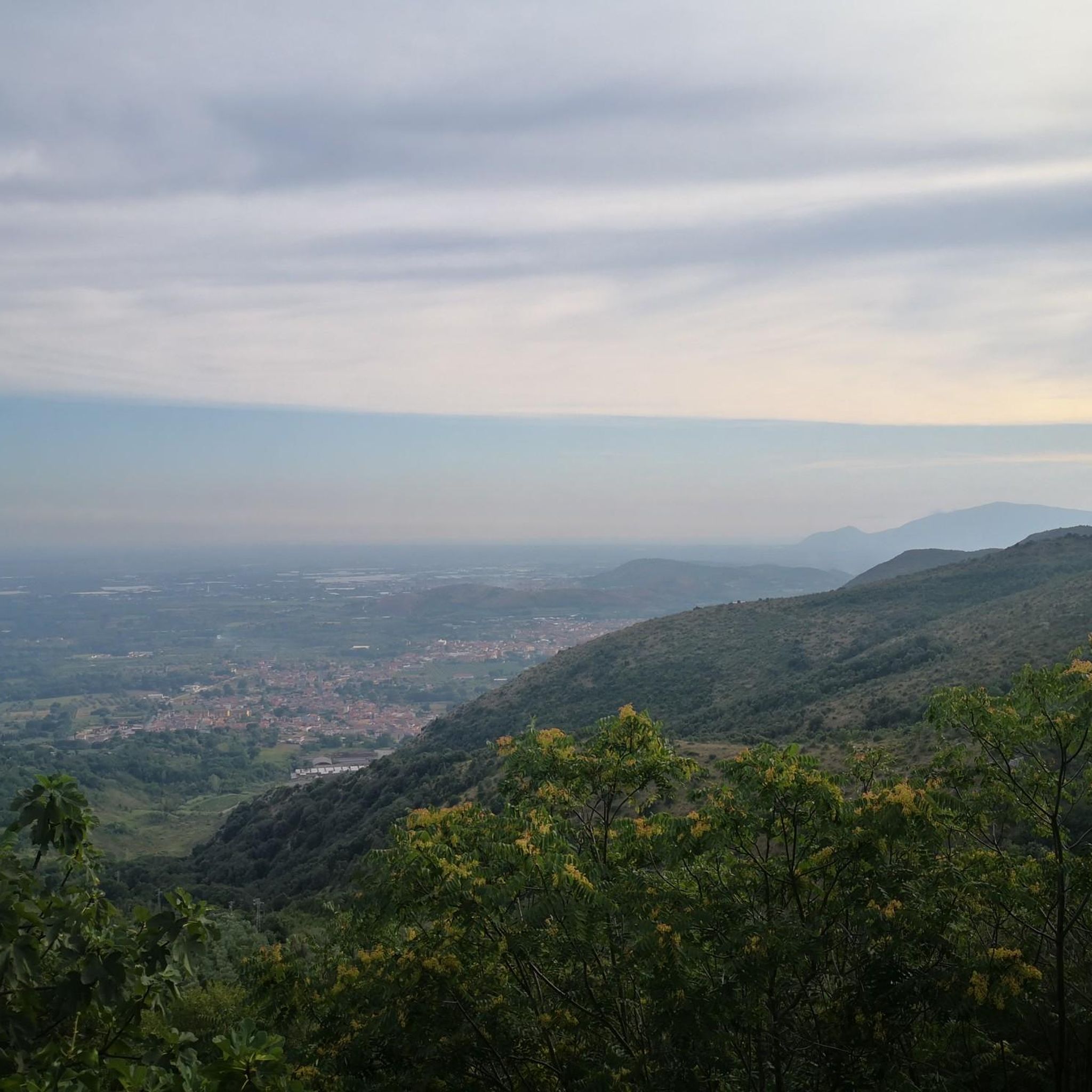
Hiking around Pignataro Maggiore offers exploration of a pre-hilly area in Italy's Campania region. The landscape is characterized by a mix of pyroclastic tuffites and pre-Apennine limestone formations. It is situated at the foot of the Monti Trebulani massif, featuring peaks such as Monte Morata and Monte Pozzo. The region extends towards the dormant Roccamonfina volcano to the north and the Volturno river to the south.
Best hiking trails around Pignataro Maggiore
- The most popular hiking route is Hiking loop from Rocchetta e Croce, a 2.2 miles (3.5 km) moderate path that takes 1 hour 52 minutes to complete, offering a shorter exploration of the local terrain.
- Another top favourite among local hikers is Via Micaelica Transit Trail, a moderate 7.4 miles (11.9 km) path. This route features significant elevation gain, climbing over 1600 feet (490 meters).
- Local hikers also love the Nocce–Fradejanne Trail loop from Rocchetta e Croce, a 2.9 miles (4.7 km) trail leading through varied terrain, often completed in about 2 hours.
- Hiking around Pignataro Maggiore is defined by pre-hilly terrain, limestone formations, and views of the Monti Trebulani massif. The network offers options for different ability levels, including easy and moderate routes.
- The routes in Pignataro Maggiore are highly rated by the komoot community with an average score of 4.0 stars from over 10 reviews. More than 40 hikers have used komoot to explore Pignataro Maggiore's varied terrain.
Last updated: August 18, 2026
6
hikers
27.9km
07:43
500m
420m
Hard hike. Very good fitness required. Easily-accessible paths. Suitable for all skill levels.
2.0
(1)
2
hikers
11.9km
04:01
490m
490m
Moderate hike. Good fitness required. Mostly accessible paths. Sure-footedness required.

Sign up for free
4.7
(3)
6
hikers
3.56km
01:53
310m
300m
Moderate hike. Good fitness required. Mostly accessible paths. Sure-footedness required.
5.0
(1)
4
hikers
4.74km
02:00
310m
310m
Moderate hike. Good fitness required. Mostly accessible paths. Sure-footedness required.
3.0
(1)
4
hikers
Moderate hike. Good fitness required. Easily-accessible paths. Suitable for all skill levels.
Get access to more routes and recommendations from other explorers.
Sign up for free
Already have an account?
Our route recommendations are based on thousands of hikes, rides, and runs completed by other people on komoot.
Start today with a free account
Your next adventure awaits.
Login or Signup

Tips from the Community

path all in the shade with a cave and two excellent viewpoints. Mandatory trekking shoes and recommended poles. 4 km long but requires good mastery. To be considered as EE....
1
0

Going up the road to Rocchetta, on the right at the indicated point is the entrance to the path that goes up towards Nocce - Fradejanne.
0
0

If I'm not mistaken it's in Campania, not in Calabria.
2
0

One of the small fractions of the municipality of Rocchetta and Croce. You can get here with the famous Trombettiere climb.. you will hardly forget it.
1
0

Here there is a beautiful panoramic point next to the Sanctuary of San Salvatore. The church of S. Salvatore is still today the destination of many pilgrims, and every 1st May the Holy Mass is celebrated.
2
0
Croce is a mountain community at an altitude of 857 metres, and here you can also proceed towards S. Salvatore on the Via Francigena. Here are a small church and a former monastery.
2
0
Rocchetta is a small fraction and is part of the municipality of Rocchetta and Croce, one of the least populated municipalities in all of Calabria. From here it is possible to enjoy a fantastic panoramic view, as well as the suggestive atmosphere of the village.
1
1

Frequently Asked Questions
How many hiking trails are available around Pignataro Maggiore?
There are 8 hiking routes around Pignataro Maggiore, offering a range of experiences from easy strolls to more challenging moderate hikes through the pre-hilly landscape and Monti Trebulani massif.
What kind of terrain can I expect on hikes in Pignataro Maggiore?
The terrain around Pignataro Maggiore is characterized by a mix of pyroclastic tuffs and pre-Apennine limestone formations. You'll find yourself in a pre-hilly area, with routes often leading up to peaks like Monte Morata and Monte Pozzo, offering varied elevations and scenic views.
Are there any easy hiking trails suitable for beginners or casual walkers?
Yes, there is 1 easy route available. While most trails are moderate, the region offers options for different ability levels, allowing beginners to enjoy the natural beauty of the area.
Are there any circular hiking routes around Pignataro Maggiore?
Yes, several routes are designed as loops. For example, you can explore From Rocchetta to Croce – ring tour, a moderate 7.4-mile (11.9 km) trail, or the shorter Hiking loop from Rocchetta e Croce, which is 2.2 miles (3.5 km). Another option is the Via Appia Antica – Ancient Mule Track loop from Teano, a 7.3-mile (11.8 km) historical journey.
What are some natural features or landmarks I might see while hiking?
The region is rich in natural and historical points of interest. You can explore the Monti Trebulani massif, including peaks like Monte Morata and Monte Pozzo. The area also extends towards the extinct Roccamonfina volcano and the Volturno river. For a unique blend of nature and history, consider visiting the ancient Grotta dei Santi (Cave of the Saints), carved into tuff. Nearby, the San Vito Trails offer further exploration.
Are there any family-friendly hiking options in the area?
While specific family-friendly routes are not detailed, the presence of easy trails and local natural spaces like the San Giorgio Park suggests that some routes could be suitable for families. The WWF Oasis Bosco di San Silvestro, with its diverse flora and wildlife, also offers excellent opportunities for nature walks and observation that families might enjoy.
Can I bring my dog on the hiking trails around Pignataro Maggiore?
Generally, dogs are welcome on many outdoor trails in Italy, but it's always best to check local regulations or specific trail rules before heading out. Given the natural setting of Pignataro Maggiore, many paths are likely suitable for well-behaved dogs on a leash.
What do other hikers say about the trails in Pignataro Maggiore?
The routes in Pignataro Maggiore are highly rated by the komoot community, with an average score of 4.0 stars from over 10 reviews. Hikers often praise the varied terrain and the opportunities to explore both natural landscapes and historical sites.
What is the best time of year to go hiking in Pignataro Maggiore?
Pignataro Maggiore, located in Campania, generally enjoys a mild Mediterranean climate. Spring and autumn are typically ideal for hiking, offering pleasant temperatures and vibrant natural scenery. Summers can be hot, so early morning or late afternoon hikes are recommended, while winters are mild but can bring some rain.
Are there any longer, more challenging routes for experienced hikers?
Most of the routes around Pignataro Maggiore are classified as moderate. The longest moderate trail is From Rocchetta to Croce – ring tour, covering 7.4 miles (11.9 km) with significant elevation gain, taking approximately 4 hours. Another substantial option is the Teatro Ricciardi – Roman Bridge of Capua loop from Capua, which is 4.9 miles (7.9 km) long.
What are some other interesting places to visit near Pignataro Maggiore?
Beyond the hiking trails, the region offers several attractions. You could visit the Royal Palace of Carditello, a significant historical site. For those interested in climbing, Salita del Trapezio is nearby. The WWF Oasis Bosco di San Silvestro is also a great spot for nature observation.
Most popular attractions around Pignataro Maggiore

Get inspired with the komoot mobile app


Explore more
Browse the best Hikes in other regions.
