The best road cycling routes in the Purcell Mountains
5.0
(3)
292
riders
15
rides
Road cycling routes in the Purcell Mountains traverse a landscape characterized by rugged mountain ranges, alpine meadows, and lush forests. The region features high glaciated mountains and numerous alpine lakes, alongside rushing rivers and verdant wetlands. Road cyclists can expect varied terrain, including well-paved surfaces and some unpaved segments, with gradients ranging from long and gradual to shorter, steeper courses. This diverse topography provides a challenging environment for road cycling.
Best road cycling routes in the Purcell Mountains
- The most…
Last updated: July 7, 2026
140km
07:00
2,220m
2,220m
Cycle the difficult 87.0-mile Koocanusa Lake loop in Kootenai National Forest, featuring stunning lake views and significant elevation gain.
60
riders
68.5km
04:00
780m
780m
Moderate road ride. Good fitness required. Mostly well-paved surfaces and easy to ride.

Sign up for free
22
riders
68.0km
03:53
760m
760m
Moderate road ride. Good fitness required. Mostly well-paved surfaces and easy to ride.
5.0
(1)
21
riders
25.3km
01:37
510m
510m
Moderate road ride. Good fitness required. Mostly well-paved surfaces and easy to ride.
13
riders
36.7km
02:02
360m
360m
Moderate road ride. Good fitness required. Mostly well-paved surfaces and easy to ride.
12
riders
38.5km
02:09
400m
400m
Moderate road ride. Good fitness required. Mostly well-paved surfaces and easy to ride.
6
riders
37.3km
01:49
380m
380m
Moderate road ride. Good fitness required. Mostly well-paved surfaces and easy to ride.
5
riders
34.7km
01:53
440m
440m
Moderate road ride. Good fitness required. Mostly well-paved surfaces and easy to ride.
5.0
(1)
7
riders
91.0km
04:24
1,160m
1,160m
Hard road ride. Very good fitness required. Mostly well-paved surfaces and easy to ride.
4
riders
27.0km
01:28
370m
370m
Moderate road ride. Good fitness required. Mostly well-paved surfaces and easy to ride.
Get access to more routes and recommendations from other explorers.
Sign up for free
Already have an account?
Our route recommendations are based on thousands of hikes, rides, and runs completed by other people on komoot.
Start today with a free account
Your next adventure awaits.
Login or Signup
Popular around Purcell Mountains

Pacific Northwest National Scenic Trail — From Alpine to Alava through the untamed Northwest

Cross Canada Ride — heading east for 6,800km

BC Epic 1000
Hiking in the Purcell Mountains
Cycling in the Purcell Mountains
MTB Trails in the Purcell Mountains
Running Trails in the Purcell Mountains
Gravel biking in the Purcell Mountains


Tips from the Community

A nice view over Libby Lake Dam on the National Forest Development road 228.
0
0
The Koocanusa Bridge is the highest and longest bridge Montana. It also overlaps with the Pacific Northwest hiking Trail, which begins in Montana and ends in Cape Alava on the coast of Washington State.
1
0

Koocanusa Bridge is the tallest and longest bridge in Montana. It spans the width of the Kootenai River where it forms Koocanusa Lake. Parking is available on both sides of the bridge.
0
0
Frequently Asked Questions
How many road cycling routes are available in the Purcell Mountains?
The Purcell Mountains offer 15 road cycling routes, with options ranging from moderate to difficult. Over 200 road cyclists have explored these routes using komoot, praising the diverse terrain and stunning scenery.
What kind of terrain can I expect when road cycling in the Purcell Mountains?
Road cycling in the Purcell Mountains features rugged and dramatic landscapes. You'll encounter varied terrain, including well-paved surfaces and, on some routes, unpaved segments. Gradients can be long and gradual, particularly on eastward-flowing river routes, while westward-flowing tributaries often present shorter, steeper courses. This diverse topography provides a challenging and rewarding environment for cyclists.
What is the best time of year for road cycling in the Purcell Mountains?
The best time for road cycling in the Purcell Mountains is generally during the warmer months when alpine meadows come alive with wildflowers and snow has receded from higher elevations. Cyclists can expect snow-free conditions for most routes during late spring, summer, and early fall, though some higher passes may have seasonal closures.
Are there any family-friendly road cycling routes in the Purcell Mountains?
While many routes in the Purcell Mountains offer challenging terrain, some loops originating from towns like Marysville or Creston can be adapted for varying fitness levels. These may include shorter rides with less elevation gain, suitable for families looking for a more relaxed experience. Always check the route details for specific difficulty and elevation profiles.
Can I bring my dog on road cycling routes in the Purcell Mountains?
The suitability of bringing dogs on road cycling routes in the Purcell Mountains depends on the specific trail and local regulations. While some paved paths might be dog-friendly, many routes traverse natural areas where wildlife is abundant. It's always best to check local park rules and ensure your dog is well-behaved and leashed for their safety and that of wildlife.
What are some notable natural features or landmarks I might see while cycling?
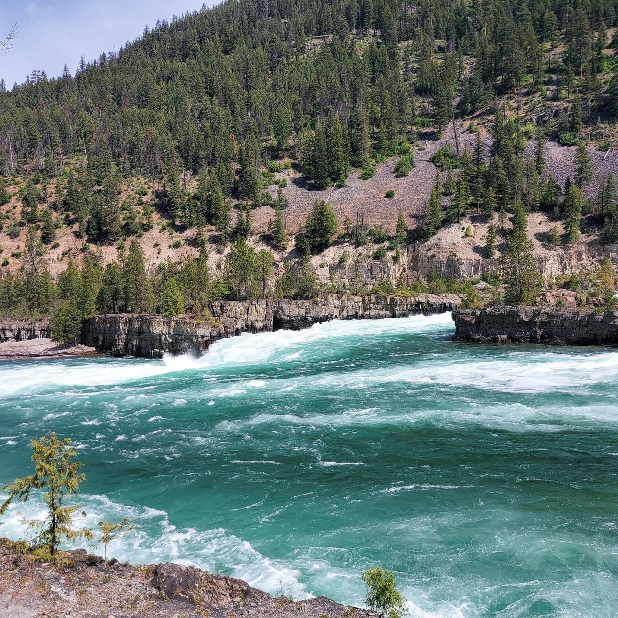
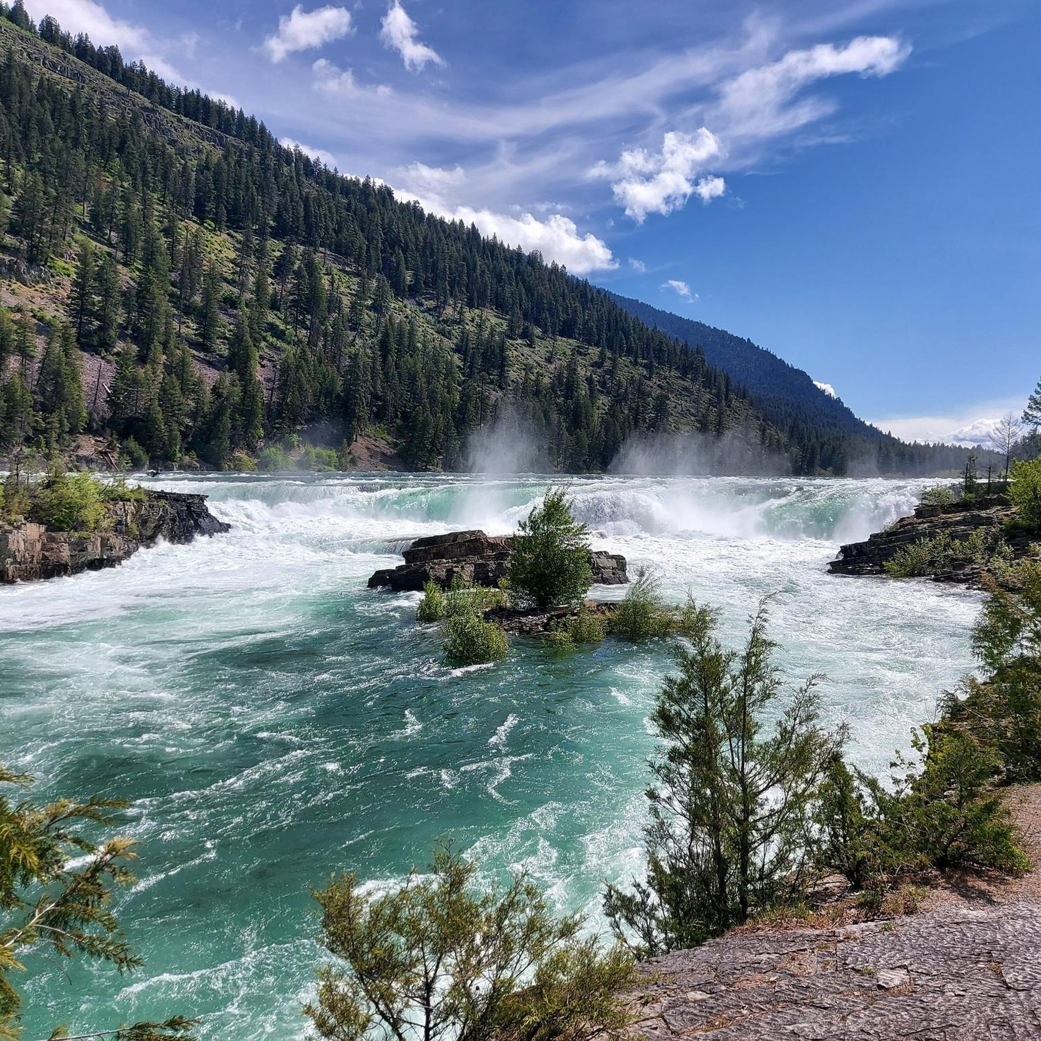
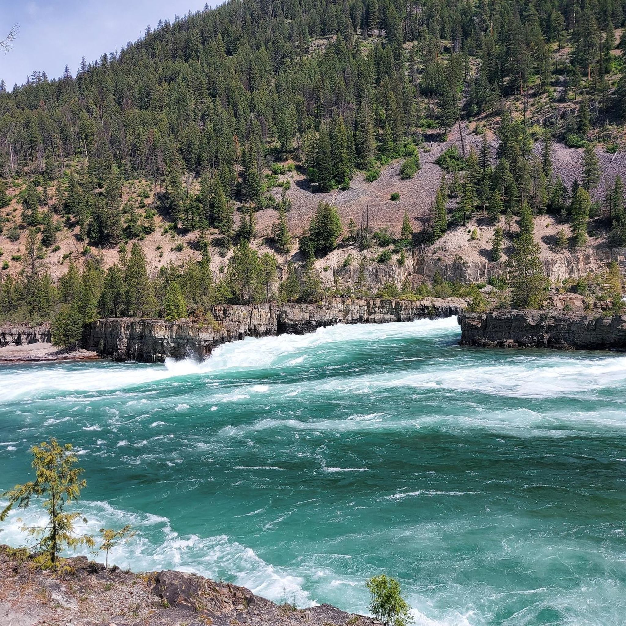
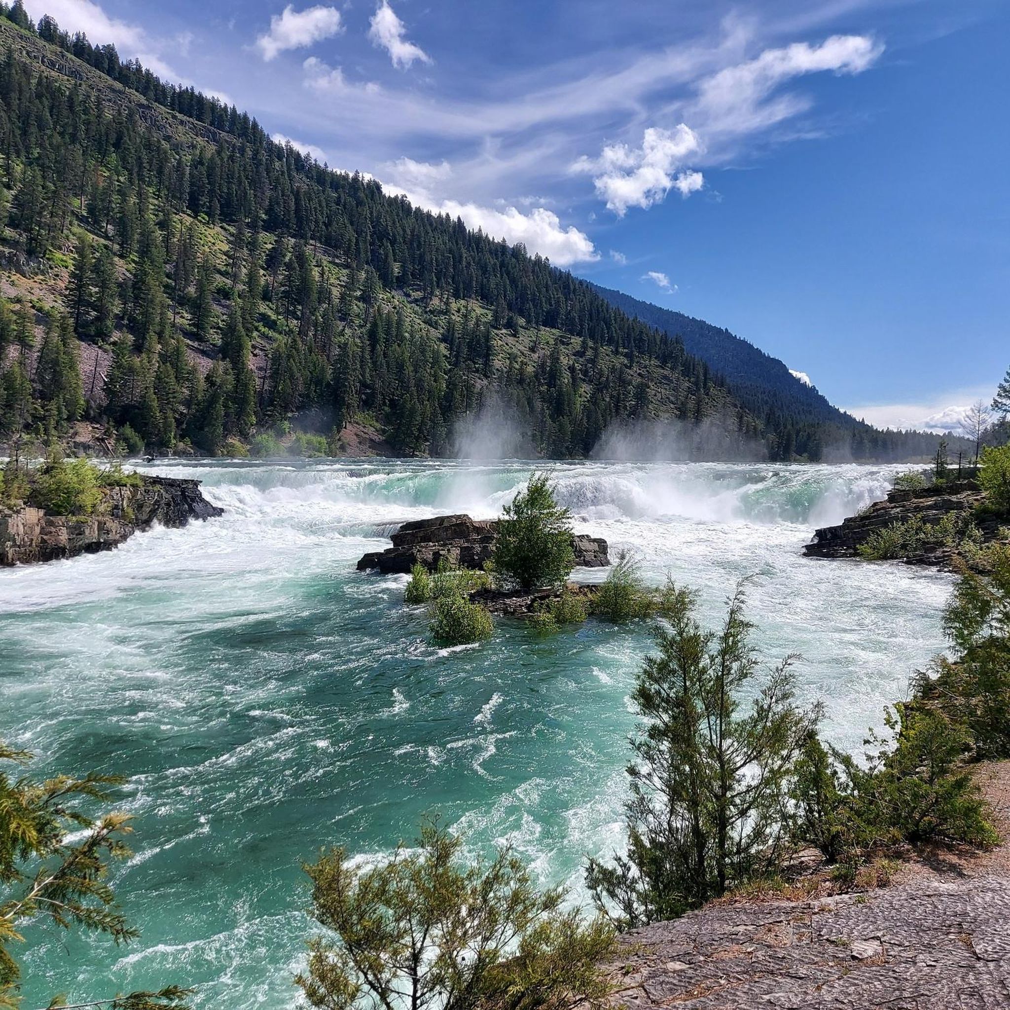
The Purcell Mountains are rich in natural beauty. Along your rides, you might encounter spectacular, rugged mountain landscapes, expansive alpine meadows, glaciated mountains, and pristine alpine lakes. Specific highlights include the dramatic Canyon Creek Gorge, the serene Cedar Lake Picnic Area, and the impressive Lower Bugaboo Falls. You could also pass through the unique Inland Temperate Rainforest on the western slopes.
Are there any loop routes for road cycling in the Purcell Mountains?
Yes, the Purcell Mountains offer several excellent loop routes. A prominent example is the challenging Koocanusa Lake loop, which is 87 miles (140 km) long and features significant elevation gain alongside stunning lake views. Other loops originate from towns such as Cranbrook and Creston, like the Roadbike loop from Cranbrook.
Where can I find parking for road cycling routes in the Purcell Mountains?
Parking availability varies by route. Many loops originating from regional towns like Marysville, Creston, or Cranbrook will have designated parking areas within or near the town centers. For specific routes like the Koocanusa Lake loop, you'll typically find parking at access points along the route or near trailheads. Always check route descriptions for recommended parking locations.
What amenities are available in towns near road cycling routes?
Towns surrounding the Purcell Mountains, such as Nelson, Fernie, Golden, Cranbrook, and Creston, offer various amenities for cyclists. These can include cafes, pubs, restaurants, and accommodation options. Some towns may also have bike shops for repairs or supplies. It's advisable to plan your route to pass through these towns for rest stops and refreshments.
Can I spot wildlife while road cycling in the Purcell Mountains?
Yes, the diverse ecosystems of the Purcell Mountains support a rich variety of wildlife. Cyclists often have opportunities for wildlife viewing, including eagles, grizzly bears, hummingbirds, deer, and elk. Remember to maintain a safe distance and never approach wild animals, especially bears.
What do other road cyclists say about the routes in the Purcell Mountains?
The road cycling routes in the Purcell Mountains are highly rated by the komoot community, with an average score of 5.0 stars. Cyclists frequently praise the challenging topography, the breathtaking panoramic views, and the immersive experience of riding through rugged mountain wilderness.
Are there any routes with views of Kootenay Lake?
Yes, the Purcell Mountains region offers routes with spectacular views of Kootenay Lake. The View of Kootenay Lake loop from Creston is a popular 56.6-mile (91.0 km) trail that leads through areas with stunning lake vistas. The twisting roads along the Kootenay Lake shoreline are renowned for their scenic beauty and rolling terrain.
Are there any particularly challenging road cycling routes?
For experienced cyclists seeking a challenge, the Purcell Mountains deliver. The Koocanusa Lake loop is classified as difficult, spanning 87 miles (140 km) with significant elevation gain. Cyclists should be prepared for varied surfaces, including potential unpaved segments, and demanding gradients on many of the longer routes.
Most popular routes in the Purcell Mountains
Most popular attractions in the Purcell Mountains

Get inspired with the komoot mobile app


Explore more
Browse the best Road cycling routes in other regions.
