The best walks and hikes around Castello Di Cisterna
4.3
(547)
4,747
hikers
58
hikes
Hiking around Castello Di Cisterna offers access to diverse landscapes, primarily defined by its proximity to Mount Vesuvius and the Vesuvius National Park. The region features volcanic terrain, ancient lava flows, and varied vegetation, including forests and clearings. While Castello di Cisterna itself is situated on a plain, its location serves as a gateway to more rugged natural features and significant elevation changes in the surrounding area. This allows for a range of outdoor activities, from gentle walks to more challenging ascents.
Best hiking trails around Castello Di Cisterna
- The most popular hiking route is The great cone of Vesuvio – loop tour, a 4.5 miles (7.2 km) trail that takes 2 hours 23 minutes to complete, offering views of the iconic volcano.
- Another top favourite among local hikers is Trail 2: Along the Cognoli, a moderate 7.5 miles (12.1 km) path. This route traverses varied terrain, providing expansive vistas of the Vesuvius landscape.
- Local hikers also love the Crater of Mount Vesuvius – Mount Vesuvius Crater loop from Vesuvius National Park, a 2.2 miles (3.5 km) trail leading through the Vesuvius National Park, often completed in about 1 hour 7 minutes.
- Hiking around Castello Di Cisterna is defined by volcanic landscapes, forested slopes, and panoramic viewpoints. The network offers options for easy, moderate, and difficult routes, catering to various experience levels.
- The routes in Castello Di Cisterna are highly rated by the komoot community with an average score of 4.2 stars from over 700 reviews. More than 9,000 hikers have used komoot to explore Castello Di Cisterna's varied terrain.
Last updated: June 24, 2026
4.6
(34)
218
hikers
7.24km
02:23
310m
310m
Hike the Gran Cono path for a moderate adventure up Mount Vesuvius, covering 4.5 miles (7.2 km) with an elevation gain of 1020 feet (311 metres). This loop tour typically takes about 2 hours and 23 minutes to complete. The trail starts through broom plantations before becoming earthy and gravelly, marked by ash and lava flows from the 1944 eruption. As you ascend, enjoy panoramic hairpin bends and increasingly expansive views of Mount Somma and the stunning Gulf of Naples. At the summit, you can observe the elliptical crater, 580 meters in diameter, with small fumaroles releasing hot gas, a clear sign of Vesuvius's active nature. The landscape around the crater often feels almost lunar.
To prepare for this hike, make sure you wear closed hiking shoes or sport shoes, as the surfaces can be rocky, uneven, and sometimes slippery. The trail begins at an altitude of 1,000 meters in Ercolano. While the route is described as a loop, the main path to the crater rim is generally an out-and-back, with sections along the crater's edge. Some parts of the crater might not be fully accessible due to safety or environmental protection measures.
What makes this trail truly special is the unique experience of walking along the crater of one of the world's most famous active volcanoes. The historical significance, particularly its catastrophic eruption in 79 AD, adds a powerful dimension to your journey. From the summit, you will be rewarded with spectacular panoramic views encompassing the Bay of Naples, distant islands, and the surrounding plains. Observing the active fumaroles provides a tangible connection to the volcano's ongoing geological activity.
4.6
(41)
141
hikers
12.1km
04:20
570m
570m
Hike Trail 2: Along the Cognoli in Vesuvius National Park for panoramic views, diverse terrain, and unique lava formations.

Sign up for free
4.3
(4)
18
hikers
16.0km
05:02
610m
600m
Hike a difficult 10.0-mile loop from Colle Umberto to the Vesuvius crater, offering panoramic views and volcanic landscapes.
4.6
(23)
86
hikers
18.6km
06:36
870m
870m
Hard hike. Very good fitness required. Mostly accessible paths. Sure-footedness required.
4.6
(28)
718
hikers
Easy hike. Great for any fitness level. Easily-accessible paths. Suitable for all skill levels.
Get access to more routes and recommendations from other explorers.
Sign up for free
Already have an account?
Our route recommendations are based on thousands of hikes, rides, and runs completed by other people on komoot.
Start today with a free account
Your next adventure awaits.
Login or Signup



Tips from the Community

The scratch here is already very big.
2
0

We will then cross fantastic scenery across the entire Piana Campana and reach the panoramic terrace where the most beautiful “rope” lava formation of Vesuvius is located, engraved by a deep fracture in which numerous species of fern live and inside which it is possible to enter as if we were in the bowels of the Earth! The path then continues along the Cognoli di Lavante of Monte Somma: a beautiful panoramic climb on one of the most scenic routes of the entire Park!
0
0
The very panoramic itinerary allows you to enjoy the most suggestive and wild scenery of Somma-Vesuvius, crossing forest environments, scrubland up to bare lava rock. The starting point is located along the road that from the Medici Palace of Ottaviano continues towards the volcanic complex. A barrier prohibiting vehicular traffic marks the beginning of the route, the first stretch of the path, common with path no. 1, winds along asphalted hairpin bends, and then turns into a dirt path. The plant landscape consists initially of a thick pine forest of stone pine and then in a mesophilous forest, with essences such as chestnut, Neapolitan alder, Neapolitan maple, holm oak, black locust. Among the nesting birds, the minute lesser spotted woodpecker, rare and localized in Campania, has only recently colonized the Vesuvius Park. After more than 1 km of walking on a steep climb you reach Largo Angelo Prisco dedicated to the young financier murdered by poachers in 1995 which represents the closest destination. From the Largo, path no. 1 branches off to the left, while the itinerary continues on the right on a slight climb, entering, between twists and turns, into a shady chestnut grove where the numerous species of mushrooms present give off an intense and pleasant fragrance.
0
0

Bad internet on the printed version of the ticket. If the booked time slot doesn't fit, you'll be sent away
0
0

Vesuvius offers a breathtaking view and is worth the trip. But be careful: the trip should be planned well in advance (online tickets).
0
0
Vesuvius offers a breathtaking view and is worth the trip. But be careful: the trip should be planned well in advance (online tickets).
1
0

Buy your Vesuvius pass before, there is no connection at the top
2
0
Frequently Asked Questions
How many hiking trails are available around Castello Di Cisterna?
There are over 50 hiking routes around Castello Di Cisterna, offering a wide range of experiences. These trails are primarily located within the Vesuvius National Park and surrounding areas, providing diverse landscapes from volcanic terrain to forested slopes.
Are there easy hiking options suitable for beginners or families?
Yes, there are 13 easy hiking routes around Castello Di Cisterna. These trails are generally shorter and have less elevation gain, making them perfect for a relaxed outing. An example is the Crater of Mount Vesuvius – Mount Vesuvius Crater loop from Vesuvius National Park, which is about 2.2 miles (3.5 km) long and takes just over an hour to complete.
What kind of landscapes can I expect to see on hikes near Castello Di Cisterna?
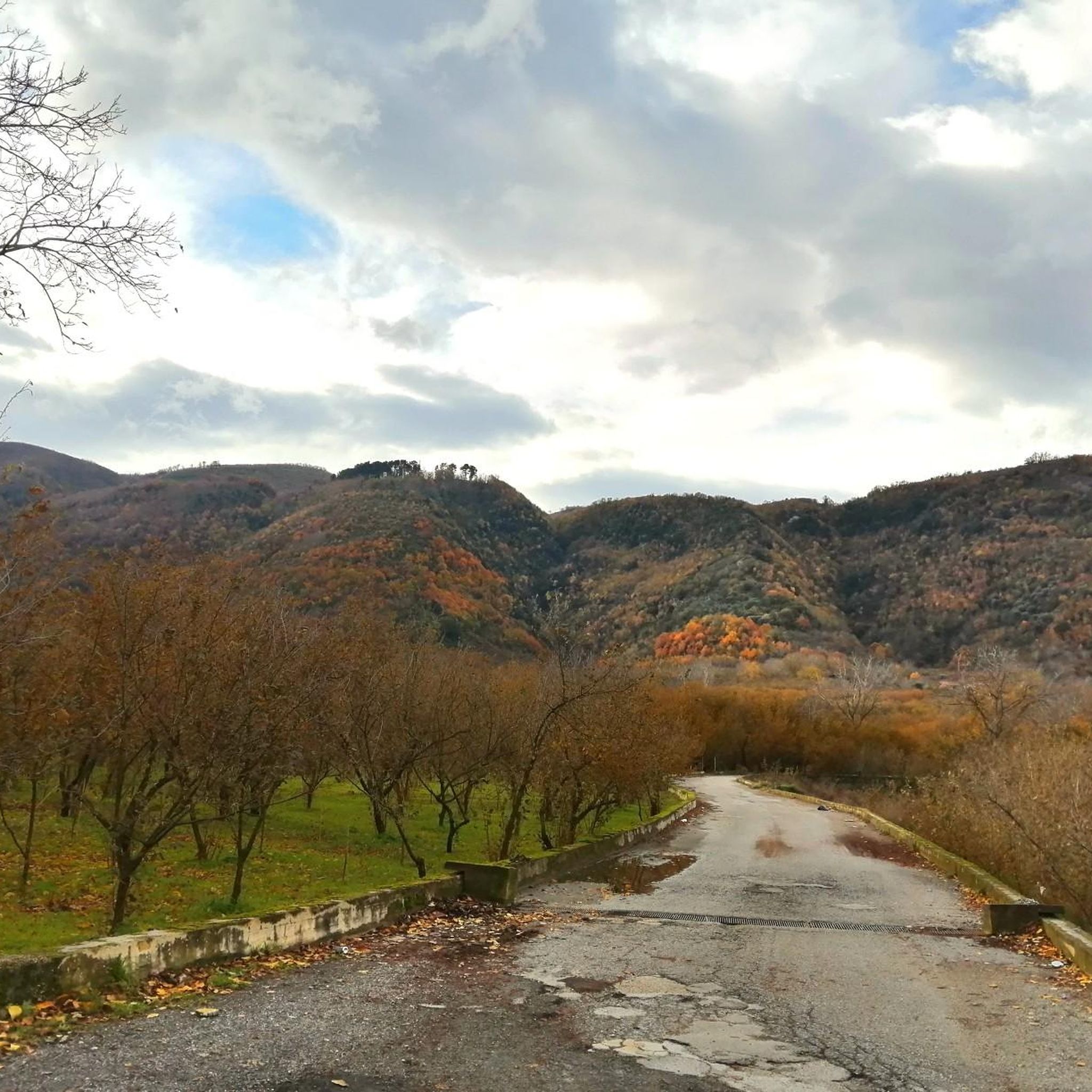
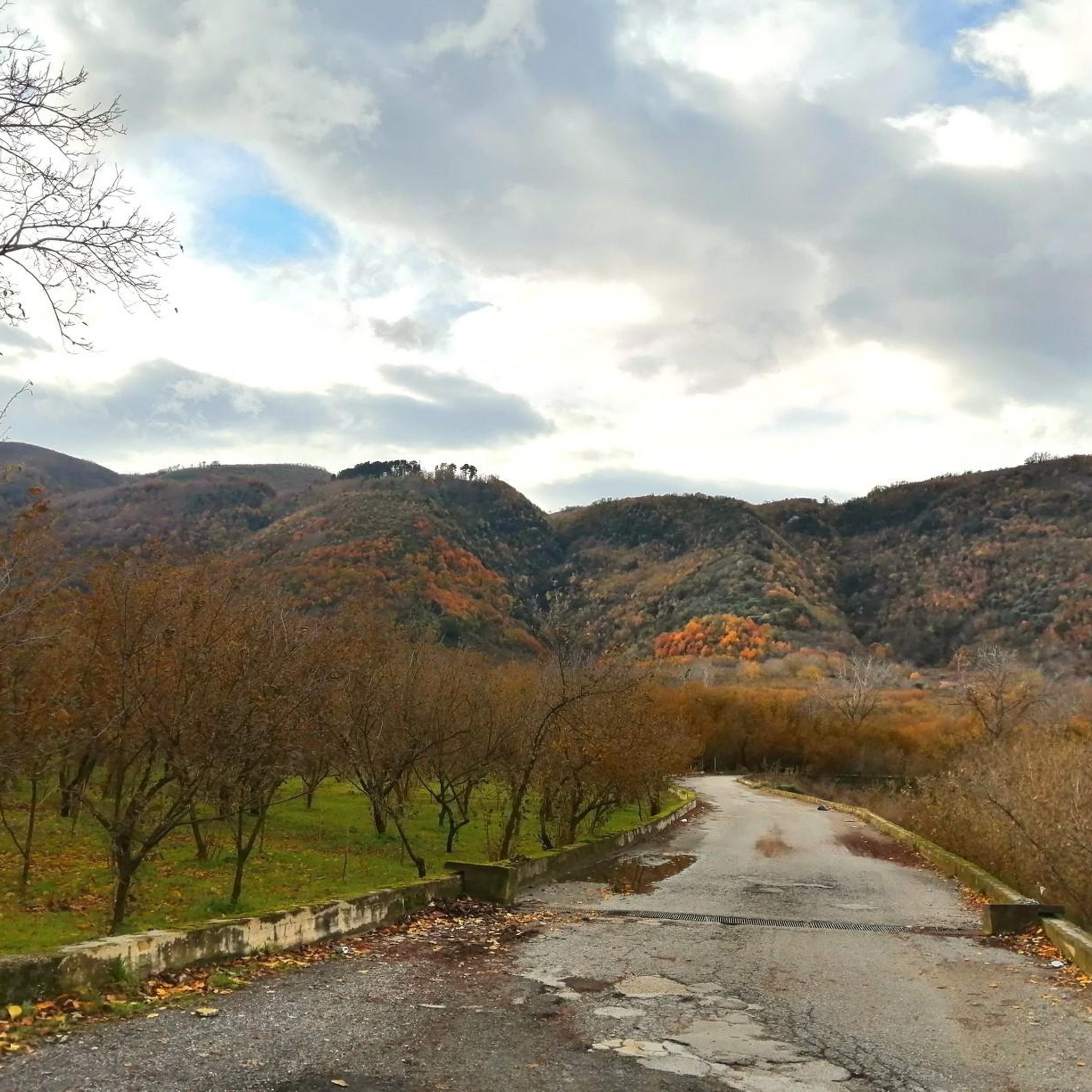
The hiking landscapes around Castello Di Cisterna are largely defined by the majestic Mount Vesuvius and its National Park. You can expect to traverse volcanic terrain, ancient lava flows, and diverse vegetation including forests and clearings. Panoramic views of the Gulf of Naples are a common reward on many trails.
Are there any circular hiking routes?
Yes, several circular routes are available, allowing you to start and end your hike at the same point. A notable option is The great cone of Vesuvio – loop tour, which is a moderate 4.5-mile (7.2 km) trail offering iconic views of the volcano.
What are some interesting natural attractions or viewpoints along the trails?
The region boasts several remarkable natural attractions. You can explore the iconic Crater of Mount Vesuvius itself, or discover the Cognoli Summit and Valle dell'Inferno for expansive vistas. Beyond Vesuvius, Grassano Park offers a natural oasis with lush flora and remnants of Roman buildings.
Is parking available at the trailheads for Vesuvius National Park?
Yes, for trails within Vesuvius National Park, designated parking areas are typically available near the main access points. It's advisable to check specific trail information or park websites for details on parking availability and any potential fees, especially during peak season.
What do other hikers enjoy most about hiking in Castello Di Cisterna?
The hiking routes around Castello Di Cisterna are highly rated by the komoot community, with an average score of 4.2 stars from over 700 reviews. Hikers frequently praise the unique volcanic landscapes, the breathtaking panoramic views from Vesuvius, and the variety of trails catering to different skill levels.
Are the hiking trails around Castello Di Cisterna suitable for dogs?
Many trails in the Vesuvius National Park area are generally dog-friendly, provided dogs are kept on a leash. However, specific regulations can vary, especially near sensitive natural areas or protected wildlife zones. Always check local signage or park guidelines before heading out with your dog.
Are there any challenging hikes for experienced trekkers?
Absolutely. For experienced trekkers, there are 27 difficult routes available. These often involve significant elevation changes and longer distances. An example is the Vesuvius Grand Cone and Tirone Reserve Loop, a challenging 10-mile (16 km) trail with substantial ascent.
Can I reach the hiking areas by public transport from Castello Di Cisterna?
While Castello Di Cisterna itself is a historic center, its proximity to Vesuvius National Park means that public transport options, such as buses or trains, can connect you to towns near the park's entrances. From there, local shuttles or taxis might be needed to reach specific trailheads. Planning your journey in advance is recommended.
What is the best time of year to go hiking in this region?
The spring (April-June) and autumn (September-October) months are generally considered the best times for hiking around Castello Di Cisterna. The weather is milder, and the landscapes are vibrant. Summer can be very hot, especially on exposed volcanic trails, while winter can bring cooler temperatures and occasional rain, though hiking is still possible.
Are there any other natural parks or reserves nearby besides Vesuvius National Park?
Yes, in addition to Vesuvius National Park, you can explore other natural areas. Grassano Park, located a few kilometers from Naples, offers rocky paths and a lush environment. The Cratere degli Astroni Nature Reserve is another nearby option for nature exploration.
Most popular routes around Castello Di Cisterna
Most popular attractions around Castello Di Cisterna

Get inspired with the komoot mobile app


Explore more
Browse the best Hikes in other regions.
