The best walks and hikes around Palagiano
4.4
(98)
248
hikers
46
hikes
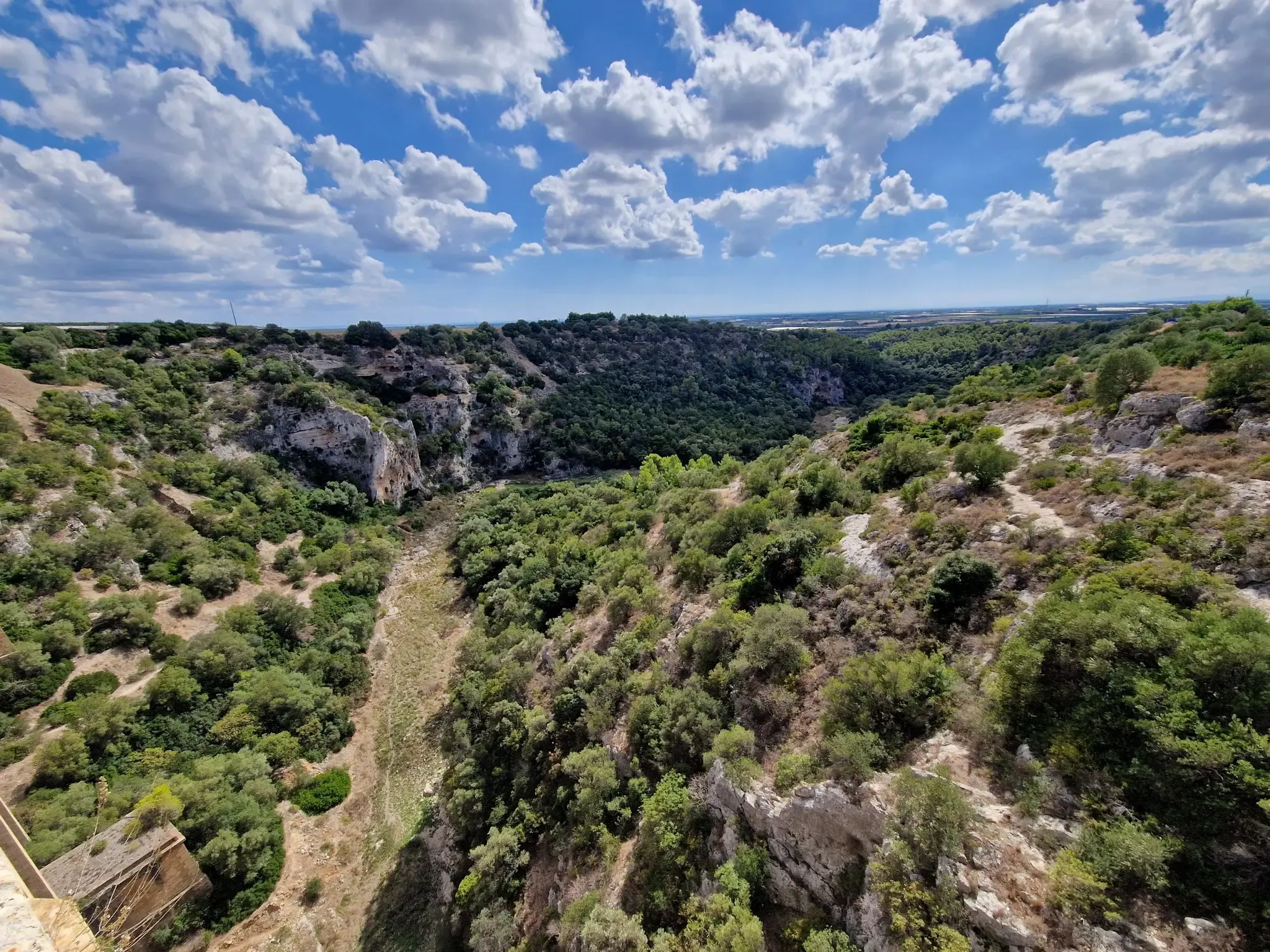
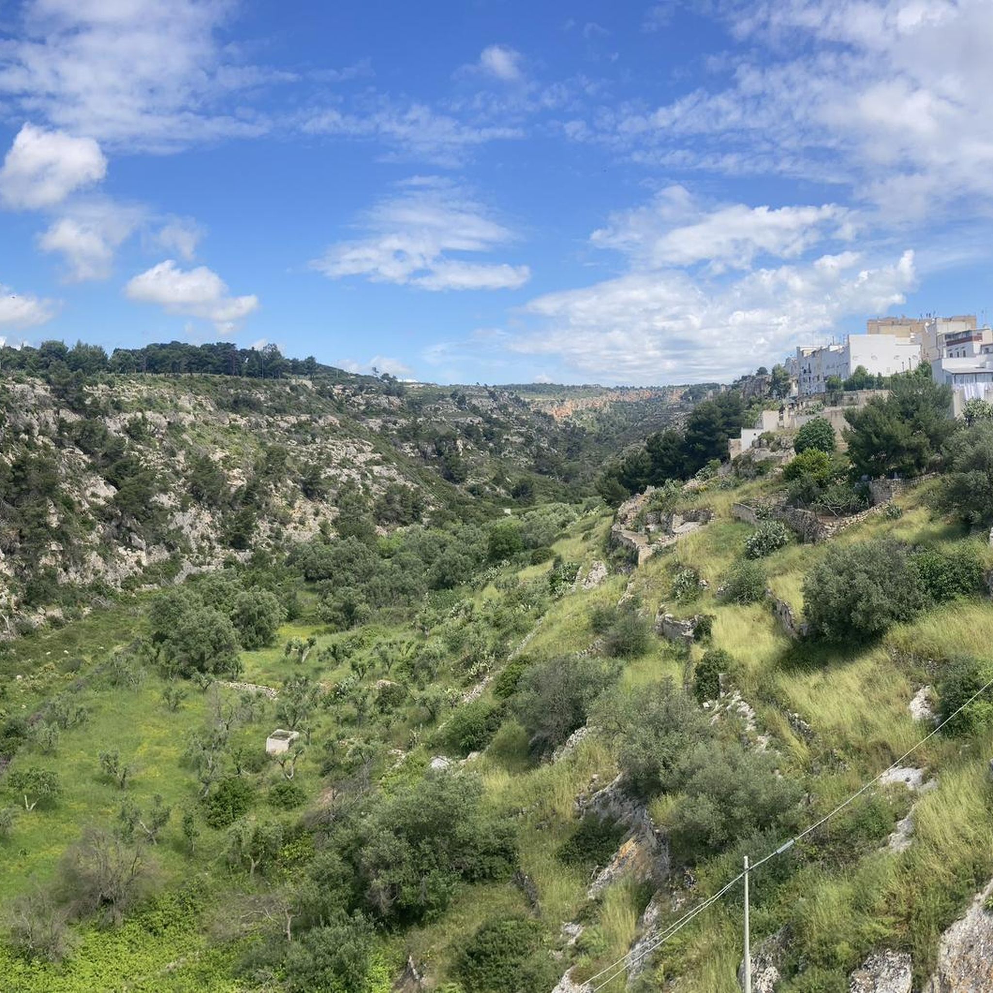
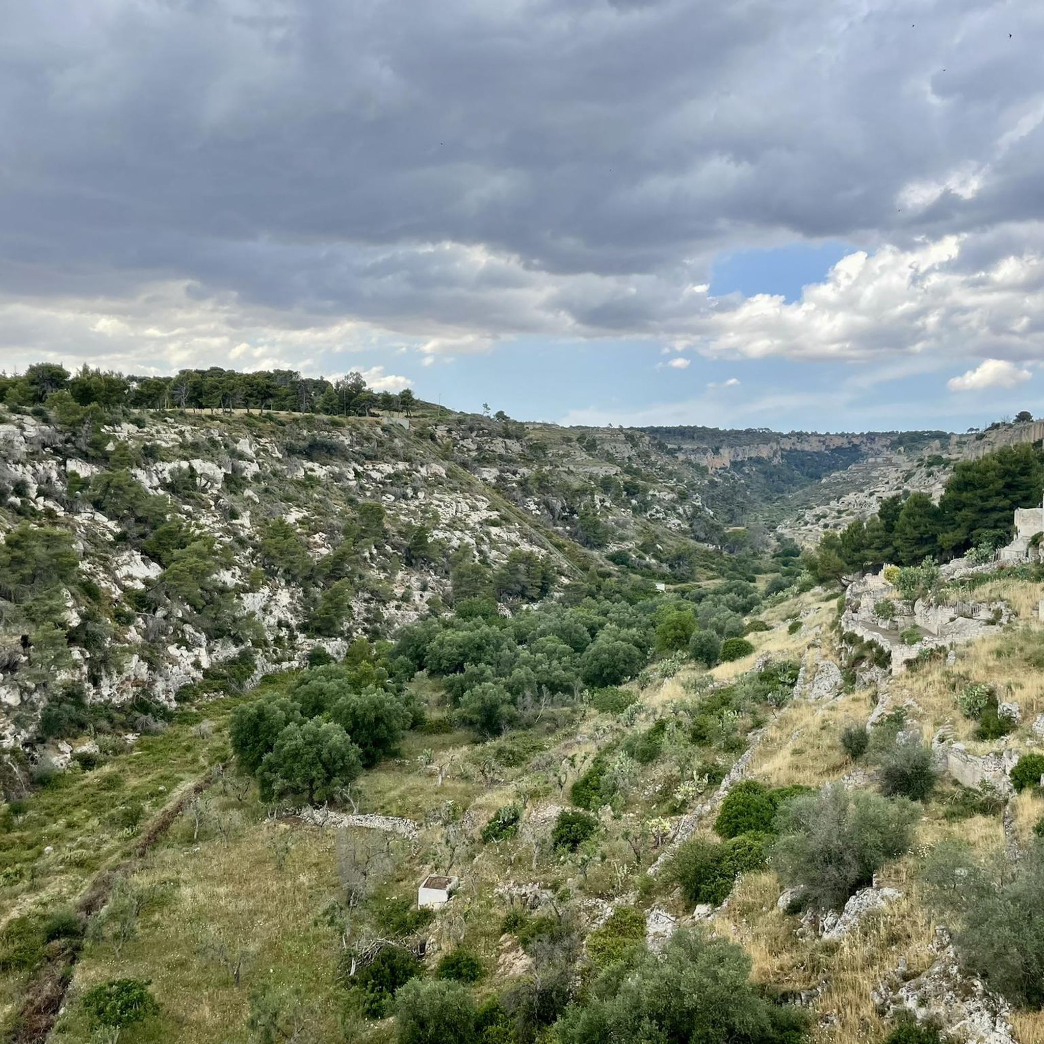
Hiking trails around Palagiano traverse a diverse landscape in the western part of Taranto province, Apulia. The region is characterized by dramatic "gravine," which are large, karst-origin ravines carved into calcareous rock, some reaching depths of up to 200 meters. These geological formations create rugged terrain, complemented by Mediterranean scrub and ancient Aleppo pine forests. The area also offers coastal views and hilly sections of the eastern Murge, providing varied environments for outdoor exploration.
Best hiking trails around Palagiano
- The…
Last updated: October 11, 2026
4.5
(15)
50
hikers
24.2km
06:41
410m
410m
Hard hike. Very good fitness required. Easily-accessible paths. Suitable for all skill levels.
4.5
(2)
7
hikers
Moderate hike. Good fitness required. Easily-accessible paths. Suitable for all skill levels.

4.7
(3)
11
hikers
5.84km
01:40
130m
130m
Easy hike. Great for any fitness level. Easily-accessible paths. Suitable for all skill levels.
4.0
(1)
6
hikers
6.07km
01:36
60m
60m
Easy hike. Great for any fitness level. Easily-accessible paths. Suitable for all skill levels.
4.0
(8)
9
hikers
5.59km
01:31
70m
80m
Easy hike. Great for any fitness level. Easily-accessible paths. Suitable for all skill levels.
Get access to more routes and recommendations from other explorers.
Already have an account?
Our route recommendations are based on thousands of hikes, rides, and runs completed by other people on komoot.
Start today with a free account
Your next adventure awaits.

Other adventures around Palagiano

Tips from the Community

Situated at the top of a hill to the north west of Taranto and Massafra is the town of Mottola, often referred to as the 'Ionian Spy' due to its geographical position. At 1270ft above sea level it is visible for miles around. Ancient remains were discovered in the area at the turn of the 20th Century, indicating significant Bronze Age settlement on the site of the current town. The altitude of the old town's narrow winding streets means that spectacular views of the Gulf of Taranto appear through gaps in the buildings. The centre of the old town is home to several churches, including the 12th Century Chiesa Matrice, as well as partial remains of 600 BC Greek walls.
0
0
The Church of Sant'Angelo, the only rock church of Italy to be arranged on two floors.
0
0
The castle stands on the highest point of the town, in a strategic position to control the surrounding territory. From its summit you can observe the territory at 360 degrees up to the mountains of Sila (Calabria). There is a relationship of continuity between the houses dug into the ravine and the castle, whose construction probably began in the first half of the 16th century by the Domini Roberti family for the defense of the hamlet of Palagianello , finished, but not completely, in the 18th century under the rule of the Caracciolo. The castle, which has a massive quadrangular plan with a large central courtyard , equipped with four towers at the external corners, has all the defensive structural characteristics of the 16th century fortresses . The current entrance to the castle is located on the south side, while originally it was located to the west and was accessed via a drawbridge located over a moat, still existing today, which runs along the entire west side and part of the north side. The drawbridge has been replaced by a brick bridge with two arches. On the lower floor there are the warehouses and stables while on the upper floor there are the rooms that were used as the feudal lord's residence; in correspondence with the entrance , at the end of the staircase that leads to the upper floor there is a large hall for representative meetings with a vaulted ceiling, supported by apse arches, on which the family coat of arms is frescoed. In a room on the ground floor there is a trap door that leads to a secret passage that flows into the ravine of Palagianello. In 1874 the old entrance was closed to create a chapel in honor of the Virgin of the Seven Sorrows designed by the architect Gabriele Califano , commissioned by Count Antonio Stella Caracciolo . The Chapel was given in perpetual use by Count Caracciolo to the Confraternity of the Addolorata.
0
0
Entirely dug in tuff, the chapel entitled to the Madonna delle Grazie is the heart of the namesake sanctuary lying on the ravine in Palagianello.
0
0
Towards the end of the 5th century AD when the Roman Empire came under attack from the Goths and other Germanic tribes attacking Rome, the open plains were no longer safe. And it was then that people sought refuge in the relatively safer ravines. The soft, limestone bedrock made it easy to cut into the sides of the ravines to create places to live that were easier to protect against the Goths to begin with, but also the Saracens later. Over the turbulent centuries of the Middle Ages that followed the fall of the Western Roman Empire fully developed communities emerged in these ravines. These early Medieval troglodytes ‘built’ surprisingly complex villages simply by cutting into the rock at different levels. Besides creating domestic spaces – Casa Grotto (cave house), they also cut churches into the sides of the ravines. They also cut channels and cisterns into the rock to supply water.
0
0
Two railway bridges (one current, one now uses as bicycle/pedestrian path) parallel to each other over the Gravina di Santa Lucia/Gravina Grande.
0
0
The first documents about the rupestrian settlement of Pesco date back to 1236, but legend has it that the construction of the church took place as an ex voto by an English captain, led to safe shore by a mysterious light during a stormy night in the Ionian Sea. The search for the miraculous light bought the captain on the edge of the ravine, where in one of the caves of the rock settlement, with an entrance facing the sea, a votive lamp was lit in front of a painting of the Virgin with Child. Here he built the ship-shaped building and from that moment on, people began to call it "Our Lady of the Light". Other sources associate the name "Pesco" to "piscus" or rocky spur, and it is precisely in this position that the church still stands today. The church has a Romanesque facade with some Gothic elements. The rould-arched main portal has prothyrun and columns decorated with vegetal, animal and fantastic motifs. The rose window ist flanked by two lions in profile on asymmetrical frames. In the left side of the nave, the portal leads to a small courtyard and to the rupestrian settlement (about 300m from the church).
0
0

functioning AQP fountain, near the Carmine church
1
0
Frequently Asked Questions
How many hiking trails are available around Palagiano?
There are over 40 hiking trails around Palagiano, offering a variety of options for different skill levels and preferences. The komoot community has explored these routes over 170 times, providing an average rating of 4.3 stars.
What kind of landscapes can I expect to see while hiking near Palagiano?
Hiking near Palagiano offers a diverse range of landscapes. You'll encounter dramatic 'gravine' – large, karst-origin ravines carved into calcareous rock, some up to 200 meters deep. The area also features Mediterranean scrub, ancient Aleppo pine forests, and coastal views near the Ionian Sea. Hilly sections of the eastern Murge provide additional varied environments.
What are the difficulty levels of hiking trails in the Palagiano area?
The hiking trails around Palagiano cater to various fitness levels. You'll find a good mix of easy and moderate routes. There are 22 easy trails and 21 moderate trails, ensuring options for both casual walkers and those seeking a bit more challenge.
Are there any notable landmarks or natural features to see along the hiking trails?
Yes, the region is rich in natural and historical landmarks. You can explore the unique geological formations of the gravine, discover ancient rock-hewn villages and churches, and visit natural reserves. For example, the WWF Monte Sant'Elia Oasis is a beautiful hilly area overlooking a ravine and the Gulf of Taranto, and the Tara River offers scenic views.
Can I visit any historical sites or rock-hewn structures while hiking?
Absolutely. The gravine have been inhabited since prehistoric times, leading to numerous rock-hewn villages and ancient rock-cut churches integrated into the natural environment. Exploring these offers a unique blend of natural beauty and historical discovery. The Rock Church of San Nicola is one such example.
Are there family-friendly hiking trails suitable for children?
Yes, many of the 22 easy trails in the Palagiano area are suitable for families with children. These routes often feature less elevation gain and shorter distances, allowing for an enjoyable outdoor experience for all ages. A good option to consider is the Hiking loop from Massafra, which is an easy 3.8-mile (6.1 km) path.
Can I bring my dog on the hiking trails near Palagiano?
Many trails in the Palagiano area, especially within the natural parks, are generally dog-friendly. However, it's always recommended to keep your dog on a leash, especially in protected areas like the Parco Naturale Regionale Terra delle Gravine, to protect local wildlife and ensure the safety of other hikers. Always check specific trail regulations before you go.
When is the best time of year to go hiking around Palagiano?
The best time to hike around Palagiano is typically during the spring (April to June) and autumn (September to October) months. During these periods, the weather is milder and more pleasant for outdoor activities, avoiding the intense heat of summer and the cooler, potentially wetter conditions of winter. This allows for comfortable exploration of the gravine and coastal areas.
Are permits required for hiking in the Terra delle Gravine Regional Nature Park?
While general access to the Parco Naturale Regionale Terra delle Gravine is usually open, specific areas or guided tours might require permits or reservations, especially for accessing sensitive archaeological sites or rock-hewn structures. It's advisable to check with the park's official visitor center or local tourism office for the most current information regarding any required permits for your planned route.
Is parking available near the trailheads in Palagiano?
Parking availability varies by trailhead. In more developed areas or near popular starting points, you may find designated parking spaces. For trails leading into more remote sections of the gravine or natural reserves, parking might be less formal. It's recommended to research specific trailheads in advance or consult local information for the best parking options.
How can I reach the hiking trailheads using public transport?
Public transport options to reach specific trailheads around Palagiano can be limited, especially for routes deep within the Parco Naturale Regionale Terra delle Gravine. While Palagiano itself has some bus connections, reaching the exact starting points of many hiking trails might require a combination of public transport and a short taxi ride, or personal vehicle. It's best to check local bus schedules and routes for connections to nearby towns like Massafra or Palagianello, from which some trails might be accessible.
Are there any circular hiking routes available?
Yes, there are several circular hiking routes around Palagiano that allow you to start and end at the same point. An example is the WWF Monte Sant'Elia Oasis – View of Mottola loop from Oasi WWF Monte Sant'Elia, which is a moderate 5.1-mile (8.2 km) trail. Another option is the View of Gravina Santa Lucia – Steam Locomotive loop from Palagianello, a moderate 8.1-mile (13.1 km) route.
Most popular routes around Palagiano
Most popular attractions around Palagiano

Get inspired with the komoot mobile app


Explore more
Browse the best Hikes in other regions.
