The best road cycling routes around Monteparano
4.6
(71)
2,364
riders
144
rides
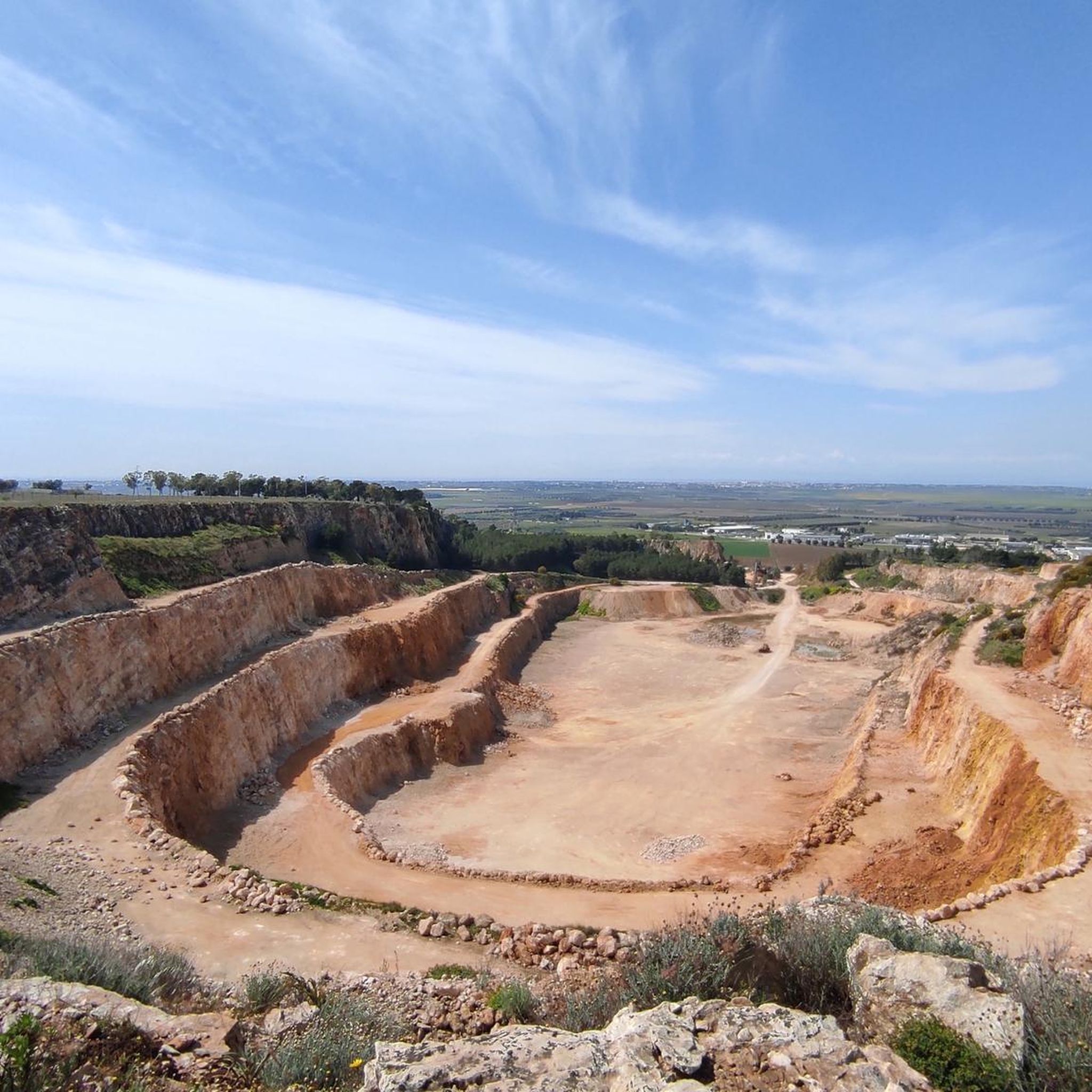
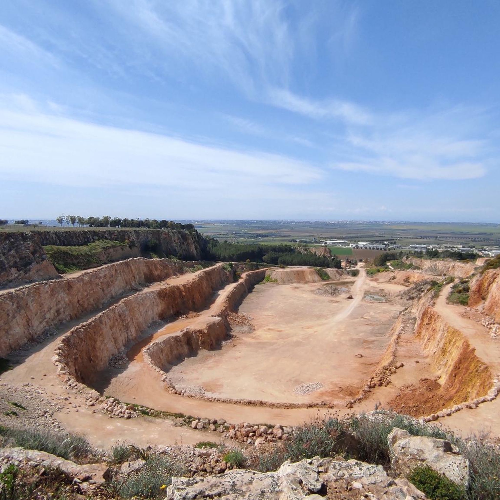
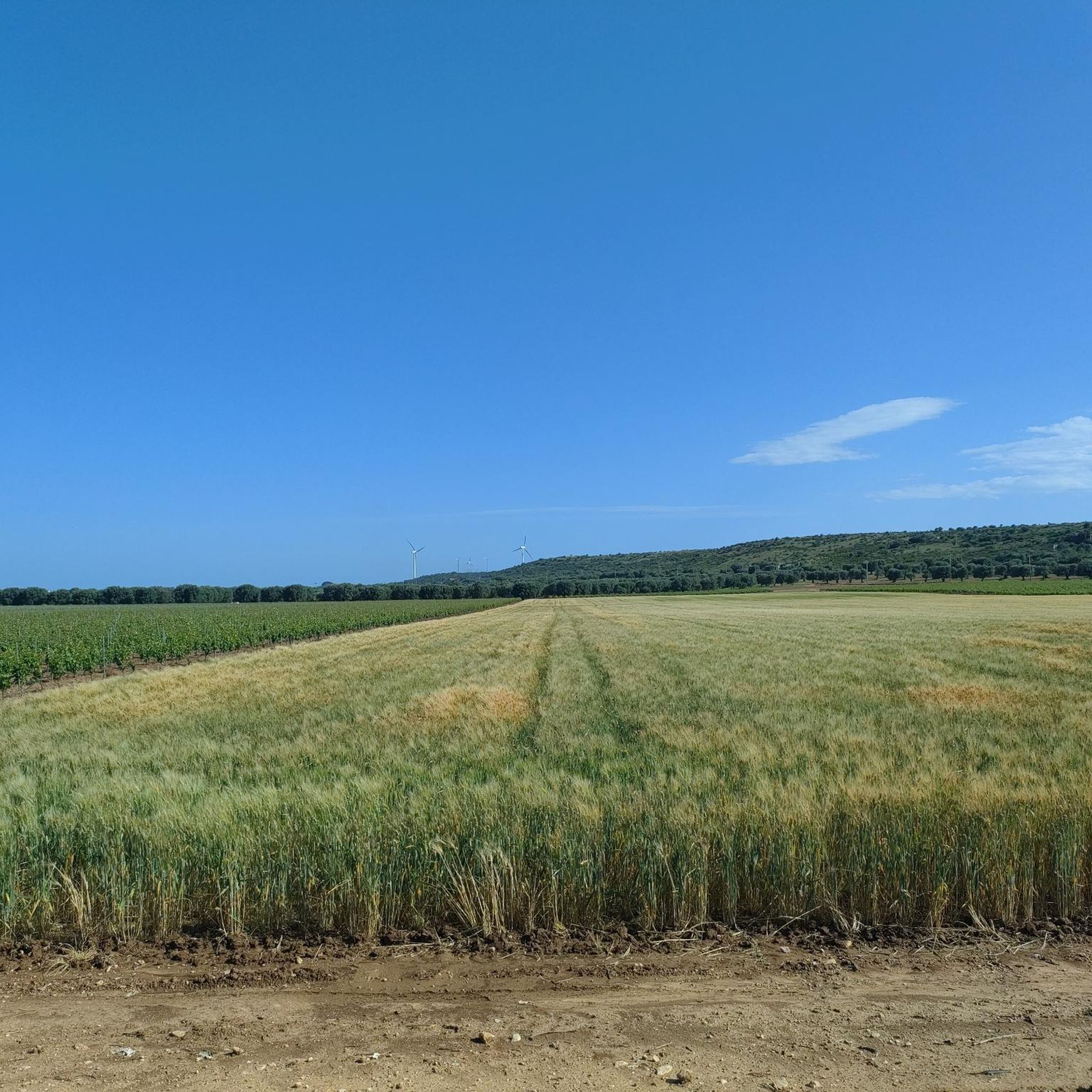
Road cycling around Monteparano features a landscape characterized by gentle hills and rural roads, offering varied terrain for cyclists. The region includes routes that pass through agricultural areas and connect small towns. Elevation gains are generally moderate, with some routes featuring climbs over 600 meters. The network of roads provides options for exploring the Salento region.
Best road cycling routes around Monteparano
- The most popular road cycling route is Marina di Pulsano – Muro di Roccaforzata loop from Carosino,…
Last updated: October 11, 2026
19
riders
64.4km
02:44
300m
300m
Moderate road ride. Good fitness required. Mostly well-paved surfaces and easy to ride.
5.0
(1)
19
riders
74.4km
03:20
620m
620m
Moderate road ride. Good fitness required. Mostly well-paved surfaces and easy to ride.

4.8
(5)
13
riders
51.3km
02:12
230m
230m
Moderate road ride. Good fitness required. Mostly well-paved surfaces and easy to ride.
10
riders
Easy road ride. Great for any fitness level. Mostly well-paved surfaces and easy to ride.
5.0
(2)
11
riders
Easy road ride. Great for any fitness level. Mostly well-paved surfaces and easy to ride.
Get access to more routes and recommendations from other explorers.
Already have an account?
Our route recommendations are based on thousands of hikes, rides, and runs completed by other people on komoot.
Start today with a free account
Your next adventure awaits.

Tips from the Community

beautiful road with not too much incline (around 2% to 7%)
0
0

The section with 10%, or possibly even more, comes long before the sign, when you ride through the village below. There is a proper ramp that really gets the pulse racing. Then you turn left onto the road and come to the section with the 10% sign. In this area, however, it is then only about 4-6% to the top. It is still a beautiful climb. One of the few in the region.
1
0

The Mother Church of Montemesola, dedicated to Santa Maria della Croce. The original building dates back to the 18th century but has undergone numerous and significant renovations in modern times.
0
0
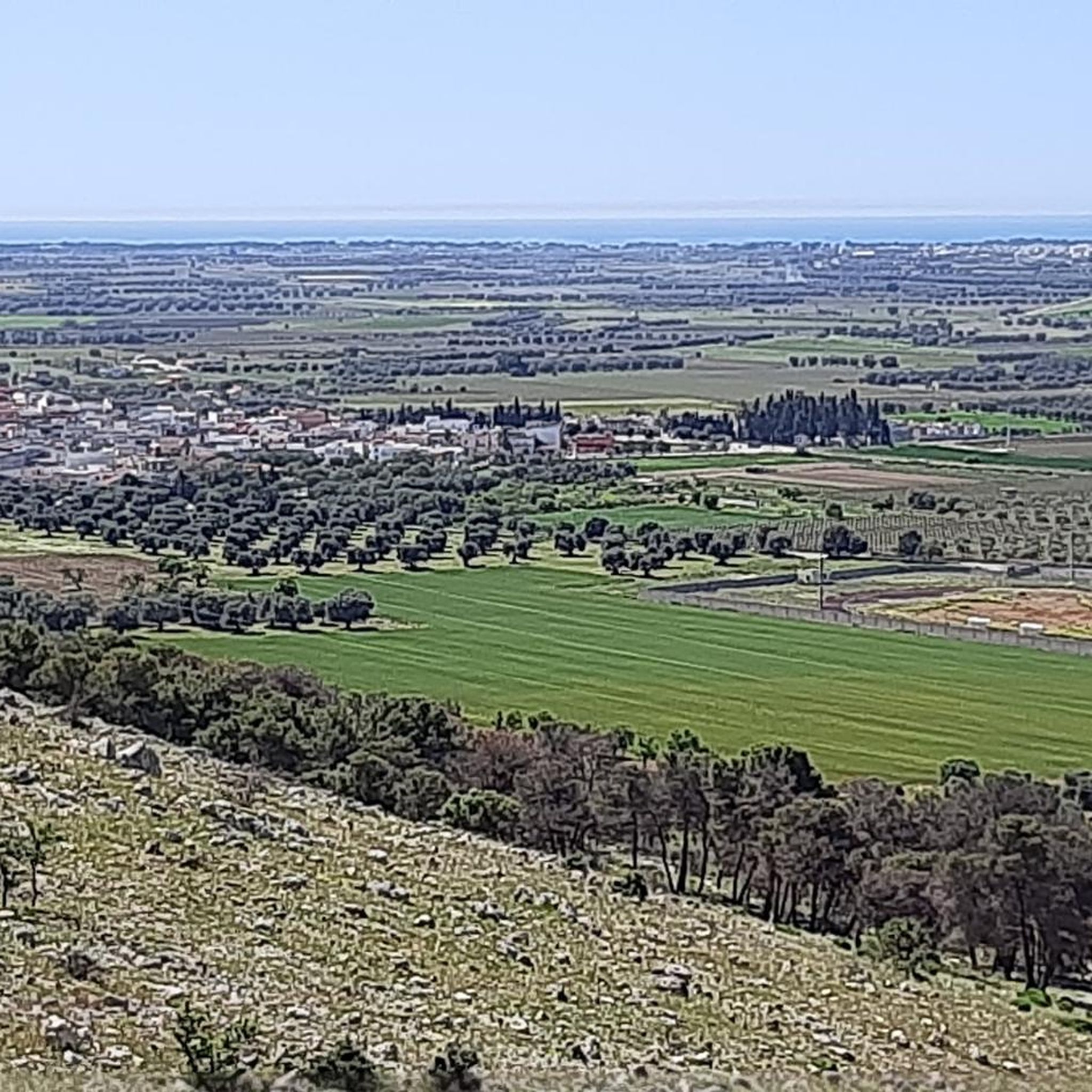
Fantastically beautiful views of the sea. The water here is very clean and crystal clear. It sparkles and glitters in the sun ☀️. A feast for the eyes 👍
0
0

The Sanctuary of the Madonna Mutata of Grottaglie stands on land where there was a church dating back to the 10th century, on the border between Martina Franca and Grottaglie. According to tradition, the current dedication to the Virgin Mutata is subsequent to the miracle that occurred in 1359. Inside the 10th century church there was an image depicting the Madonna, placed on the wall facing south, that is, in the direction of Martina Franca, which therefore claimed ownership. By miracle the image was found on the north wall, confirming once and for all that it belonged to the city of Grottaglie.
0
0

The "we got it" sign on that road. If you've passed by you'll have seen it. Isn't it 10%? You have to blame the municipal office. Maybe it was the only sign they had available
1
0
Frequently Asked Questions
How many road cycling routes are available around Monteparano?
There are over 120 road cycling routes around Monteparano documented on komoot, offering a wide variety of options for different skill levels and preferences.
Are there easy road cycling routes suitable for beginners in Monteparano?
Yes, Monteparano offers 29 easy road cycling routes. An example is the Muro di Roccaforzata – Mother Church of Faggiano loop from San Giorgio Ionico, which covers 40.7 miles with a moderate elevation gain, making it accessible for less experienced riders.
What are the most challenging road cycling routes or climbs in the Monteparano area?
For a more challenging ride, consider the Church of St. Mary of the Cross – Masseria Pilano loop from San Giorgio Ionico. This route features the highest elevation gain in the area, with over 600 meters of ascent over 45.7 miles, providing a demanding experience through rural landscapes.
What kind of terrain and scenery can I expect on road cycling routes in Monteparano?
Road cycling around Monteparano is characterized by gentle hills and rural roads, often passing through agricultural areas and connecting small towns. Some routes also include coastal sections, offering varied scenery from countryside to sea views. The region is part of the Salento area, known for its distinct landscapes.
Are there any scenic viewpoints or notable landmarks along the road cycling routes?
Yes, many routes offer scenic views and pass by interesting landmarks. You might encounter historical sites like Carosino Castle or the Muro di Roccaforzata. The region also features unique attractions such as the Grottaglie Ceramics District.
What is the best time of year for road biking in Monteparano?
The Salento region, including Monteparano, generally enjoys a mild Mediterranean climate. Spring (April-May) and autumn (September-October) are often considered ideal, offering pleasant temperatures and less crowded roads compared to the peak summer months, which can be quite hot.
Are there loop routes available for road cyclists in Monteparano?
Yes, many road cycling routes in Monteparano are designed as loops. For instance, the popular Marina di Pulsano – Muro di Roccaforzata loop from Carosino is a 40.5-mile circular trail that includes coastal sections and passes through local villages.
What do other road cyclists say about the routes in Monteparano?
The road cycling routes in Monteparano are highly rated by the komoot community, with an average score of 4.5 stars from over 40 reviews. More than 2,000 road cyclists have used komoot to explore the area, often praising the varied terrain and the blend of rural and coastal landscapes.
Are there any specific routes that pass through historical sites or cultural points of interest?
Certainly. The Carosino Castle – Mother Church of Faggiano loop from San Giorgio Ionico is a 31.9-mile trail that leads through historical sites and the surrounding countryside, offering a blend of cycling and cultural exploration.
What are the typical distances and elevation gains for road cycling routes in Monteparano?
Routes vary significantly. Easy routes like the Sanctuary of Madonna delle Grazie – Water!! loop from San Giorgio Ionico can be around 42.8 miles with about 150 meters of elevation gain. More challenging routes can extend to over 45 miles with more than 600 meters of ascent, providing options for all fitness levels.
Are there any coastal road cycling routes near Monteparano?
Yes, some routes incorporate coastal sections. The Marina di Pulsano – Muro di Roccaforzata loop from Carosino is a popular option that includes parts of the coastline, offering refreshing sea breezes and scenic views.
Most popular routes around Monteparano
Most popular attractions around Monteparano

Get inspired with the komoot mobile app


Explore more
Browse the best Road cycling routes in other regions.
