The best road cycling routes around Chiaromonte
4.2
(20)
418
riders
54
rides
Road cycling around Chiaromonte features a landscape characterized by rolling hills and valleys, with routes often traversing rural roads and passing through small villages. The region's terrain includes significant elevation changes, offering challenging climbs and descents for road cyclists. Many routes navigate through forested areas and along river valleys, providing varied scenery.
Best road cycling routes around Chiaromonte
- The most popular road cycling route is Colle dell'Impiso Loop from San Severino Lucano, a 41.8 miles (67.3 km) trail that…
Last updated: July 8, 2026
3.0
(2)
22
riders
67.3km
04:12
1,740m
1,740m
This difficult 41.8-mile road cycling loop from San Severino Lucano offers challenging climbs and stunning views in Pollino National Park.
11
riders
53.5km
02:42
880m
880m
Moderate road ride. Good fitness required. Some segments of this route may be unpaved and difficult to ride.

Sign up for free
5.0
(1)
12
riders
49.2km
02:25
770m
770m
Moderate road ride. Good fitness required. Mostly well-paved surfaces and easy to ride.
12
riders
89.1km
04:18
1,250m
1,250m
Hard road ride. Very good fitness required. Mostly well-paved surfaces and easy to ride.
3.0
(2)
21
riders
108km
06:48
2,720m
2,720m
Hard road ride. Very good fitness required. Some segments of this route may be unpaved and difficult to ride.
Get access to more routes and recommendations from other explorers.
Sign up for free
Already have an account?
Our route recommendations are based on thousands of hikes, rides, and runs completed by other people on komoot.
Start today with a free account
Your next adventure awaits.
Login or Signup
Tips from the Community

Right along the car road , easy to reach for any leve of fitness and enjoy a peaceful place
0
0

The name could derive from codda impisa, or steep, steep pass. Source: Davide of InfoPollino
1
0

Free refill, pump and tools for repairing faults. Free charging and self-repair station for bicycles and e-bikes.
0
0

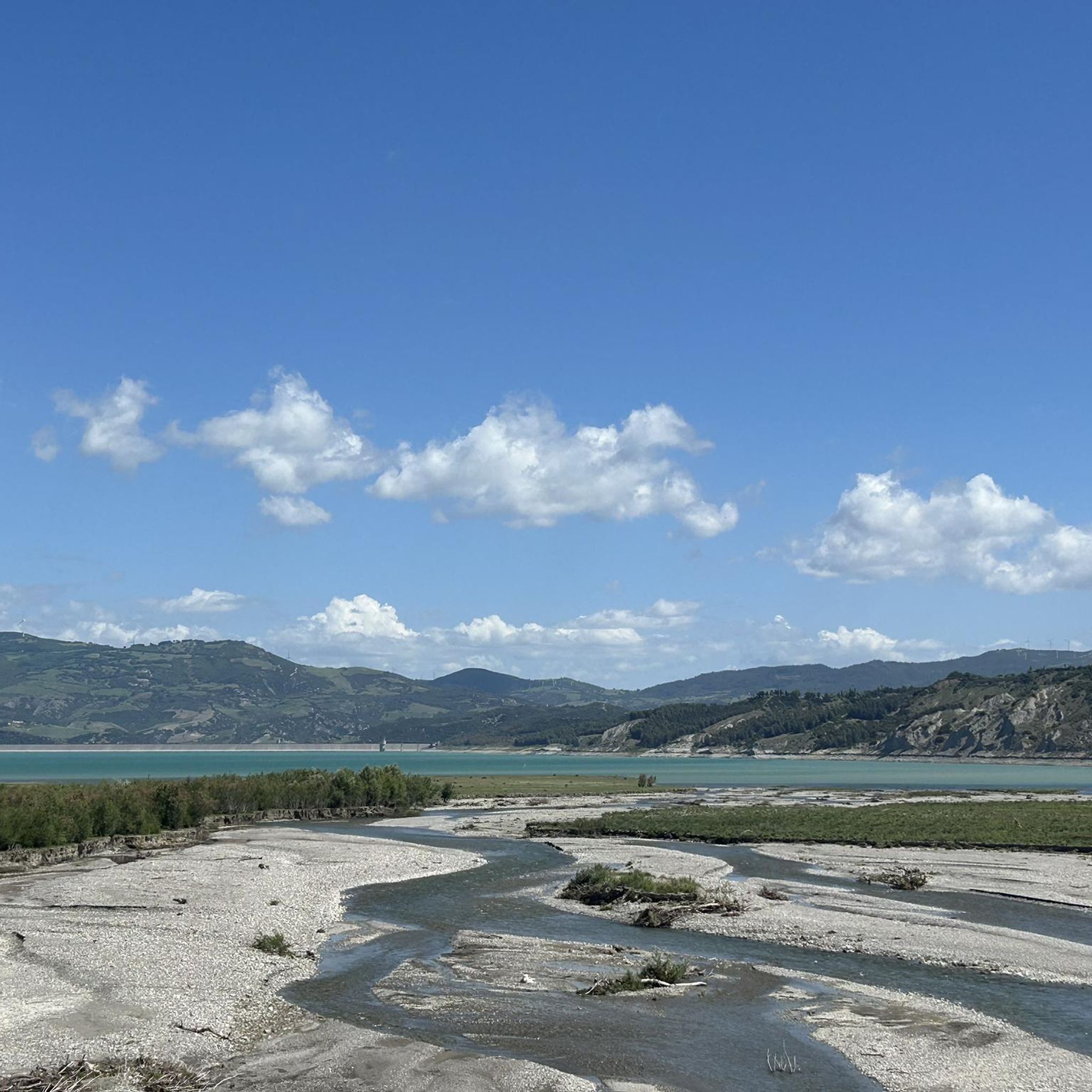
The Monte Cotugno dam was built between 1970 and 1982, is located in the territory of the municipality of Senise and is the largest clay dam in Europe.
0
0
Colle dell'Impiso is the starting point of numerous paths, mostly traveled by hikers on foot but which can also be followed by mountain bike lovers. A ride in the Pollino Park is an unforgettable experience.
1
0
This small waterfall is created by a leap from the Peschiera river. Here people gather to refresh themselves and spend some time immersed in nature.
0
0
The Impiso hill is a starting point for many itineraries in the Pollino National Park. A fabulous place immersed in the greenery of this beautiful land.
0
0

It is the largest national park in Italy and is located between Calabria and Basilicata. The headquarters of the park is located in the municipality of Rotonda (PZ)
2
0
Frequently Asked Questions
How many road cycling routes are available around Chiaromonte?
There are over 35 road cycling routes around Chiaromonte, offering a diverse range of experiences for cyclists of varying skill levels.
What kind of terrain can I expect on road cycling routes in Chiaromonte?
The region features a hilly landscape with rolling hills and valleys. You can expect significant elevation changes, including challenging climbs and descents, often traversing rural roads and passing through small villages and forested areas.
Are there road cycling routes suitable for beginners in Chiaromonte?
The road cycling routes around Chiaromonte are generally characterized by significant elevation changes, making most of them moderate to difficult. There are no routes specifically classified as "easy" in this area, so beginners should be prepared for challenging climbs and descents.
What are some challenging road cycling routes in Chiaromonte?
For experienced cyclists seeking a challenge, routes like the Colle dell'Impiso Loop from San Severino Lucano, spanning 41.8 miles (67.3 km) with substantial elevation gain, are highly recommended. Another demanding option is the Castelsaraceno village – Castronuovo di Sant'Andrea loop from Chiaromonte, which covers 86.6 km with significant climbing.
Are there any road cycling routes that pass by waterfalls in the Chiaromonte area?
Yes, you can find routes that include natural attractions. For instance, the Peschiera River Waterfall – Colle dell'Impiso loop from Bosco Magnano offers a scenic ride that passes by the beautiful Peschiera River Waterfall.
What is the best time of year to go road cycling in Chiaromonte?
Given the region's climate, spring (April to June) and autumn (September to October) are generally the most pleasant times for road cycling in Chiaromonte. Temperatures are milder, and the natural scenery is particularly vibrant, making for comfortable and scenic rides.
Are there any scenic viewpoints along the road cycling routes in Chiaromonte?
Many routes offer stunning vistas of the surrounding landscape. You might encounter viewpoints like Piano di Jannace, or enjoy panoramic views from higher elevations such as Monte Pollino Summit or Serra di Crispo, which are accessible from some routes or nearby areas.
What do other road cyclists enjoy most about cycling in Chiaromonte?
The road cycling routes in Chiaromonte are highly rated by the komoot community, with an average score of 4.5 stars. Reviewers often praise the challenging yet rewarding hilly terrain, the quiet rural roads, and the varied scenery that includes forested sections and charming villages.
Are there any loop routes for road cycling around Chiaromonte?
Yes, many of the road cycling routes in the Chiaromonte area are designed as loops, allowing you to start and finish in the same location. Examples include the Rotalupo – Castronuovo di Sant'Andrea loop from Senise and the Public Fountain loop from Senise.
What are some notable landmarks or attractions near the road cycling routes?
Beyond the natural beauty, you can find interesting landmarks such as the Statue of the Madonna del Pollino. Some routes also pass through or near charming villages, offering opportunities to explore local culture and architecture.
Are the road cycling routes in Chiaromonte suitable for families with children?
Due to the significant elevation changes and the classification of most routes as moderate to difficult, the road cycling routes around Chiaromonte are generally more suited for experienced adult cyclists. Families with young children might find these routes too challenging.
Can I find cafes or places to rest along the scenic road cycling routes?
While specific cafes are not always marked on every route, many routes pass through small villages where you can typically find local establishments to rest and refuel. Planning your stops in advance, especially on longer rides, is always a good idea.
Most popular attractions around Chiaromonte

Get inspired with the komoot mobile app


Explore more
Browse the best Road cycling routes in other regions.
