The best road cycling routes in Prato
4.3
(412)
14,112
riders
232
rides
Road cycling routes in Prato offer a varied landscape, from urban cycle paths and scenic river routes to challenging climbs through hills. The city itself is relatively flat, providing easy connections to diverse terrain. The region is characterized by the Bisenzio River valley, the Montalbano area with its vineyards and olive groves, and the Calvana hills. This blend of features provides a range of road cycling experiences.
Best road cycling routes in Prato
- The most popular road cycling route is…
Last updated: August 30, 2026
4.3
(24)
346
riders
48.3km
02:11
460m
460m
Embark on the Sun Route Trail: Prato to Vernio, a moderate racebike journey spanning 30.0 miles (48.3 km). You will climb 1515 feet (462 metres) over an estimated 2 hours…
5.0
(2)
99
riders
83.5km
03:58
1,050m
1,050m
Hard road ride. Very good fitness required. Mostly well-paved surfaces and easy to ride.

Sign up for free
5.0
(2)
118
riders
61.2km
03:12
1,000m
1,000m
Hard road ride. Very good fitness required. Mostly well-paved surfaces and easy to ride.
3.0
(2)
95
riders
24.8km
01:10
250m
250m
Easy road ride. Great for any fitness level. Mostly well-paved surfaces and easy to ride.
4.5
(4)
62
riders
89.3km
05:04
1,950m
1,950m
Hard road ride. Very good fitness required. Mostly well-paved surfaces and easy to ride.
25
riders
79.6km
03:26
550m
550m
This moderate 49.5-mile road cycling loop from Prato to Pistoia via Passo del Pinone offers Tuscan landscapes and panoramic views.
33
riders
29.7km
01:46
650m
650m
Embark on the Passo della Collina and Migliana Loop, a moderate racebike route that covers 18.5 miles (29.7 km) with a challenging 2123 feet (647 metres) of elevation gain. You…
19
riders
32.0km
01:52
650m
650m
This moderate 19.9-mile road cycling loop from Vaiano to Vernio offers challenging climbs and panoramic views through Tuscany's Val di Bisen
4.7
(19)
835
riders
70.2km
03:25
930m
930m
Hard road ride. Very good fitness required. Mostly well-paved surfaces and easy to ride.
4.8
(16)
546
riders
81.1km
03:27
610m
610m
Moderate road ride. Good fitness required. Mostly well-paved surfaces and easy to ride.
Get access to more routes and recommendations from other explorers.
Sign up for free
Already have an account?
Our route recommendations are based on thousands of hikes, rides, and runs completed by other people on komoot.
Start today with a free account
Your next adventure awaits.
Login or Signup
Popular around Prato
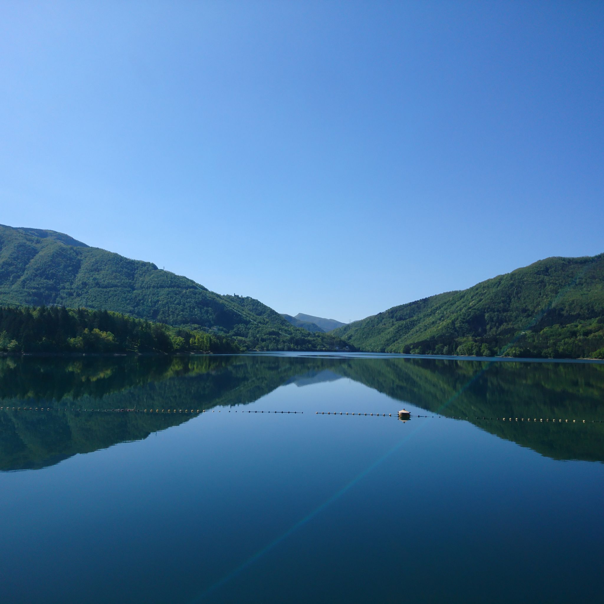
Road Cycling Routes around Montemurlo
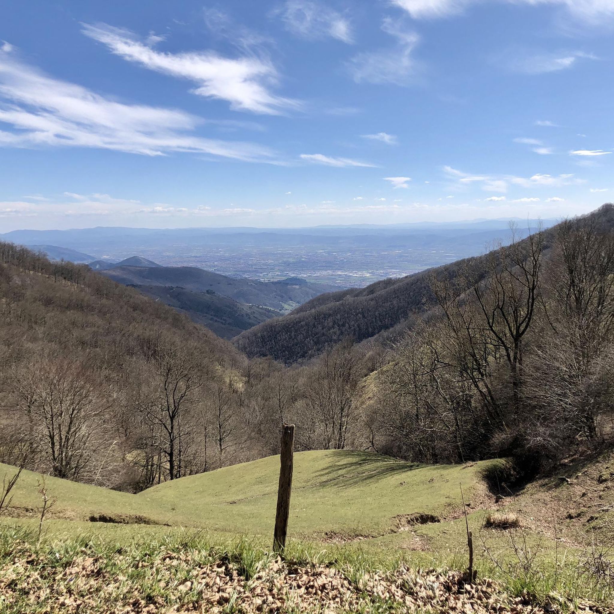
Road Cycling Routes around Cantagallo
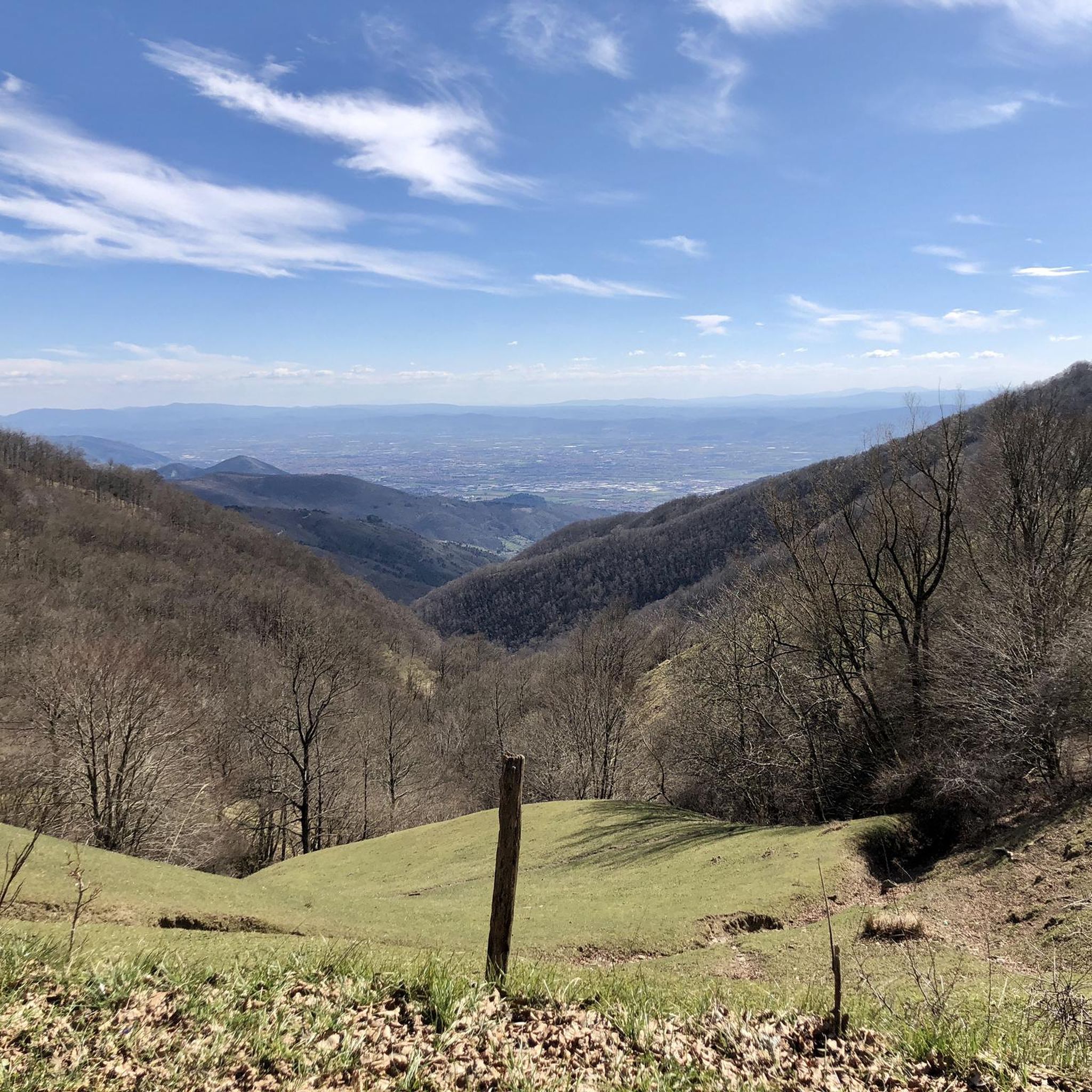
Road Cycling Routes in Riserva Naturale Acquerino Cantagallo
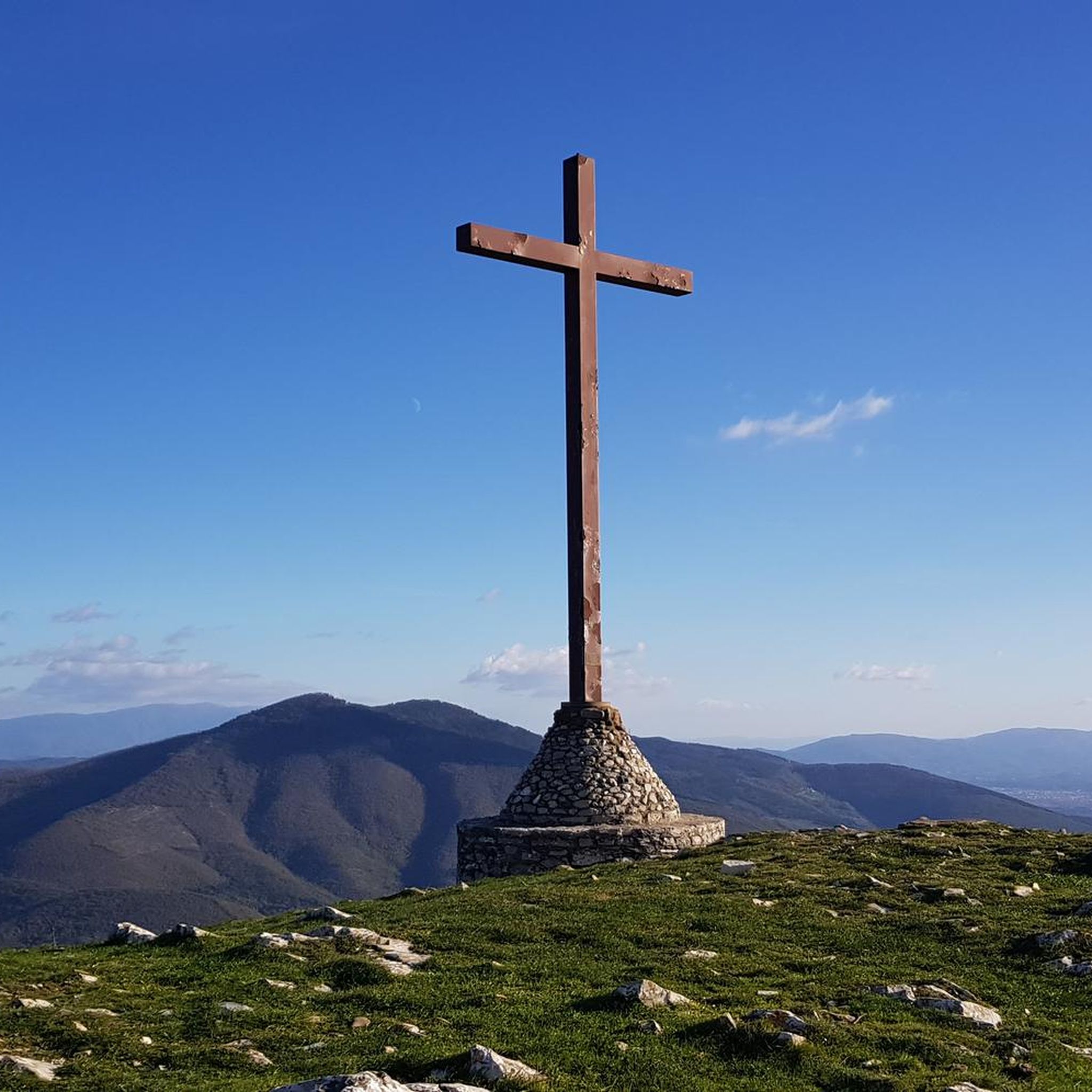
Road Cycling Routes around Vaiano
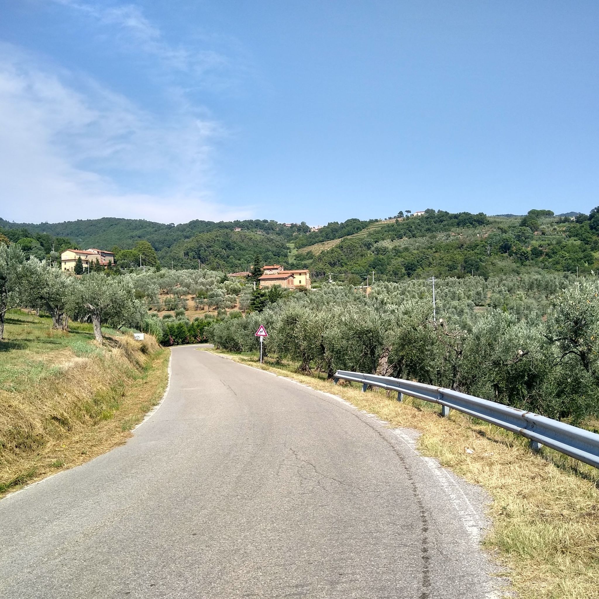
Road Cycling Routes around Carmignano
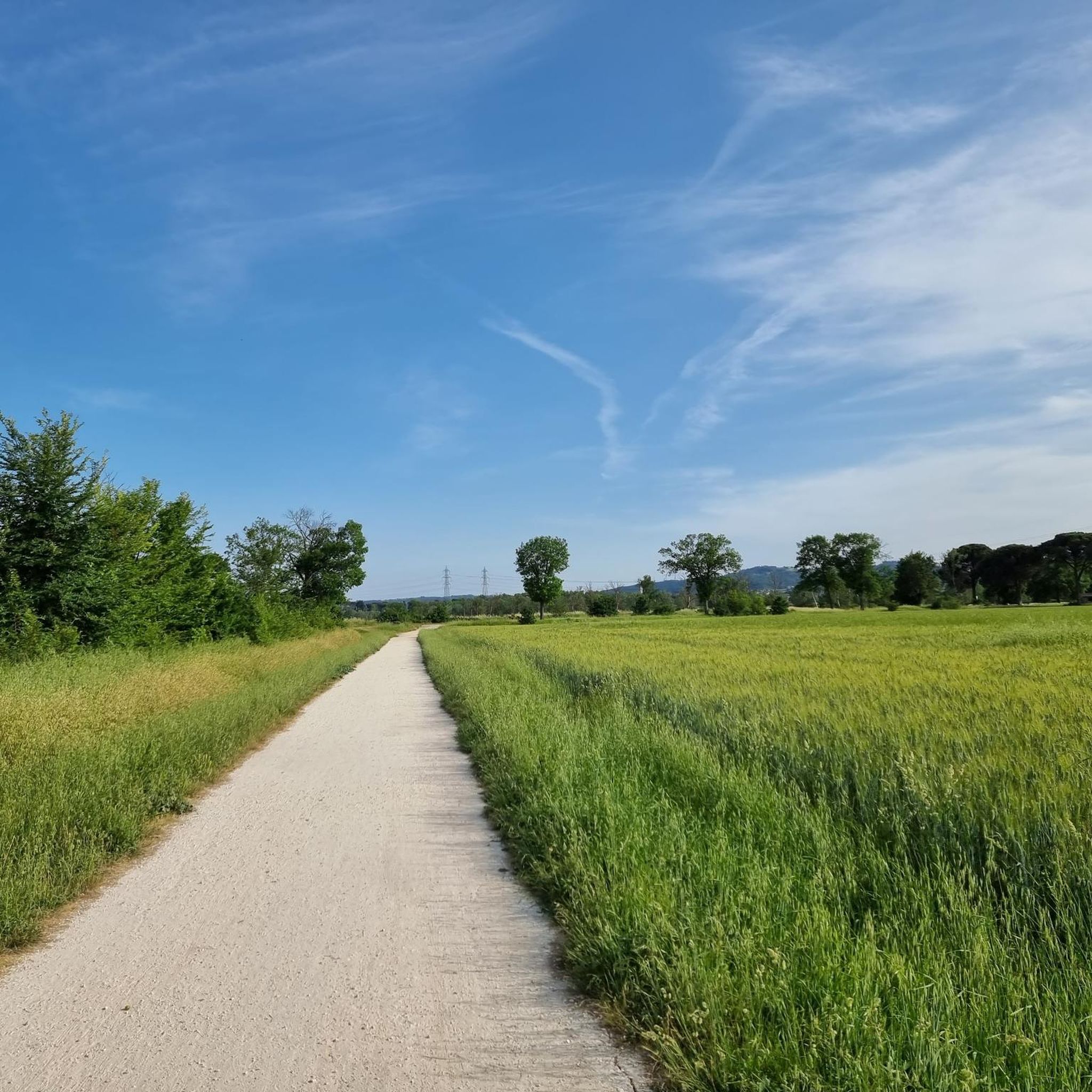
Road Cycling Routes in Area Protetta Cascine Di Tavola
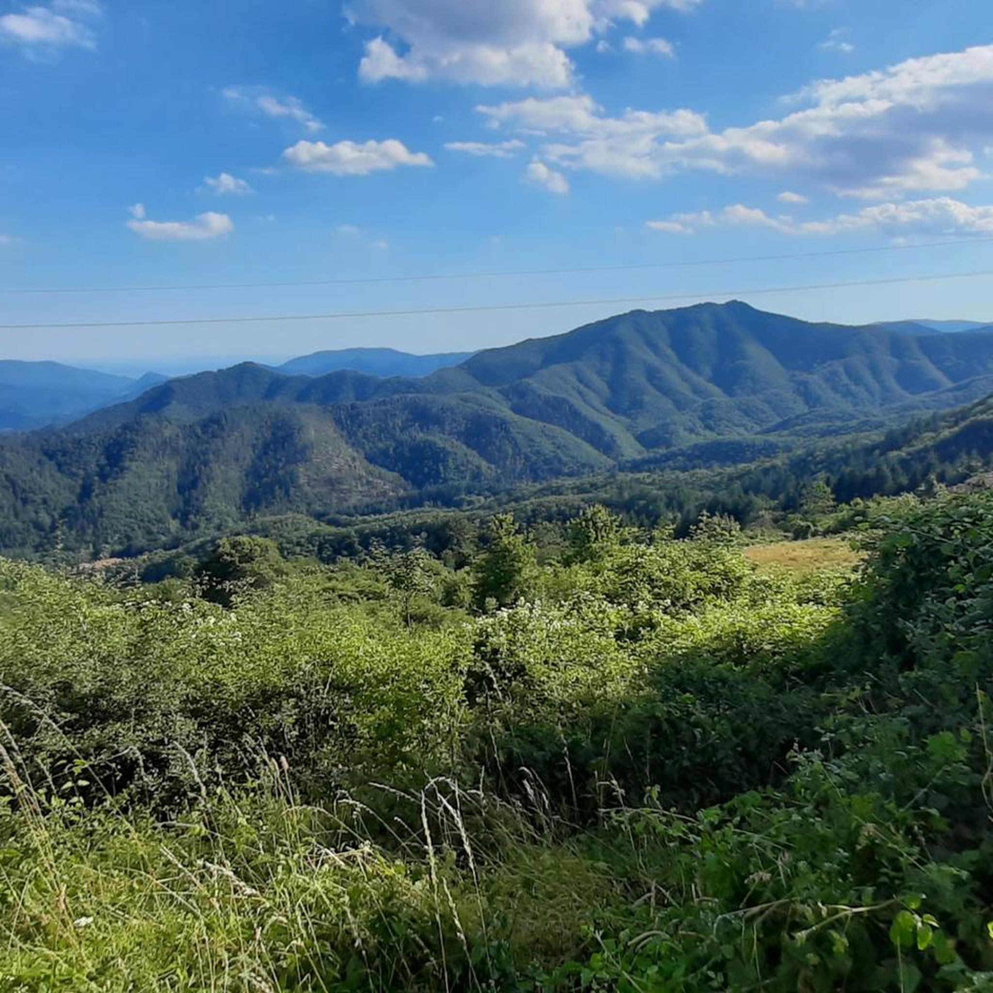
Road Cycling Routes around Vernio
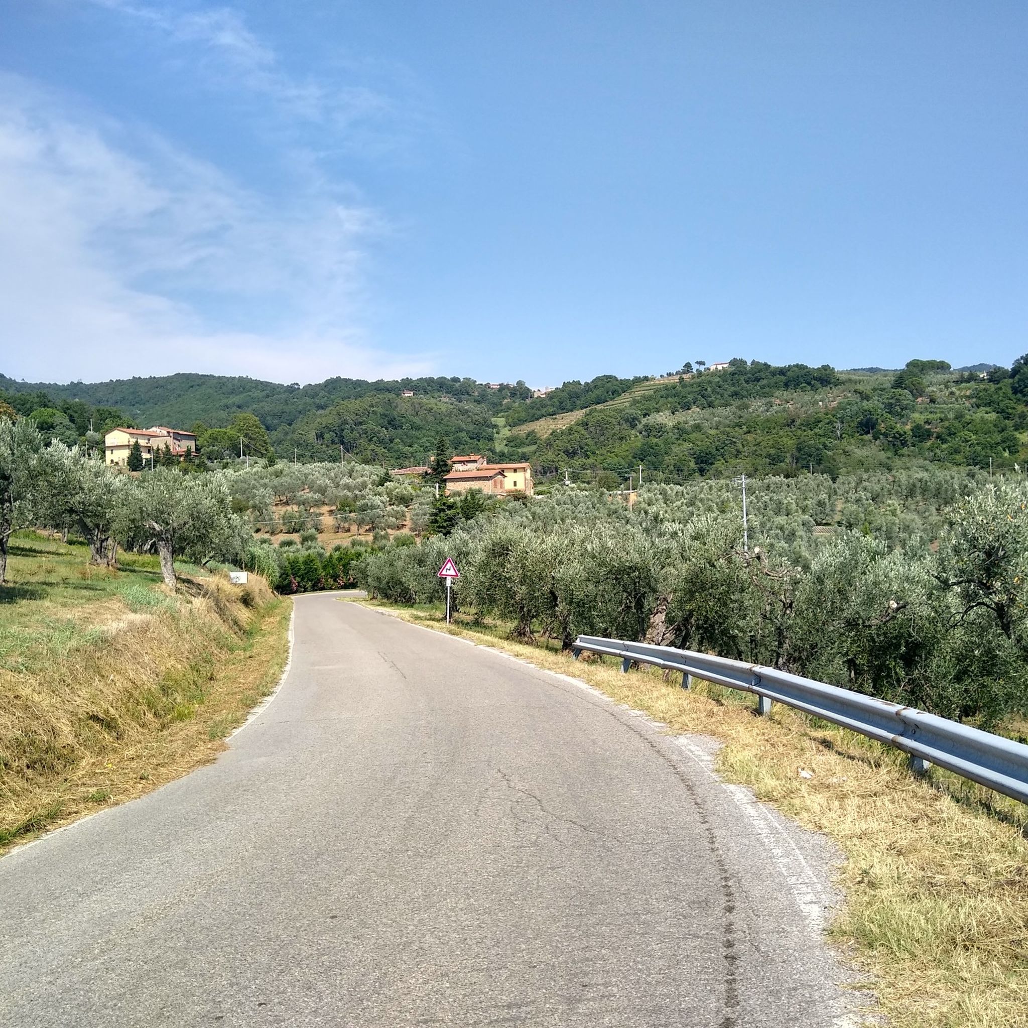
Road Cycling Routes around Poggio A Caiano
Among ancient villas in Tuscany – hike the Via Medicea
Cycling between streams and lakes – Tour of the Two Lakes


Tips from the Community

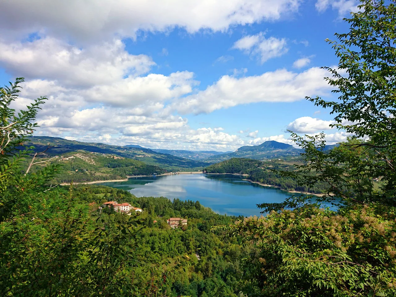
The Lago del Brasimone (also known as the Scalere basin) is a splendid artificial lake located in the Bolognese Apennines, within the municipal territory of Camugnano. It is situated at about 800 meters above sea level and is entirely included in the Regional Park of the Suviana and Brasimone Lakes.
0
0
The Pinone di Carmignano is a famous hilly pass located at about 425 meters above sea level on the ridge of Montalbano, in the province of Prato. It is a fundamental naturalistic, historical, and sporting hub of central Tuscany, famous for its woods, cycling paths, and archaeological sites.
0
0
The Duomo of Prato, officially known as the Cathedral of Saint Stephen, is the main Catholic place of worship in the city and a masterpiece of Tuscan Romanesque-Gothic architecture. The church is world-famous for its characteristic external pulpit and for the precious relic of the Holy Girdle.
0
0

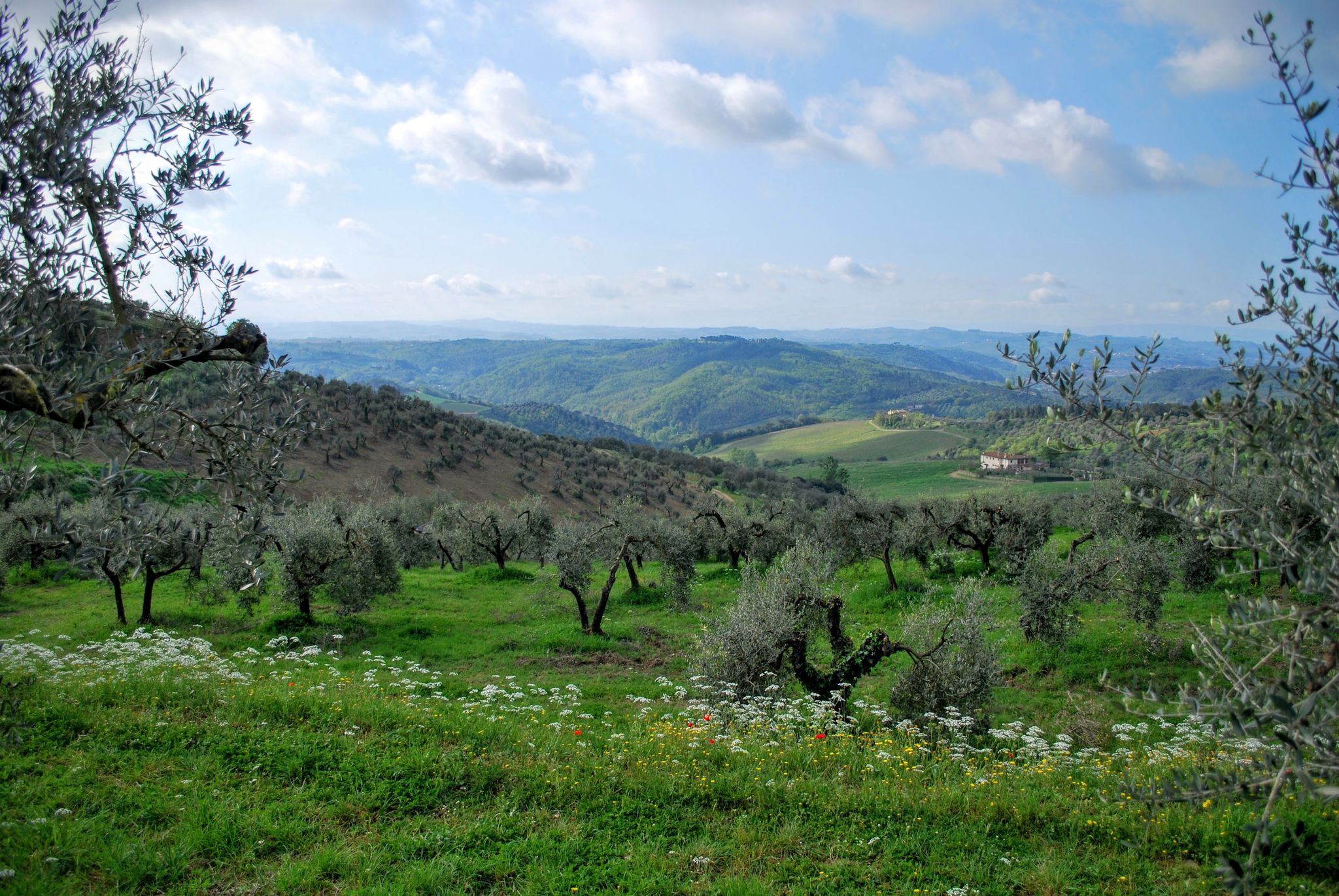
From the summit of San Baronto (about 350 m above sea level in the Montalbano hills), the panorama opens onto the surrounding valley, offering a splendid view of the typical Tuscan landscape. The view stretches over hills rich in olive trees and woods, reaching out to clearly discern the profiles of the nearby city of Pistoia, the plain towards Florence, and the gentle slopes descending towards Vinci.
0
0
The Duomo of Prato, officially known as the Cathedral of Saint Stephen, is the main Catholic place of worship and a historical-artistic symbol of the city of Prato, in Tuscany. This minor basilica is distinguished by its extraordinary Romanesque-Gothic architecture and by the Renaissance masterpieces housed within.
1
0
Schignano is a hilly hamlet of the municipality of Vaiano, located in the province of Prato (PO) in Tuscany. The village has about 800 inhabitants and is immersed in the greenery of the Val Bisenzio, on the slopes of Monte Javello.
0
0

An excellent detour to go to Spicchio Soviliana. Descending from Vitolini and turning left at the church of Sant'Ansano, you take Via dei Molin dei Frati and then Via di Collegonzi. A small road in the middle of greenery with little traffic and some slight ups and downs.
0
0

Passo Pinone from Poggio a Caiano via Via Carmignanese is a climb in the Prato region. The climb is 10.1 km long and covers 395 m of elevation gain with an average gradient of 3.9%, resulting in a difficulty score of 207. The summit of the climb is at 425 m above sea level. Want to know more? Click through to the source: https://climbfinder.com/nl/beklimmingen/passo-pinone-poggio-a-caiano
2
0
Frequently Asked Questions
What kind of terrain can I expect on road cycling routes in Prato?
Prato offers a diverse road cycling landscape. You'll find relatively flat urban cycle paths and scenic riverside routes along the Bisenzio River, ideal for relaxed rides. For those seeking more challenge, the region also features significant climbs through the rolling hills of the Montalbano area and the more rugged Calvana Mountains, providing varied elevation gains and panoramic views.
Are there road cycling routes suitable for beginners in Prato?
Yes, Prato has routes suitable for beginners. For instance, the From Prato to Vaiano – loop tour is classified as easy, covering about 25 km with moderate elevation. The city center itself is also relatively flat, making it easy to navigate and connect to less demanding paths.
What are some challenging road cycling routes in the Prato region?
For experienced cyclists looking for a challenge, Prato offers several demanding routes. The Il Pinone and San Baronto – loop from Prato is a difficult 83.5 km path with over 1000 meters of elevation gain, traversing the Tuscan landscape. Another difficult option is the From Vaiano to Barberino di Mugello – loop tour, which is 61.2 km long with nearly 1000 meters of ascent through the Bisenzio Valley and towards the Mugello region.
Can I find loop routes for road cycling in Prato?
Yes, many road cycling routes in Prato are designed as loops, allowing you to start and finish in the same location. Examples include the Il Pinone and San Baronto – loop from Prato, the From Vaiano to Barberino di Mugello – loop tour, and the From Prato to Vaiano – loop tour, catering to various difficulty levels.
What natural features or landmarks can I see along road cycling routes in Prato?
Prato's routes often combine natural beauty with historical sites. You can cycle along the picturesque Bisenzio River Valley, through vineyards and olive groves in the Montalbano area, or enjoy views of the Calvana Mountains. Historical attractions like the Emperor's Castle and the historic city center of Prato, with its Duomo, are also accessible. Specific natural highlights include Lake Suviana and Pozza della Morte (Pool of Death) on the Rio Buti.
Are there any specific viewpoints or scenic spots on the road cycling routes?
Many routes offer scenic views, especially those traversing the Tuscan landscape. The Montalbano area is known for its panoramic vistas over vineyards and olive groves. Routes like the Il Pinone and San Baronto – loop from Prato provide extensive views of the surrounding countryside. For mountain views, consider routes near the Calvana Mountains, where you might spot peaks like Croce della Retaia or Mount Cantagrilli.
What do other road cyclists enjoy the most about road cycling in Prato?
The road cycling experience in Prato is highly rated by the komoot community, with an average score of 4.3 stars from over 360 reviews. Cyclists often praise the diverse terrain, which offers a mix of flat riverside paths and challenging climbs, as well as the beautiful Tuscan landscapes and the opportunity to pass through historic towns and natural reserves.
How many road cycling routes are available in Prato?
There are over 220 road cycling routes available in Prato, catering to various fitness levels and preferences. This extensive network includes 90 easy routes, 86 moderate routes, and 50 difficult routes, ensuring options for every type of road cyclist.
Are there family-friendly road cycling options in Prato?
While many road cycling routes involve significant distances and elevation, the flatter sections along the Bisenzio River or within the city's urban cycle paths can be suitable for families. For a relaxed experience, consider exploring the city center or parks like Parco delle Cascine di Tavola by bike, which are generally easier to navigate.
What is the best time of year for road cycling in Prato?
Prato, being in Tuscany, generally offers pleasant cycling conditions during spring (April-May) and autumn (September-October) when temperatures are mild and the scenery is vibrant. Summers can be hot, especially in July and August, while winters are cooler but often still suitable for cycling, though some higher elevation routes might be less accessible.
Are there any routes that pass by lakes or water features?
Yes, some routes in the broader Prato area will take you near beautiful water features. For example, the Laghi di Suviana e del Brasimone da Vaiano – loop is a challenging route that passes by Lake Suviana. The Bisenzio River is also a recurring feature, offering picturesque riverside rides on many routes.
Can I find road cycling routes that include historical sites?
Absolutely. Prato's rich history is often intertwined with its cycling routes. You can pedal through the historic city center, admiring landmarks like the Emperor's Castle, the Duomo, and various medieval towers. The Montalbano area also features Medici villas, recognized as UNESCO World Heritage Sites, which can be incorporated into longer rides.
Most popular routes in Prato
Most popular attractions in Prato

Get inspired with the komoot mobile app


Didn’t find what you were looking for?
Check out more Road cycling routes throughout Prato below and find the perfect route in your destination.
Explore more
Browse the best Road cycling routes in other regions.
