The best walks and hikes around Francavilla Marittima
4.4
(195)
725
hikers
38
hikes
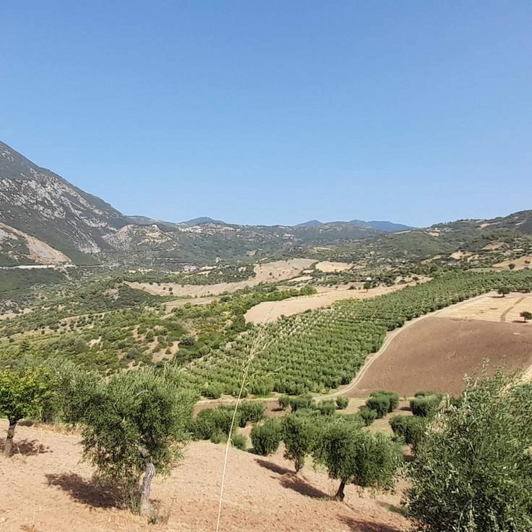
Hiking around Francavilla Marittima offers access to diverse natural landscapes, characterized by rugged mountains, deep gorges, and expansive plains. The region is situated near Pollino National Park, Italy's largest protected area, featuring towering peaks and plunging canyons. To the east, the Sibari Plain presents a different terrain with hills covered in Mediterranean vegetation, while the Raganello Gorges showcase dramatic karstic rock formations.
Best hiking trails around Francavilla Marittima
- The most popular hiking route is Civita – Pollino National Park –…
Last updated: October 11, 2026
4.4
(20)
62
hikers
13.0km
04:04
470m
490m
Embark on the Civita – Pollino National Park – loop tour, a moderate hike that takes about 4 hours and 4 minutes to complete. This 8.0-mile (13.0 km) route features…
4.9
(11)
37
hikers
3.84km
02:02
340m
340m
The Sellaro Trail offers a challenging hike through the Pollino National Park, covering 2.4 miles (3.8 km) with a significant elevation gain of 1119 feet (341 metres). You'll find yourself…

4.6
(32)
105
hikers
3.44km
01:13
180m
180m
Easy hike. Great for any fitness level. Easily-accessible paths. Suitable for all skill levels.
4.1
(25)
77
hikers
5.55km
01:50
260m
260m
Easy hike. Great for any fitness level. Easily-accessible paths. Suitable for all skill levels.
4.7
(7)
18
hikers
6.75km
02:12
300m
300m
Moderate hike. Good fitness required. Easily-accessible paths. Suitable for all skill levels.
Get access to more routes and recommendations from other explorers.
Already have an account?
Our route recommendations are based on thousands of hikes, rides, and runs completed by other people on komoot.
Start today with a free account
Your next adventure awaits.
Tips from the Community

Tip: Wear shoes with good soles if you're hiking to the summit, as there are many rocky areas, and if it's a bit damp, you risk slipping. The trail, however, is well-marked and intuitive, with fantastic views. 🏞️
0
0

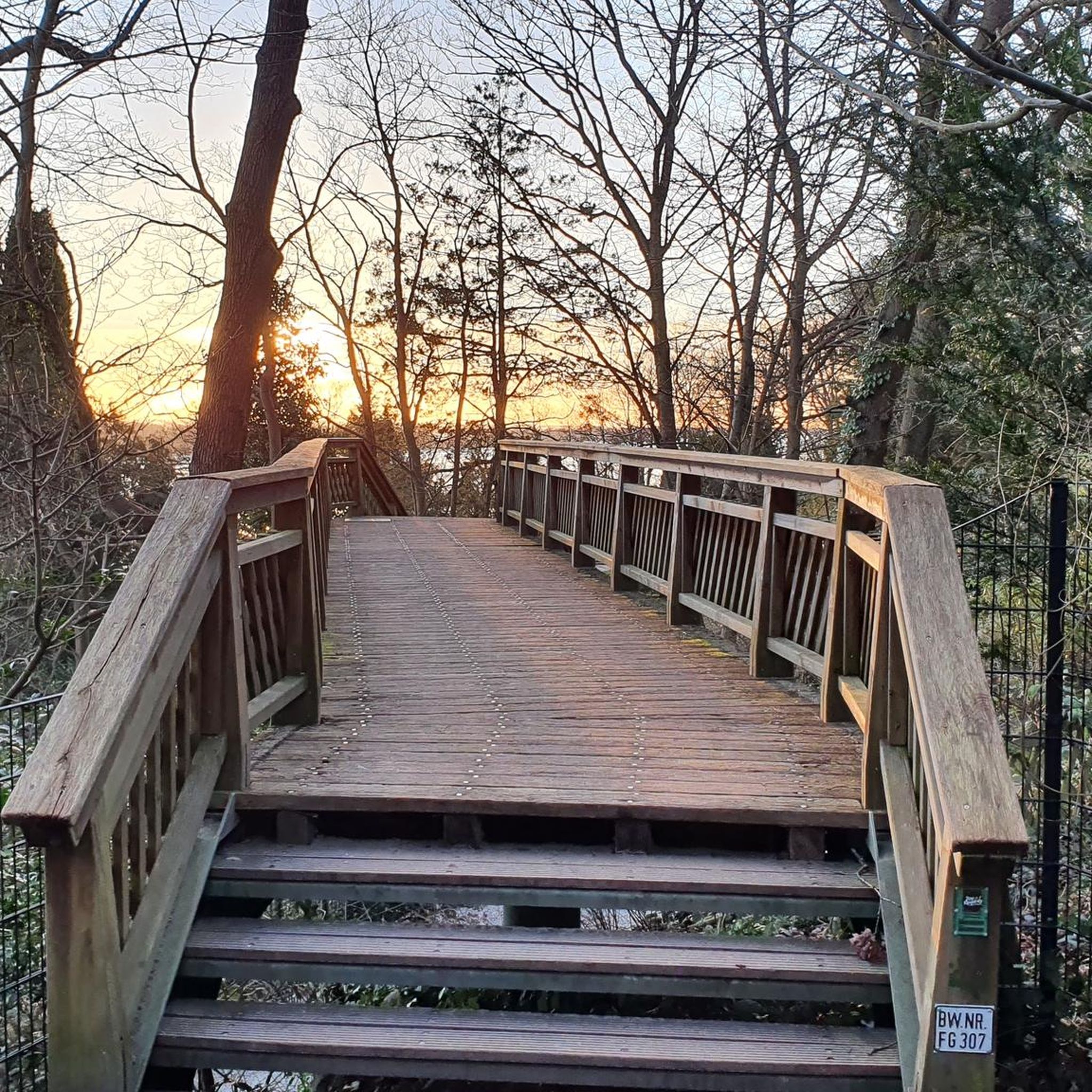
Overpass of the former Lagonegro-Spezzano Albanese railway
0
0

From this panoramic path you have a splendid view of the pretty village of Civita, 819 inhabitants in the province of Cosenza. Known as Çifti in Arbëresh, it is one of the Calabrian municipalities characterized by historical Albanian communities in Italy. It is also located within the natural reserve of the Raganello torrent gorges.
0
1

It is located between Frascineto and Civita and crosses the countryside of these two villages where there are many vineyards and wheat fields, a typical place of the area...
0
0

Civita with a small and simple deviation from the sp is mandatory to make it beautiful
1
0

Beautiful place immersed in nature, and with a little effort you can do it without the help of the shuttle
0
0

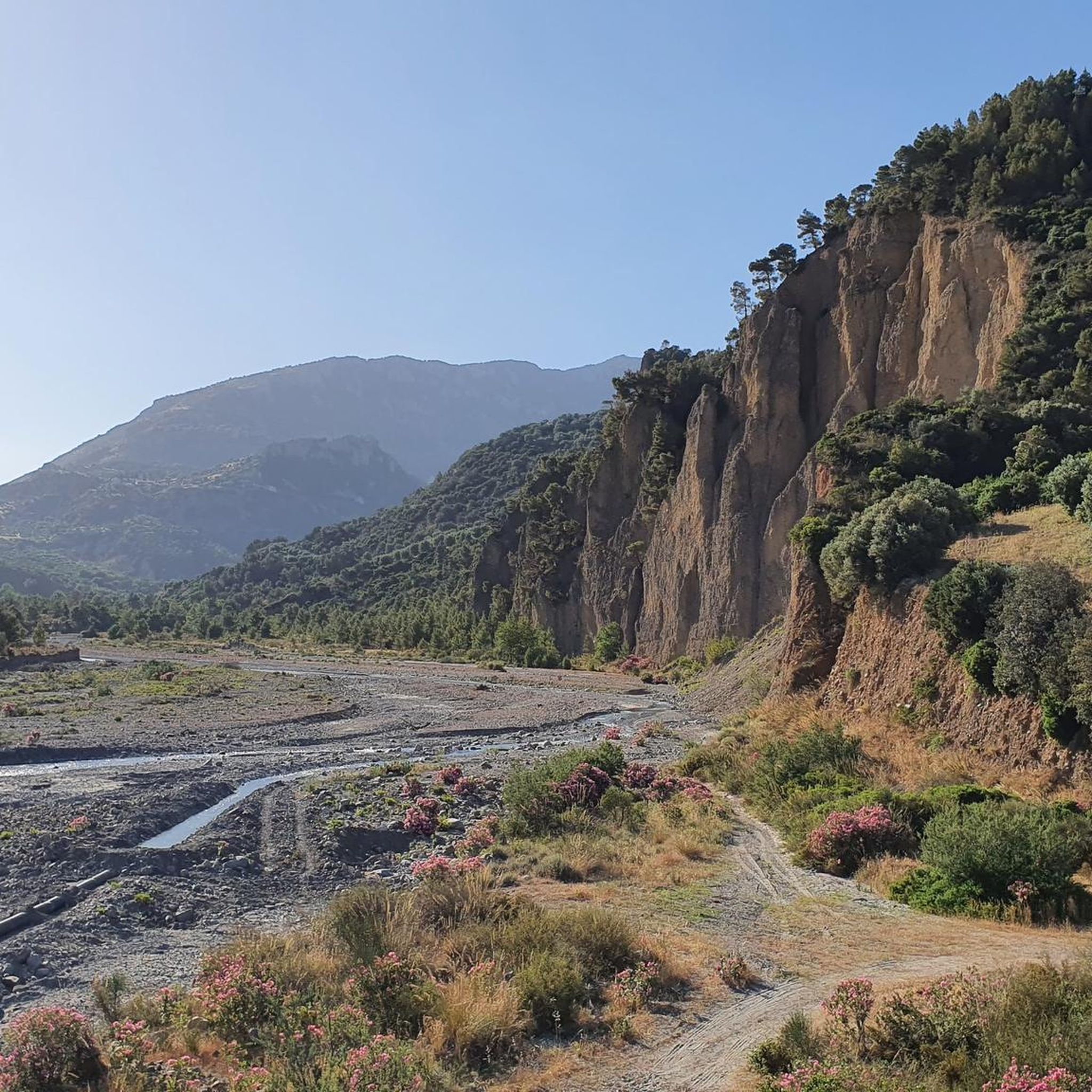
On the bed of the stream, at the exit from the gorges
0
0

Small pretty and characteristic city overlooking the Raganello gorges. Walking through the center you will notice anthropomorphic houses which, with their doors and windows, recall the shapes of a human face, they are known as "Kodra houses" or "talking houses".
2
0
Frequently Asked Questions
How many hiking trails are available around Francavilla Marittima?
There are over 30 hiking trails around Francavilla Marittima, offering a variety of experiences from easy walks to challenging mountain ascents. The region provides diverse landscapes, including rugged mountains, deep gorges, and expansive plains.
What do other hikers enjoy the most about hiking in Francavilla Marittima?
The hiking routes in Francavilla Marittima are highly rated by the komoot community, with an average score of 4.4 stars from over 170 reviews. Hikers often praise the varied terrain, from the dramatic Raganello Gorges to the panoramic views from higher peaks, and the opportunities to explore Italy's largest protected area, Pollino National Park.
Are there easy hiking trails suitable for beginners or families in Francavilla Marittima?
Yes, Francavilla Marittima offers 11 easy hiking routes, perfect for beginners or families. An excellent option is the View of Civita – Civita Village loop from Civita, an easy 2.5-mile (4.1 km) trail that takes about 1 hour 28 minutes to complete, offering scenic views around the charming village of Civita.
Are there challenging hikes for experienced trekkers in the area?
For experienced trekkers, there are 9 difficult routes available. The Sellaro Trail is a challenging 2.4-mile (3.8 km) path leading towards Monte Sellaro, offering panoramic views of the surrounding landscape. This area, particularly within Pollino National Park, features towering peaks and deep canyons for more strenuous adventures.
Can I find circular hiking routes around Francavilla Marittima?
Yes, many routes in the region are circular, allowing you to start and end at the same point. The Civita – Pollino National Park – loop tour is a moderate 8.0-mile (12.9 km) circular trail that explores the varied terrain of Italy's largest protected area. Another option is the Gole del Raganello loop from Civita, an easy 5.5 km loop through the dramatic gorges.
What natural attractions can I explore while hiking near Francavilla Marittima?
The region is rich in natural attractions. You can explore the dramatic Raganello Gorge and Devil's Bridge, known for its deep canyons and karstic rock formations. The vast Pollino National Park offers towering mountain peaks and unique flora like the ancient Loricato Pine. For stunning views, consider hiking towards Mount Sellaro or visiting the Little Dolomiti from the bottom viewpoint.
Are there any historical or cultural landmarks accessible via hiking trails?
Yes, several trails lead to or pass by significant landmarks. The charming Civita Village, an Arbëreshë town, is nestled within the Raganello Gorges and offers scenic views. The historic Ponte del Diavolo (Devil's Bridge) is also an iconic attraction within the gorges. Additionally, the Archaeological Park of Sibari on the Ionian coast combines cultural exploration with natural beauty.
What is the best time of year to hike in Francavilla Marittima?
The best time to hike in Francavilla Marittima is generally during spring (April-June) and autumn (September-October) when the weather is mild and pleasant. Summer can be hot, especially in the plains, but higher altitude trails in Pollino National Park offer cooler temperatures. Winter hiking is possible but requires appropriate gear, especially in the mountainous areas.
Are dogs allowed on the hiking trails in Francavilla Marittima?
Generally, dogs are welcome on many hiking trails in the Francavilla Marittima area, especially on public paths. However, specific rules may apply within Pollino National Park or protected areas. It's always advisable to keep dogs on a leash and ensure you clean up after them. Check local signage for any restrictions before heading out.
Is public transport available to reach hiking trailheads around Francavilla Marittima?
While Francavilla Marittima is a good base, public transport options directly to remote trailheads can be limited. It's often recommended to use a car to access many of the more scenic and challenging routes, especially those deep within Pollino National Park or the Raganello Gorges. Local bus services might connect to larger towns like Civita, from which some trails depart.
Where can I park when hiking in Francavilla Marittima?
Parking availability varies by trailhead. In villages like Civita, you can usually find designated parking areas. For trails within Pollino National Park or near popular attractions like the Raganello Gorges, there are often small parking lots or roadside spaces. It's advisable to arrive early during peak season to secure a spot, especially for popular routes.
Most popular routes around Francavilla Marittima
Most popular attractions around Francavilla Marittima

Get inspired with the komoot mobile app


Explore more
Browse the best Hikes in other regions.
