The best road cycling routes around Pram
4.6
(210)
5,679
riders
18
rides
Road cycling around Pram features routes traversing the gentle hills and river valleys characteristic of the region. The terrain primarily consists of moderate ascents and descents, suitable for road bikes. Elevations typically range up to around 600 meters, offering varied cycling experiences without extreme climbs. The area's landscape includes agricultural fields and stretches along waterways, providing a mix of open and sheltered sections.
Best road cycling routes around Pram
- The most popular road cycling route is Hausruck Ridge High Point…
Last updated: October 5, 2026
4.0
(3)
39
riders
36.3km
01:55
560m
560m
Moderate road ride. Good fitness required. Some segments of this route may be unpaved and difficult to ride.
4.0
(1)
32
riders
Moderate road ride. Good fitness required. Some segments of this route may be unpaved and difficult to ride.

4.4
(16)
92
riders
Moderate road ride. Good fitness required. Some segments of this route may be unpaved and difficult to ride.
5.0
(2)
19
riders
Moderate road ride. Good fitness required. Some segments of this route may be unpaved and difficult to ride.
4.0
(1)
17
riders
53.2km
02:40
360m
360m
Moderate road ride. Good fitness required. Some segments of this route may be unpaved and difficult to ride.
Get access to more routes and recommendations from other explorers.
Already have an account?
Our route recommendations are based on thousands of hikes, rides, and runs completed by other people on komoot.
Start today with a free account
Your next adventure awaits.
Tips from the Community

very good small local supplier and idyllic place
0
0

Ried is situated in the heart of the Innviertel hill country, in a depression of the Alpine foothills north of the Hausruck Forest. The town's name derives from the Middle High German word "Riet" (also: "Rieth," "Reet," "Rohr," and similar terms), meaning reeds growing on riverbanks and marshy ground. A spot where the gradient of the two rivers, Oberach and Breitsach, slowed and saturated the soil gave the town its name. The two rivers converge north of the old town to form the Rieder Bach, a stream that flows for 2.6 kilometers before emptying into the Antiesen River outside the town limits. Ried im Innkreis lies at an altitude of 433 meters. It extends 3.2 kilometers from north to south and 3.6 kilometers from west to east, covering a total area of 6.7 square kilometers.
3
0

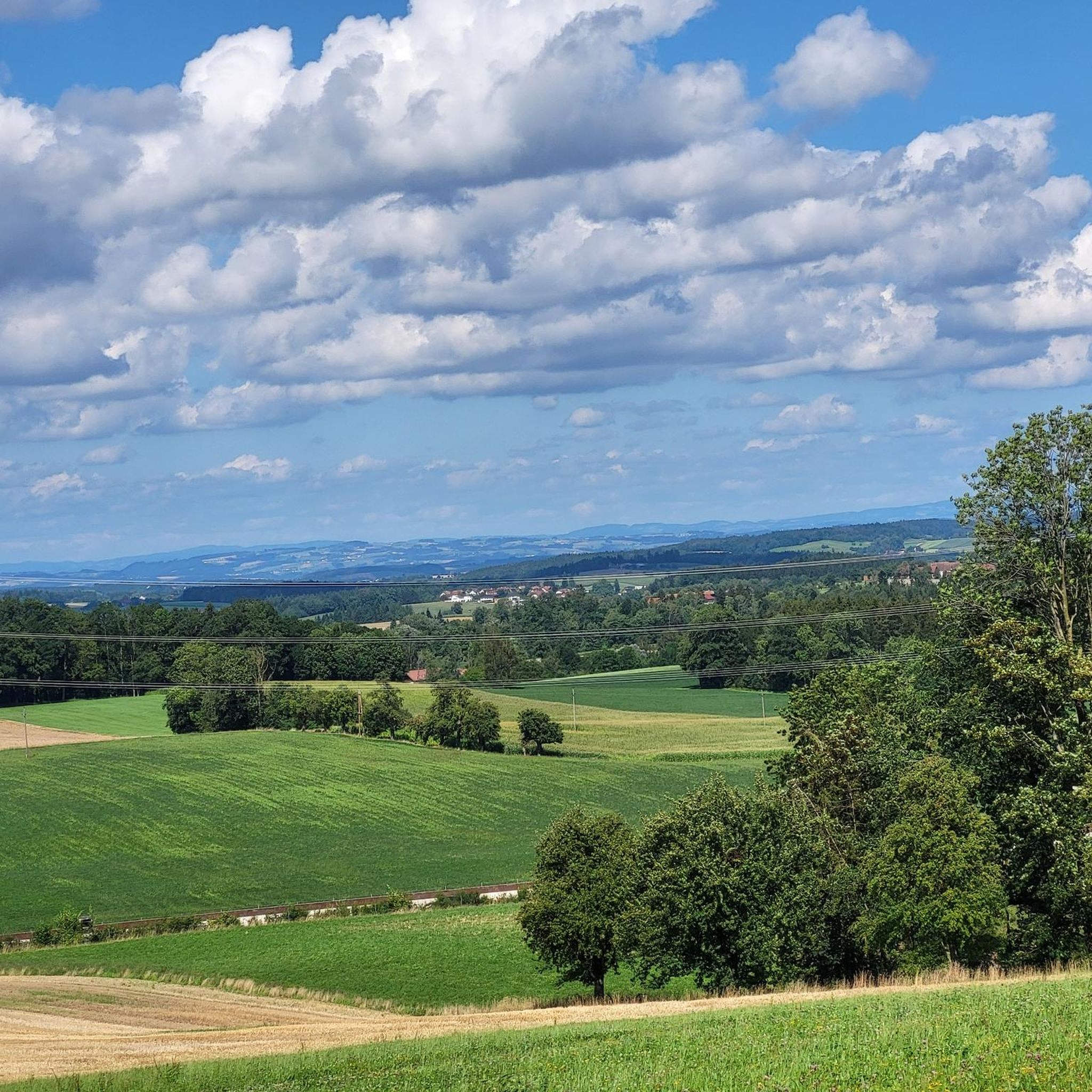
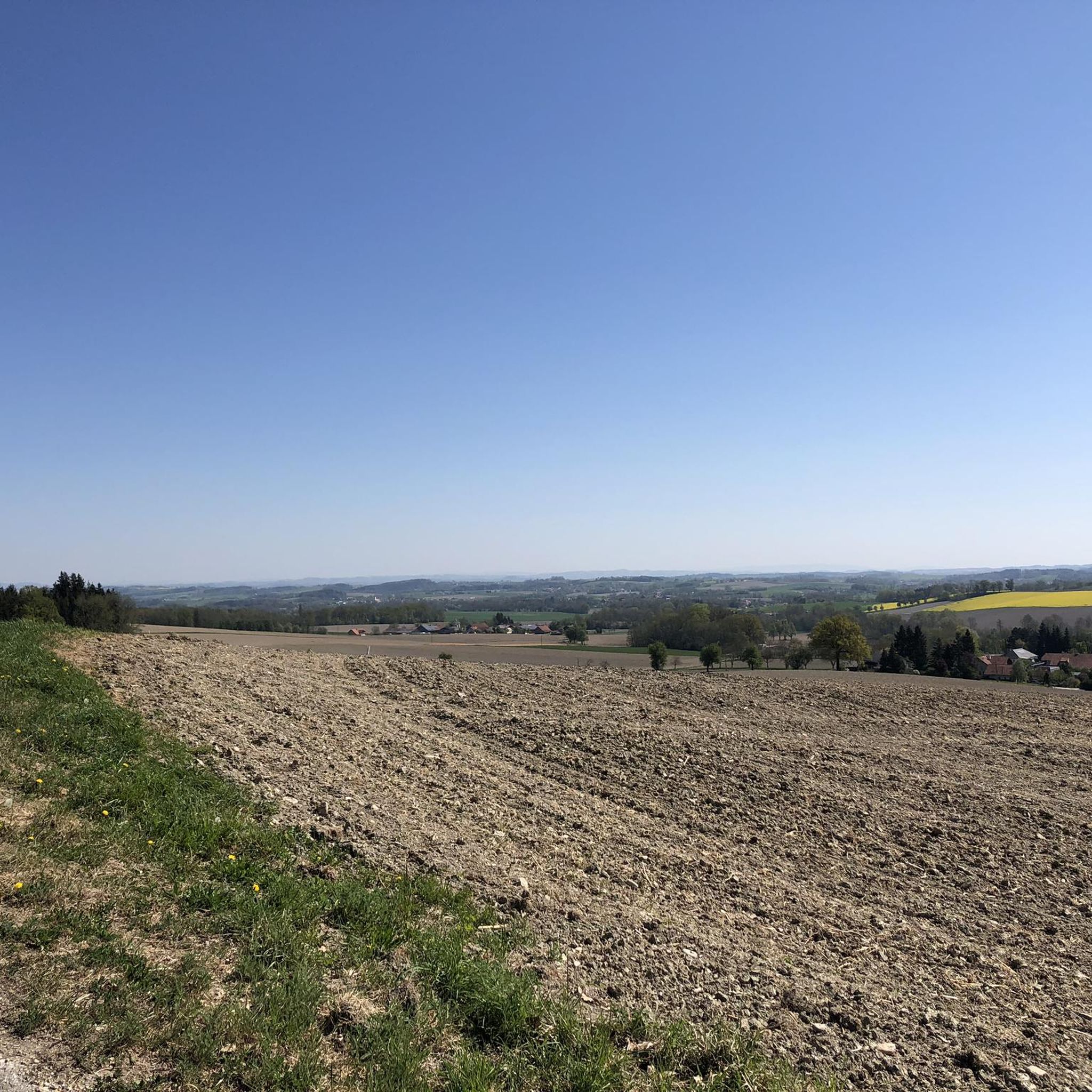
Panoramic view near Luisenhöhe, Haag am Hausruck, into the Pramtal valley.
0
0

Haag am Hausruck is a charming market town in the Grieskirchen district of Upper Austria. Here are some interesting facts about Haag am Hausruck: 1. Population: - The municipality has approximately 2,352 residents (as of January 1, 2025), making it a vibrant and active community. 2. Location: - Haag am Hausruck is situated in a picturesque setting, surrounded by the beautiful landscape of the Hausruck Forest, which offers numerous recreational opportunities. 3. History: - The municipality has a rich history dating back to the early settlement period. Historic buildings and monuments bear witness to this past. 4. Leisure Opportunities: - Haag has been a popular destination since the 1960s. The infrastructure and good transport links make it easy to enjoy nature, whether hiking, cycling, or simply relaxing in nature. 5. **Events**: - Haag regularly hosts **events** and festivals that enrich community life and attract visitors. Haag am Hausruck is therefore a fascinating destination with much to offer both locals and tourists.
1
0
The Haager Lies Cycle Path is an impressive cycling and walking path in Austria that runs along a former railway line. Here are some interesting facts about this cycle path: 1. Route Length: - The cycle path stretches over 22 km and offers a scenic route through the region. 2. Start and End Points: - The route begins in Neukirchen bei Lambach and continues to Haag am Hausruck. 3. Difficulty: - The cycle path is considered difficult because it may contain sections with loose ground that are difficult to navigate. A good level of fitness is required. 4. Elevation Gains: - The tour includes up to 450 meters of elevation gain, making it a challenging but rewarding experience. 5. Nature Experience: - The cycle path leads through a beautiful landscape characterized by forests, meadows, and picturesque views. 6. **Duration**: - The average cycling time is approximately **1 hour and 35 minutes**, depending on individual fitness and breaks. The Hague Lies Cycle Route is therefore an ideal destination for cyclists and nature lovers who want to enjoy the beauty of nature.
0
0
The "Klangstamm" (sound trunk) is a wooden sound box that you can walk inside. It was designed by the artists Josef Bücheler and Markus Leuthe. On the outside are various elements that can be used as musical instruments, including a series of sound bars and violin cases with trumpets.
1
0

Frequently Asked Questions
What is the typical terrain like for road cycling around Pram?
Road cycling around Pram features routes traversing gentle hills and river valleys. The terrain primarily consists of moderate ascents and descents, with elevations typically ranging up to around 600 meters. You'll find a mix of open agricultural fields and sections along waterways, providing varied scenery.
What are the general difficulty levels of road cycling routes in Pram?
The majority of road cycling routes in Pram are classified as moderate, making them suitable for a wide range of cyclists. While there are no routes specifically rated as easy, the moderate options offer varied cycling experiences without extreme climbs. There is also at least one route considered difficult for those seeking a greater challenge.
Are there many road cycling routes available in the Pram region?
Yes, there are over 18 road cycling routes available around Pram on komoot. These routes offer diverse options for exploring the region's landscape.
Are there any circular road cycling routes around Pram?
Many of the road cycling routes in Pram are designed as loops, allowing you to start and finish at the same point. For example, the Hausruck Ridge High Point – View of Letten Near Haag loop from Pram-Haag is a popular circular option.
What landmarks or scenic viewpoints can I expect to see along road cycling routes in Pram?
Along the road cycling routes in Pram, you can encounter several interesting landmarks and viewpoints. Notable spots include the Luisenhöhe Observation Deck and the Luisenwarte Observation Tower, offering panoramic views. You might also pass through the historic Haag am Hausruck Market Square or near the impressive Aurolzmünster Castle.
What kind of natural attractions can be found near the cycling routes?
The Pram region offers several natural attractions. You can find the Lederer Kopf Summit, the Source of the Pram river, and various natural springs and forest picnic areas, such as the Forest Spring and Picnic Area.
What do other road cyclists enjoy the most about road cycling in Pram?
The road cycling experience in Pram is highly rated by the komoot community, with an average score of 4.4 stars. Cyclists often praise the varied terrain, which includes rolling hills and river valleys, and the well-maintained routes that lead through picturesque agricultural landscapes.
Are there any specific routes that are good for families or beginners?
While most routes are moderate, the region's gentle hills and well-defined paths can be enjoyable for families with older children or beginners looking for a moderate challenge. Routes like the Haag am Hausruck Market Square – Haager Lies Cycle Path loop from Pram-Haag offer a good introduction to the local countryside.
What is the best time of year for road cycling in Pram?
The best time for road cycling in Pram is generally during the warmer months, from spring through early autumn. During this period, the weather conditions are typically most favorable, with less rain and comfortable temperatures for longer rides. Summer offers lush green landscapes, while spring and autumn provide pleasant temperatures and beautiful seasonal colors.
Are there options for parking or public transport access to the routes?
Information regarding specific parking facilities or public transport connections directly at the start of each route is often detailed within the individual komoot tour descriptions. It is advisable to check the specific route page for the most accurate and up-to-date logistical information.
Can I find cafes or places to stop for refreshments along the routes?
Many road cycling routes in the Pram area pass through or near small towns and villages, where you can often find cafes, bakeries, or traditional inns for refreshments. For example, routes starting from or passing through Haag am Hausruck Market Square will offer opportunities for stops.
What is the longest road cycling route available in Pram?
One of the longer routes available is the Lignorama Wood and Tool Museum – Zell an der Pram Castle loop from Pram-Haag, which covers approximately 53.2 kilometers (33 miles) and includes varied terrain.
Most popular attractions around Pram

Get inspired with the komoot mobile app


Explore more
Browse the best Road cycling routes in other regions.
